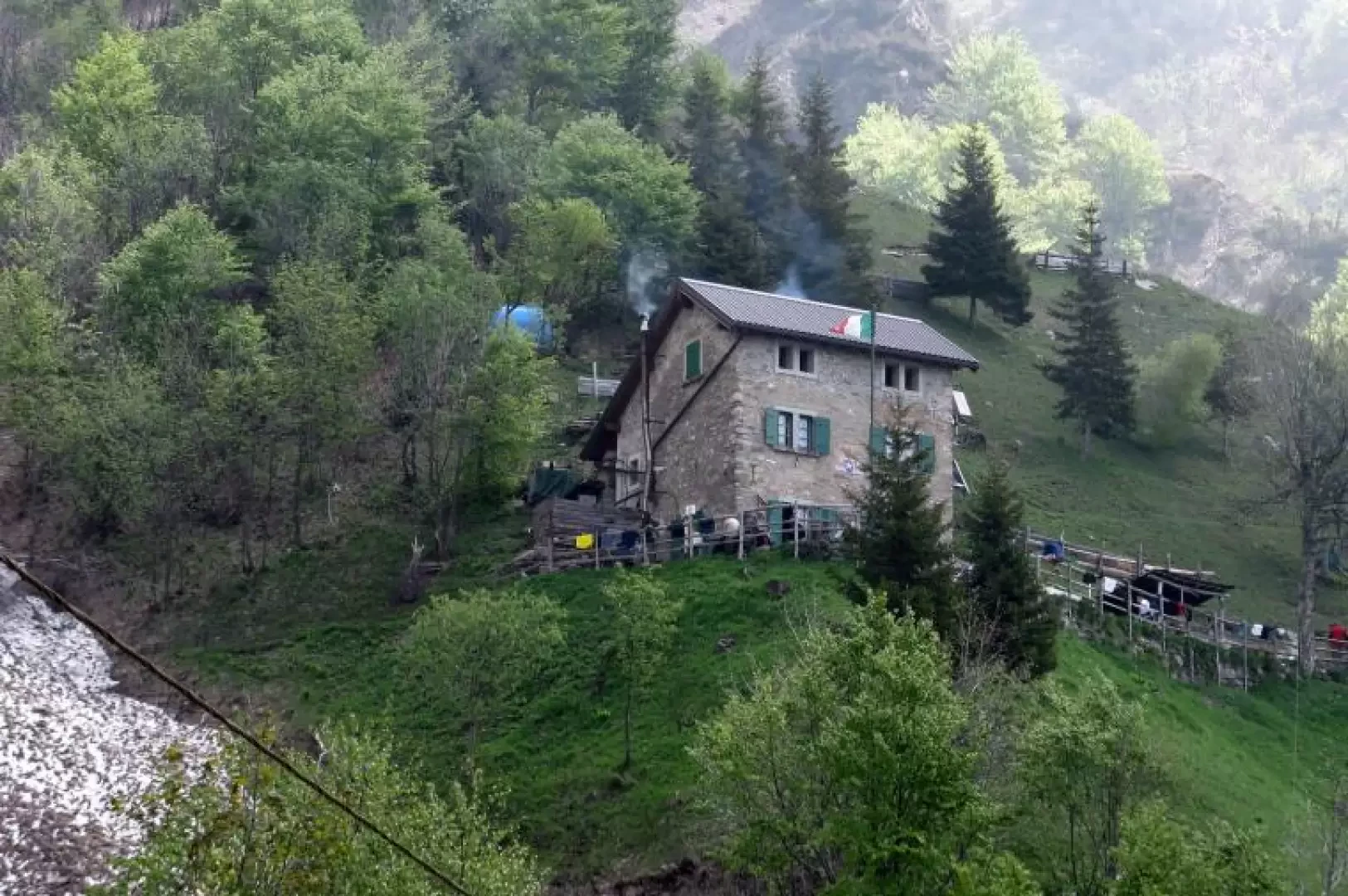
Elisa Refuge, from Rongio

Access
SS36 towards Lecco Sondrio. Exit Mandello del Lario; continue to Mandello and turn right at the first roundabout (Moto Guzzi factory). Continue uphill and follow the signs for Rongio (white background). After passing two roundabouts, the road climbs decisively; shortly afterwards a new signpost indicates Rongio on the left; you finally arrive at Rongio, where there is a large car park on the right (near the sports field). It is best to arrive early because it is a very popular destination and the car park fills up easily.
.Description
From the car park, go up the tarmac road that enters the village; immediately after a bar, on the left, there are the signposts indicating Rifugio Elisa, No. 14. The path starts off very gently and with slight ups and downs arrives at the first bridge (Ponte di ferro, m. 487), which crosses the narrow gorge carved out by the Mèria stream. Here the easy cart-track ends and a stepped path begins that climbs more steeply; we soon arrive at a characteristic cave known as the "Ferrera" or Copper Cave, with a fountain (Acqua Bianca, m. 540). Before the cave, route 18 starts to the left, which we will take on the return journey, closing a loop. Now the path (to the right) climbs decisively and gains the left flank with a long series of hairpin bends. At an altitude of 880 metres a level section leads into the Canalone dei Medi Lunghi. We continue on the stepped path, again climbing steadily, rounding the opposite slope, and after another sequence of hairpin bends we emerge from the forest at a grassy ridge (altitude 1040). Panoramic viewpoint over Sasso Cavallo, Sasso dei Carbonari and the Cresta Federazione. On the other side of the valley you can see the O ridge of the Grignetta with the Rosalba hut. The path climbs rather steeply, interspersed with flat stretches. It crosses several valleys and at the end of a rather steep section in the forest (1350 m), the Elisa hut can be seen in the distance. The path now becomes gentle, and in a short time you arrive at the foot of the rampart that you climb before the hut. If you wish, you can continue to the Buco di Grigna and Traversata Alta by following trail marker 14. This is a demanding path with a difference in altitude of about 300 metres (about 1 hour). To be done with favourable weather conditions and no snow. The return is along the ascent route, but we recommend the diversions to the Gardata (marker 20), which is located after the first descent from the hut just below Sasso Cavallo. The path first descends and then climbs a hump (slight difference in altitude). When you reach the summit, you will see a post with an obvious yellow marker, and to the left a stylised metal crucifix. Take care not to continue on the path that climbs up just behind the crucifix, but to descend the path marked by the marker, at first not very evident then becoming clearer. The path descends steeply into the forest and, at an altitude of about 1,100 metres, you are greeted by a splendid beech wood that soon leads to the Gardata. It is a very austere stone building surrounded by a beautiful pine forest. It is a private house but it is possible to find a water source. The path now descends less steeply and broadly (be careful: do NOT follow the obvious track that leads almost level to some benches; that also descends but lengthens the road) until you reach the paved section that descends decisively with continuous hairpin bends. Finally you arrive again at the Acqua Bianca (again the restorative spring) and, following the uphill route, you shortly return to Rongio.