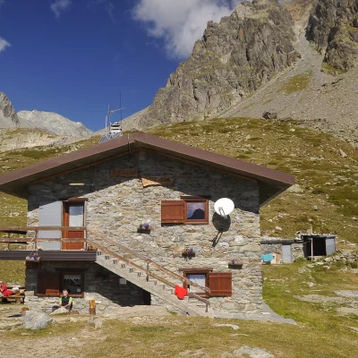
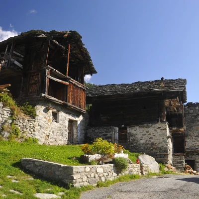
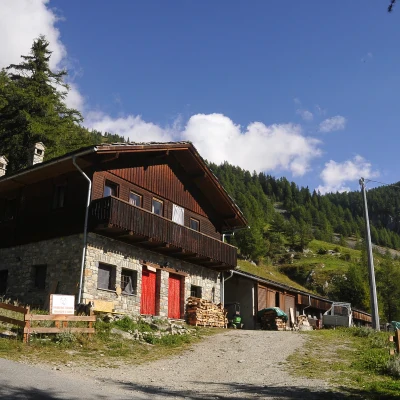
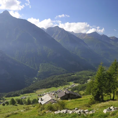
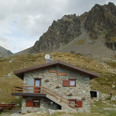
Crête Sèche refuge, from Ru
Access
Leaving the motorway at the Aosta Est barrier, turn right and take the dual carriageway to follow for 8.4 kilometres. At Signayes, turn right onto the regional road following the signs for Bionaz/Laravoire. Pass a roundabout and continue on the regional road along the entire length of Valpelline. Pass through the villages of Valpelline and Oyace until, after about 27 kilometres, you reach the hamlet of Dzovennoz. Turn left, following the signs for Chez Leo Merloz Ru, Ley Cretes. Go up the little communal road for 1.3 kilometres until you reach the free car park 🅿️ before the village of Ru.
[0h39'] - [29.2km]
How to get there with GMaps
How to get there with Apple Maps
The directions given here have been verified as of the date of the survey of the route. Before setting off, it is advisable to ensure that no substantial changes have occurred on the route to the starting point. We therefore recommend the use of the satellite navigation apps provided by Google or Apple for up-to-date and detailed directions.
Introduction
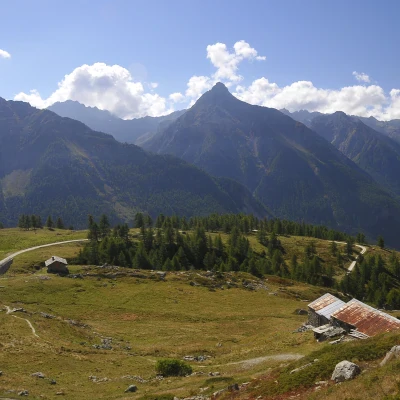
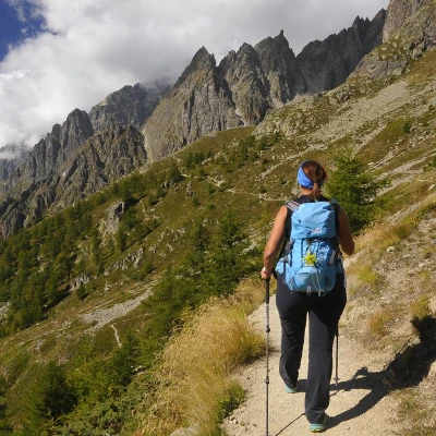
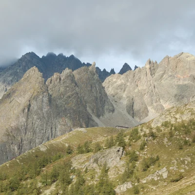
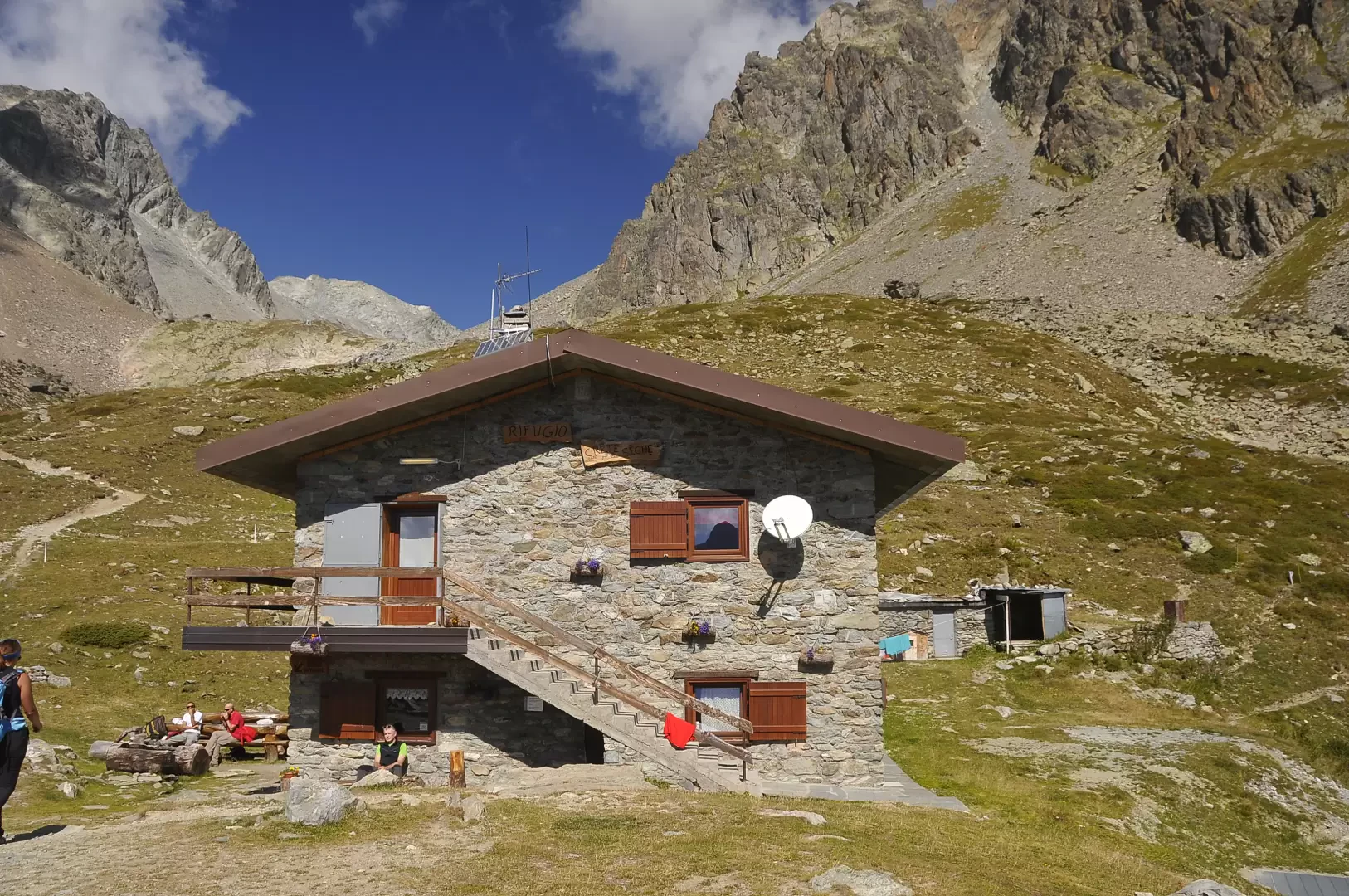
This hiking route leads to the Crête Sèche hut, located at an altitude of 2,389 metres, through an impressive alpine landscape. The route, with a total height difference of 650 metres, winds its way through pastures, larch forests and stretches of farm road, offering panoramic views of the valley below. Starting from the car park, you pass through various stages that allow you to appreciate the variety of the mountain environment, passing traditional alpine pastures, natural springs and wooded areas. The ascent, which takes about two hours, culminates with the arrival at the hut, preceded by a steep and scenic section of trail that offers spectacular views of the surrounding area. This route is ideal for hikers seeking a moderately demanding walk in a fascinating natural setting.
Description
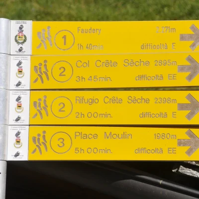
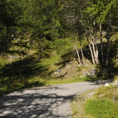
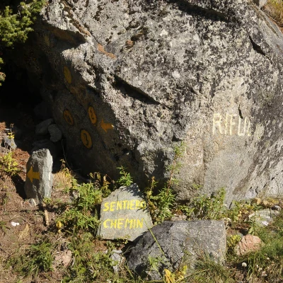
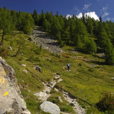
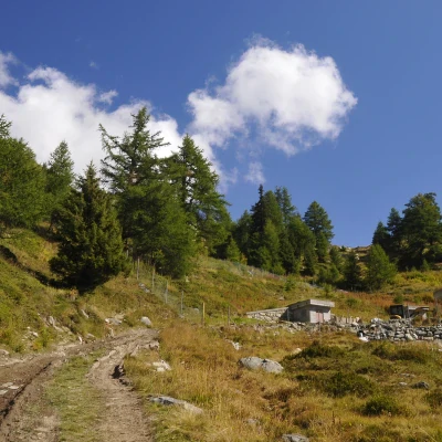
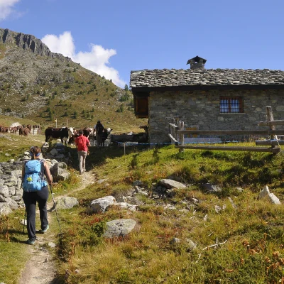
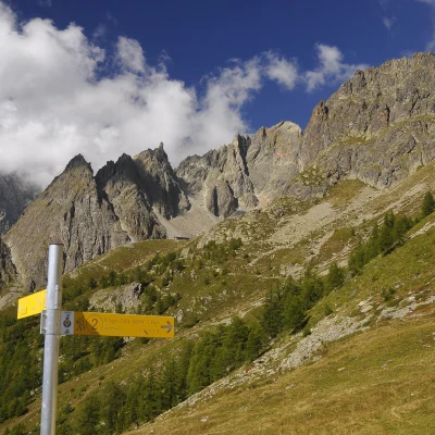
0h00' 0.00km From the car park, walk back a few dozen metres until you reach a small house with toilets and a drinking fountain 💧. Near the hut, you will come across a signpost with directions to the trails in the area. Take the path to the right and start climbing up the slope between the pastures. During the first part of the ascent, cross the dirt road leading to Berrier several times. Let the pastures gradually give way to a larch forest (Larix decidua). Skirt the Berine mountain pasture (1757m) and soon reach the fork for Faudery (1862m).
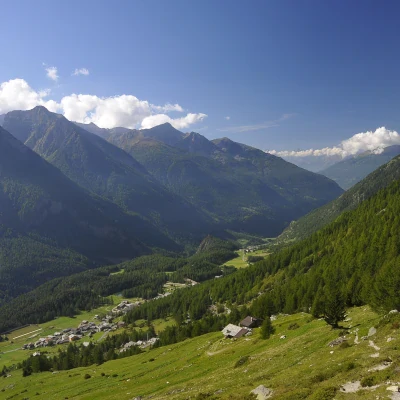
0h30' 0.83km Follow the grassy track to the right until reaching the Promont mountain pasture (1857m), situated on a grassy terrace with a splendid view of the valley below. Leave the grassy track and take the path up the slope between meagre pastures and swathes of woodland. Cross the farm road again a couple of times before meeting the unnumbered path that leads directly to the hut along the ridge of Berrio du Governo (2009m).
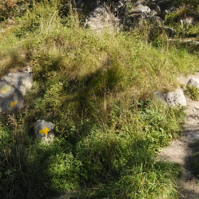
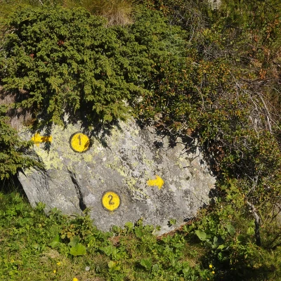
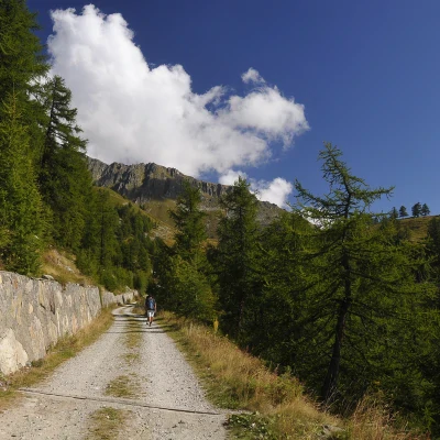
0h50' 1.43km Neglect the left-hand fork and continue straight ahead for a long stretch along the farm road, coming within sight of an aqueduct outlet. Leave the track for a moment and take a path that cuts across a section of it. Go through a short stretch of woodland and allow the path to level out near the Baita della Libertà hut (2167m), where you will come across a new marker post.
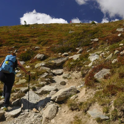
1h30' 2.52km Turn left and go up the pasture, leaving the Berrier pasture on your right. Turn left again and begin a pleasant ascent halfway up the hillside, passing a small spring 💧 halfway up, which soon brings you within sight of the hut. Abruptly change the slope of the path, starting to climb the moraine ridge of Berrio du Governo. In view of the slope, gain height quickly until you reach a boulder topped with Tibetan flags, which slightly anticipates the arrival at the Crête Sèche hut (2389m) 2h00' 3.95km .
The return is along the same route as the ascent (1h15' .
Points of Interest
- Ru
- Berine
- Promont
- Berrier
- Rifugio Crête Sèche
