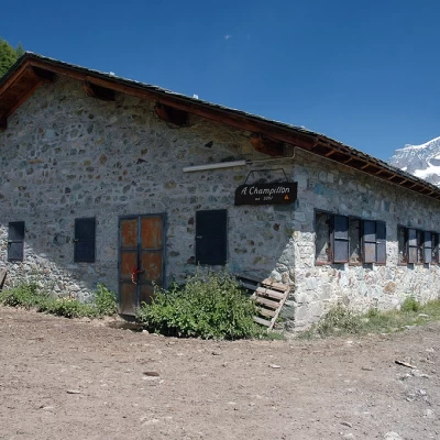
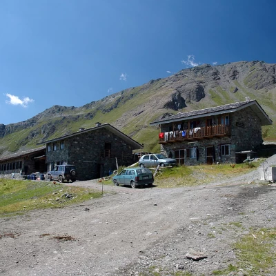
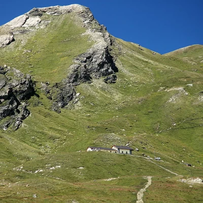
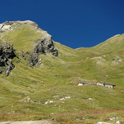
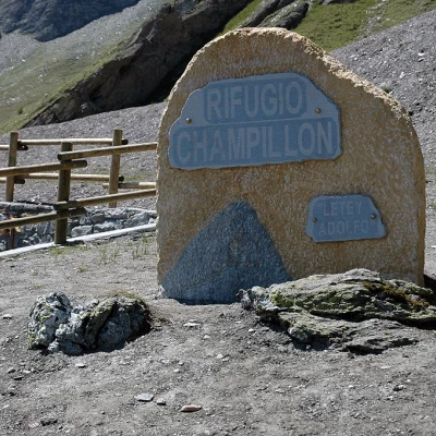
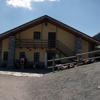
Champillon Refuge, from Les Rey
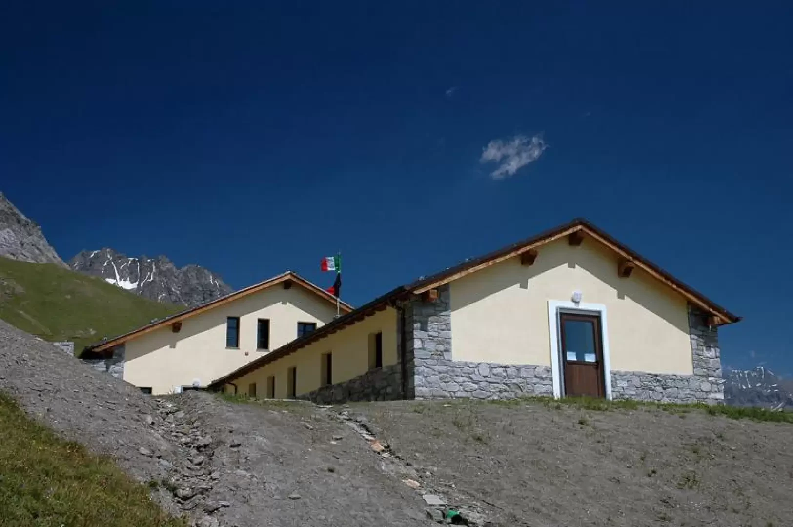
Access
Leaving the motorway at the Aosta Est barrier, turn right and take the dual carriageway to follow for 8.4 kilometres. At Signayes, turn right onto the regional road following the signs for Bionaz/Laravoire. Pass a roundabout and continue on the regional road along the entire length of Valpelline. Pass through the village of Valpelline and, after 16.9 kilometres, turn left onto the regional road , to be followed for 4.1 kilometres until reaching the hamlet of Morion, where there is a large free car park 🅿️.
[0h26'] - [21.4km]
How to get there with GMaps
How to get there with Apple Maps
The information provided here has been verified as of the date of the route survey. Before setting off, it is advisable to ensure that no substantial changes have occurred on the route to the starting point. We therefore recommend the use of the satellite navigation apps provided by Google or Apple for up-to-date and detailed directions.
Introduction
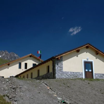
The Champillon hut, opened in June 2005, is one of those huts of which one can safely say: it was needed! In fact, in addition to being an interesting destination in its own right, it represents an essential stage place for both the Tour des Combins and the Alta Via 1 (High Route of the Giants). So all that's left to do is to climb the slopes of the Crou de Bleinze in the magnificent mountain setting of the Grand Combin: an opportunity not to be missed!
If you want to shorten the climb, you can reach the hut much more quickly from the Plan Debat car park: it can be reached by following the carriage road from Doues.
Description
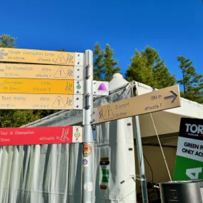
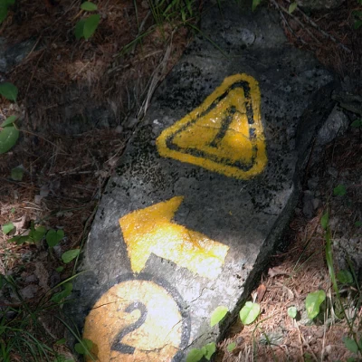
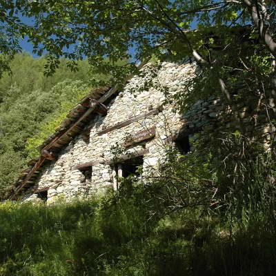
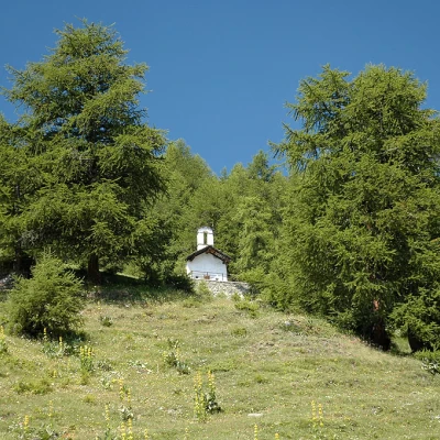
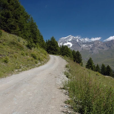
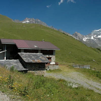
Leaving the car behind, you cross the Buthier stream on an asphalt bridge and immediately come to a signpost: turn left and go up the village, passing by the 'Vecchia Miniera' inn. Go around the inn on the right and take a path that begins by crossing a pasture before entering the forest. You begin to climb into the forest, which occasionally affords beautiful views of the Grand Combin. The path widens out slightly as it continues its ascent through the forest and, after a few bends, crosses a flat track (1392m, 0h15'). Turn left and, after a few metres, take a path to the right: a rather steep section begins in the forest; after a few minutes, the path forks: keep to the right, following the Alta Via. With a series of twists and turns, climb the short but steep stretch before the Prumayes clearing; at a certain point, the path flattens out, leaving some pastures on its left, and reaches Prumayes (1621m, 0h30'). After passing the first ruin, with a couple of twists and turns, one passes under a second ruin and begins to cross the forest again. After an initial slightly uphill stretch in a northerly direction, the trail turns left at the height of a stream bed. The route now increases in gradient, always on a comfortable path: a series of twists and turns follow until reaching a beautiful prairie, where you will come across a marker signposting the Col de Champillon. Follow some yellow arrows placed on stones embedded in the ground: with the tall grass, it can be difficult to find them. Go up the prairie until you reach a small agricultural road that you meet, as the crow flies, at the level of the alpine pasture; proceed to the left for about one hundred metres until you come to a small path that branches off to the right: go up it diagonally until you reach Alpe Champillon (2057m, 1h25'). From the alp, turn immediately to the left and soon climb up the path to reach a farm road at the foot of the Notre Dame des Neiges chapel. Walk to the right until you reach a fork in the road: turn left and, shortly afterwards, you will come to another marker indicating the hut. Climb up the little road until reaching Alpe Pessinoille (2,151m, 1h 40'). Follow a couple of hairpin bends until you meet a path, marked TDC (Tour des Combins), on the left. Take it and start to climb up a ridge that has been somewhat disrupted by recent work to bury electric cables. You cross the farm road again and continue straight on until reaching the Tsa de Champillon (2300m, 2h00'). The goal is approaching: past the mountain pasture, the hut is now in sight. Climb up a grassy ridge to rejoin the little farm track, which we follow until we finally reach the Champillon hut (2430m, 2h30').
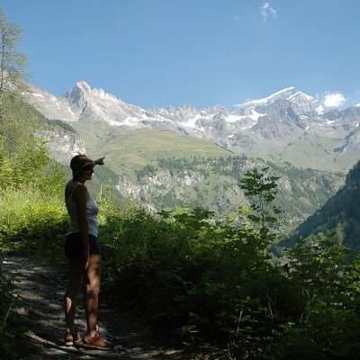
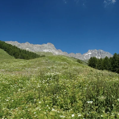
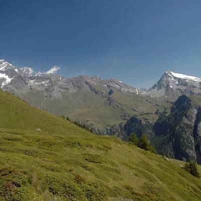
Located at the foot of the pass of the same name, the hut remains an excellent vantage point over the beautiful By valley, from the Grand Combin to Mont Gelé.
The return journey follows the same route as the outward journey.
Punti di Interesse
- Rifugio Champillon
- Ollomont
- Doues
Collections
- escursioni con partenza dal parcheggio di Les Rey - sulla mappa
- escursioni a Ollomont - sulla mappa
- escursioni ai rifugi della Valle d'Aosta - sulla mappa
Galleria fotografica
We have been there
Conca di By e Rifugio Champillon
Dal parcheggio di Glacier si torna indietro e si inizia a salire sul sentiero, poi mulattiera, seguendo le indicazioni 3,4 e 5. La mulattiera ci porta, con continua pendenza, a Pont (1681m) e infine alla Cappella di By (1904m). Da qui, dopo essersi fermati a guardare il lago di By, si prende il sentiero nr 4 fino ad arrivare alla poderale all'altezza di By. Qui si abbandona il sentiero 4 verso il Rifugio Chiarella amianthe, e si volta a sinistra seguendo le segnalazioni TdC (Tour des Combins). Il sentiero lascia la strada e prosegue sulla destra dove continua a salire sino alla poderale superiore (2179m). Il panorama sulla conca e sulla valle di Ollomont e' molto bello. A questo punto il sentiero e' a tratti attrezzato con catene dove il sentiero e' stato messo a posto a seguito di frane che l'hanno scavato via. Si arriva ad un'insolita passerella sopra il fiume dove il sentiero passa tra la roccia. Nel Bosco, il fiume passa inizialmente per grosse tubature fino a che esce all'aperto. ATTENZIONE, il sentiero vecchio prosegue dritto e incrocia la poderale poco prima della cappella N.S. delle Nevi. A quel punto si gira a destra e si riprende a salire. Il nuovo sentiero e' chiaramente segnato sulla destra, passa il fiume su un ponticello di legno e risale per incontrare il sentiero nr 1 all'alteszza dell'Alpe Pessinoille. Una pallina segnaletica ci indica che il rifugio Champillon e' a 45 minuti. Arrivati alla Tsa de Champillon l'edificio giallo del rifugio e' ben visibile. Si ritorna sulla nr 1 finche' , alla curva prima della cappella N.S. della Neve, si volta sul sentiero numero 2 che segue la strada passando davanti a un paio di alpeggi e qualche casa per poi voltare a destra e iniziare a scendere a ripidi tornanti fino a Vaud (400m di dislivello). Si ritorna a Glacier sulla strada.
