Bonze Refuge, from Visey
Access
You exit Pont-Saint-Martin from the motorway, turning left. Shortly afterwards, turn left again for Grand Vert and Clapey. Use the motorway subway and the bridge over the Dora. Before Grand Vert, from a playground area, go right to climb the Vert hill on an increasingly narrow winding road (11 km - at a crossroads, with hut signs, go left) that, for the last 4.5 km, is unpaved (in places asphalted near the houses that pass each other). Just above the Visey mountain pasture (1311 m), at a fork in the road, park. You ignore the ban placed in the Prapousaz locality, without requesting permission to pass (as confirmed by the refuge manager).
.Introduction
The Alpe Bonze refuge in the Fer valley above Donnas (Ao)Description
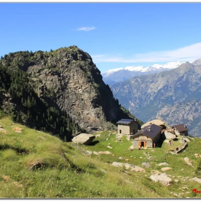
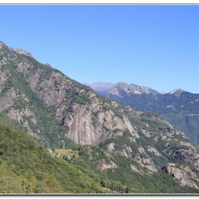
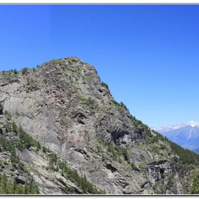
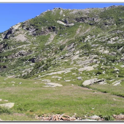
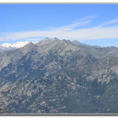
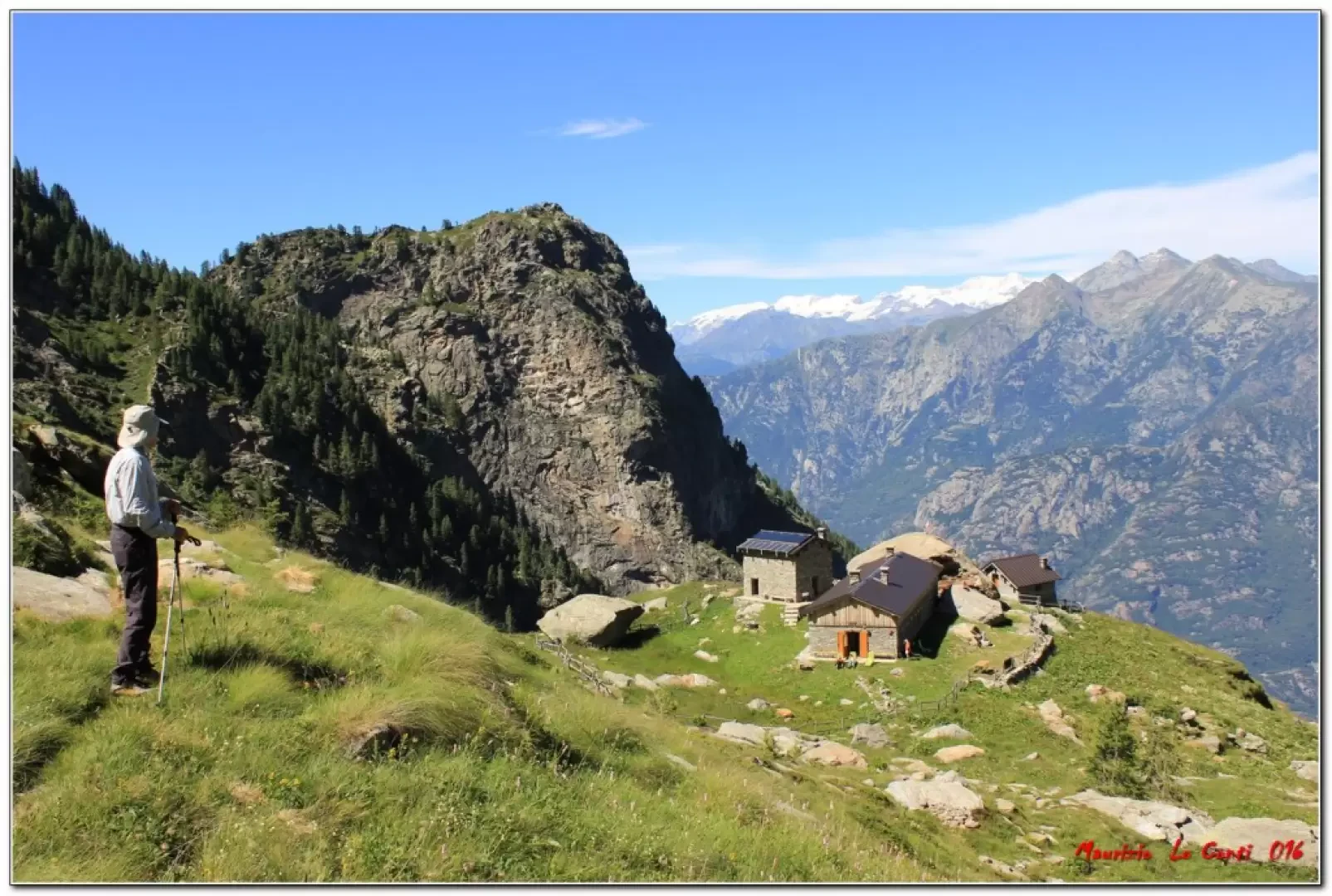
The weather was predicted to be excellent and so it was... Wonderful excursion in the Aosta Valley to the Alpe Bonze refuge. Continue to the right along the new gravel road. Further on, it is closed off by a bar, but on foot you pass it. There is a beautiful view of Pont San Martin through the trees and you pass several alpine pastures, which have now taken on some value thanks to the new road. We follow the track to the end where the actual trail begins (30'). We cross a bridge and cut along the mountainside with several ups and downs, first in the forest then in a somewhat more open environment. You cross a few streams and, in places, the cobblestones are in good condition. Instead, in some places you will struggle more. Slowly, as you climb in altitude, you begin to see the Rosa group and the Matterhorn in its entirety. Finally, we cross a last ridge and climb more decisively to the now visible refuge (1h25). In the last section, the views are more open. The hut is reached by arriving from the left and crossing a stream (35'). The hut (Dedicated site: https://rifugioalpebonze.com/ hut open from mid-June to mid-September) is newly available and is the result of the renovation of an old alpine pasture with three buildings. It is situated at 1860 m, but the difference in altitude is about 630 m due to the various ups and downs. We took our time and looked around during the ascent, as we should, and it took us a total of 2h30.
The hosts' welcome is warm; unfortunately, as it is not yet well connected to other more famous routes, attendance is limited. The food is well cared for and we ate very well, spending 20 euro on a set menu from starters to dessert and coffee, including an excellent polenta with cheese, sausage and meat (as well as a taste of some special jams...). Afterwards we chat a little more with the managers, who tell us their stories and show us the distant Rif. Coda, barely visible.
Finally, we make a brief digression above the structure from a beautiful meadow, a small waterfall and with a view from an even higher altitude of the Rosa group and the Matterhorn.
It is very late when we set off again! The descent is a bit uncomfortable, plus we still have to deal with the ups and downs (approx. +70 of altitude difference). We don't go fast and it takes us about 2h to get back to the car (total height difference A and R 700 m approx.). The weather was super and not too hot, Dif. E. 4h30 Tot.
Trip Photos:
http://cralgalliera.altervista.org/RifugioAlpeBonze016.pdf
http://cralgalliera.altervista.org/altre2016.htm
All the photos of the trips in Valle d'Aosta will soon be available at the link
http://cralgalliera.altervista.org/GiteValleDAosta.htm
NB: in the case of a trip, always check with FIE, Cai, the park authority or other institutions, pro loco, etc., that there have been no changes that have increased the difficulties! No liability is accepted. The present text is purely indicative and not exhaustive.
Info Hiking Section Cral Galliera: http://www.cralgalliera.altervista.org/esc.htm
trips 2016 at link: http://www.cralgalliera.altervista.org/gite016.pdf
