Barmasse Refuge, from Maen

Edited by:
Massimo Martini
Updated at: 08/03/2025
Access
Leave the motorway junction at Châtillon-Saint-Vincent, turn left and continue for 300 metres to the roundabout. Take the third exit to join Via Emile Chanoux and follow it for 600 metres, passing through the historic centre of Châtillon. Turn slightly right onto Via Menabreaz and continue for 450 metres to the roundabout with the Cervino monument in the centre. Take the second exit and enter the regional road in the direction of Valtournenche.
Continue on for 15.6 km, passing through the municipality of Antey-Saint-André and the villages of Buisson and Fiernaz, until you reach Maen. Shortly after the power station CVA, on the right, there is a large free car park 🅿️ with a charging station for electric vehicles.
Distance and travel time
🕒 Estimated time: 24 minutes
📏 Distance: 17.50 km
GPS navigation
📍 Google Maps | 📍 Apple Maps
Important note
The directions provided were verified as of the date the route was taken. However, it is advisable to check for any updates to the route, particularly regarding access to the starting point. Before setting off, consult up-to-date navigation tools for accurate directions. The use of satellite navigation apps, such as Google Maps or Apple Maps, is recommended to ensure the most accurate and safe route.
Introduction
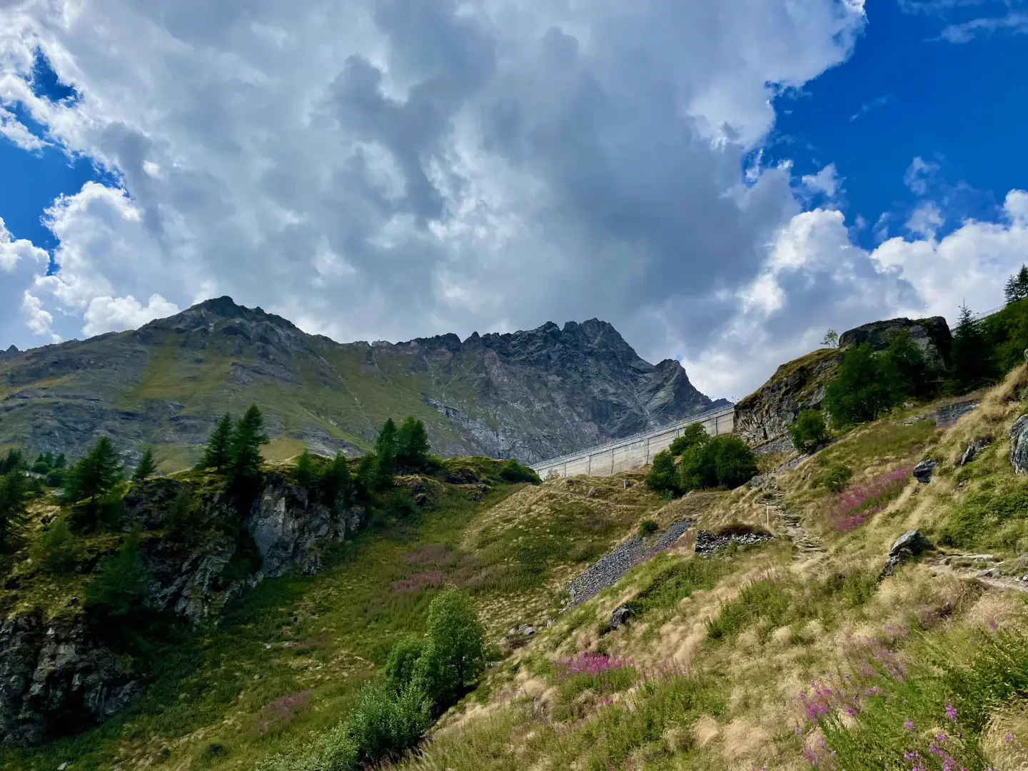
Stepping into the heart of Valtournenche means walking along paths that tell the story of the history and nature of the Alps. The route to the Barmasse Refuge (2175 m) is a journey through terraced pastures, larch forests and ancient mountain villages, with the majestic backdrop of the Matterhorn dominating the horizon. Along the way, the landscape opens up to alpine lakes, dams and lonely valleys, providing an authentic experience in the mountains of the Aosta Valley.
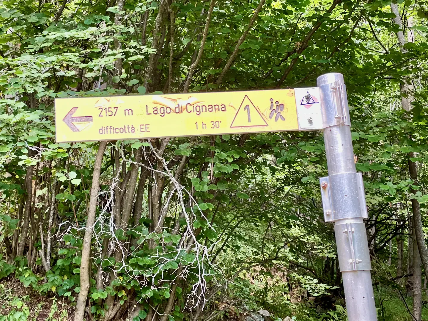
This hiking route of medium difficulty starts at Maen (1340m), a hamlet of Valtournenche, and covers a total of 8.44 km, with a positive altitude difference of 852m. The well-marked path, signposted
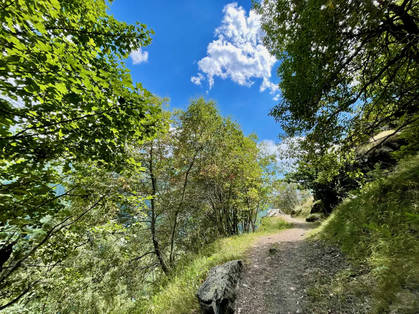
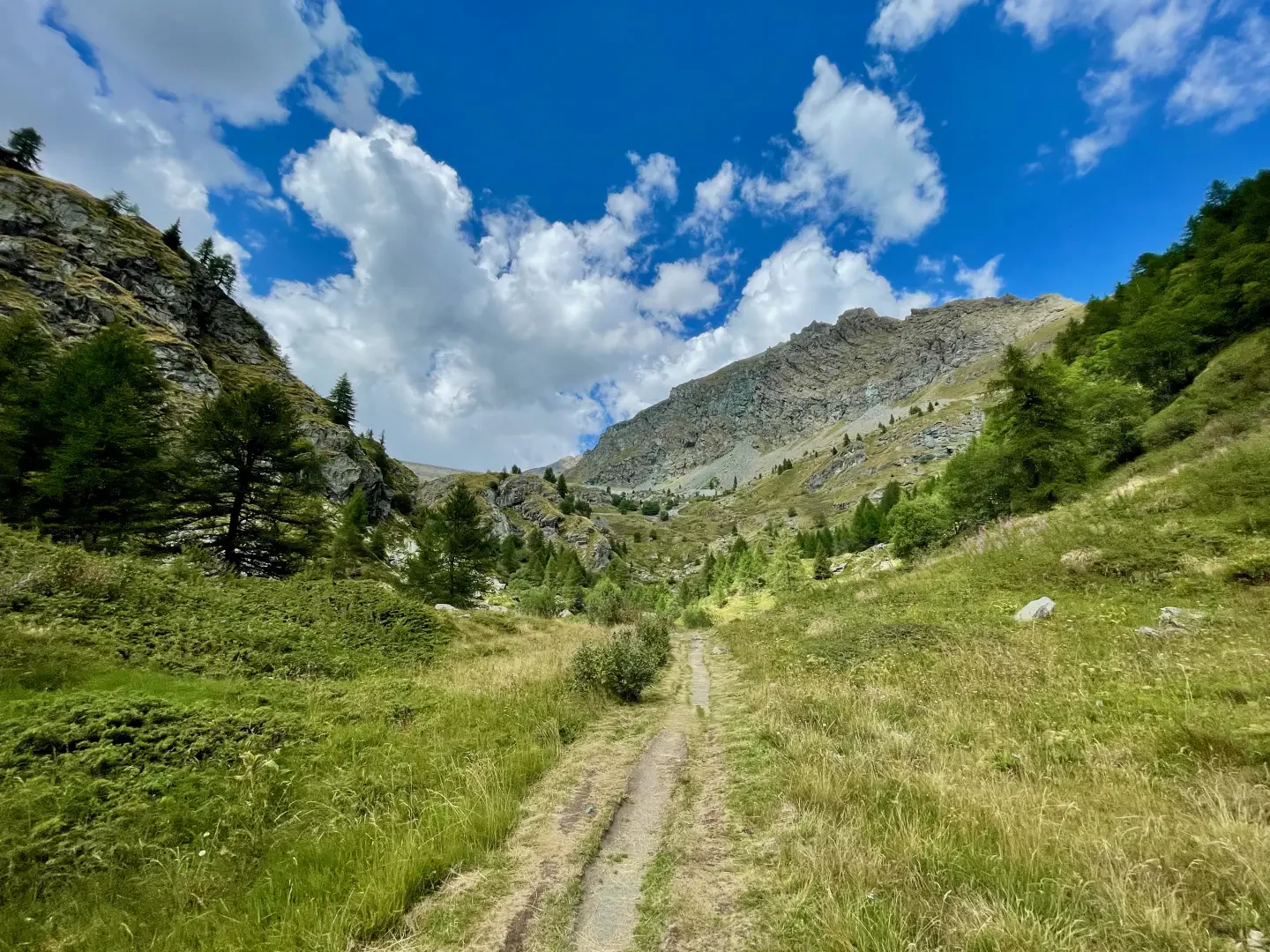
, alternates between wooded stretches and panoramic clearings, passing through small alpine hamlets such as La Vénaz and Promoron, until reaching the Cignana dam and, a little further on, the refuge. Suitable for hikers with a minimum of experience, it can be walked from spring to early autumn, when the ground is cleared of snow and the vegetation offers intense colours and scents.
Among the distinguishing features are the old stone mule tracks, the vestiges of now abandoned mountain settlements and the suggestive view of Lake Cignana, a reservoir framed by the Alpine peaks. In addition to the splendid views of Valtournenche and the Matterhorn basin, the route offers the possibility of observing ibexes (Capra ibex), marmots (Marmota marmota) and the golden eagle (Aquila chrysaetos) flying over the ridges.
Practical advice: Be sure to have adequate clothing and a good supply of water, especially in the warmer months. The ascent, although not technically difficult, is demanding due to the difference in altitude. The stop at Rifugio Barmasse is the perfect opportunity to relax in front of a typical dish and enjoy one of the most beautiful natural terraces in the Aosta Valley.
Description
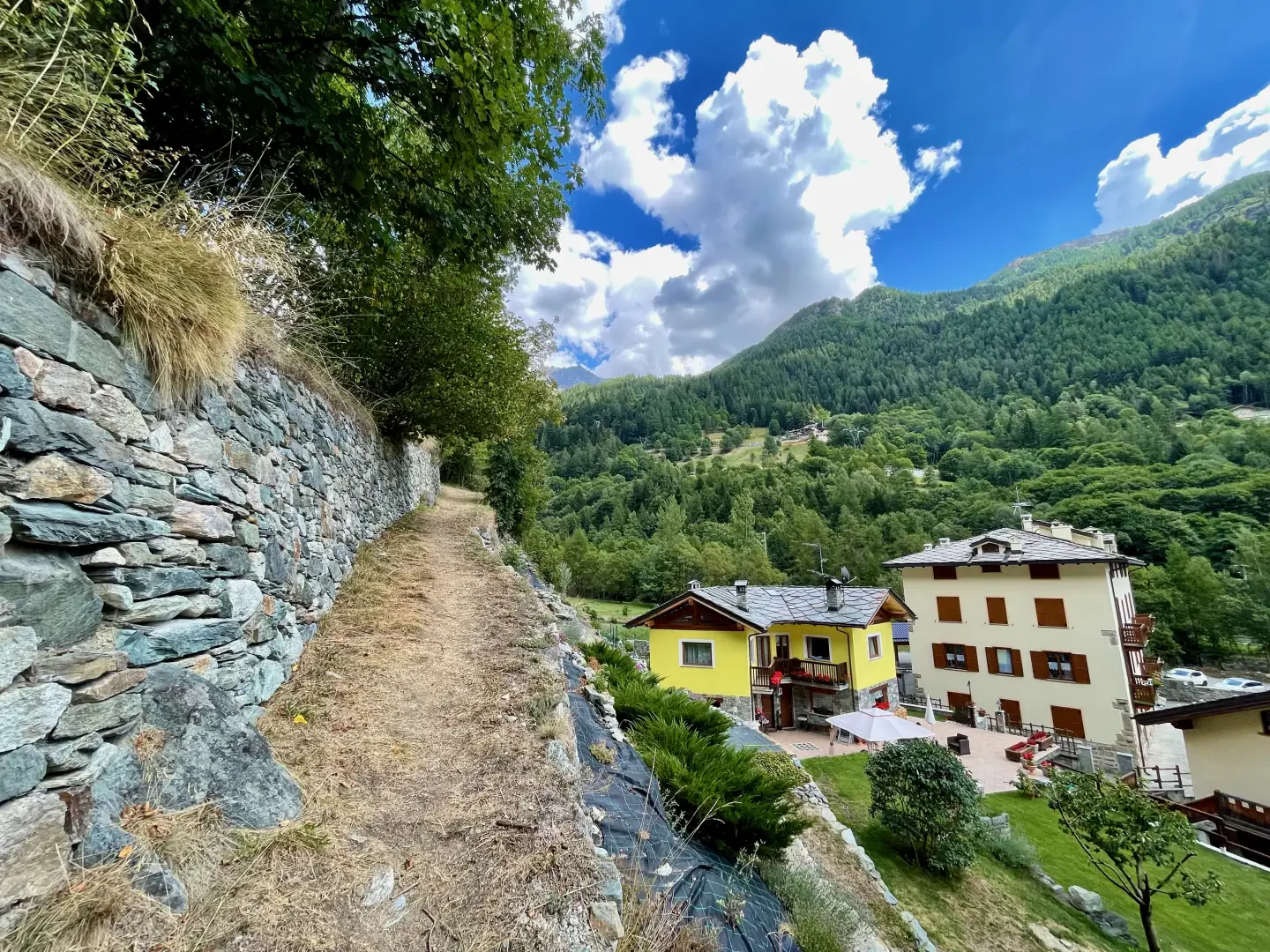
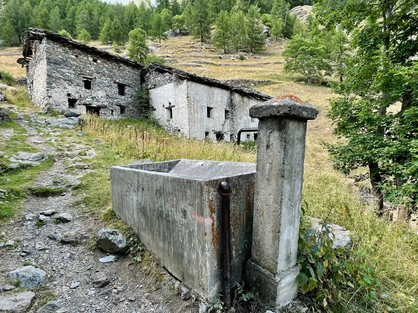
0h00' 0.00km From the car park, cross the regional road and take a small road that soon leads in front of the chapel dedicated to St Barbara. Go round the chapel and continue along the wide path , bordered by a fine dry stone wall, which climbs the slope leaving the roofs of the last houses of Maen on the right. Near a small clearing, the path flattens out slightly and makes a wide bend to the left, crossing a wooded strip. Next, it passes through a terraced pastureland and reaches the village of La Vénaz (1451m), preceded by a fountain 💧.
0h20' 0.56km Cross the hamlets of the village and resume the ascent with a short but steep section of path that soon leads to Fontanaz (1510m).
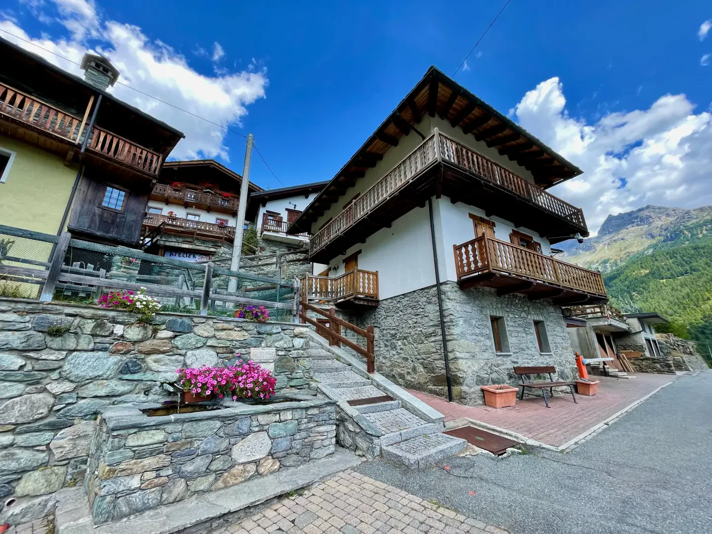
0h25' 0.73km Cross the small road and start climbing again between the houses, passing near the studio of Giangiuseppe Barmasse, one of the most important Aosta Valley artists, who won several awards at the Sant'Orso Fair. From here, the route re-enters the countryside, passing through sparse pastures and short woodland strips, until it reaches the junction with the path coming from Valmartin.
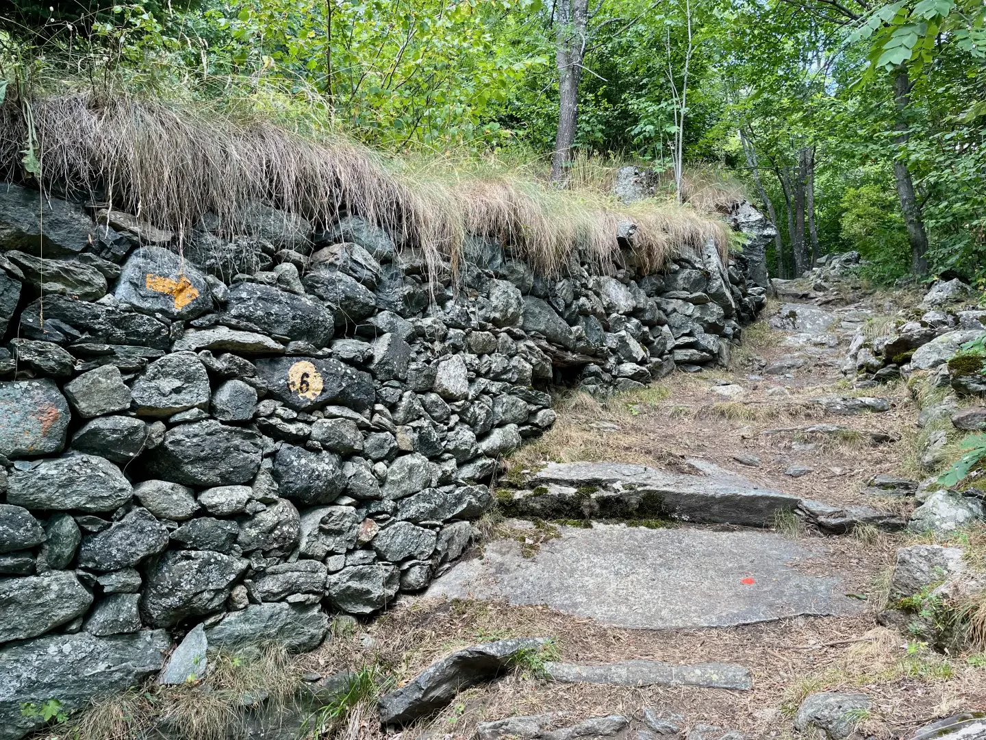
0h35' 0.88km Neglect the downhill path and continue for a short distance along the mule track, bordered by beautiful dry stone walls. The path enters the forest before reaching a new fork.
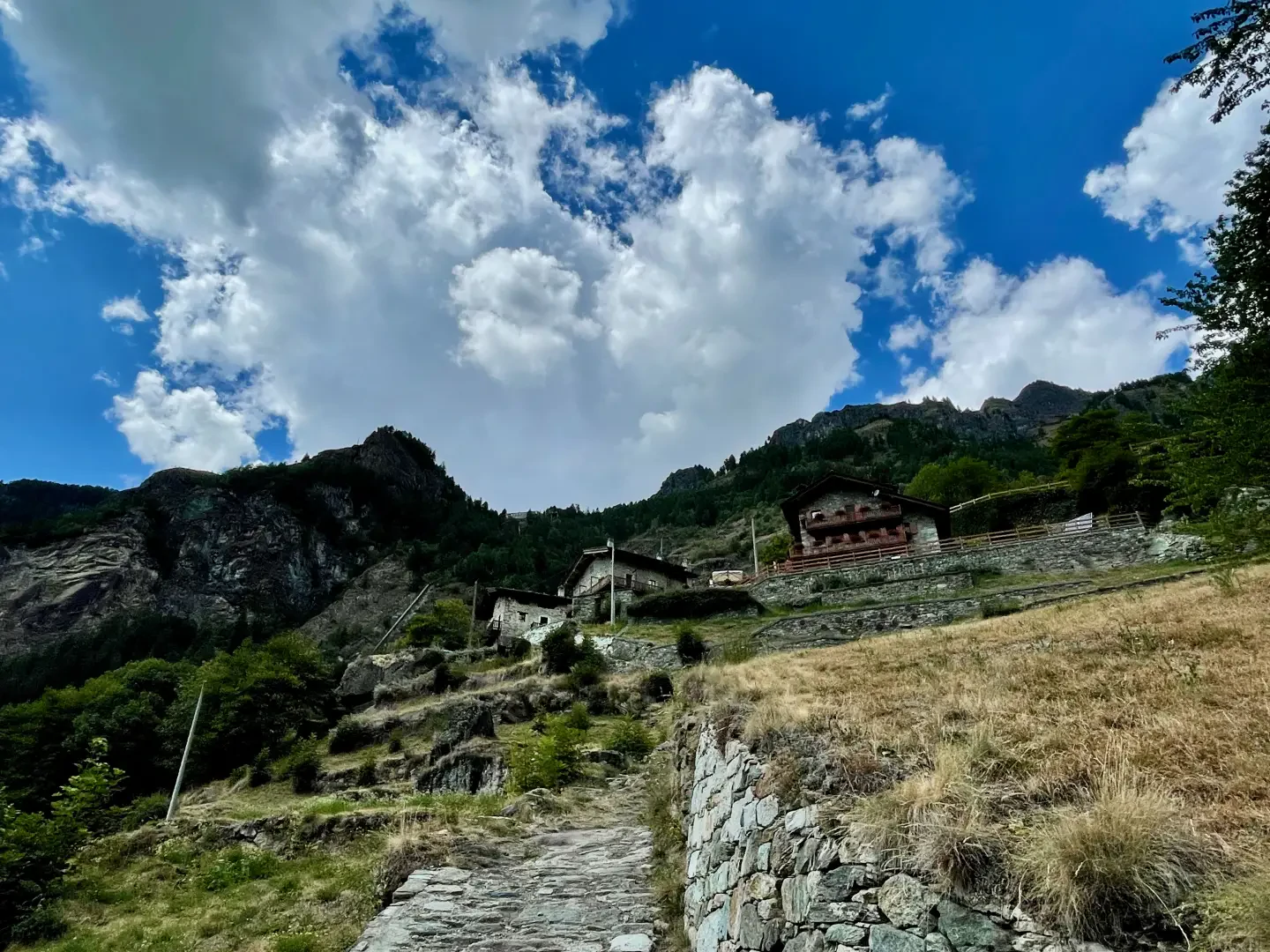
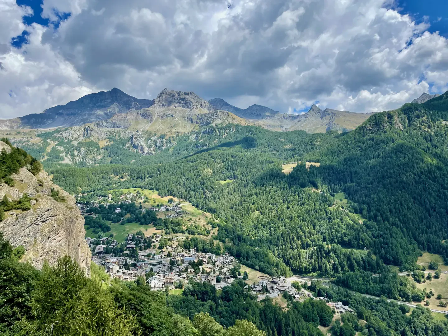
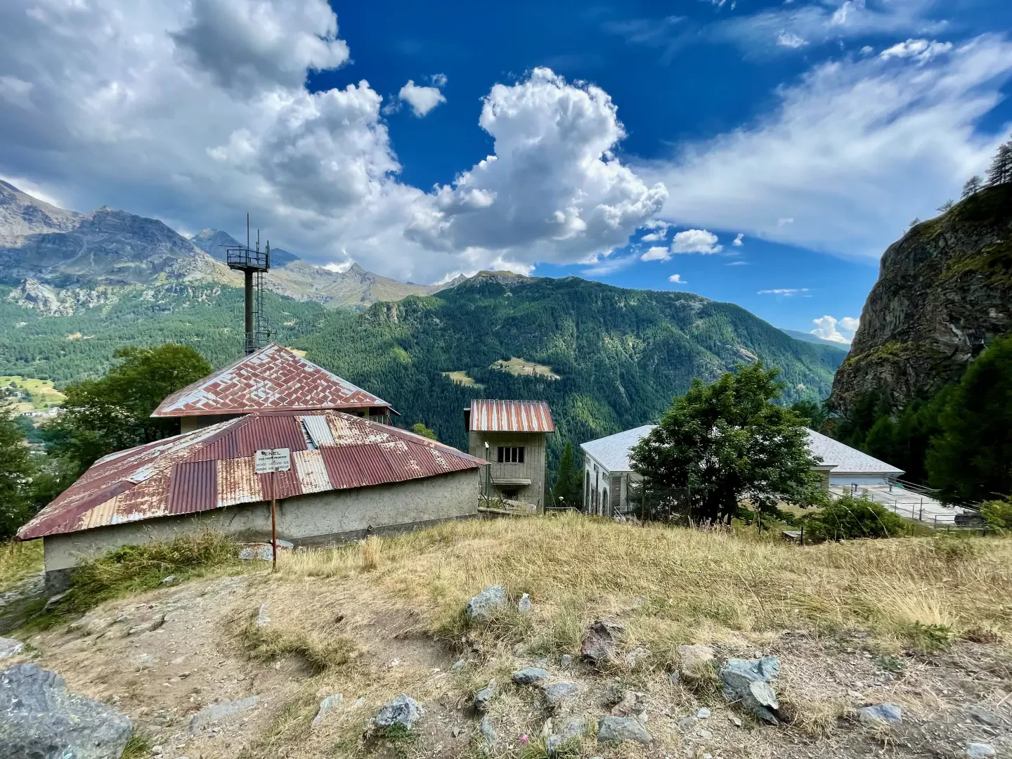
0h45' 1.18km Turn right and join Alta Via 1. The path, now wider, climbs up the wooded slope with a few long turns, then makes a long traverse to the left, offering splendid views of the main town of Valtournenche and the small lake of Maen. After crossing a new band of larch trees, you will reach Promoron (1,812m), where there is a building belonging to the Maen power station.
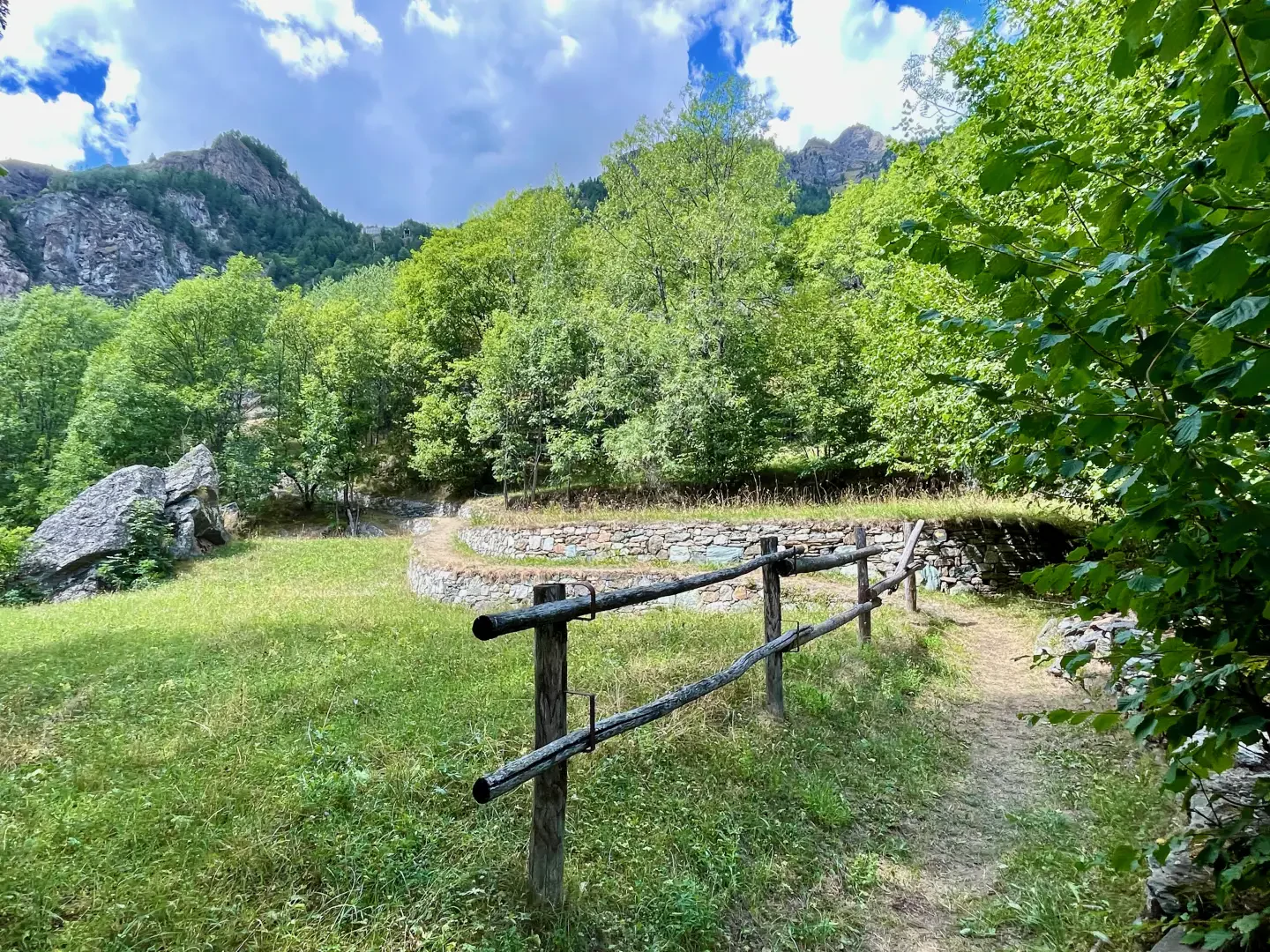
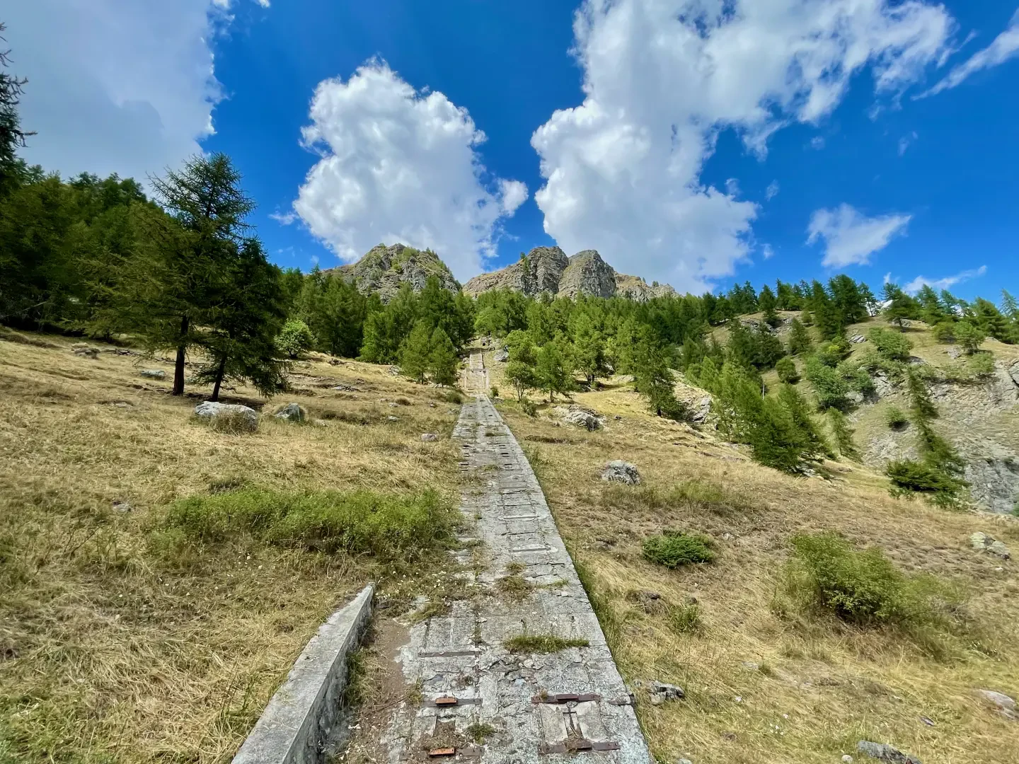
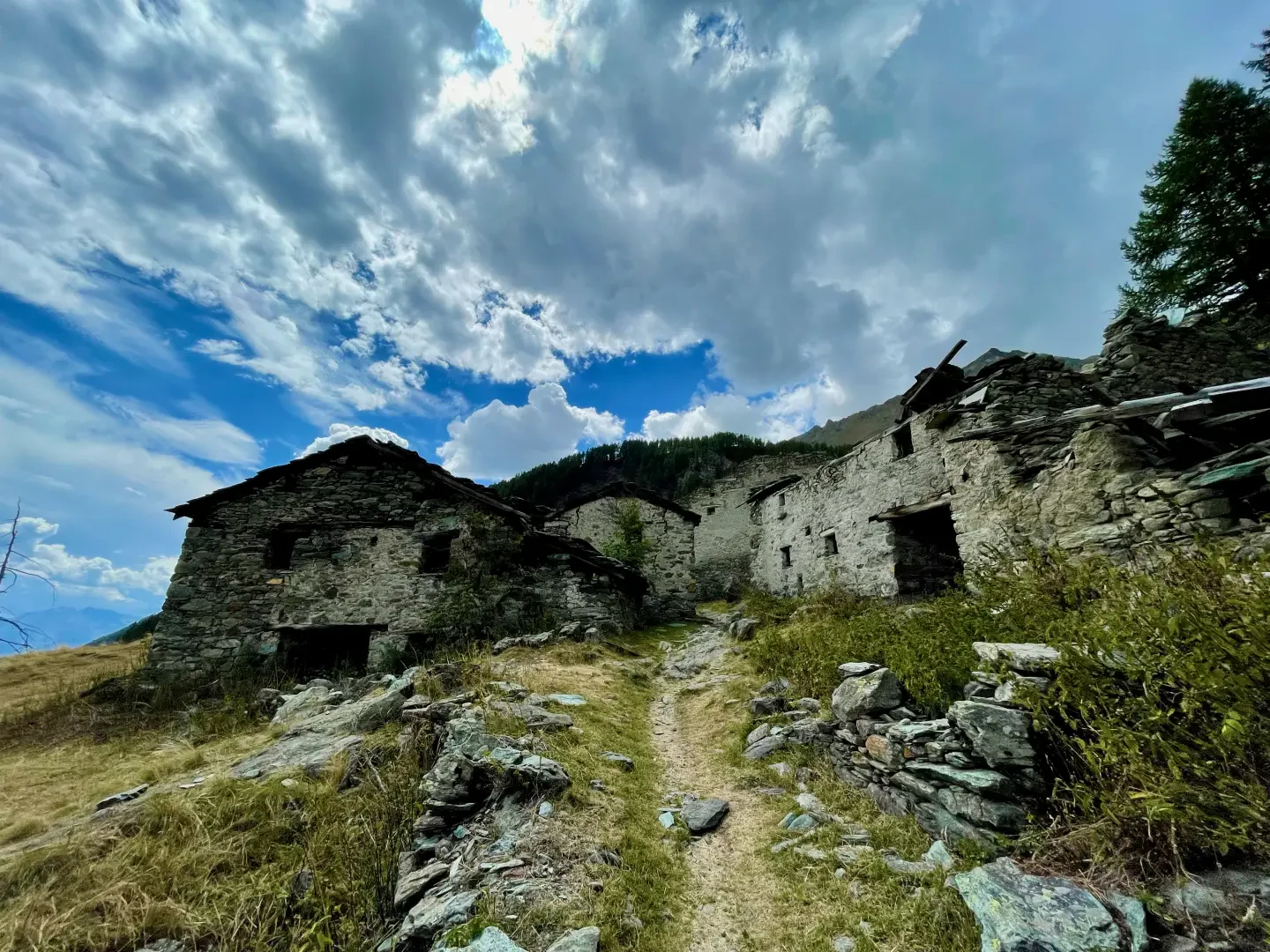
1h15' 1.93km Continue straight on, ignoring the path to the right for Perrères, and pass a waterless fountain and the ruins of Promoron. Veer slightly to the left, cross the penstocks via a footbridge and, with a diagonal in the same direction, reach the uninhabited village of Falegnon (1914m). Pass the small hamlet and head into the gorge of the Cignana stream, meeting a path on the left.
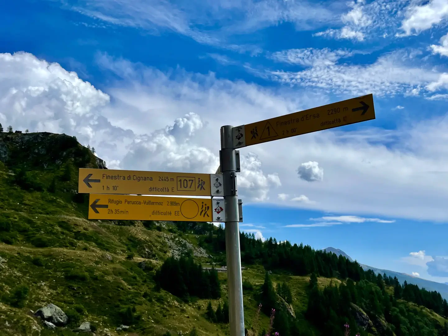
1h35' 2.45km Disregard the path to the left for Alpe Cortina and continue into the gorge, bypassing the south-eastern flank of Mont Pancherot. After a small clearing in front of the dam, climb rapidly up the right-hand side (orographic left) and turning slightly to the left now in view of the Cignana dam, you will reach the fork for the Perucca-Vuillermoz hut.
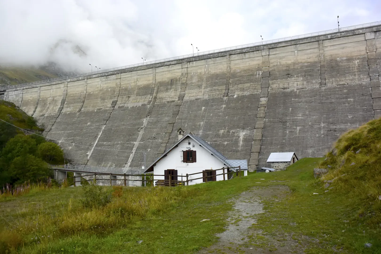
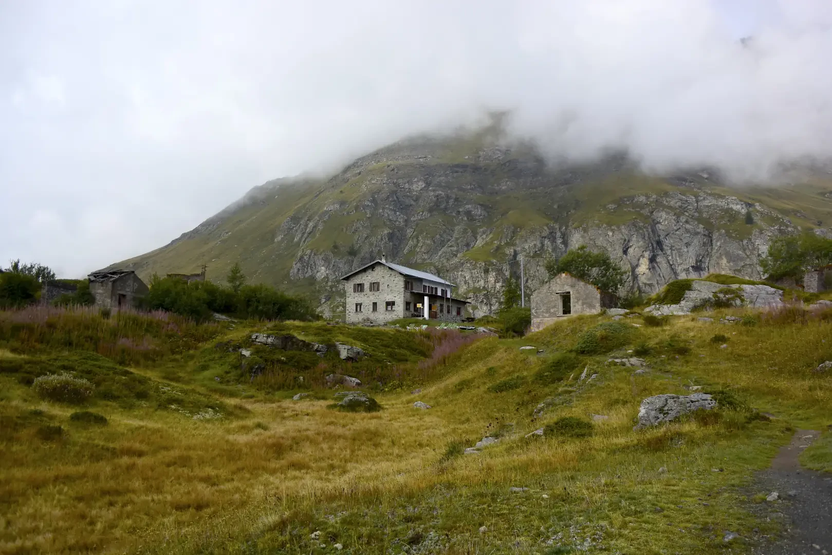
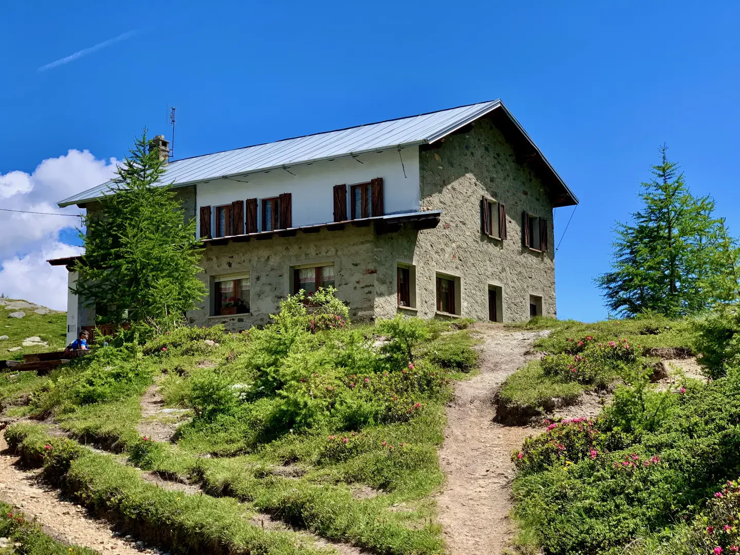
2h10' 3.51km Keep to the left until joining the dirt track that reaches the huts of the dam keeper, under the large concrete barrier. Pass over a small bridge and head to the orographic right of the stream where you will come across some ruins and, a little further on, the Barmasse hut (2175m), 2h25' 4.22km .
Points of interest
- Maen
- Maen's CVA power station
- Maen Chapel
- La Vénaz
- Valmartin
- Promoron
- Falegnon
- Lake Cignana
- Valtournenche
Collections
Riferimenti Bibliografici
- Rifugi e bivacchi della Valle d'Aosta - Martini Massimo e Zavatta Luca - Editrek & L'escursionista editore, 2012, Saint-Vincent e Rimini
Galleria fotografica