Raye Chévrère, from the Blanchet car park

Access
From the motorway junction at Verrès enter the roundabout and take the third exit and take the Strada Statale in the direction of Aosta.After 450m at the roundabout take the first exit and continue on the statale for a further 1.3km. Turn left onto the strada regionale with signs for Valle di Champdepraz - Parco del Mont Avic. Go up the for about 10km before meeting the panel with the signs for the resort's main car park: turn left following the signs for Blanchet and Fusse and, after about 200m, park your car in the convenient free car park 🅿️.
[0h22'] - [11.5km]
How to get there with GMaps
How to get there with Apple Maps
In the summer period, July/August, there is a shuttle service to Chevrère (Covarey).
These indications are based on direct verification carried out at the time of surveying the route so the information should be checked before setting off on the hike. We recommend using a GPS navigator or a map app on your smartphone to get up-to-date and detailed directions.
Introduction
A little-visited but certainly fascinating pass, which can be combined without too much effort with the ascent to the more famous [[Mont Avic]] peak. Raye Chévrère connects the Clavalité and Chalamy valleys, allowing for interesting, albeit long, circular itineraries.
Description
From the car park in front of Veulla (1300m) take the easy paved road, which after a short climb passes near the little church. After passing the village, continue along a level stretch until you reach a small bridge; the road veers to the left and, after a short climb, reaches the junction with the path to Praz Oursie and Mont Barbeston.
Disregard the diversions to the right and continue straight ahead on the road that enters the Regional Park of the Mont Avic (there are explanatory panels along the way); without any particular effort, you will reach a crossroads in the locality known as Magazzino (1461m, 0h30').
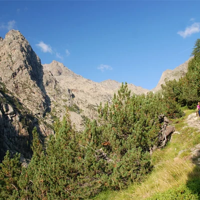
Follow the signs for the path to Lac Gelé and take the path that branches off to the right: head north-west up the forest of Scotch pine and a few fine examples of the hooked pine, an endemic species in the park. The path turns to the west, just before meeting a pair of wooden footbridges used to cross a small stream. After a short, almost flat stretch, we come to the Ru de Montjovet (another footbridge). From here on, you begin to climb more steadily: you pass a nice stretch of mule track at the foot of a steep rock face and, still in the forest, slowly enter the Vallone del Lago Gelato. The tall vegetation slowly fades away and we begin to see a few glimpses of the valley, the Bec de l'Espic and the route still to come. Still halfway up the slope under the rocky walls, one comes out of the forest
and, after another stretch of path under the walls, begins a series of bends that allow one to gain height. The path reaches a short col (normally preceded by a small snowfield at the beginning of the season): shortly afterwards, the mule track becomes decidedly spectacular, a true work of ingenuity built at the time of ore mining. Follow the mule track that crosses a small comba and, after a wide left turn, continues with a long diagonal that precedes a series of rapid turns that allow you to reach the area of the mines and, a little further on, Lac Gelé (2599m, 3h30').
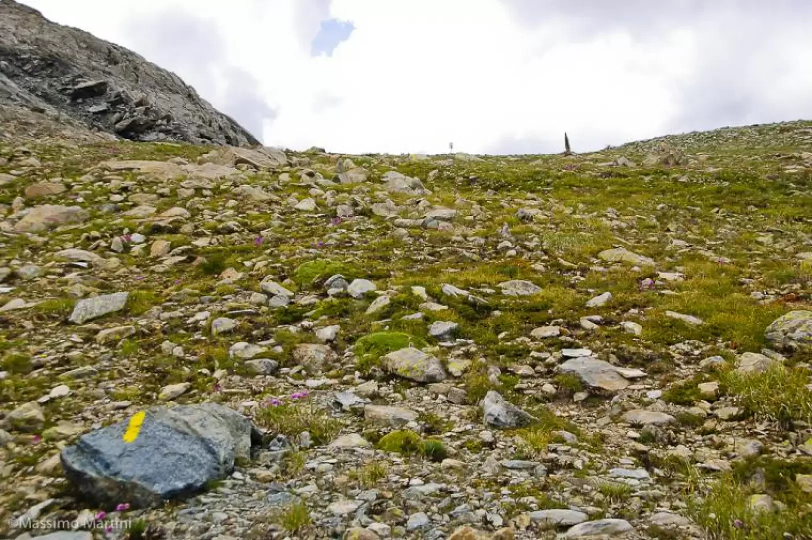
On reaching the lake, you will come to a fork in the road: continue to the right following the signpost (6A) for Col de Raye Chevrère. Climb up a promontory where you will come across a mine hut and continue northwards following the yellow marks between small rocks and tracks. Descend slightly by taking the north-west direction. A few snowfields can be found in this section, but the horizontal markings are well made and it is easy to keep to the line of the path. After a few ups and downs on stony ground, you briefly climb a wide valley that practically leads to the foot of the pass. You walk across the entire plateau before making the short ascent to the pass (2703m, 4h15').
The descent follows the same route as on the outward journey (2h45').

