Punta Valnera, from the Fenillettaz car park to the Vallon di Chamen

Edited by:
Alain Martini
Updated at: 04/05/2025
Access
Leaving the motorway at the Verrès exit, enter the roundabout and take the second exit. Proceed in the direction of the town centre and, after 300m, turn left onto the regional road for Val d'Ayas. Follow the regional road for 16.5 kilometres, passing the villages of Challand-Saint-Victor and Challand-Saint-Anselme before reaching Brusson. Pass the village and, just before the junction for Col de Joux, turn right to take the communal road to Estoul. Continue on the communal road for about 7 kilometres, passing the village of Estoul before meeting a large car park 🅿️ where you can leave your car.
How to get there with GMaps
How to get there with Apple Maps
Introduction
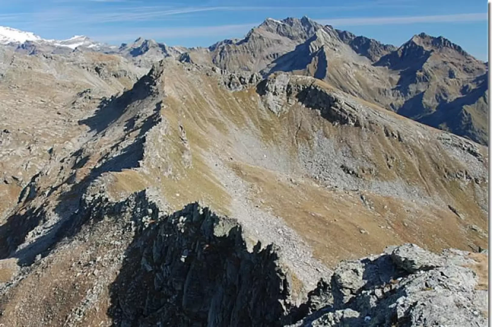
Walk halfway up the slopes of Mont Bieteron (2764 m), climb up the Estoul valley to the lakes of the same name and then choose whether to ascend to the Bocchetta di Eclou, trail or take the challenging route, trail ) that leads up to the Valnera peak.
Description
Leaving the car at the car park located 300m. after the hamlet of Estoul, proceed on foot along the dirt track until you come to a path on the right that climbs into the forest. Great care must be taken not to miss it, for at this point there is still the old green and barely visible signpost with the number
indicating the direction of the lakes. Once on the path, the
and
signs will be visible along the route, coupled to indicate the way to the lakes. At about 2000 m, the path becomes steeper and the trees begin to thin out; after a short time, you leave the forest and the flies that you have accumulated in the meantime (a hat is recommended!) to reach a hollow. Here, particular care must be taken to ascend in a straight line along the gorge (keep the stream bed on the left as a reference) without allowing yourself to be diverted by a flatter path that branches off to the right. You will then reach the second basin where you will go around a marsh following the path. GSM mobile phone coverage ends here. You then ascend the meadows leading to the plateau that serves as a prelude to the lakes. After a short distance, walk along the stony bed of the stream that serves as an estuary to the lakes to reach the first of the Estoul lakes. Proceeding to the left we immediately reach the largest lake.
At the first lake we find a stone where itineraries
to punta Valnera and
to Bocchetta di Eclou are signposted. Proceeding to the left, proceed along itinerary
, which, after passing the lakes, climbs the stony and steep section that leads to punta Valnera(2752m). The stony path is particularly dangerous, especially on wet or rainy days, so it is only recommended for experienced hikers.