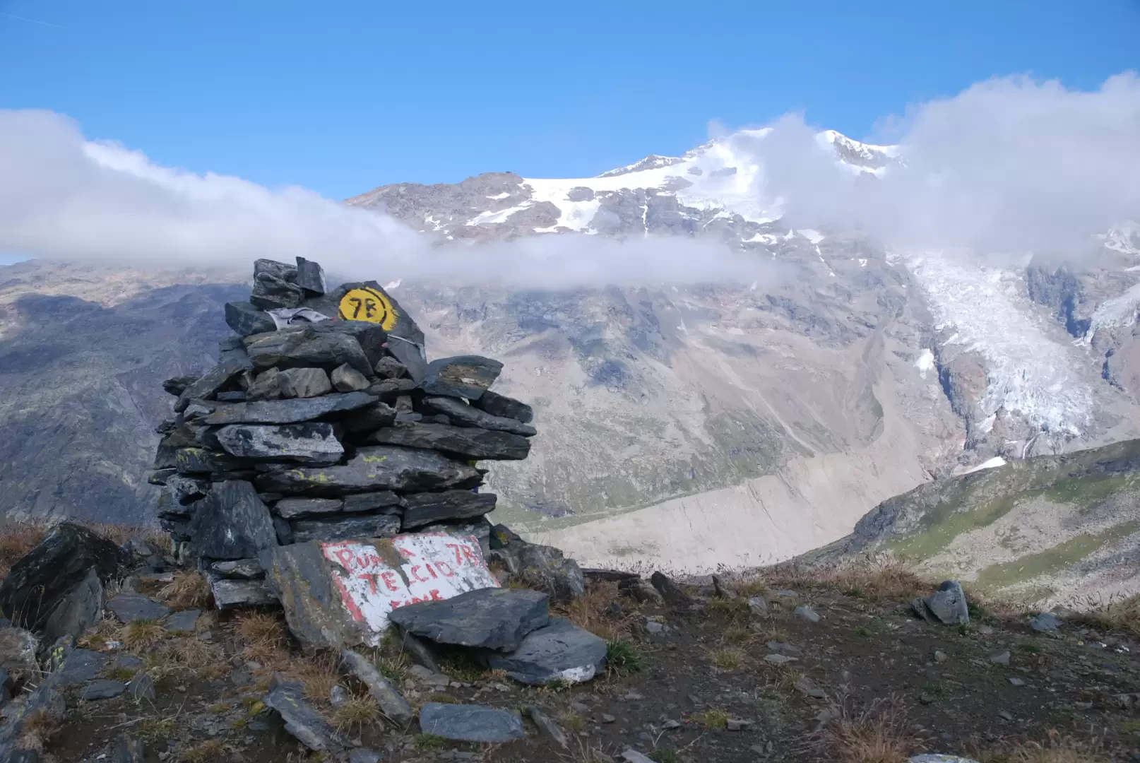
Punta Telcio, from Stafal

Edited by:
Massimo Martini
Updated at: 03/04/2025
Access
Lasciare l'autostrada a Pont-Saint-Martin dopo 100 m si svolta a destra, si supera un semaforo e si prosegue per circa 600 m fino al bivio per Gressoney. Si entra in Pont-Saint-Martin e dopo 1.2 km si svolta a destra imboccando la strada regionale per la valle di Gressoney. Dopo 38.4 chilometri si supera Gressoney-La-Trinité e si raggiunge l'abitato di Staffal (Tschaval): davanti alle funivie del Gabiet si incontra un ampio parcheggio dove lasciare comodamente l'auto.
Distanza e tempo di percorrenza
🕒 Tempo di percorrenza: 58 minuti
📏 Distanza: 38,4 km
Navigazione GPS
📍 Come arrivare con Google Maps
📍 Come arrivare con Apple Maps
ℹ️ Nota importante
Le indicazioni fornite sono state verificate alla data del rilievo dell’itinerario. Prima della partenza, è consigliabile verificare eventuali variazioni del percorso. Per ottenere indicazioni aggiornate e dettagliate, si consiglia l’uso di Google Maps o Apple Maps.
Description
- The route begins gently, crossing forests and alpine meadows. The first part is relatively straightforward, with a moderate incline.
- After an initial wooded section, you reach the alpine pastures where the view opens up, offering suggestive panoramas of the surrounding mountains.
- The path becomes steeper and steeper as you approach the upper part of the route. At an altitude of around 2,400 metres, you begin to encounter rocky sections and more technical terrain.
- The last section towards Punta Telcio requires attention, especially in conditions of poor visibility or in the presence of residual snow. The path may be exposed at some points.
- The summit, at around 2,815 metres, offers an exceptional panorama of the surrounding peaks, including glimpses of Monte Rosa and the Aosta Valley Alps.
Return: The return follows the same route as the outward journey. The technical downhill terrain requires particular attention, especially on the steeper and rockier sections.