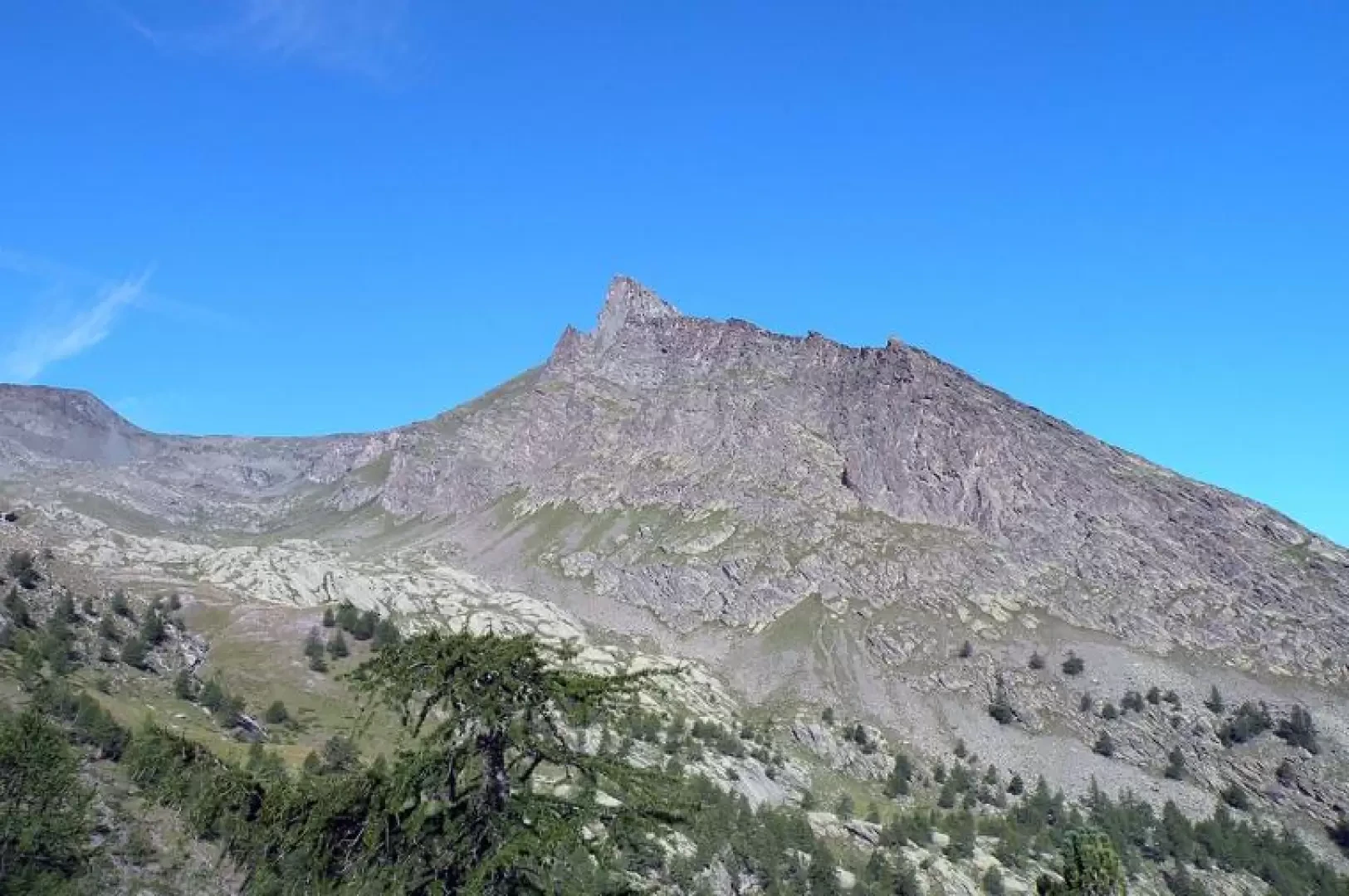
Point Pousset, from Cretaz
Introduction
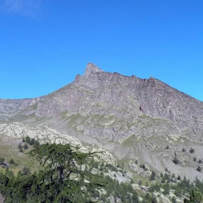
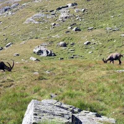
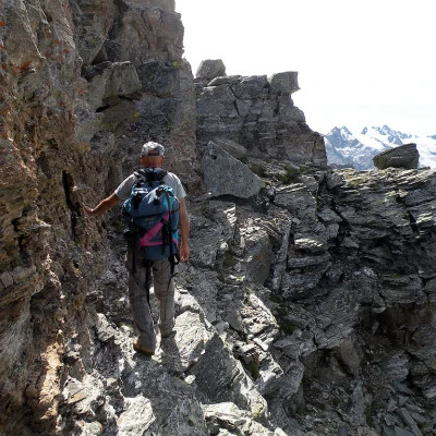
A long hike with a considerable difference in altitude, which takes place in an area of the Gran Paradiso National Park that is one of the most renowned for its environments and wildlife sightings (chamois sightings are already possible in the woods just above Crétaz, not to mention the ibex in the Pousset valley). The ascent can be divided into three sections: the first, easy, up to the crossroads at about 2700m; the second, exposed, from the crossroads to the col that precedes the ridge; and the third, very exposed, that from the col goes up the ridge. If necessary, for those who are not very familiar with the exposures of the ridge, the use of a piece of rope is recommended.
Description
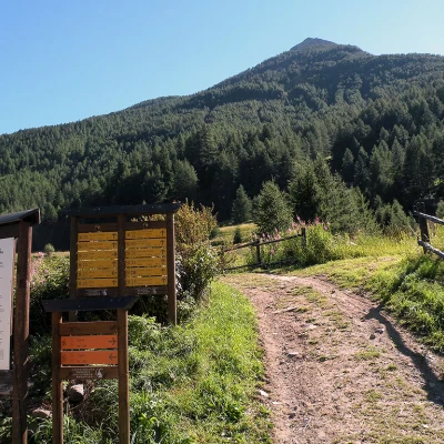
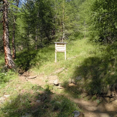
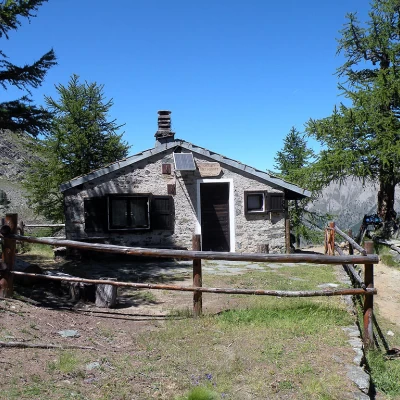
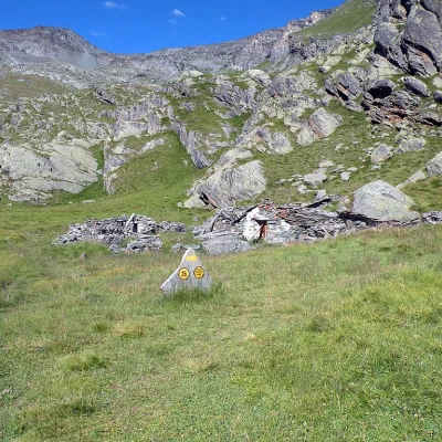
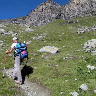
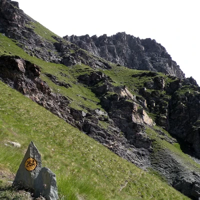
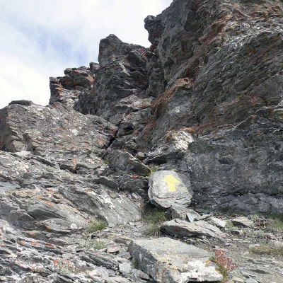
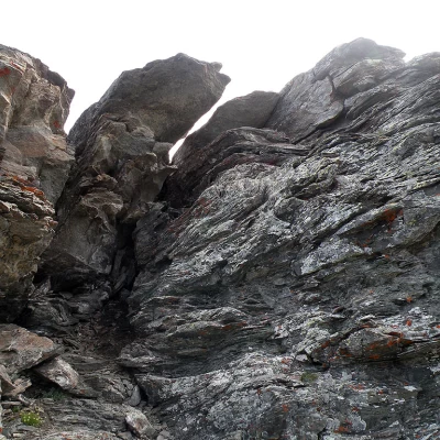
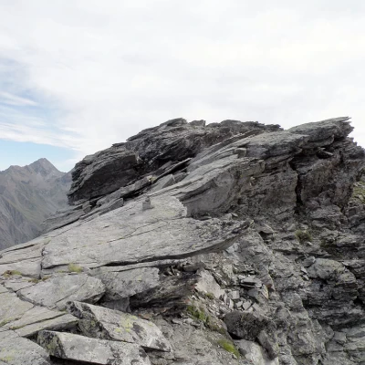
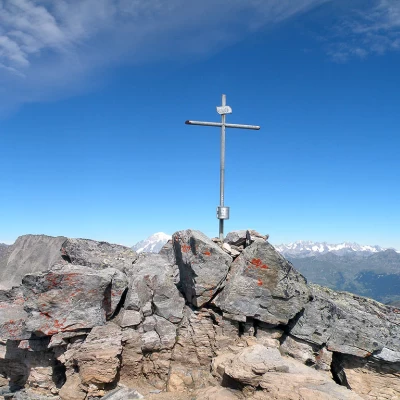
From the car park, we cross the Grand Eyvia stream on the bridge and head towards a large tourist board with several signposts next to it, from where we begin the ascent, first across a short pasture and then into a beautiful coniferous forest where we soon cross a stream. The slope, which is immediately steep, allows us to quickly gain altitude as we pass by the Ronc huts (1663m) and, with an excellent track, continues fairly steeply with wide hairpin bends until we reach Les Ors desot and, after a few minutes, the scenic Les Ors dessus mountain pasture (1944m), which is located at the beginning of the pastures of a wide valley. Continue the ascent on the right side of the valley (orographic left) and ascend in comfortable hairpin bends to climb up its flank where you will come across a marker indicating, on the right, the path leading to Pousset. After a few hairpin bends, in which the slope remains steep, the forest becomes more sparse and we arrive at the panoramic Pousset P.N.G.P. hut (2289m) right on the watershed between this valley and the one that ends at the colle della Rossa. Pass to the right of the hut and descend for a few tens of metres to reach the centre of the valley, which is climbed without excessive gradient on an easy path, passing, after crossing the stream, beside a wooden cross and arriving at the plateau where the Pousset dessus alpine pasture (2516m) stands. The signpost, a marker on a stone, tells us to continue to the right, climbing now more steeply with well-marked hairpin bends towards the upper part of the mountainside, where it is possible to see many ibexes, until we reach a well-marked junction (approx. 2700m) where to the right we continue to the Gratton bivouac while to the right we climb towards the Punta Pousset. The path now climbs up the slope halfway up to bypass a grassy ridge and then, increasing in gradient and exposure, with a few zig-zags it gains height before crossing decisively to the right and arriving at the small col that precedes the short ascent to the rocky ridge. One immediately ascends a short and easy chimney, indicated by a yellow arrow, after which one moves a little to the right to arrive above a protruding slab and continue on sloping rocks after which one descends a little to a small notch. Climb a few small rocks and then continue along a ledge and, climbing a few more rocky steps to the left, you reach the panoramic summit cross. The 360° panorama is truly splendid over the Alpine arc and especially towards the nearby peaks of the Gran Paradiso group.
