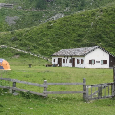
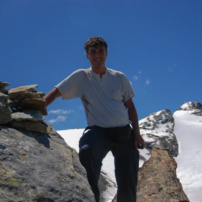
Punta Percià, from Bruil
Access
Leave the motorway and, after 450m, leave the motorway junction turning right onto the regional road for the Cogne valley. After 400m at the roundabout, take the second exit to join the main road to be followed for about 5.7km, passing through the village of Saint-Pierre and skirting the village of Villeneuve before turning right onto the regional road of Valsavarenche, which soon passes the village of Introd and, after 4.7km, splits: follow the signs for the regional road of Rhêmes. Drive up the valley for 15 kilometres, passing Rhêmes-Saint-Georges and finally arriving at Bruil, capital of the municipality of Rhêmes-Notre-Dame: here you can leave your car in the car park in front of the town hall or, when there is a lot of traffic, in the car park on the right before the village.
How to get there with GMaps
How to get there with Apple Maps
Introduction
Valle d'Aosta, beyond the path! Quoting the title of a reference work for advanced hiking on the peaks of the Aosta Valley by Pietro and Matteo Giglio, much can be said about this hike: the components are many, the environments traversed as well, and the views at the end are stupendous. What can be added? Nothing, except that to achieve these pleasant sensations you have to overcome 1500 m of altitude difference!
.Description
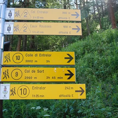
0h00' Leave your car in the little square in front of the Town Hall and you will immediately come across the signposts indicating the main routes starting from Bruil. Follow the signs for the Alta Via and the footpath
as you proceed towards the town hall, then turn right onto a small road that crosses the hamlet, fountain on the right 💧. Pass through the village with its characteristic houses and, after a second fountain 💧, cross the Dora di Rhêmes just in front of the Gran Paradiso National Park Gamekeeper's Hut.
0h05' In front of the Hut, you will again come across signposts directing hikers to the paths on the orographic right-hand side of the valley. Take the wide path that begins to climb the slope between imposing larches. After a hundred or so metres, you come to the farm road to the Pré de Bois alpine meadow, which you follow for a short distance before rejoining the path. Climb up the slope at the edge of the forest, making a wide bend to the right until reaching the Pré de Bois pasture (1787m).
0h15' The path enters the larch forest, with a series of short bends quickly gaining height until reaching the crossroads for the Vallon de Sort, which should be left behind.
0h20'Follow the path to the right along the calm waters of the ru, passing under the rocky spur of the Château Quelet, until you come to an obvious signpost indicating that you should resume the ascent.
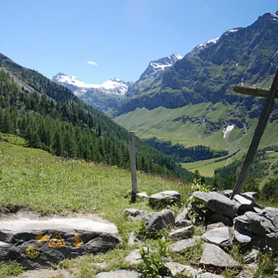
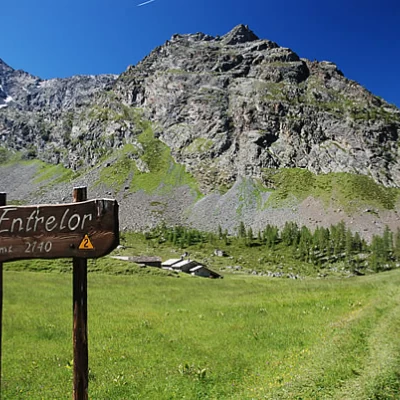
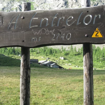
0h25'Climb the slope at first with greater intensity and then with a series of bends, quickly overcoming the section of the hike with the greatest difference in altitude before coming out of the forest into the beautiful clearing of the Comba di Entrelor. We come to a wooden cross (2104m), an excellent "lookout" over the mid-to-high Val di Rhêmes, from which there is a fine view of the watershed peaks with the Valgrisenche, from the Granta Parei to the Becca Laugier and, above all, we begin to appreciate the rugged environment of the Entrelor valley, catching sight of the pass of the same name in the distance.
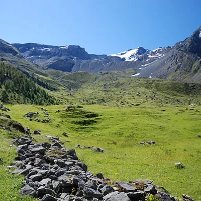
0h55' Continue now under the open sky among the pleasant pastures of the basin, following the obvious path that sinuously traces out pleasant curves. At the height of an erratic boulder, you will come across a small post indicating the hut at 5 minutes' walk.
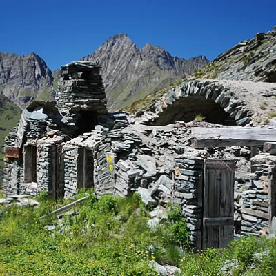
1h00' Neglect the diversions to the hut and continue along the valley going up a short height difference along the valley called "Pian delle marmotte", crossing a very short strip of young larches near the little stream. You slowly begin to climb up to the grassy slope: here you begin to gnaw metres with a series of twists and turns on the impeccable Alta Via path. Amidst the whistles of the marmots, present in large numbers, we reach the ruined mountain pasture of Plan di Feye (2,382m) and the junction with path
for the Tête d'Entrelor.
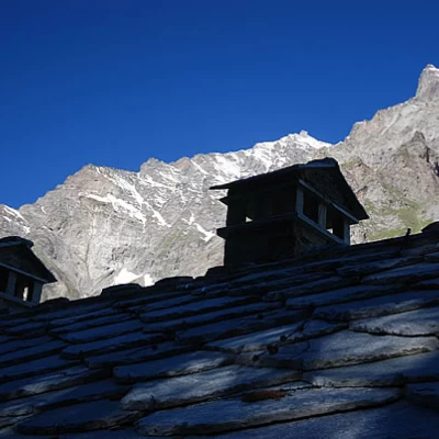
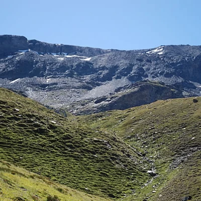
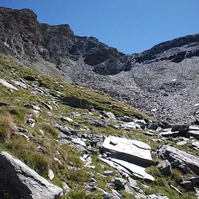
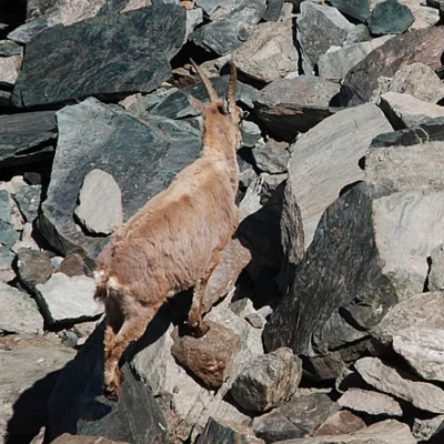
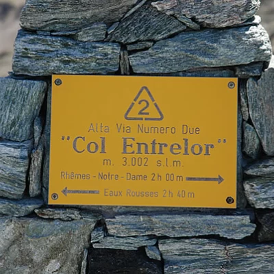
1h45' We neglect the diversions to the left and, after appreciating the architectural peculiarities of the mountain pastures (barns with vaulted arches, alas partially collapsed), we resume the ascent towards the pass. After an initial stretch of path, which cuts diagonally across the grassy slope, we start to climb again with the usual twists and turns, slowly entering a rocky cirque that, at first glance, seems to have no way out. We reach a spring (at an altitude of 2581m, to the right below the path), the last water supply point 💧. Now the environment changes considerably, the prairie gives way to scree and boulder scree and it is not unlikely to encounter ibexes watching the weary hiker from above. The ascent becomes tougher, the path slightly rougher, and you climb up a steep notch on the left, above which the path reduces its inclination with a short diagonal to the right until it reaches below the pass, which is now visible. One last little effort and you reach the Col d'Entrelor (3007m, 3h00').
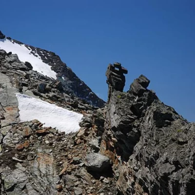
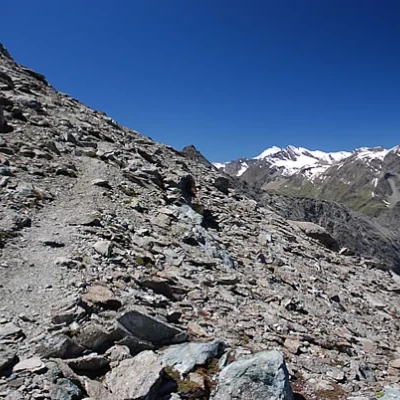
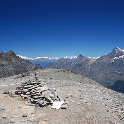
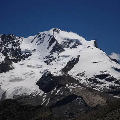
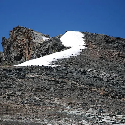
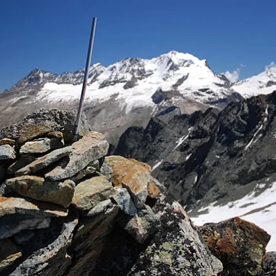
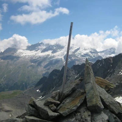
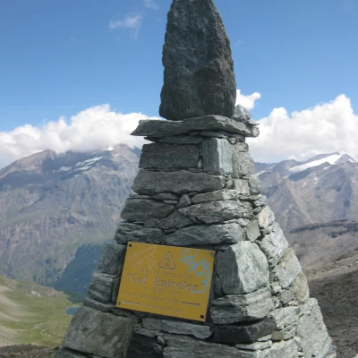
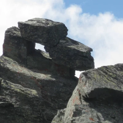
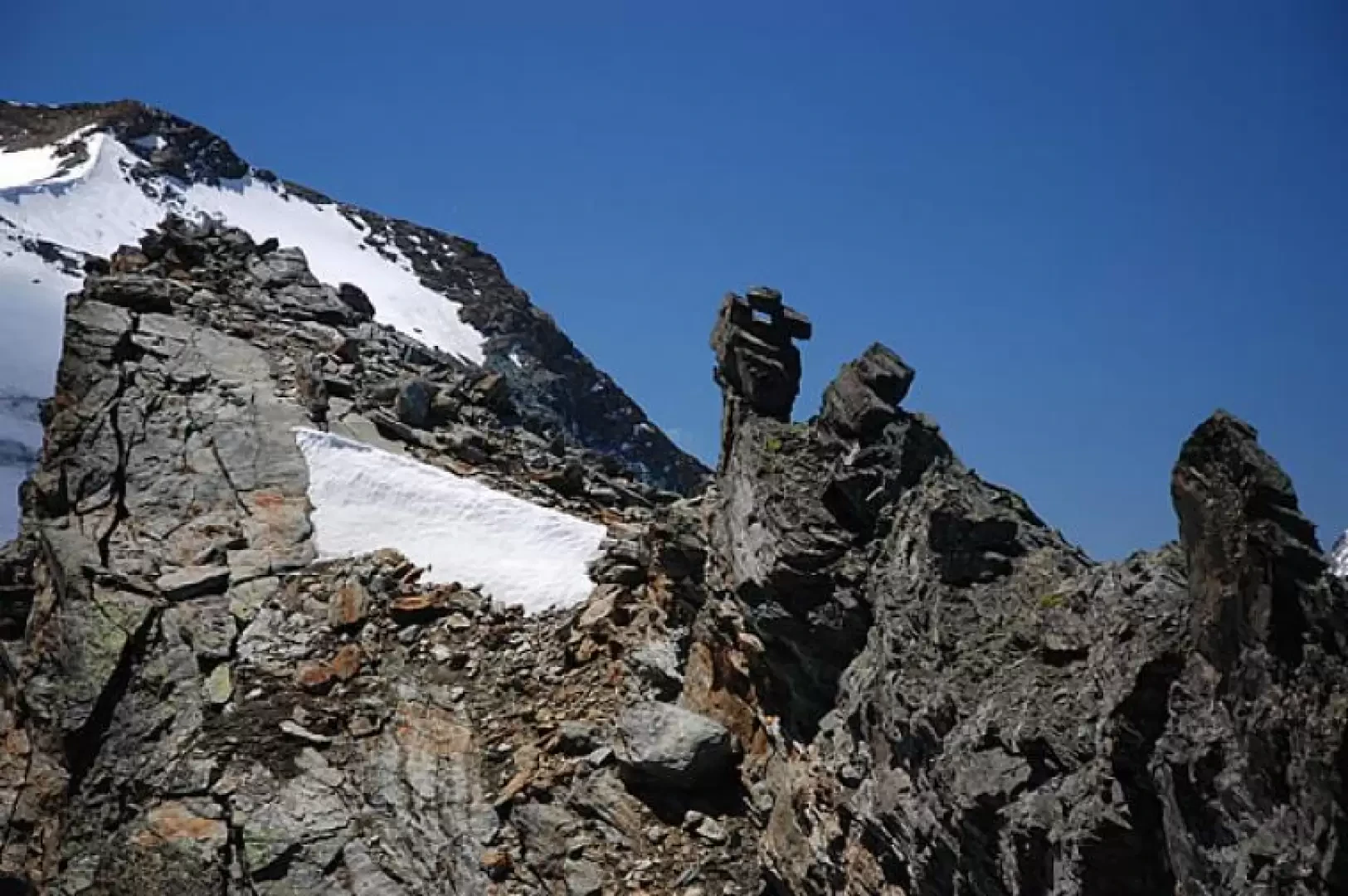
From the pass, proceed to the right until you reach the old boundary stone that marked the pass in the past; here, go around a large boulder and, to your right, you will find the traces of a path that is still fairly evident. We ascend the scree ridge as spectacular views open up around us. We reach Punta Percià nord (3212m, 3h25'): it is worth pausing for a moment to fully enjoy the Gran Paradiso and its two classic ascent routes. We now proceed without a trace, marching along a wide ridge bordered by snowfields. Once past the wide depression, start climbing slightly to the right, following the 'edge' of the ridge. When you reach the summit of this ridge, you can catch a good glimpse of the south summit: descend to a small notch and from here begin the most delicate part of the hike. Climb up the edge of the ridge made up of daring gendarmes, always to be circumvented on the western slope (that of Rhêmes). Go past a last drilled gendarme (probably the reason for the toponym of the peak) and ascend among detritus, a little unstable, the last stretch up to the summit composed of a rudimentary cairn with an iron bar attached (formerly a pole of a snowshoe, ed.). The Punta Percià sud (3227m, 3h45') is extremely suggestive and panoramic: truly a taste of hiking "beyond the path".
Galleria fotografica
We have been there
Punta Percià
visti alcuni branchi di stambecchi femmine con cuccioli di quest'anno ed alcune marmotte.salita in 2,10 e scesa in 1,45. ho incontrato una persona che scendeva dalla vetta della percia mentre io salivo( con mio grande stupore in quanto normalmente io parto abbastanza presto) : ho scoperto essere il sindaco di valsavarenche che ha fatto la traversata fino a rhemes. sentiero sempre ottimo, un po' di attenzione alla caduta di pietre occorre prestarla nell'ultimo tratto che sale al colle, dove il sentiero passa sotto una parete/cresta rocciosa. le baite in corrispondenza del bivio per la testa di entrelor mi sono sembrate rovinate da una valanga/frana scesa da un canale posto un po' sopra le stesse.all'incirca in corrispondenza c'era anche la carcassa di un animale.Punta Percià
traversata Rhemes Notre Dame - Eaux Rousses
