Punta Martin, from Giutte (path C4)
Introduction
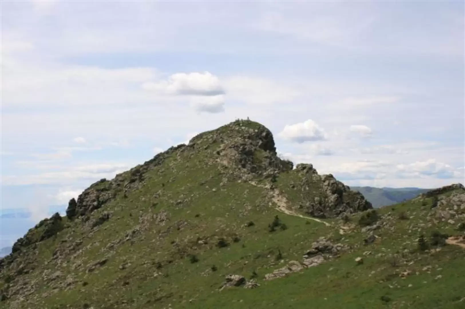
A very beautiful and varied excursion that leads to a summit much loved by the Genoese, but with a route that is little known and lonely and therefore all the more interesting.
Description
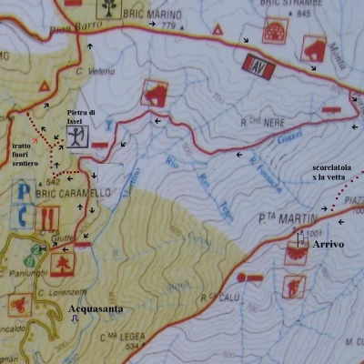
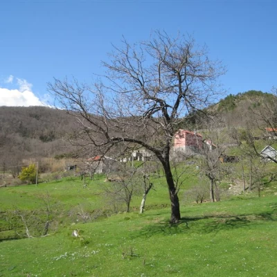
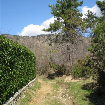
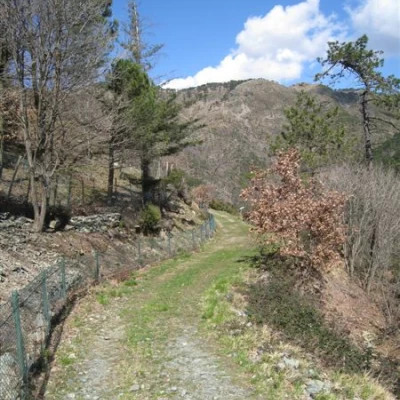
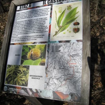
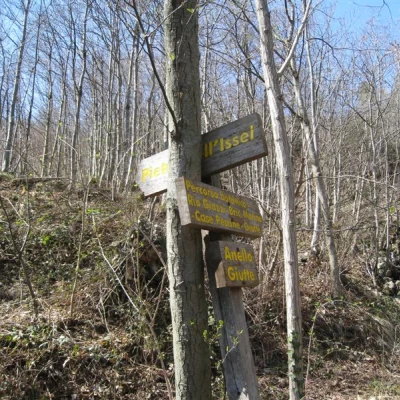
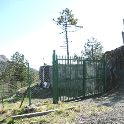
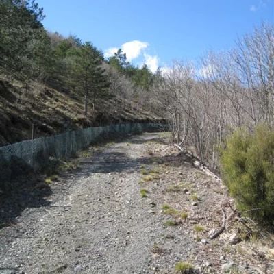
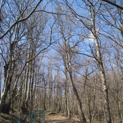
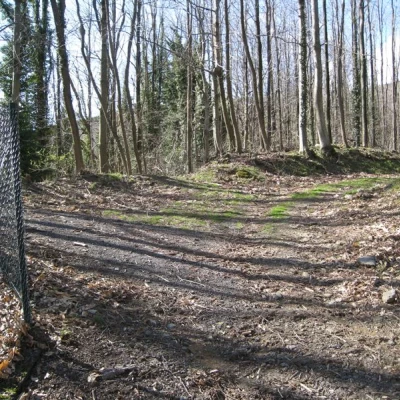
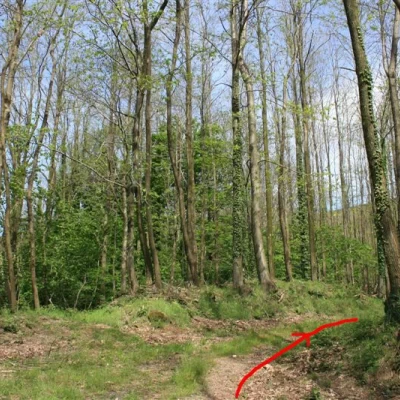
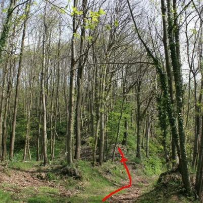
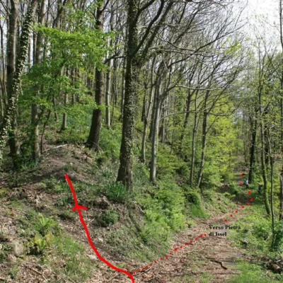
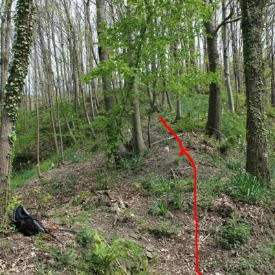
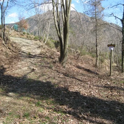
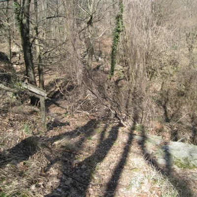
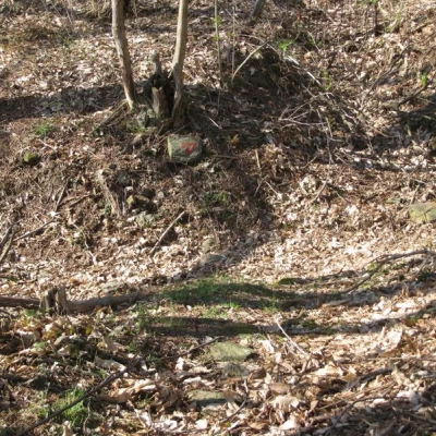
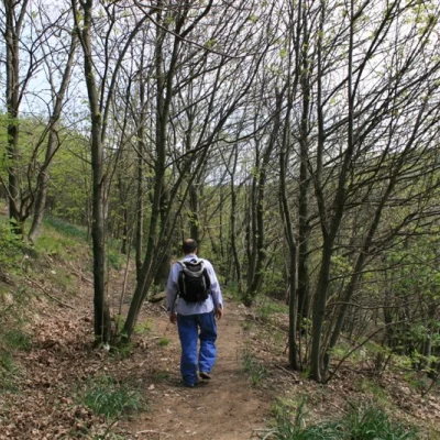
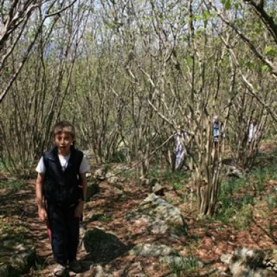
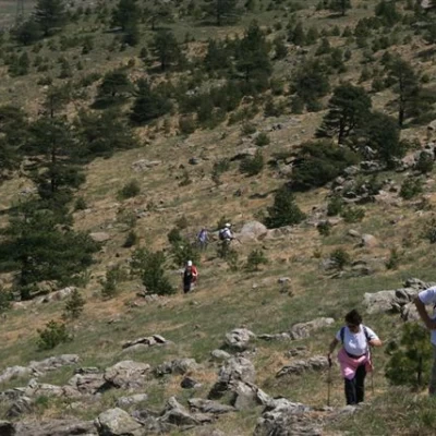
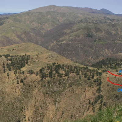
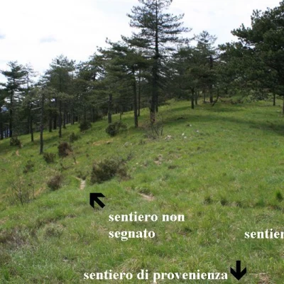
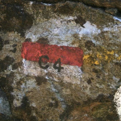
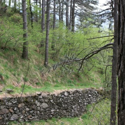
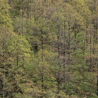
Path: from Giutte, at the panel, follow path C4 alongside a fence. Continue to station 6, a few metres and you will come to a sign leaning against a tree indicating the Issel Stone. You then go straight ahead (abandoning the C4, which will be the way back), on a barely visible track that bends to the left to a gate. You make a sharp bend to the right and a dirt track begins which runs alongside a fence. You climb for a while until it flattens out and continue to the right. Here (see photo) you then climb up the wooded shoulder as soon as you come to it (a few metres), climbing to the left between the trees and without a proper path. With a little bit of intuition, always keeping to the left, you will soon 'find' the crossroads with the empty red triangle...
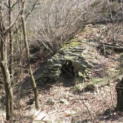
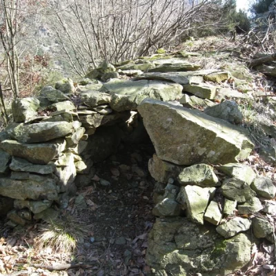
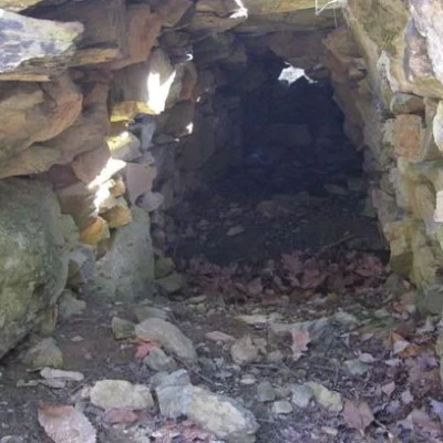
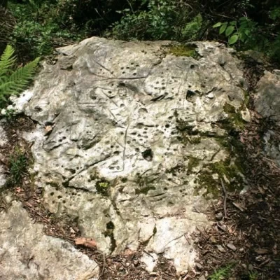
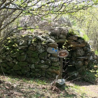
Having some interest, before climbing up the wooded shoulder, you quickly continue on the wide flat path and, at a new signpost of the Issel Stone, descend and keep to the left. After a small scree slope, one notices a shelter of stones at the bottom and a little further on a panel with a lectern at the foot of which is the Pietra.
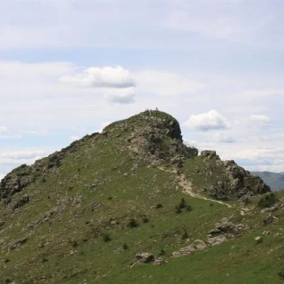
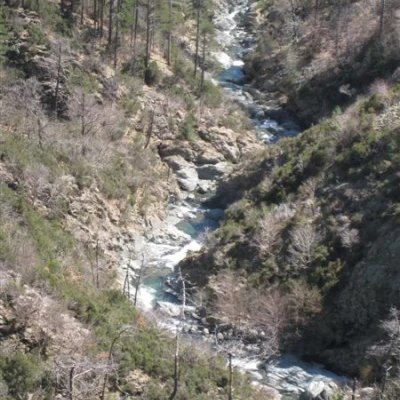
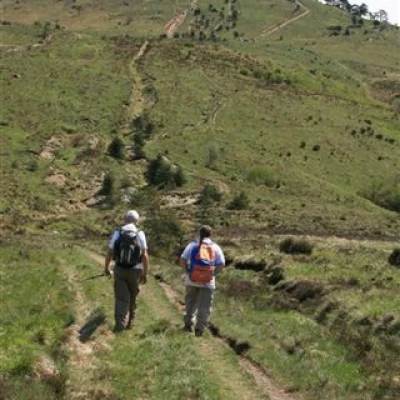
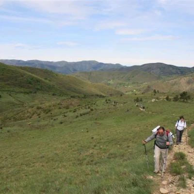
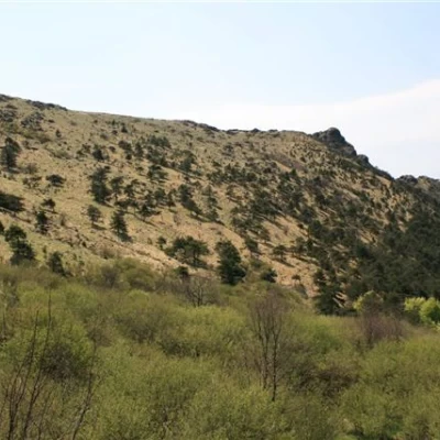
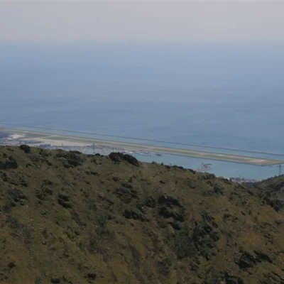
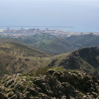
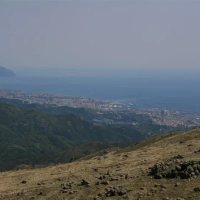
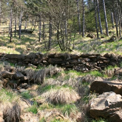
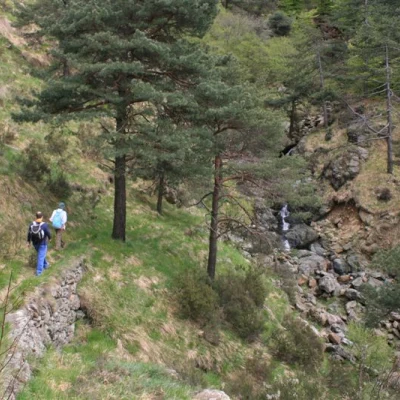
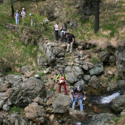
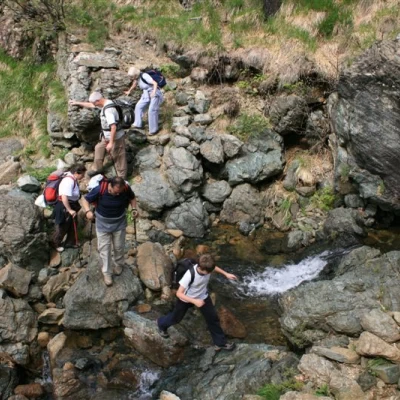
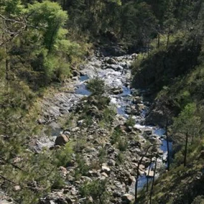
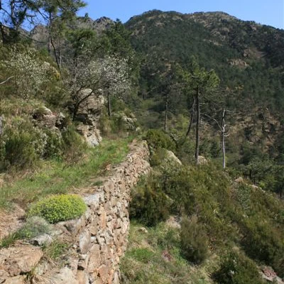
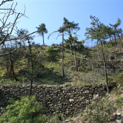
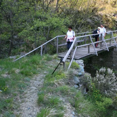
Digression aside, once on the empty red triangle one ascends again towards the Veleno pass, where one meets the Alta Via dei Monti Liguri, which one follows to the right. The path becomes steep and crosses the little path that will need to be taken on the return journey (with a badly marked C4 sign). For the moment, do not consider it and proceed, meeting shortly afterwards a spring and, between the trees, a stone box. One comes out of the forest and the path climbs up. Here, if you wish, you leave the Av (which makes a long arc) and carefully cut across meadows, with no obligatory path, to the evident summit. You return to the marked path just before the summit at 1000 m. Splendid view of the Genoese coast below. We turn back, this time with the red triangle and AV, refuel with water and then take a beautiful route, only rarely marked, with flags and C4. The entire track is with stone walls; the route descends in an endless series of hairpin bends... passing several streams (the largest being the Rio Giazzi). After a long, almost level cut (another source) you arrive at the bridge over the rio Veleno. Once it is crossed, in a few minutes, you arrive at the morning crossroads and finally at Giutte.
More photos of the excursion
http://www.cralgalliera.altervista.org/circuitogiutte010.pdf
http://www.cralgalliera.altervista.org/issel010.pdf
http://www.cralgalliera.altervista.org/giutte09.pdf
NB: In case of an excursion, always check with FIE, Cai, etc. that there have been no changes that have increased the difficulty!
Modification November 2010:
At the link below, you will find the short article that appeared in "Escursionismo", the magazine of the FIE,
with the detailed account of the excursion and further insights into the above
http://xoomer.alice.it/escursionismogalliera/articoli/escursionismoset01...
Other articles on Trentino Alto Adige, Lombardia, Piemonte, Valle d'Aosta and Liguria at the link
http://xoomer.alice.it/excursionismogalliera/articles/articles.htm
Moreover, I would like to point out that it is also downloadable from the website of the municipality of Mele (Ge) at the link
http://www.comune.mele.ge.it/download/TURISMO/ESCURSIONISMO%20-%20anello...
