Punta Guà, from the Fenillettaz car park
Access
From the A5 motorway, exit at the Verrès tollgate and continue, following the signs for Val d'Ayas, to the municipality of Brusson, from where, just before the small lake, the tarmac road branches off to the right and leads to Estoul. Here you pass a few houses and come to a large car park, located to the left of the road, where you can leave your car.
Introduction
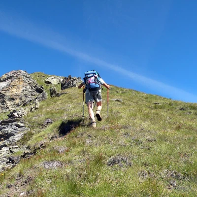
A hike to a very panoramic peak over the lower Val d'Ayas and the lower Valle d'Aosta. The first part is smooth and easy on a well-marked path all the way down to below Bringuez Lake, while the second part, which is more strenuous, takes place over steep meadows and a fairly exposed ridge with no path. This itinerary is not recommended after rain or in wet grass due to the steepness of the last part of the route.
Description
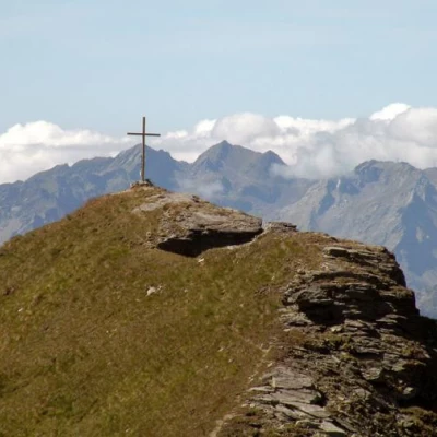
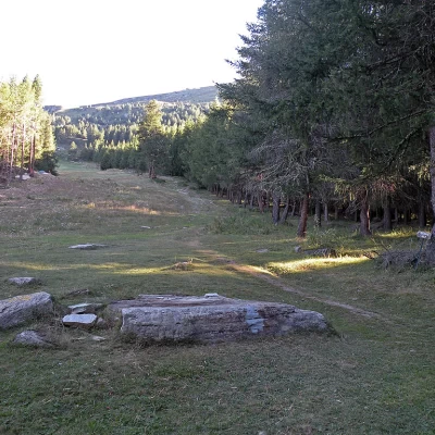
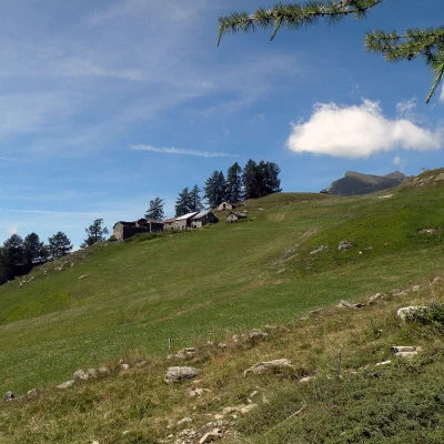
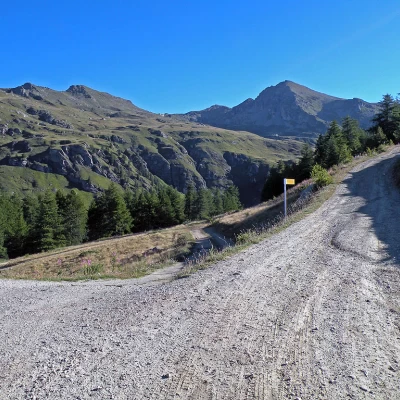
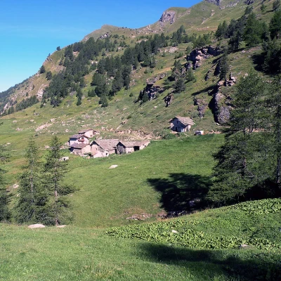
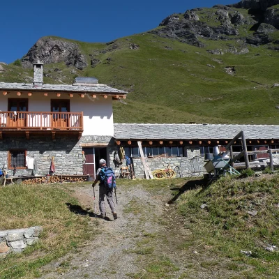
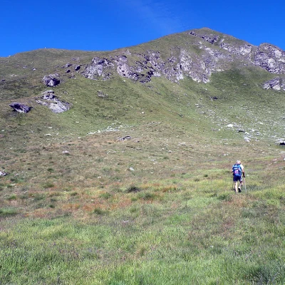
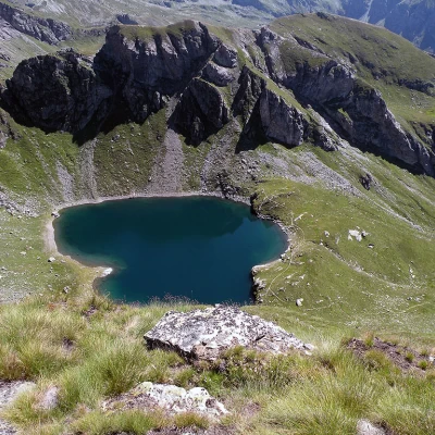
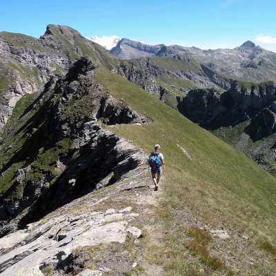
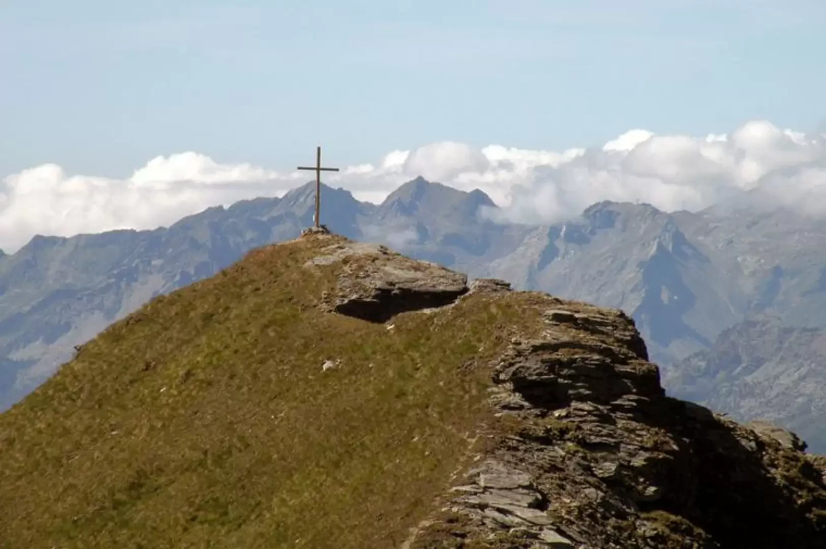
From the car park, cross the forest at its edge and immediately cross a farm road, which you follow for a few hundred metres until you come to a wide ski slope with a path that you climb up to your right. Pass the Fontaine alpine pasture (1921m) not far from it and reach the farm track again, which you now follow to the left, passing under the chair lift and next to the Chavanne alpine pasture (2107m). Shortly after this alpine pasture, near a bend, you come to a fork in the road and take the track that descends to the left. At the next and nearby fork, turn left again and descend a few hairpin bends for about a hundred metres to the Lavassey alpine pasture (1981m) at the bottom of a beautiful valley of green pastures. Continue uphill along the farm track, leaving the path for Palasinaz to the right at a fork in the road, until it ends at Quiappa (2246m), the last alpine pasture of the itinerary; now that the farm track has ended, continue along a path to the left, with a steeper slope but well marked and indicated by yellow marks and stone cairns. After a stretch on a false level that contours the slopes of Mont Quiappa on the left, you will find the junction, on the left, of another path coming from the lower part of the valley and, after crossing a stream, you will reach below the grassy rampart that supports Lake Bringuez. From this point, detach yourself from the path and ascend to the left, cutting across the grassy slope without an obligatory path to cross a grassy rib and continue towards the evident ridge, which is also grassy and is reached a little below an evident prominence. The ridge, grassy to the east but rocky and overhanging to the west, is very scenic and is just above the vertical of Brusson. Now, following the ridge, the ascent becomes very tiring as the gradient increases considerably and care must be taken to place one's feet on the solid grassy sods and the few boulders present on the route; one passes to the right of some small rocks and soon reaches the panoramic summit cross. The view to the east sweeps from the Corno Bussola to the more distant Testa Grigia and then to the west towards the nearby Dames de Challand, and further on you can see the Tersiva, the Emilius and on to the Rutor and Bianco groups. After enjoying the panorama, descend, still following the slender ridge, to the nearby Punta Palon (2733m) for a beautiful view of Lake Bringuez below. For the return walk, retrace the ridge to the depression between the two peaks and descend zigzagging over steep meadows to rejoin the point where we left the path and from here return to the car park, following the ascent route again.
