Punta Basei, from the Thumel car park
Access
At the motorway exit of Saint-Pierre (Aosta West) continue in the direction of Courmayeur. After passing Saint-Pierre, you reach Villeneuve, where you cross the junction for Val di Rhêmes. Continue up the Val di Rhêmes regional road, passing the municipalities of Introd, Rhêmes-Saint-Georges and Rhêmes-Notre-Dame. Continue along the bottom of the valley, past Pélaud, and you will reach the large car park just before the village of Thumel.
Note: the car park before Thumel is a pay car park. Bring coins for the parking meter.
Description
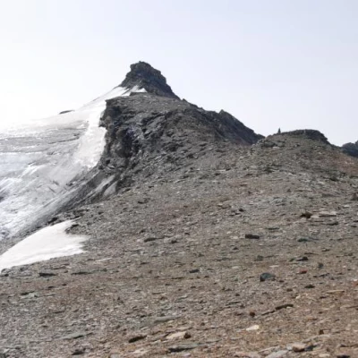
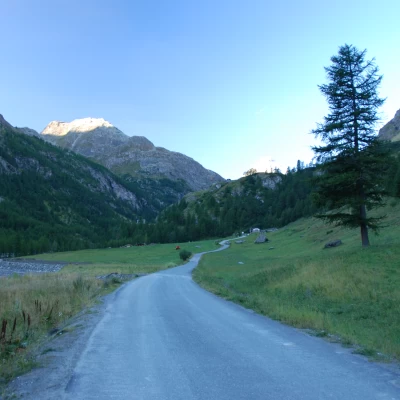
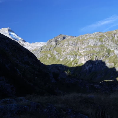
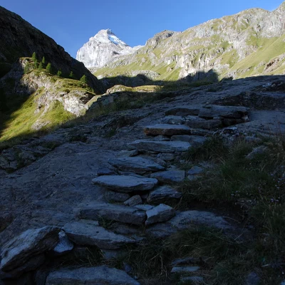
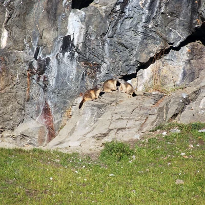
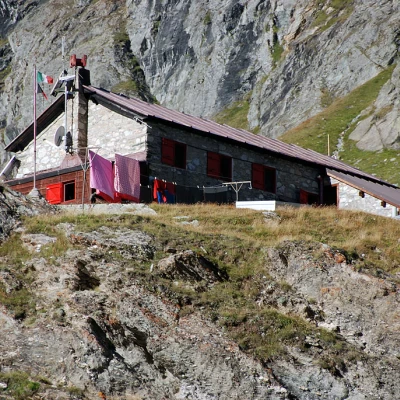
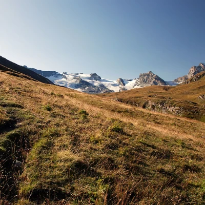
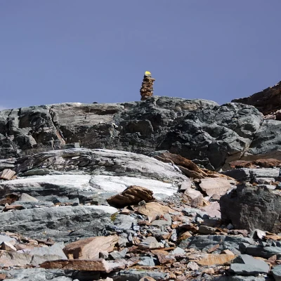
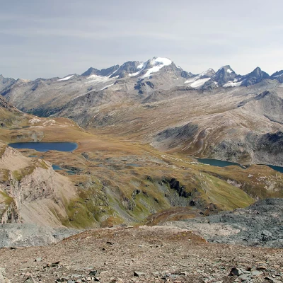
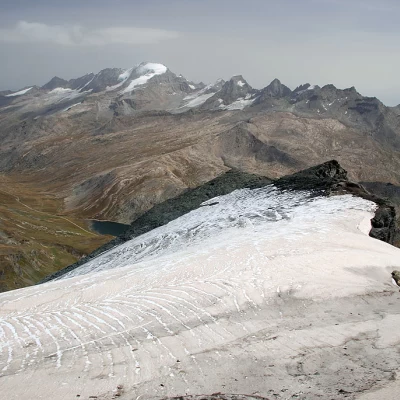
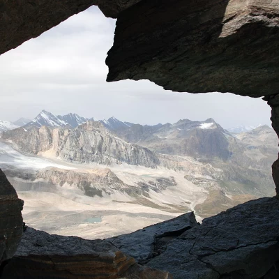
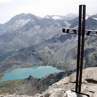
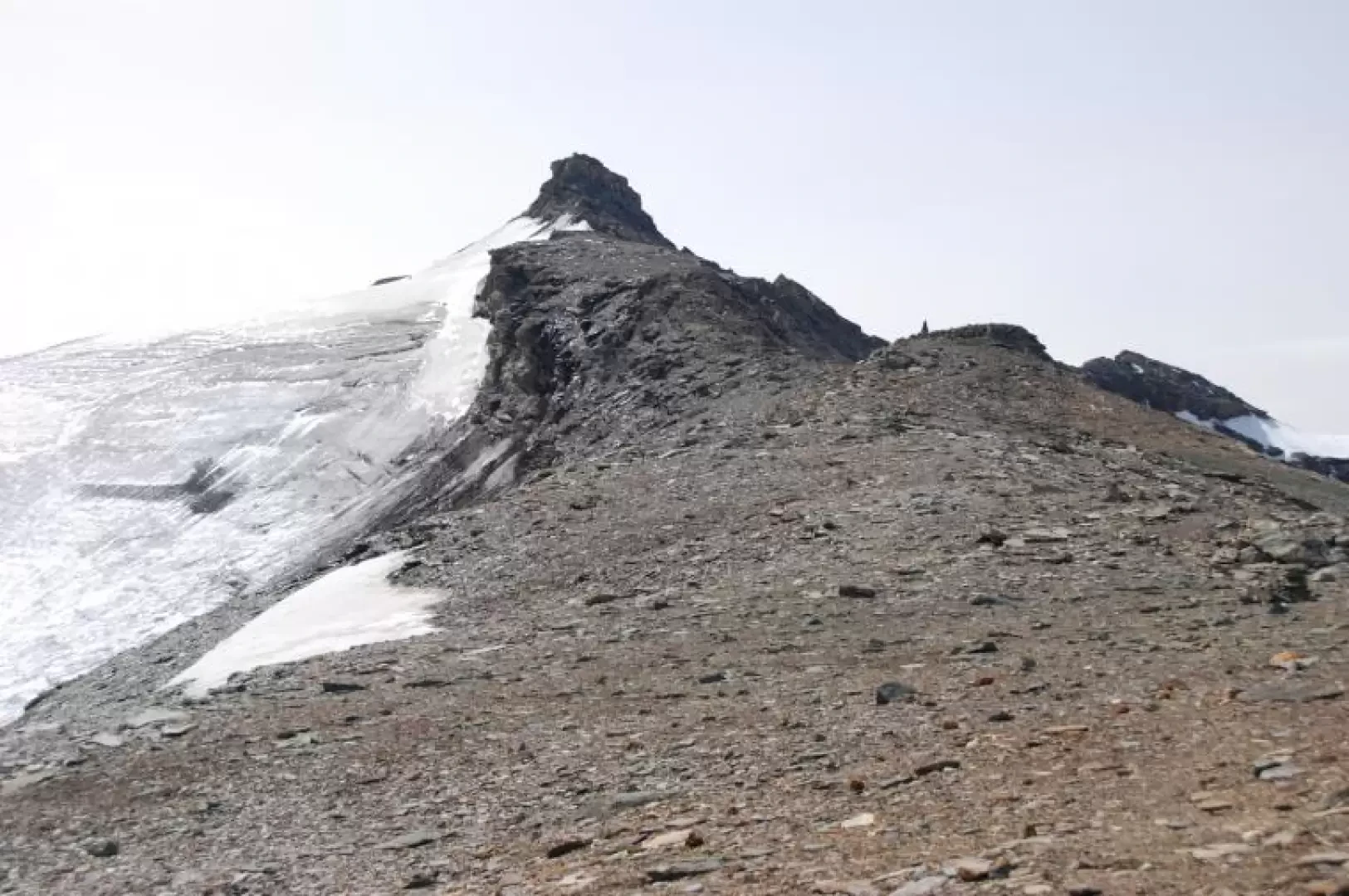
From the car park, proceed along the little asphalted road until you reach the panel bearing the name of the village of Thumel (1879m, 0h05'); go straight on, skirting an alpine pasture, until the beginning of the path (13). Go up the wide mule track that crosses a stretch of larch woodland; after about ten minutes, you will reach the Casotto dei Guardia Parco. The path flattens out slightly, narrows and passes below some sloping rocks. After a few minutes, you reach a short ledge and then descend towards the Torrent de Fos riverbed: cross the watercourse on a comfortable wooden footbridge equipped with chains on the sides of the impluvium. Once past the torrent, ignore the path (12) to Col Rosset, which branches off to the left. The walk continues on the mule track until reaching a second shelf, where the imposing rampart of the Grande Traversière (3496m) begins to be seen. Walk slightly to the right until you come to the ruins of the Barmaverein pasture (2037m, 0h30') and the start of the path (14) to Col Bassac. Past the ruins, continue halfway up the slope until reaching some rocks and, a little further on, a small stream to cross: go up a short hump and you can admire Granta Parei in all its splendour. After a short downhill stretch, the path begins to climb again briefly until it reaches the water intakes of the Thumel hydroelectric power station. Continue towards the bottom of the valley along the path, which, with a few ups and downs, crosses a series of small streams until reaching the Dora di Rhêmes; from here the path ascends diagonally until reaching the farm track at the foot of an imposing waterfall with the outflow waters of the Torrent de Golette. When you reach the road, continue left until you cross the Dora di Rhêmes on a wooden bridge flanking the ancient 'Roman bridge'. After a few metres, take the path on the right that cuts across a couple of hairpin bends in the farm road and then picks it up again in view of the Benevolo hut. Follow the road as far as the Lavassey alpine pastures; a little further on, you will meet the path again, which in a few minutes leads to the Benevolo hut (2285 m, 1h15'). Return to the road, just below the hut, and take the path (13B). Proceed in a slightly uphill south-easterly direction across a beautiful alpine meadow. After about ten minutes, you will reach the characteristic shelter, practically underground, of Basei desot (2309m, 1h25'). Continue on the right orographic slope of the Dora di Rhêmes, passing above a gorge created by the erosion of glacial waters. Continue towards the bottom of the valley, crossing pleasant pastures full of marmots; slowly the path gains height, climbing up the western slope of the Grand Vaudalaz coastline: the unique environment and the views of the Lavassey glacier are truly breathtaking. Overcome a short sloping slab and begin to climb up the slope, crossing a few tributaries. The alpine meadow gives way to the macereto and the progression becomes a little more tiring and uncertain: follow the many cairns placed along the way. The pass is now visible: the path makes a few turns and leads to the ridge where the small notch of Col Nivolettaz is located (3130m, 3h45'). Proceed in a southerly direction along an evident track until reaching Col Basei (3176m, 4h00') with its characteristic cairn. Continue along the track, which is still evident and follows the line of the ridge, until reaching the Basei glacier (which, however, is not traversed). The trail finally points towards the summit, becoming more and more inclined and uncomfortable. Just below the summit, you pass on the Ceresole side (the exposed and mountaineering section begins here) and reach a small clearing in front of a peculiar hole in the rock. Here begins the real roughness of the itinerary: a rope with a few knots helps to overcome a rocky step (II+) of four to five metres. Once the difficulty has been overcome, you reach the summit of Punta Basei (3338m, 4h30'). From the summit, the view is exceptional: a 360° panorama of the peaks of Valle d'Aosta and Savoy. The descent follows the same itinerary as the outward journey (3h00'), taking care to pay due attention to the descent of the step to be climbed with the aid of the rope.
