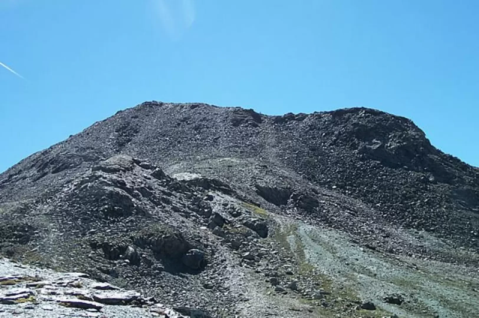
Pointe de Laval, from Gimillan

Access
Lasciare lo svincolo autostradale di Aosta Ovest e svoltare a destra, imboccando la della Valle di Cogne. Attraversare l'abitato di Aymavilles e, dopo 1,5 chilometri, alla rotonda prendere la seconda uscita. Proseguire lungo la strada regionale per 18,7 chilometri, superando i villaggi di Vieyes, Epinel e Crétaz, fino a raggiungere una nuova rotonda. Prendere la seconda uscita e continuare sulla stessa strada per altri 1,1 chilometri, fino a incontrare un’ulteriore rotonda. Qui, imboccare la terza uscita seguendo le indicazioni per Gimillan. Risalire la strada comunale per circa 3 chilometri, superando il villaggio di Montroz. Una volta giunti a Gimillan, tenere la destra al bivio e proseguire per circa 200 metri, fino a raggiungere un ampio parcheggio gratuito 🅿️ situato sul lato destro della strada. Dopo aver parcheggiato, dirigersi verso il fontanile 💧, presso il quale si trovano le paline segnaletiche con le indicazioni per tutti i percorsi del vallone di Grauson.
Distanza e tempo di percorrenza
🕒 Tempo di percorrenza: 34 minuti
📏 Distanza: 24,1 km
Navigazione GPS
📍 Come arrivare con Google Maps
📍 Come arrivare con Apple Maps
ℹ️ Nota importante
Le indicazioni fornite sono state verificate alla data del rilievo dell’itinerario. Prima della partenza, è consigliabile verificare eventuali variazioni del percorso. Per ottenere indicazioni aggiornate e dettagliate, si consiglia l’uso di Google Maps o Apple Maps.
Introduction
A fairly long route that reaches the scenic point that rises to the south-east of the broad Colle di Saint-Marcel, which itself is formed by two fairly obvious points separated by a short, almost flat, elementary ridge. Up to the Colle di Saint-Marcel there is a good marked path, and in the next section a track with a few stone cairns.
Description
Leaving the car behind, we set off along a small road that branches off to the right and leads immediately to the starting point of our excursion (large panel with directions for the various climbs). Leaving the village, we climb up the grassy slopes until we reach a dirt track, which we follow briefly to take the mule track again. Climbing at times flat and at others slightly uphill, it passes to the right of a ridge and continues above the crags overhanging the lower Grauson valley. After a stretch halfway up the slope, descend a little towards a bridge, which is crossed near the Ecloseur huts (1903 m) and meets a crossroads, with signposts. Take the path to the left, which continues without an excessive incline in a grassy expanse, at the end of which, with numerous bends, it climbs up a rampart above the Pila alpine meadow, then continues on a false slope towards the Crouzet alpine meadow (2244 m). The trail now climbs into a small valley and then turns eastwards to cut across a steep larch slope. When you reach a ridge surmounted by a cross, descend a little in the direction of the pastureland of Alp Grauson Desot (2,273m), which you leave to the left and continue to the right of a gorge, passing the Torrent de Grauson on a small bridge. At the fork a little further on, keep to the left (signpost), which passes a clearing and then climbs in almost the opposite direction to the one followed so far. Pass by a hut and cross a rib of pastureland, and a short diagonal stretch leads to the Grauson Dessus alpine pasture (2540 m), dominated by the imposing mass of the Punta di Leppe. Just in front of the alpine pasture, there is yet another signpost indicating that we should continue to the right to climb up a steep grassy ridge; at the end of the ascent, a puddle of water surrounds us on the right and, after a short, almost flat stretch, we begin to climb again at a modest gradient. Above this ridge of pastureland, pass to the right of Lake Corona (clear yellow arrows on the stones) and head towards the obvious track that cuts slightly to the north-east, touches a small comb and leads to a grassy loaf. From here it starts to climb again with an ever steeper slope, goes along the edge of a depression and a grassy ridge; it climbs up a slope of meagre pastureland then a subsequent grassy rib and from the small valley that precedes the last direct section, takes you below the wide depression of the Colle di Saint-Marcel, which is reached by a short ramp. From the latter, a track to the right avoids the first rocky ridge on the left and leads back to the almost flat ridge made up of loam and fine detritus (a few cairns) that forms a grassy shoulder. After a short scree slope, the track begins to climb again, heading up a few hairpin bends towards a crest between two small bumps (cairn) and, bypassing the right-hand ridge on the left, it leads to the edge of the ridge, which is followed, with an increasing incline, proceeding along the wide ridge. Now go up diagonally on terrain that becomes more unstable, broken rocks and loam, reaching a small shoulder of the west ridge (cairn). From here, go along the easy ridge of outcropping rocks that leads to the summit at 3091 m, and from here, having overcome a slight inflection, reach the next peak at 3099 m. The return trip is made by retracing the ascent route.
.