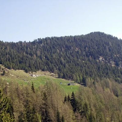
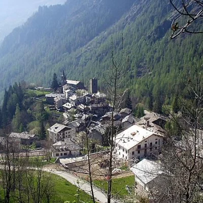
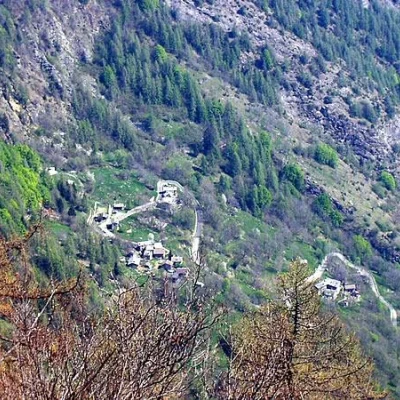
Pointe d'Arcomy, from Château
Access
Leaving the A5 motorway at Pont-Saint-Martin, turn left and take State Road 26 to Bard. After a few minutes, turn left at the junction for Champorcher near a bridge over the Dora Baltea. Once in Hône, take Regional Road 2 and climb up the Champorcher Valley, first passing the village of Pontbozet and then reaching the main town. Park in Château just opposite the road to Mont Blanc, Lake Miserin and Dondena.
.Introduction
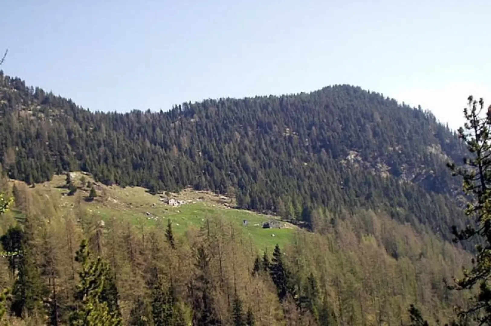
The Pointe d'Arcomy is a modest wooded elevation located just opposite the mouth of the Val d'Ayas, on the opposite orographic side of the Dora Baltea. The proposed loop itinerary traverses the woods and meadows to the south of Pointe d'Arcomy, then, with a wide loop, reaches the village of Cort almost halfway up the hillside and, crossing the road to Dondena several times, leads back to the main town of Château.
Description
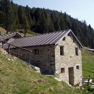
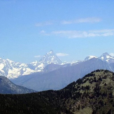
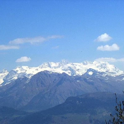
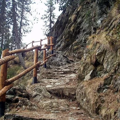
From the car park at Château (1427m), go up the tarmac road to Mont Blanc, Lake Miserin and Dondena and immediately take the little path that cuts the first hairpin bend. Follow the road to the right, pass the second hairpin bend and immediately turn right towards the houses of Gontier. After crossing the village, first reach a crucifix and then the signpost (12A) for the hamlets of Garavet and Byron. Taking the right, climb in narrow bends through the forest to the next fork for Byron and Arcumy (yellow signs painted on a low wall). Keep to the right again and, with beautiful views of Château, go halfway up the hillside to cross trail marker (12), which starts just below (the starting point of trail marker (12) can be reached from the hairpin bend to the left before Gontier by taking the asphalt road at the front and following it almost all the way to the end). After crossing another stream, you enter the forest, pass near a ruin, and reach two sections equipped with a rope. Another few minutes' walk and you are in sight of the Arcomy pastures, the pass and the eponymous peak. Along traces that are not very evident in the meadow (note the yellow markings on the protruding boulders), you cross the trail marker (11A). Almost level, between the meadows, you pass a first alpine pasture and then another. Now go up the meadow to the left (crossing the marker (13) coming from Petit Rosier) and in the forest, among some shrubs, reach Col d'Arcomy (1958m, 1h35'). From the pass, there is a magnificent view of the Cervino and the Monte Rosa group and, descending a few metres on the opposite side, of Brenva damon. Now turn right and in the forest ascend to Punta Arcomy (1991m, 1h45'), just opposite the mouth of the Val d'Ayas.
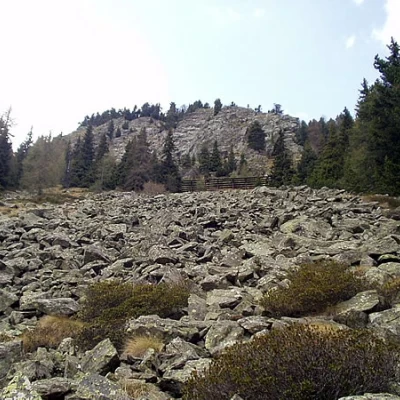
Descend to the colle d'Arcomy and the upper Arcomy pastures until you reach the junction of the trail markers (11A) and (12). Continue on trail (11A) with the beautiful mule track through the forest and climb up some steep sections to the grassy col (1871 m) north of Monte Zuc. Cross a landslide, descend a few steps, pass by a nice water intake, come out into a clearing above a ruin and reach the crossroads with the signpost (11). Go straight on and cross a first extensive landslide and others that follow, re-entering the wood and coming out onto the meadowy slope of Cort, ignoring the marker (11) on the left. Ignore a track to the right (marker (10)) to reach the last houses of Cort (1810m, 1h15') and cross the markers (10) for Col de Lac Blanc, (10C) for Col de la Croix and (9C). Descend to the left for a few hairpin bends to the tarmac road. Now continue left on the tarmac road for a couple of hairpin bends to the hamlet of Remoran. At the next wide hairpin bend to the right, note a rutted path on the left that cuts across the next hairpin bend and reaches the road just downstream of a children's playground. On reaching the hamlet of Grand Mont Blanc, turn right onto a little path that, after passing a votive pillar with a crucifix, descends in front of Colin. Another short stretch on the road then turn left towards Arbussey. Go through the village to the northern path and cross the stream on a concrete bridge. Descend to the asphalt road below and follow it to the left to the hamlet of Garavet. On the right, an inconspicuous track crosses the meadow to a little shrine from where it takes three minutes to reach the junction for Arcomy, already encountered on the way up. Now descend to Gontier and the car park at Château (1427m, 1h15').
