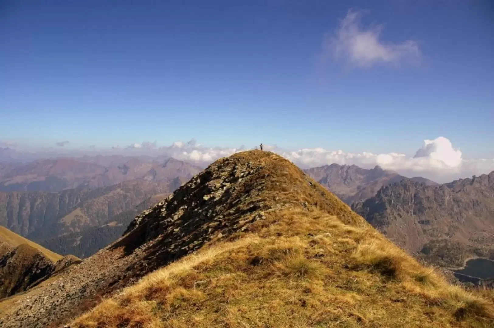
Pizzo Mellasc, from Laveggiolo

Edited by:
Marco Bonati
Access
From Milan to Morbegno along state roads 36 and 38; at the roundabout at the entrance to the town turn right towards Val Gerola. Follow the provincial road until just beyond Gerola Alta: just before the ice rink turn right onto the road to Laveggiolo. Car park at the end of the tarmac road.
Introduction
Beautiful circular route passing by a peak rather excluded - wrongly - from excursionist interest (and, on the contrary, a very popular ski mountaineering destination for our descent route). We find ourselves on the most renowned pastures for the production of Bitto cheese: brown cattle, Orobic sheep and goats are everywhere. Wide-ranging views of the Orobie (Albaredo and Gerola valleys, Ponteranica and Tre Signori groups - often cartographed with inaccuracies and toponymic fantasies); views, however, rather tampered with by the extensive hydroelectric exploitation of each valley. Three refuges are visible in the area: Casera di Trona Soliva, F.A.L.C. and Santa Rita; at the end of the Val Varrone (LC), a corner of Lake Como and the large agglomeration of Premana (cutlery and alpine equipment industries) can be seen.
Description
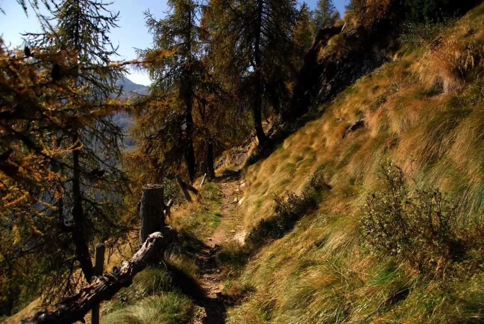
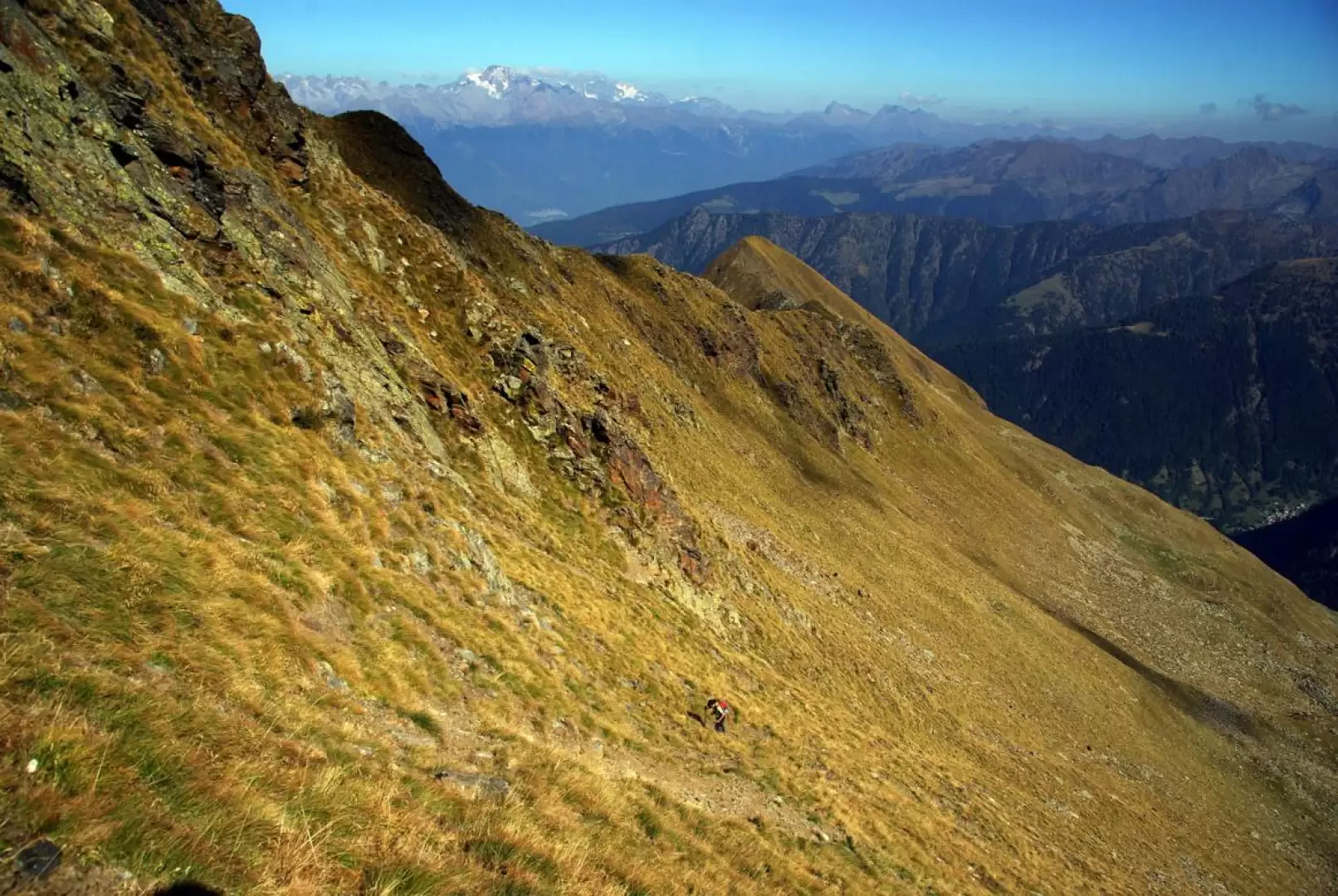
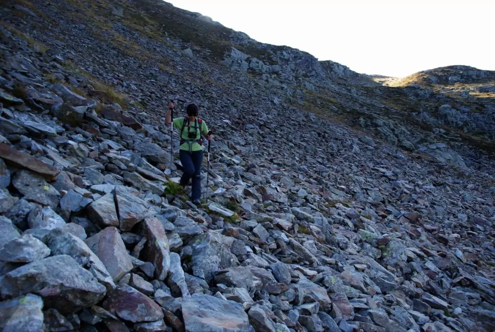
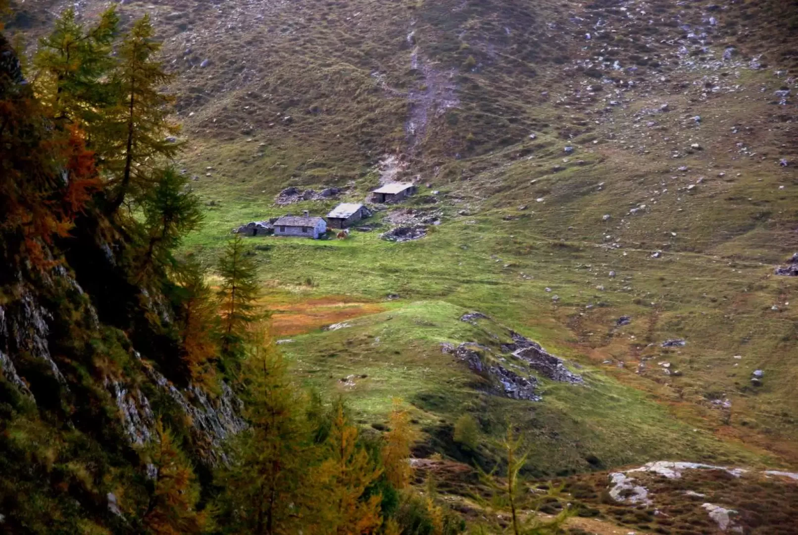
From Laveggiolo 1470m, follow the forest track for a short distance, closed to unauthorised traffic, as far as the GVO (Gran Via delle Orobie) signs, which direct you left onto the old mule track to the Trona Alps. The route - mostly flat - reaches the valley floor at a bridge: on the other side, a few steep hairpin bends lead back to the carriage track (which had taken a longer and more irregular turn with ups and downs); follow it for a good stretch, until you rejoin the mule track. A wide ledge protected downstream by handrails for the safety of cattle passage enters the upper slopes of the Valle della Pietra until it meets the forest track for the third and last time, by now in the vicinity of the Trona Soliva hut 1907m. You do not reach it, but turn off at the stream that precedes it by a few dozen metres: from here - without any signposts - you ascend on sight towards the summit, which is now clearly visible. Climbing among beautiful pastures, on either side of the stream, encountering a couple of isolated huts, one must tend to reach a waterfall ("Sprisul" 2080m): from here - on the vertical of the peak - the terrain becomes particularly steep as one ascends a sort of wide grassy corridor between discontinuous rocky structures. Taking care not to cause stones to fall from the tracks dislodged by the passage of goats, we reach the thin watershed at about 2400m. We find ourselves on the border with the Lecco-based Val Varrone and the panorama already sweeps from Pizzo dei Tre Signori to all the Grigne. A few more tens of metres of altitude on the grassy ridge and we find ourselves on the extensive summit of Pizzo Mellasc 2465m. For the descent, we take the northern slope via a stony gully; we follow the stony terrace to a small lake: here, sparse red-painted signs appear (sparse, but essential in order not to waste time searching for the route). The descent tends to follow a series of terraces, each connected to the next by channels on the right in the direction of travel. Finally, you reach the bottom of the valley at Alpe Colombana (IGM Alpe Vedrano: wrong!), which you do not reach, but of which you take the mule track for access. After a ford and a few hairpin bends, you reach again the forest track that starts from Laveggiolo: follow it to the left and you will soon reach the starting village.
Galleria fotografica