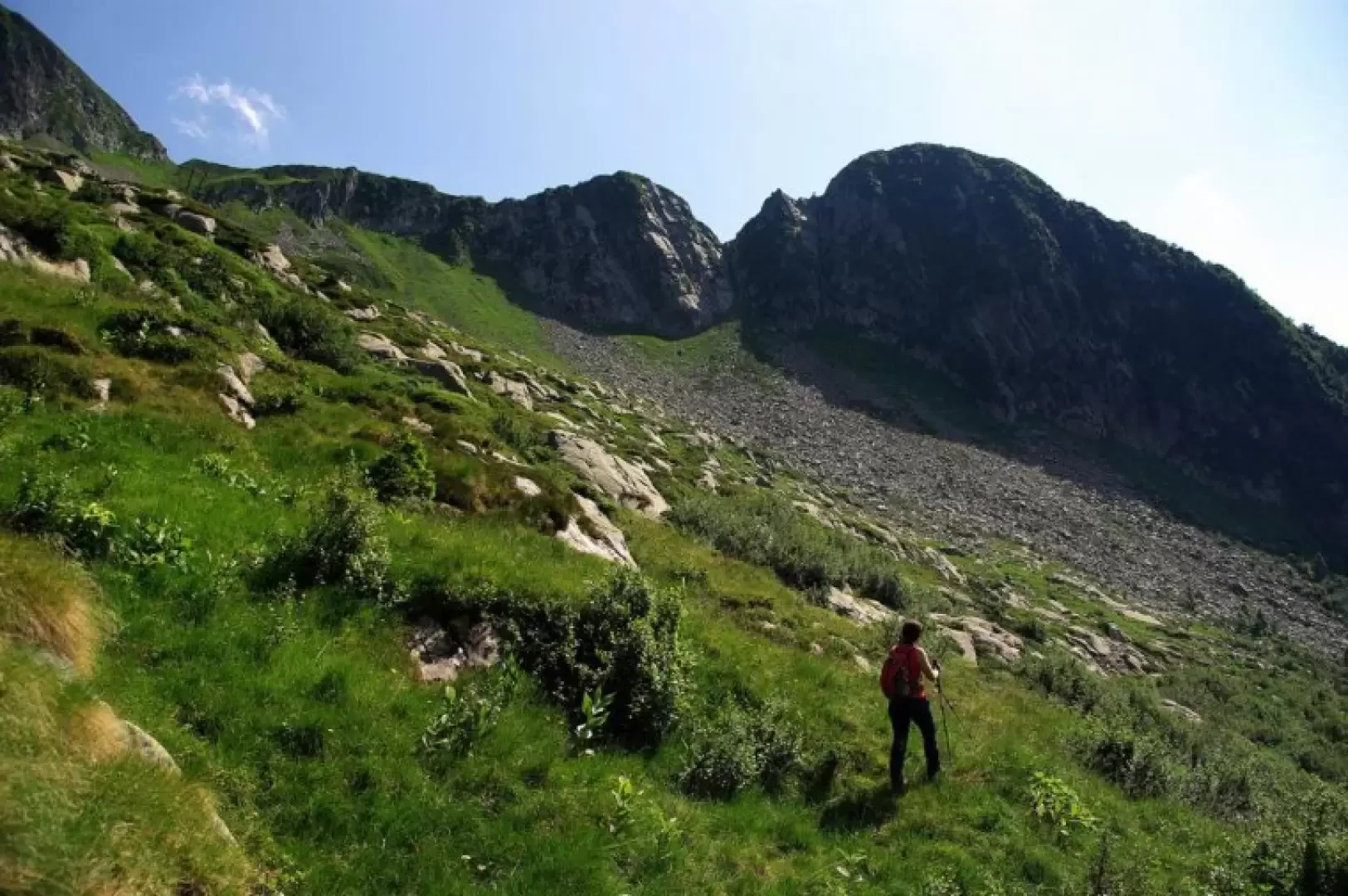
Pizzo d'Orta, from state road 470

Access
From Milan to Morbegno along State roads 36 and 38; continue as far as the roundabout which, on the right, shows signs for Passo San Marco. Go up the Valle del Bitto di Albaredo along the Transorobica Provincial Road until Km 20, at a wide hairpin bend at Val Pedena. Large parking area.
Introduction
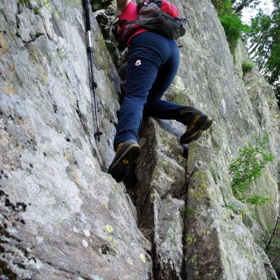
Short half-day excursion to a peak practically unknown to hikers. The panorama over the Passo S.Marco area and the neighbouring mountain groups is excellent, but the real interest of the route is technical: it allows you to become familiar with this type of ridge trail (very common in the area), which is easy as a mountaineering grade (max II) but very exposed on delicate and sometimes treacherous terrain (uncleared rocks and slippery grass). A half rope and some webbing loops may be useful, purely for safety reasons.
Description
From the parking area 1518m, locality Ponte del Redento (Orobie Valtellinesi Park newsstand), go up to the visible Casera di Pedena 1560m, where the signs in paint on the path begin. However, the track is very haphazard, heading towards the valley floor, to the left of some rocks with a small waterfall: here a good little path appears, climbing up a landslide cone on the left in hairpin bends, which allows you to cross a first step of the Pedena valley. Having also passed a wooded belt of alders, we return to the open on the intermediate slopes of the valley: just in front of us, in a southerly direction, is a crest that starts from Monte Fioraro (or Monte Azzarini) and ends on our Pizzo d'Orta; the only interruption on the coast is a steep grassy/rocky gully. This gully is the destination to aim for when crossing the Pedena amphitheatre. As soon as you come out of the alder bushes you come across a GVO (Gran Via delle Orobie) signpost, but all the arrows are broken and in any case our destination is not indicated; from now on we continue on sight without any signposts. Slowly and steadily uphill, choosing the best route through the abandoned pastureland, between boulders and slabs of outcropping rock, we reach a flow of boulders that have collapsed from the walls above. Cross it and enter the previously highlighted gully; the terrain is unstable and mobile under the steps: with a steep ascent, you reach a small wall of easy rocks that you overcome from right to left with a few short climbing steps (grade I/II). A few metres on damp and precarious turf and you reach the thin ridge: here the terrain appears less fragile, but the exposure and the progression over clumps of grass require the utmost attention. In a few tens of metres, aided by some rock blades protruding from the ground, you touch a sort of anticima; from here - the key point of the route - you pass through a sharp rock (to the north, a leap of vertical rocks, to the south, a sub-vertical wall of grass) on the final steep slope: with progression entrusted to tufts of grass, branches of creeping juniper and rhododendrons, you reach the stacked rocks of the summit. Return by the outward route. Move with extreme caution. NOTE Absolutely avoid the gully in the event of violent rain or thunderstorms: the ground shows signs of heavy water run-off and falling rocks from the wall to the left.

