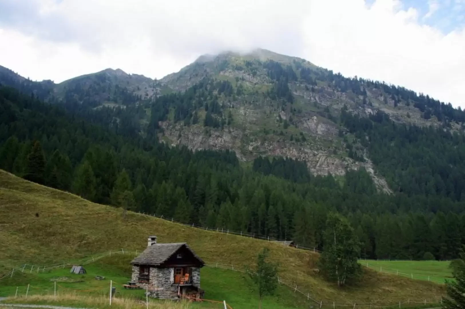
Piz Bombögn, from Cimalmotto

Access
From Como to Bellinzona by cantonal road or motorway; continue to Locarno and - in the town centre - turn right towards Valle Maggia. Drive up the long valley to Cimalmotto. Free parking.
Introduction
A climb to a characteristic mountain on the ridge bordering the two terminal branches of the Maggia valley: the Campo valley and the Bosco Gurin valley. Extensive panorama of the surrounding peaks and the peaks bordering the Italian Val Formazza. The real reason for interest on this hike is the presence on the southern slope of the mountain of a cyclopean wall built in 1948 on the western edge of a bright rock slab (Pioda di Bombögn), apparently to prevent goats from accessing reforested areas implemented to limit the spread of landslide phenomena. On the summit - since 1904 - a metal cross, the base of which houses the summit book.
Description
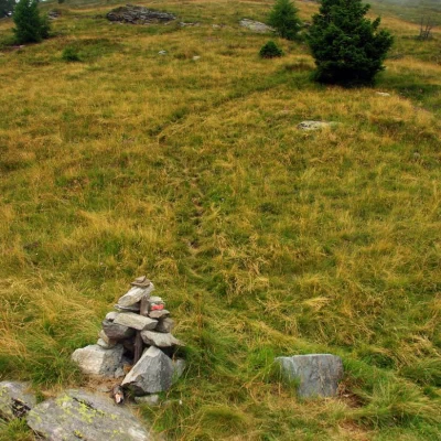
At Cimalmotto 1405m there are no signs for Piz Bombögn. Initially, follow the signposts for Rifugio La Reggia, which can be seen on the right at the edge of the forest; after the building, follow the very steep service track uphill until you reach a forest track. Follow it to the right (ignoring the signs for Passo Quadrella) until it ends at Alpe Corte Nuovo 1540m; a small wooden arrow on a larch tree near the last mountain huts indicates the path to take. One ascends into the sparse coniferous forest, crosses a characteristic water channel made of wooden planks, and continues for a long time in hairpin bends alternating between steep slopes and flat clearings (Piano delle Rose and Piano delle Volpi). At this point, a long, gently ascending traverse begins that crosses - sometimes in exposure - the slopes of the Bombögn: you follow grassy ledges, cross a scree slope and, after a short section equipped with an unreliable cable, you reach - outside the woods - a grassy knoll: at a fork, you temporarily choose the left branch. After a few tens of metres, at a small stone cairn, a very faint track in the grass starts up the steepest slope. Gradually, the slope becomes steeper and the path becomes very evident: with traverses and a few short, increasingly steep hairpin bends, we reach the end of the pastureland. A temporary softening of the slope heralds the final section between the rocks and boulders: on the right appears the wall, a very precise construction of squared stones, which originally rose three metres above the ground. Keeping to the left side of the wall, one climbs on sight towards the summit cross 2330m, following traces of passage on the little pastureland in a chaos of boulders and crumbling stones. It is possible to climb the entire wall, which appears as a very long flight of steps: bear in mind, however, that in some sections the slope exceeds 45°. Return by the outward route.

