Petite Tete de Bella Tsa, from Place Moulin

Edited by:
Benedetto Lorusso
Last survey: 03/08/2011
Updated at: 08/10/2024
Updated at: 08/10/2024
Length
0.00 Km
Departure altitude
1980 m
Arrival height
2917 m
Positive difference in height
937 m
Round trip time
04h30'
Return time
03h30'
Recommended period
Introduction
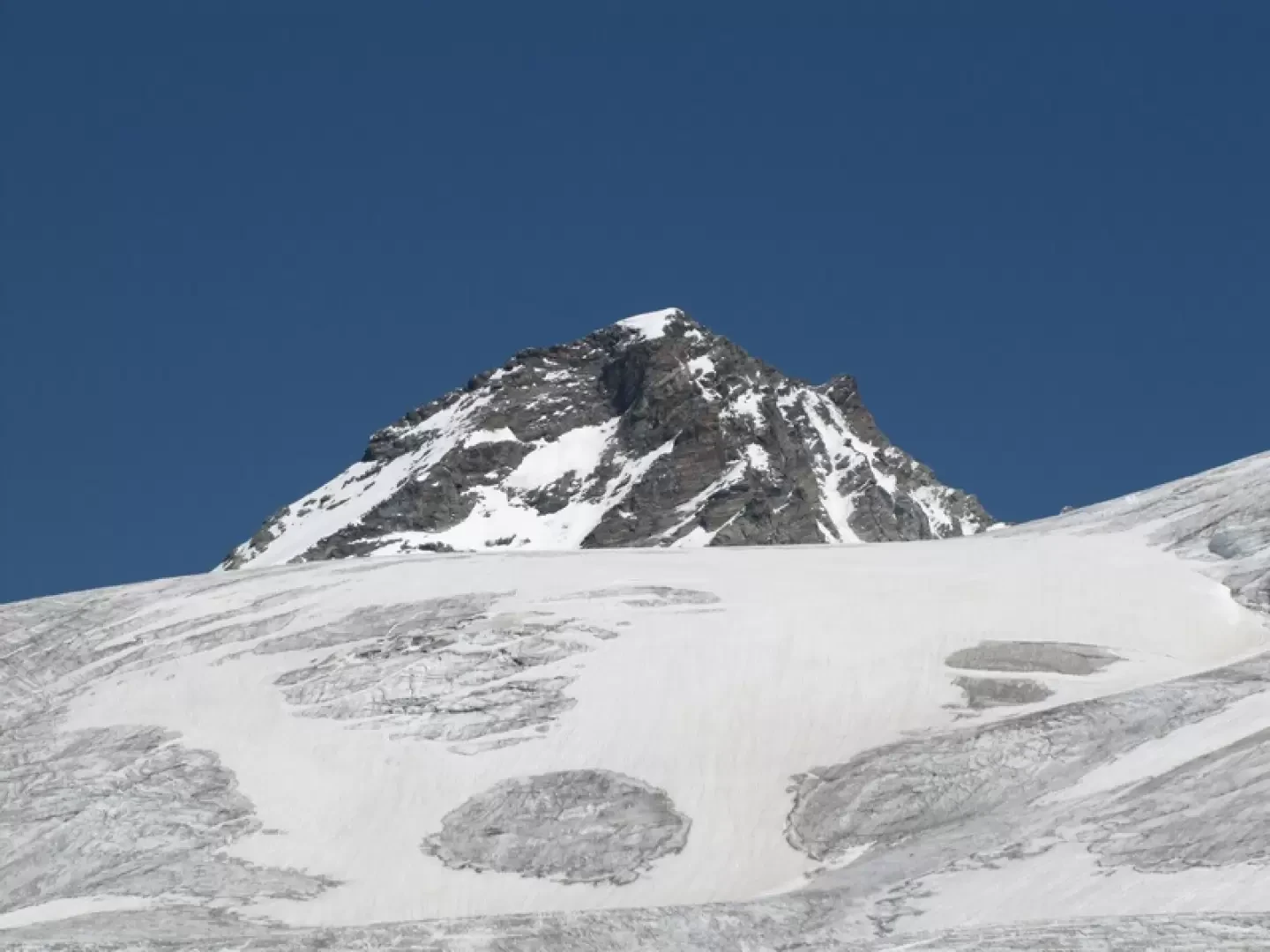
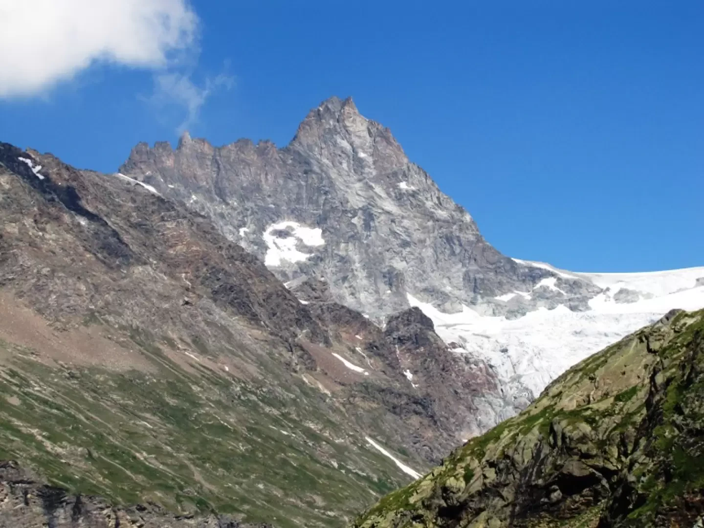
The Petite Tete de Bella Tsa (or Bellatsà) is the first elevation of the ridge that climbs to the Budden peak, a vantage point over the glaciers of the upper Valpelline, just opposite the Tete des Roeses bivouac.Description
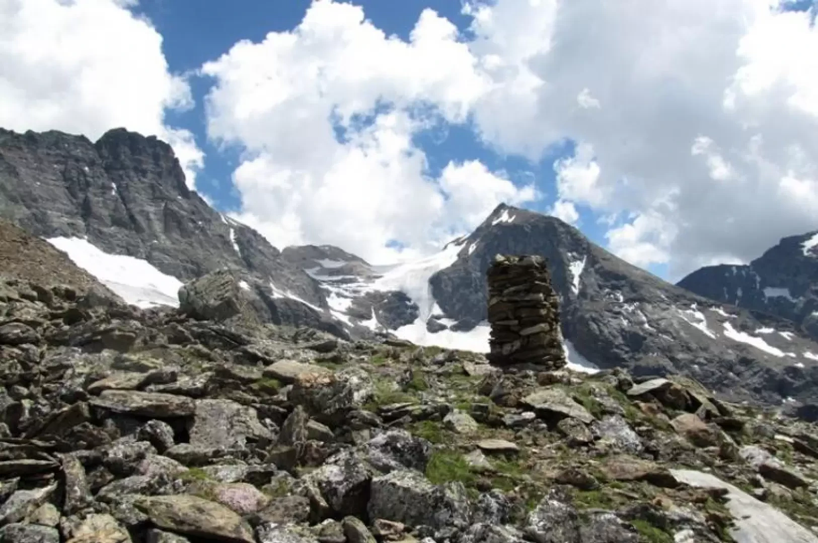
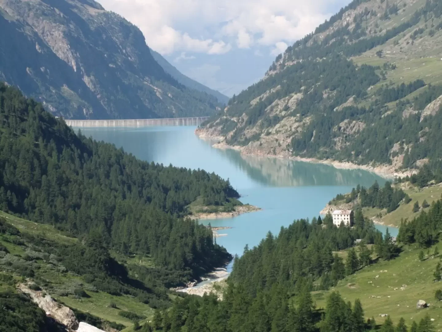
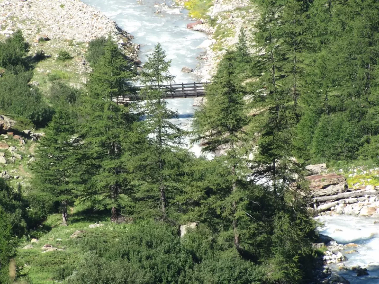
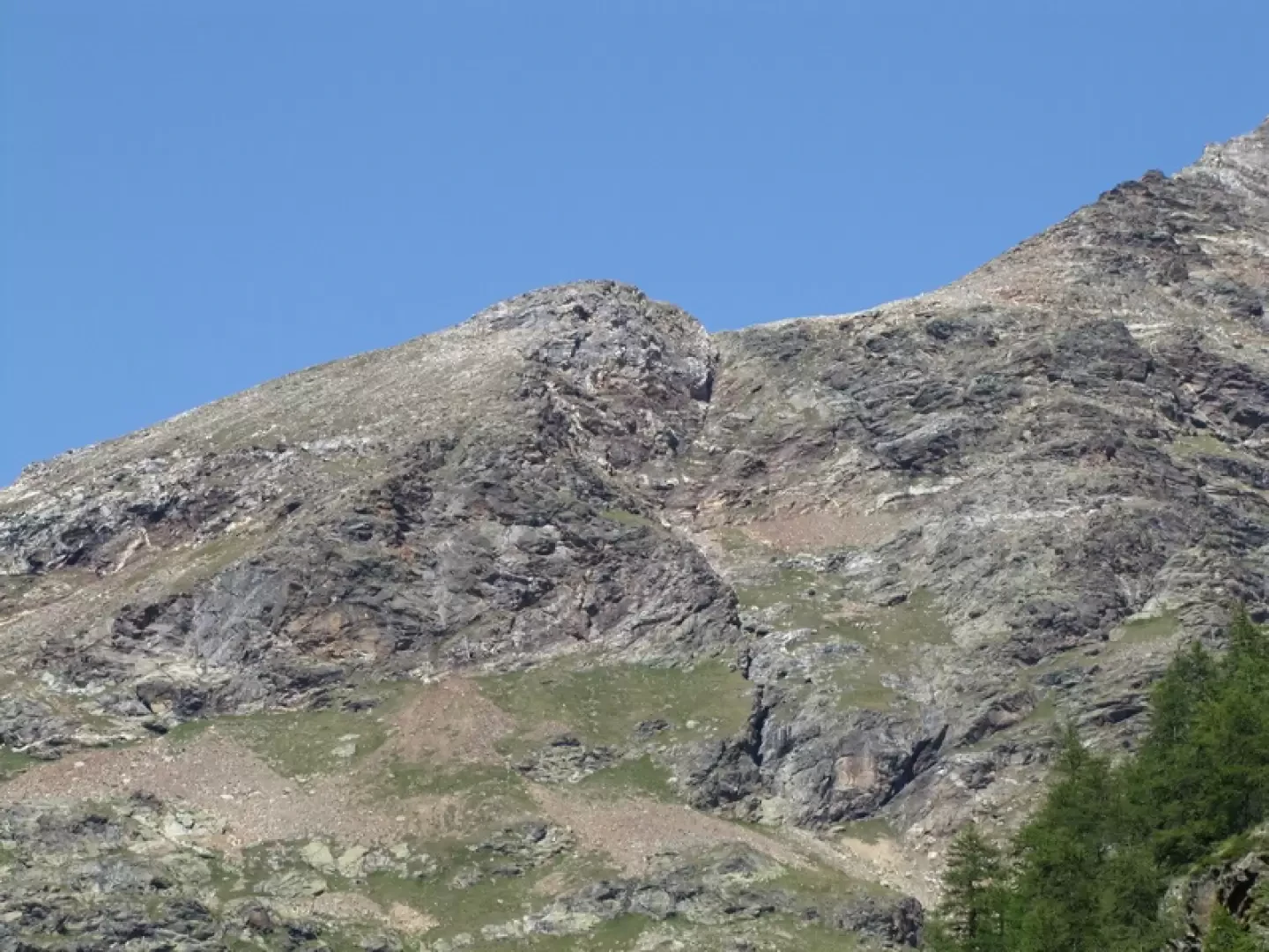
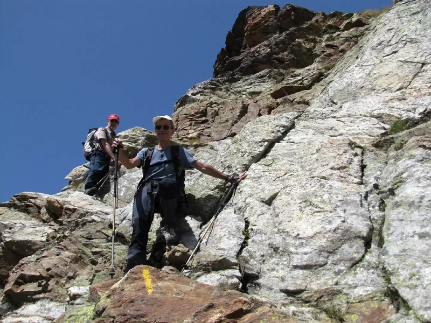
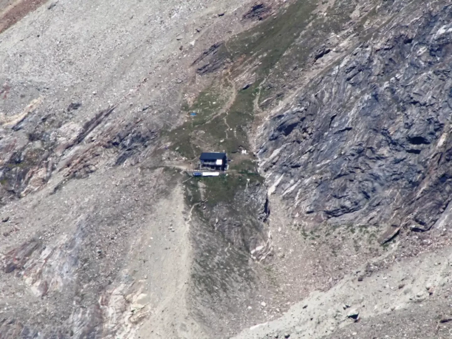
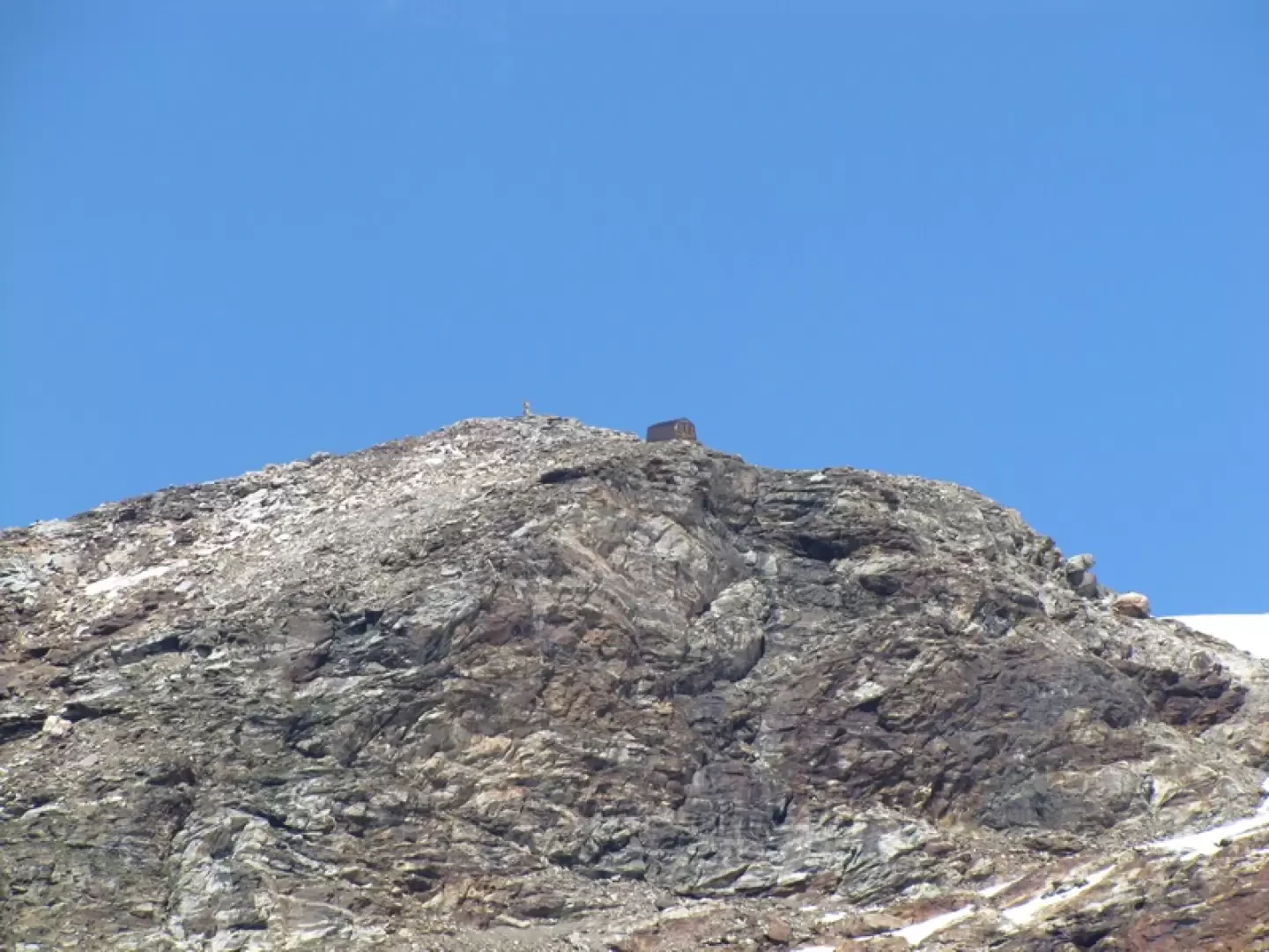
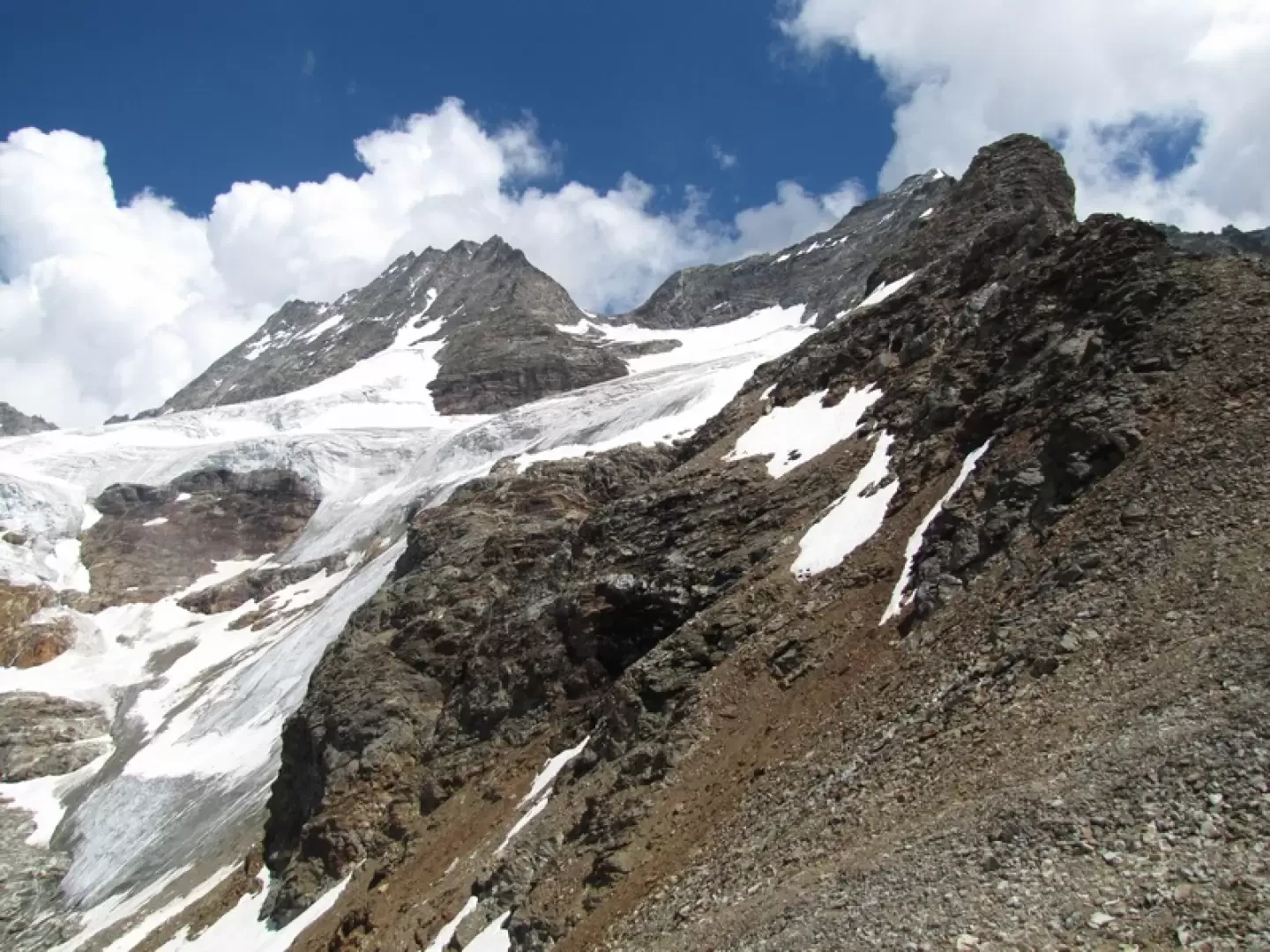
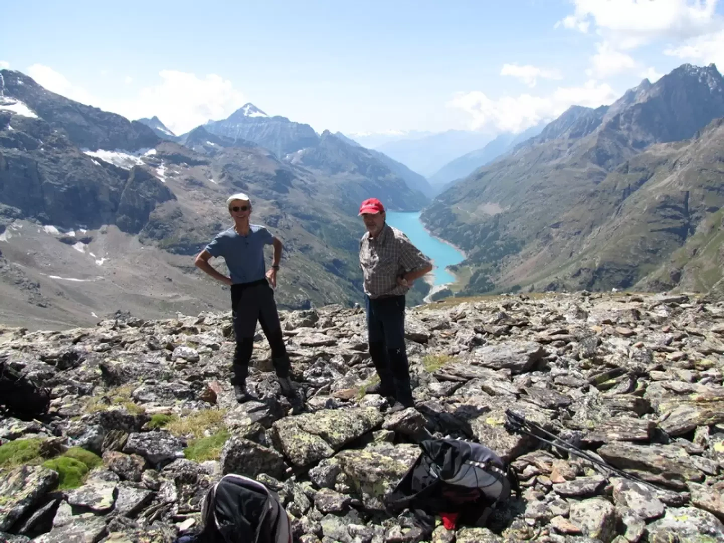
The Petite Tete de Bella Tsa (or Bellatsà) is the first elevation of the ridge that climbs to the Budden peak, a vantage point over the glaciers of the upper Valpelline, just opposite the Tete des Roeses bivouac. From the Places de Moulin dam, it takes about an hour to reach the Prarayer hut. From the refuge, follow trail marker 11 to the Bella Tsa alp. Just before crossing the Brulè stream on two wooden footbridges, there is the possibility of immediately crossing the Buthier and crossing to its left bank. This diversions is a little longer than the normal path and has the advantage that it is in the shade in the morning. For those who continue, cross the Brulè stream and turn right over a bridge to reach the path on the left bank. Continuing on, you arrive at the ruins of Gorge, from which there is a magnificent view of the lake. You then enter the plateau of the Dere le vieille alp, at the end of which is a saddle from which you can see the Aosta hut. For the Bella Tsa alpine meadow, look for the yellow signs and cairns on the right that lead to the path that climbs the slope and with a traverse to the left (north) leads to the ruins of the Bella Tsa alpine meadow. It is now necessary to look for the yellow signs of the itinerary leading to the Tete des Roeses bivouac, which are to the left to the north. Follow the signs and cairns and go over a steep grassy tongue between two detrital slopes and a small jump that can be bypassed to the right. One crosses a small boulder and arrives at the foot of the crest that descends from the Budden peak, just before a second small jump passed by the yellow signs. One could continue following the signs up to the crest, but it is better to abandon them to the right, skirting the crest for a hundred metres or so until one finds a notch through which one ascends to the wide grassy detrital ridge overhung by the summit rocks. Rocks that go around to the left to re-enter the wide final space to the right towards the cairn of the summit. It is a good idea to leave a cairn, as soon as you reach the crest, to better identify the descent point.Galleria fotografica
© 2021 - Benedetto Lorusso
© 2021 - Benedetto Lorusso
© 2021 - Benedetto Lorusso
© 2021 - Benedetto Lorusso
© 2021 - Benedetto Lorusso
© 2011 - Benedetto Lorusso
© 2011 - Benedetto Lorusso
© 2011 - Benedetto Lorusso
© 2011 - Benedetto Lorusso
© 2010 - Benedetto Lorusso
© 2010 - Benedetto Lorusso