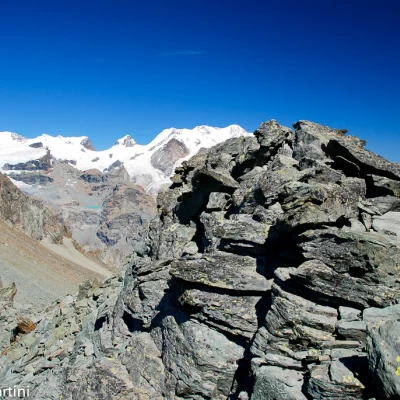
Petit Tournalin, from the Barmaz car park
Access
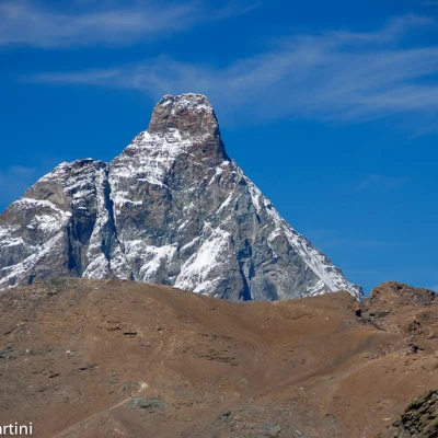
From the motorway exit of Châtillon/Saint-Vincent turn left and drive up the main road to a roundabout, take the second exit and proceed west on Via E. Chanoux through the centre of Châtillon, cross the Marmore stream and take first Via Menabrea to the right and then Via Martiri di Chesod before turning onto , the second exit at the characteristic roundabout with the Matterhorn in the centre.
Follow the regional road for 18.7km as far as Valtournenche where, towards the end of the village at Hotel des Neiges, turn right and climb up the municipal road to Cheneil. Follow the road for 6.5km until you reach the 🅿️ car park in Barmaz, the starting point for the hike.
The car park is ample but given the busy nature of the area it is advisable to arrive early enough on busy days to avoid having to leave your car further down the hill.
Just beyond the start of the hike there is a tourist lift, which is always in operation and allows you to save 50m on the ascent.
How to get there with GMaps
How to get there with Apple Maps
.Introduction
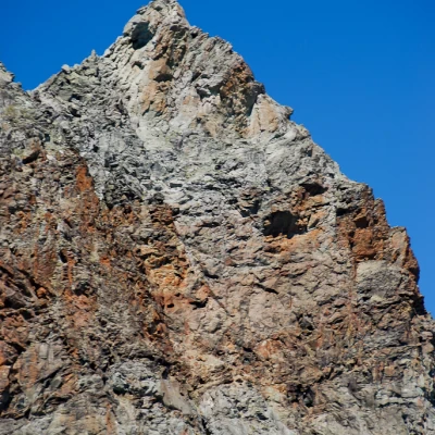
The Petit Tournalin is the least known of the two 'tournalins' but that is not to say that its ascent is not interesting. The route described is from Col Tournalin along the north ridge.
Description
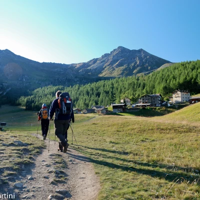
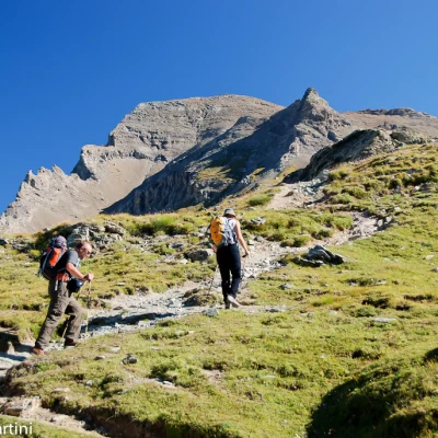
0h00' From the car park, go up the comfortable mule track that leads with a few bends to the pleasant plateau that anticipates the pretty village of Cheneil. Cross the meadow to near the Albergo Panorama al bich and from here reach the post that is slightly off to the right.
Take the path
that branches off to the left in a long diagonal ascent between sparse larches and a few alders. After passing through the short wooded scrub, the path continues between blueberry and juniper thickets, climbing up the slope without too much slope.
After encountering the signpost for the Clavalité sanctuary, continue along the wide path of the Alta Via between broad grassy bumps until you come to a new fork: keep to the left and follow path
.
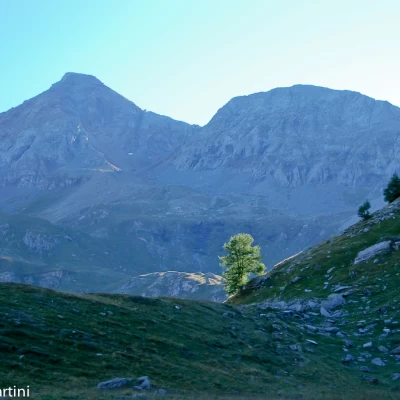
Across the eriophore-studded pastures heading towards the portentous southern face of the Grand Tournalin. You quickly reach a small stream beyond which the trail begins to climb again until you reach a new fork: keep to the right on trail
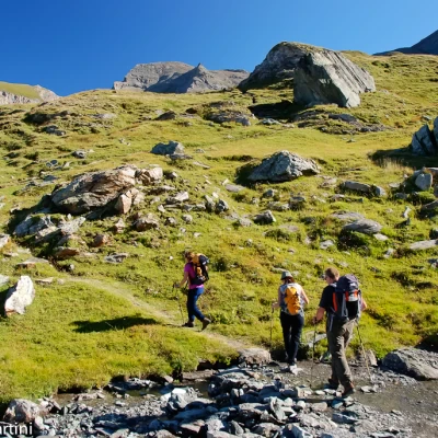
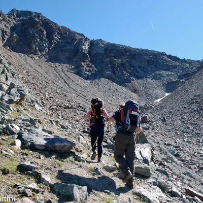
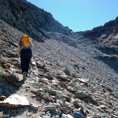
up the meadowy slope. Slowly the vegetation gives way to an arid moraine detrital environment, the result of ancient glacial times. Proceed along the shoulder of the moraine, bringing you close to the rock face before starting a long diagonal ascent on the path built in 1871, which is still in a fairly good state of preservation. Reaching a barma, the pass is now close by: a short passage between large boulders leads to the pass, the starting point of the mountaineering section.
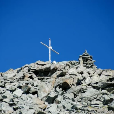
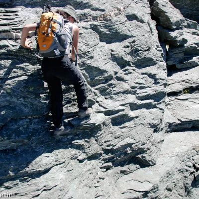
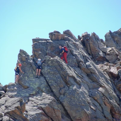
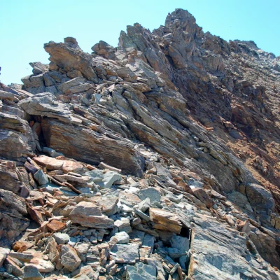
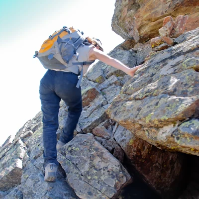
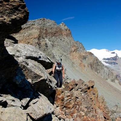
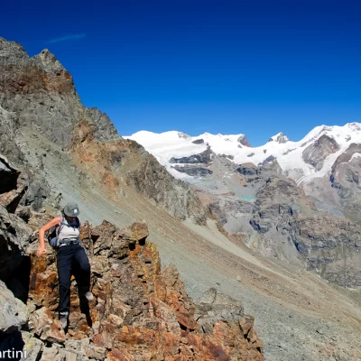
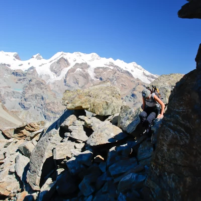
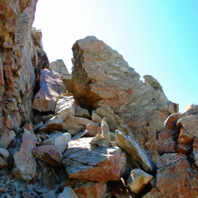
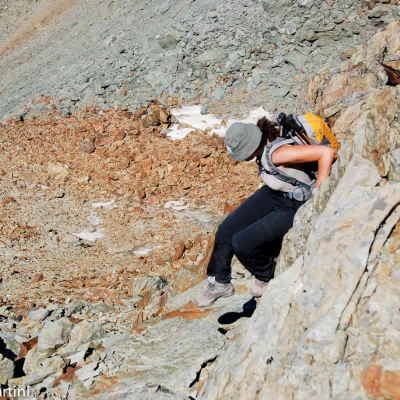
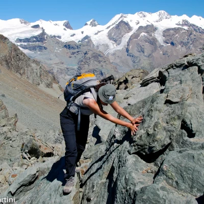
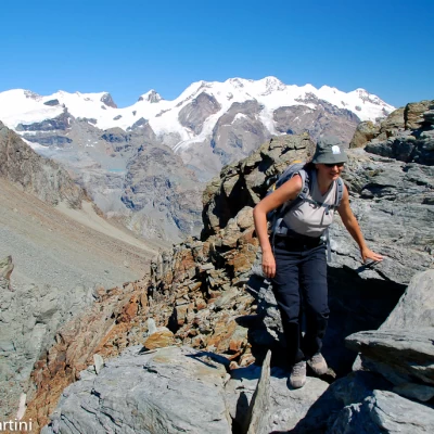
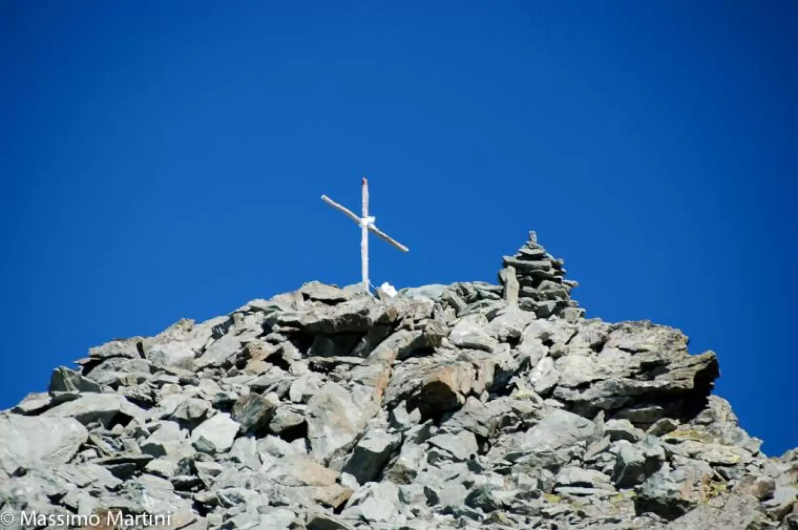
Just before the pass, detach from the path to the Grand Tournalin and pass slightly below the rocky depression; cross a short rocky crag with adherence to take you with a few grade I passages to the line of the north ridge. Having overcome the first roughness, continue on broken rock with a few long passes and some hand holds. From time to time, you pass on the eastern slope and cannot help but be pleasantly overwhelmed by the enchanting panoramic views of the Monte Rosa massif. The mountaineering passages are present in a discontinuous manner, some are of pure adherence progression, others require some sought-after support. The progression leads the mountaineer up a section along the eastern slope, with a few short ups and downs, before entering a notch in the ridge and then moving onto the western slope where more broken rocks are overcome before tackling some slightly exposed steps. Once these last obstacles have been overcome, proceed for a short stretch on sloping slabs before reaching the scree summit surmounted by a large stone cairn (3207m).
The descent can be made with some caution along the ascent route but it is advisable to take the descent path along the normal route to Col de Nannaz and from here follow the Alta Via to Cheneil.
