Passo Poia, from La Rasega

Edited by:
Franco Pelosato
Updated at: 15/03/2025
Access
The starting point, on foot, for reaching the Adamé Valley: La Rasega - a locality in the hamlet of Valle in the municipality of Saviore dell'Adamello.
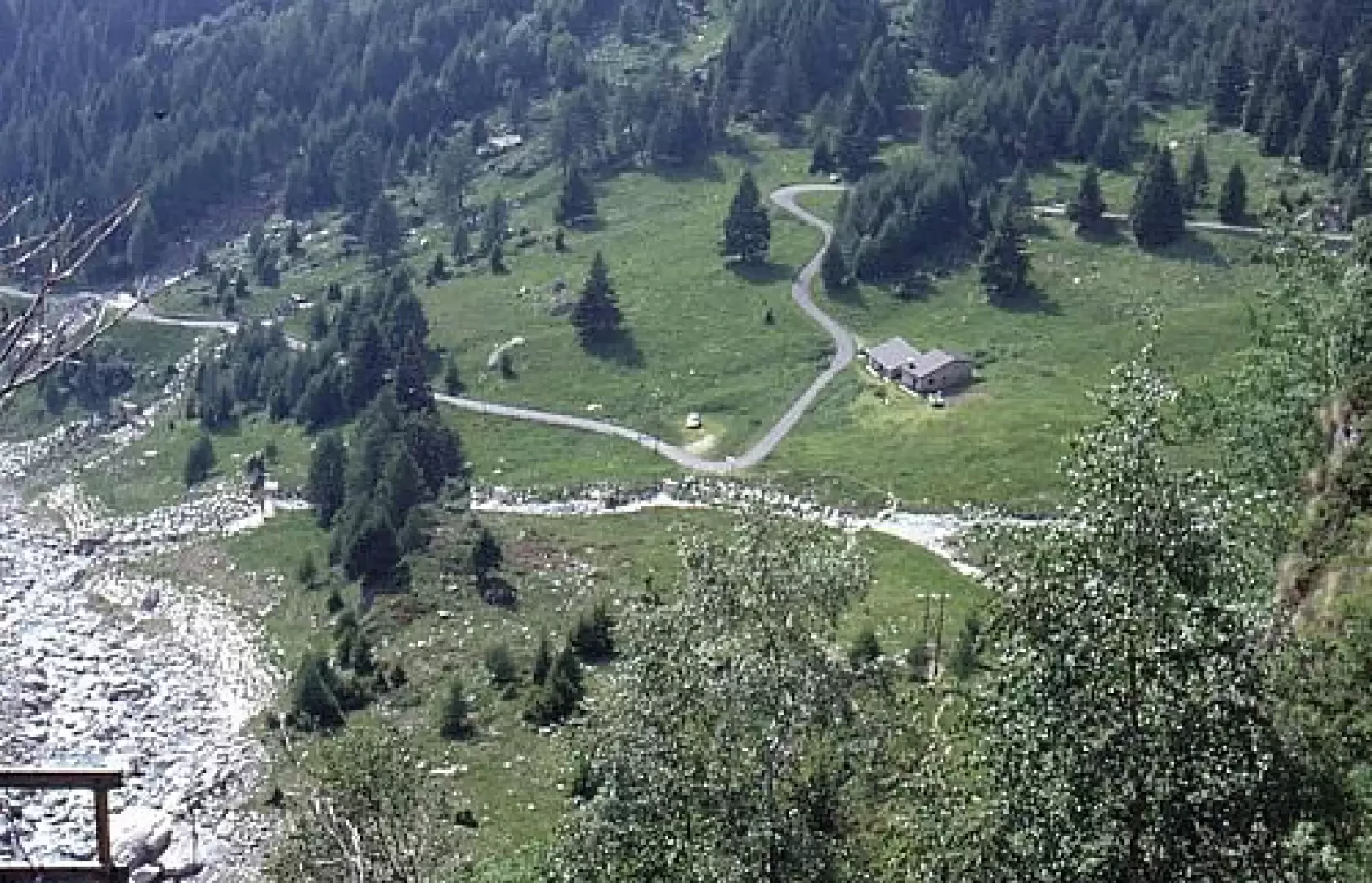
To reach the locality of "La Rasega" take state road 42 as far as CEDEGOLO then turn right onto provincial road No. 6 for Fresine and Valle (the junction is immediately after the narrow road in the centre of Cedegolo; not to be confused with the second junction, for Cevo and Saviore, which is further on, in the village of Demo). The route climbs about 10 km (at Fresine continue straight on) and then, after the hamlet of Valle, continues along the valley on a conveniently level tarmac road for another 2 km or so until you come to a group of farmhouses and a small football pitch, where you can park, either immediately before the sports ground or immediately afterwards.
Introduction
A hike that is long enough to require good training and familiarity with walking at high altitude and overcoming considerable altitude differences.
Description
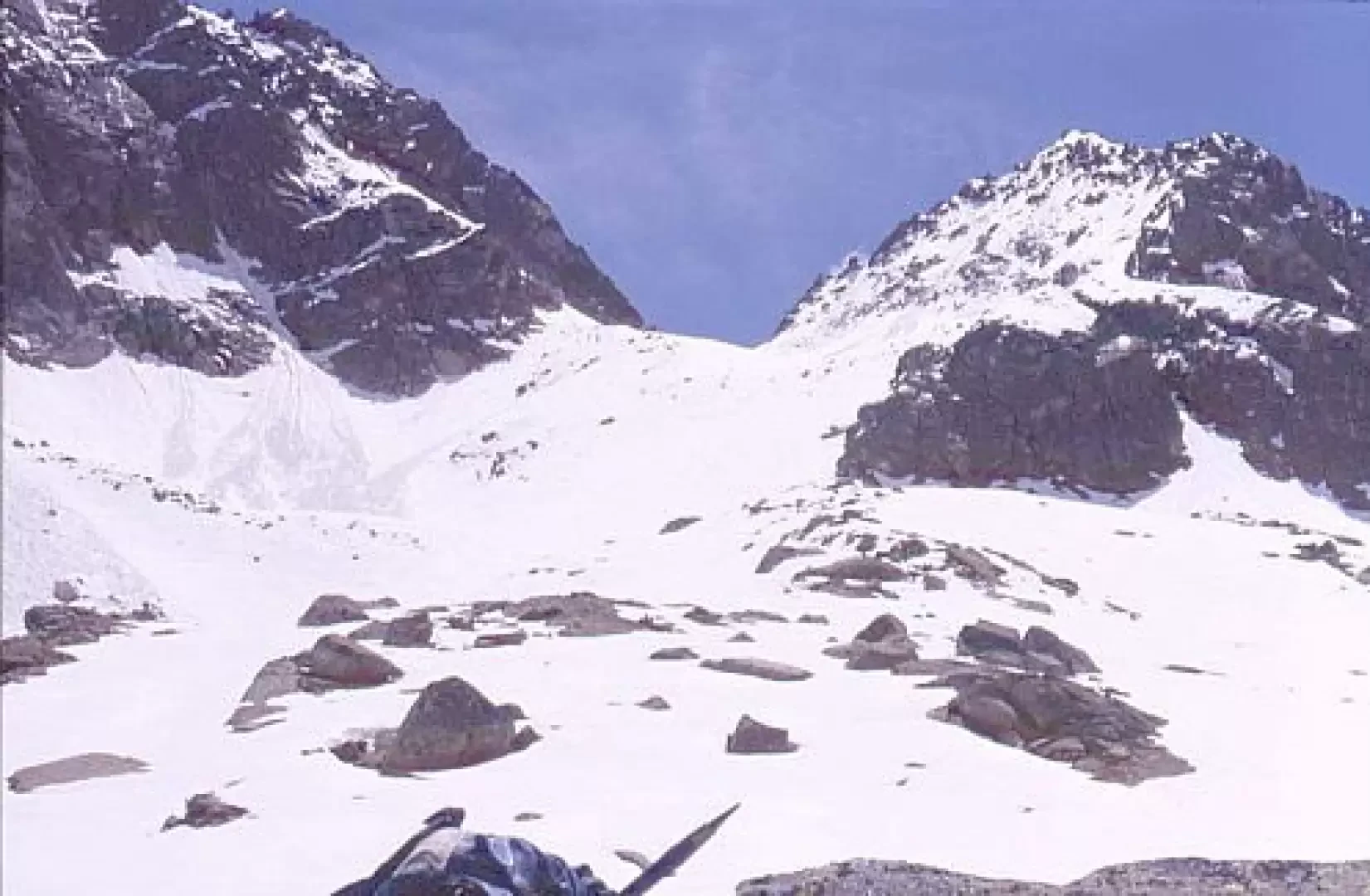
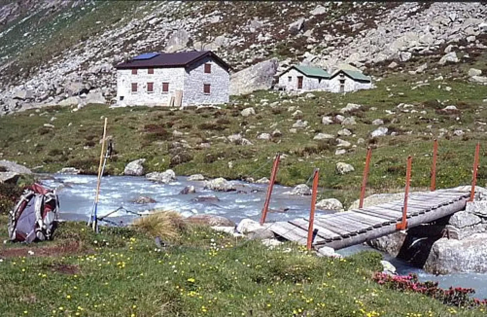
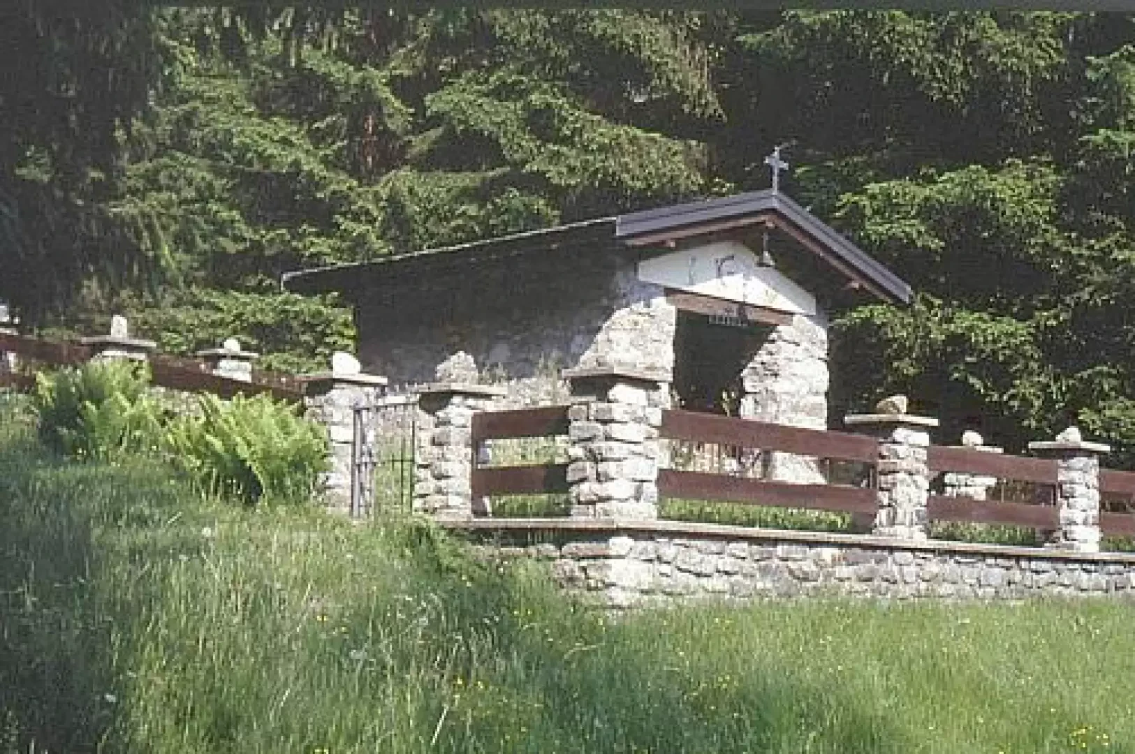
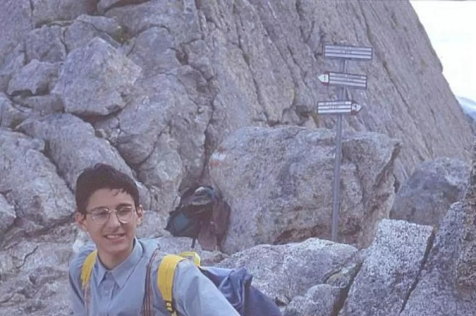
When the road to malga Lincino is practicable you can continue, after the Rasega by car, up to the malga itself (the road is narrow, has some critical hairpin bends, but is asphalted and not too steep); you save about 50 minutes on foot. On foot from the Rasega, follow the road to the Lincino malga and then continue to the right along the well-marked path. The initial stretch, after the first two hairpin bends, can also be walked on the path (which is not very well signposted) that is on our left, passes close to the mountain and comes out on the road at the "Stella Alpina". Continuing along the road, we pass by the "Le Crüste" hut. Next, you reach the locality of "Morcc de Töle" where there is a shrine commemorating a tragic event from the early 19th century: an avalanche hit and killed a large group of young people who were going "per isiga". "24 April 1804 - from the book of the dead of the parish of Valle: In addition to the many who were in grave danger, the following were buried under the avalanche: - Giovanni Battista son of G. Paini aged 23 - Maria Caterina di Giacomo Pasinetti aged 17 - Maria di Bortolo Tosini aged 14 - Lucia del fu Bortolo Bonomelli aged 22 - Domenica di Francesco Spinardi aged 17. To go "per isiga" meant to go with a basket, on the mountain slopes, even in very steep places, to collect grass (the isiga is a grass characteristic for being stringy and resistant to tearing), take it home or to the farmstead to feed the cattle, as they did not have enough meadows to grow hay. It was particularly tiring as well as dangerous work, which was mainly carried out by young people. Immediately further upstream (visible by the protective fence now in place), there is evidence of a kiln for the manufacture of quicklime: the area is characterised by the presence of limestone rocks and is part of that belt that stretches from Concarena, through Colombé, and Lincino to Baitone. This oven is preserved intact as it was also used in very recent times (1940s). We then reach the Lincino malga and at the first hairpin bend we follow the path that starts to our right, and we tackle the "müla", in about an hour we arrive in Adamé. On the level path immediately after the junction with the uphill path, there is a memorial stone in memory of four young men who were victims of an avalanche on the Castellaccio gully. We go left; we have now arrived in Adamé, here are the water catchment works and the refuge. We continue on the path, leaving the torrent to our right; up to the hut it is practically flat, then it rises to overcome a slight glacial step. After the first step, a second one follows, then we arrive at a new flat area, this time very wide. At this point, the Baita Adamé is visible, at the bottom, where the valley bends to our left. You can see, to the left, two "casine di mezzo" and to the right the Adamé hut of the CAI Cedegolo. From the refuge to the Baita, under normal conditions it takes about an hour. Continue along the right orographic bank, the path crosses the stream, in sight of an enormous erratic boulder on the bottom of the valley (Cùal del manzuler ) - a ten-minute walk from the Adamé hut, follow the signs, turning left. (path[1]). You ascend along a grassy cone, zig-zagging in places and climbing steeply along the steepest line. At a certain point, a glacial step must be crossed, then, after a very steep section, you come to an area with a large outcropping moraine, at which point the narrow notch between the Poia and Frampola peaks is visible. One ascends the gully, which in the meantime has become steeper and narrower, and finally reaches the pass. The view over the Salarno valley is stupendous! We are in front of the Miller horn, of which we can admire the shiny vertical granite walls, the vedretta di Salarno with its glacier, the route from the bottom of the Salarno valley to the Salarno pass, as well as the Corno and Cornetto di Salarno.
.Galleria fotografica