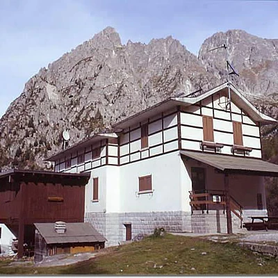
Gallinera Pass, from Val Paghera
Access
The natural starting point for the Aviolo basin is the locality of "Le cascate", which is located at the bottom of the Val Paghera valley, in the municipality of Vezza d'Oglio, right at the beginning of the glacial step that rises towards the basin.
You can reach Le Casccate from the Tonale and Mendola state road (SS No. 42):
- if you are coming from the valley (from Edolo) go up to about 600 m after the village of Incudine where you turn right at the crossroads, continue along this secondary road, cross the River Oglio (turning right); at the village of Vezza d'Oglio turn right again, towards Aviolo.
After a hairpin bend and a steep stretch of road, you move to the orographic left of the Aviolo stream, reach the "alle cascate" hut and after the hairpin bend continue for a few hundred metres more, until you reach, on the left, the forecourt of the former Enel cantiere cable car, where you can park.
- If you are coming from the upper Valcamonica (Tonale or Ponte di Legno), go down to the village of Vezza d'Oglio, where, after the bridge over the Val Grande stream, turn left, following the signs for the Aviolo refuge; after the bridge over the Oglio, go straight on in the direction of Val Paghera.
Introduction
This hike takes place in three characteristic and clearly distinct environmental situations:
- 1 - the first stretch, up to the refuge, consists of crossing a rugged glacial step, via a steep path which, after crossing a short coniferous wood, climbs up along damp "gullies" full of green alders.
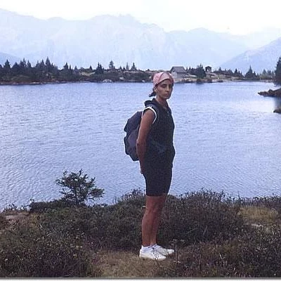
- 2 - the second is the crossing of two alluvial plains, characterised by the particular flora of the Alpine 'wetlands' (peat bogs). It should be noted that the first alluvial plain, which now houses the pond, was also a 'peat bog' until 1935. In addition to scattered firs and larches, there are also dwarf pines and several specimens of stone pines.
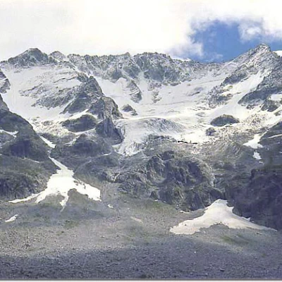
- 3 - the third is the ascent up the orographic left 'slope', characterised by a few green alder bushes and only partially grassed. From this ascent we enjoy the spectacle of having in front of us (on our orographic right) the hanging glacier of the Baitone horns.
From a geological point of view, the Aviolo basin is particularly interesting in that it is located in the contact zone between effusive rocks (Adamello pluton), metamorphosed schist rocks and calcareous rocks (calcephrites).
Description
Starting from the forecourt beside the former Enel cableway, climb up an easy, well-marked path (it is very popular in summer as the Aviolo basin is beautiful and within easy reach: it takes little more than an hour to be in sight of a majestic, permanent hanging glacier), first among the fir trees and then in the coppice, as far as the base of a steep gully. The path now becomes steeper and, with frequent hairpin bends on the rocky spurs, to the left of the aforementioned 'gully', we reach the stream that runs through it; having crossed the latter, we climb along a hollow, sheltered on both sides by steep and craggy ramparts, to a saddle. From here, if you want to admire the view, simply climb (carefully!) up the promontory to your right. Continue slightly downhill for a few metres - here be very careful because downstream of the path, which seems harmless, there is a steep slope that leads to a very high waterfall! - then close to the mountain, at first with even substantial drips of water, you climb up along a "gully" with frequent hairpin bends now to the left now to the right of the stream that runs through it. Eventually, you come out on the right outside the "gully", walk along a short stretch halfway up from right to left and arrive at an esplanade (altitude approx. 1780 m).
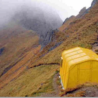
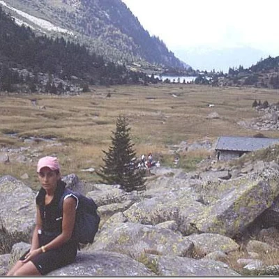
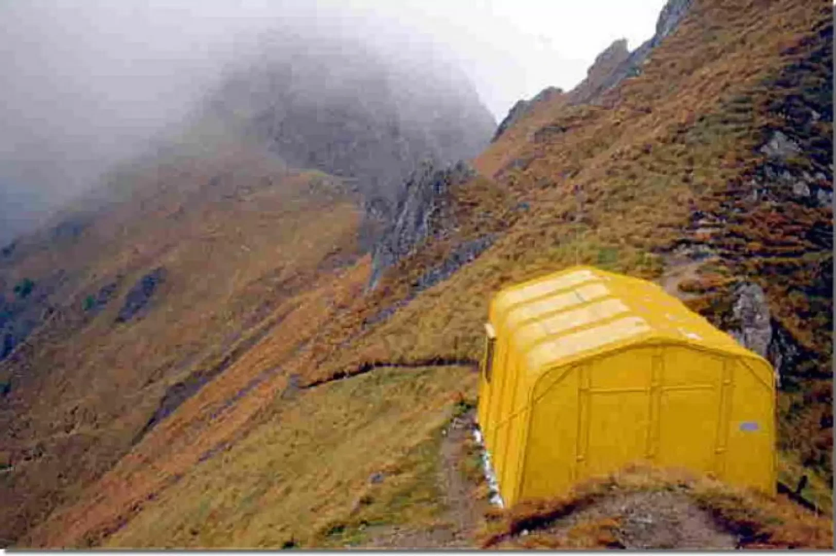
This is an artificial forecourt created during the works for the construction of the tunnel for the Edolo hydroelectric generation and pumping plant: in fact, you can still see the arrival building of the cableway for transporting personnel, and also the arrival of the large material cableway for transporting aggregates. Now follow the building-site track, cross the stream that descends from the Gole Larghe pass, and reach a new forecourt, where the "window n° 1" of the Avio-Edolo tunnel opens out; to reach the Aviolo hut, the "official" path branches off to the left in the direction of the valley of the Gole Larghe pass; if, on the other hand, you want to reach the lake without passing directly in front of the hut, continue along the former building-site track that reaches Lake Aviolo from the orographic left of the valley. The time required from here to the lake is about 15 to 20 minutes, regardless of which route you choose. When you reach the dam at Lake Aviolo, if you want to reach the 'Sandro Occhi' hut, simply descend to the left for about a hundred metres; to head towards the Gallinera pass, instead, continue along the mule track that runs alongside the lake until the stream flows into the lake itself, then, keeping to the orographic left (there is a similar path on the orographic right), follow the path, which is well signposted. We first reach the building (on the opposite side of the valley from ours) of the former malga, now restored by the Adamello Park and used as a wildlife observatory and/or environmental education room, then continue, still standing on the boundary between the flat area and the beginning of the slope; at the grassy slope with little tree vegetation, the site of the last offshoots of the lateral moraine, we turn right and climb along a very steep path with many hairpin bends. Once the steepest part has been overcome, stretches of friable moraine of small granulometry begin, without vegetation; continue until below the rock step, then diagonally from left to right (orographic) enter the narrow and steep gorge; after less than a hundred metres of very steep ascent, you reach the Gallinera pass, with its direct view of the Valcamonica: Maonno - Sonico area. Continue to the left on a half-steep (steep) track and in five minutes you are at the Valerio Festa bivouac; all around, however, you have to be very careful because you are on a summit with overhangs in every direction.
.