Forcola Pass, from Voga

Edited by:
Marco Bonati
Updated at: 03/09/2024
Access
From Milan to Novate Mezzola along State Road 36; just past the railway station, turn left under the tracks and follow the provincial road 'Trivulzia' to Gordona. In the direction of Mese, just past the bridge over the Crezza stream, take the steep climb to Menarola on the left; the road is long and narrow and connects all the hamlets that make up the municipality of Menarola. Car park at the hamlet of Voga.
Introduction
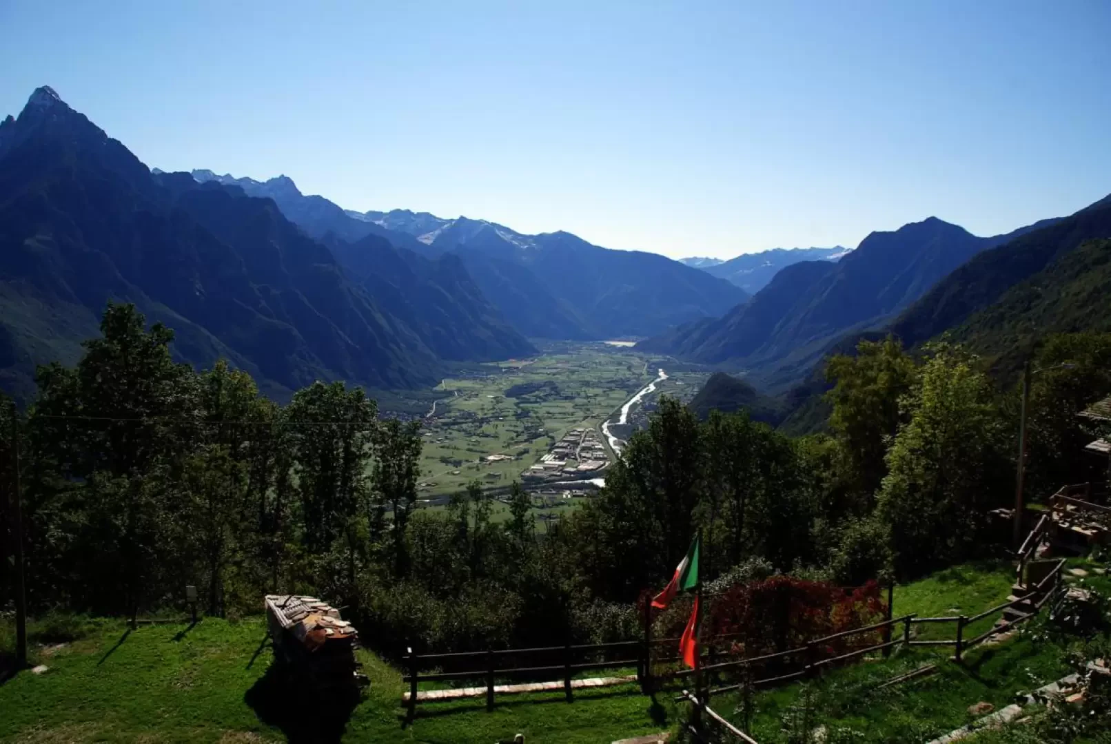
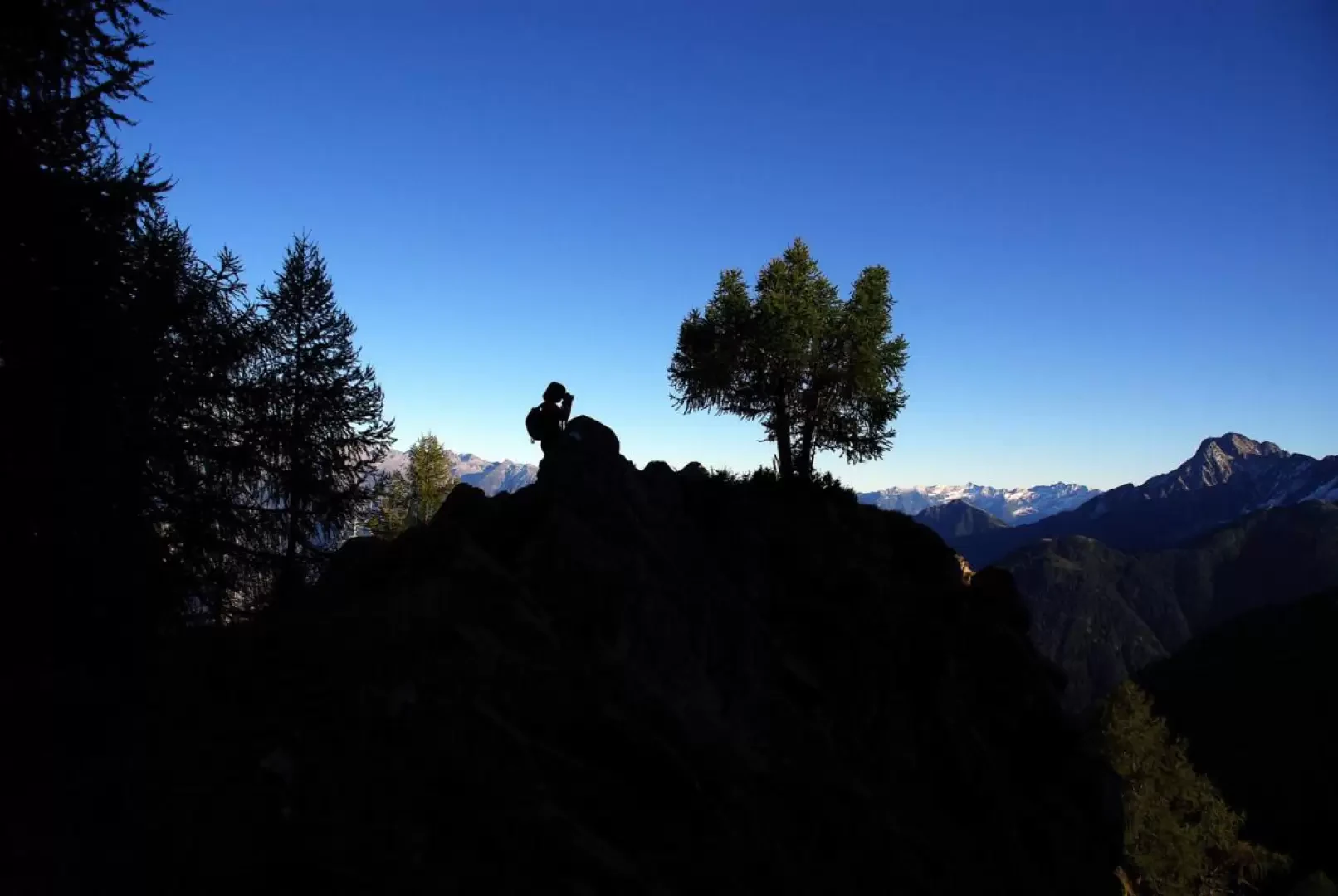
A very long hike, which, after reaching the Italian-Swiss border pass of the Forcola (much used for merchant exchanges until the opening of the Spluga Pass road) takes a wide loop through the scenic alpine pastures on the ridge at the southern edge of the Forcola Valley. Continuous views of the Masino-Bregaglia peaks and the north face of Pizzo di Prata.
.Description
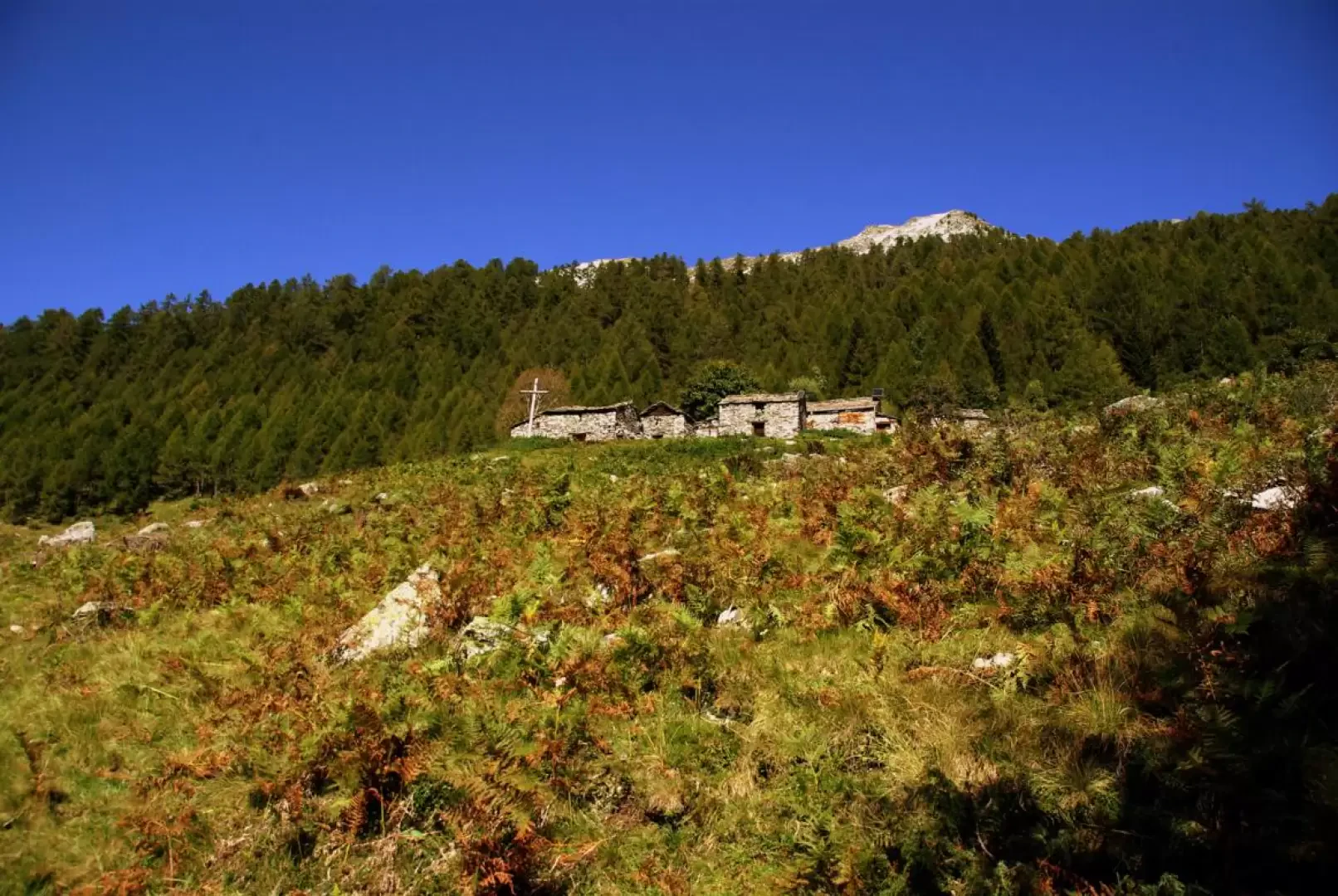
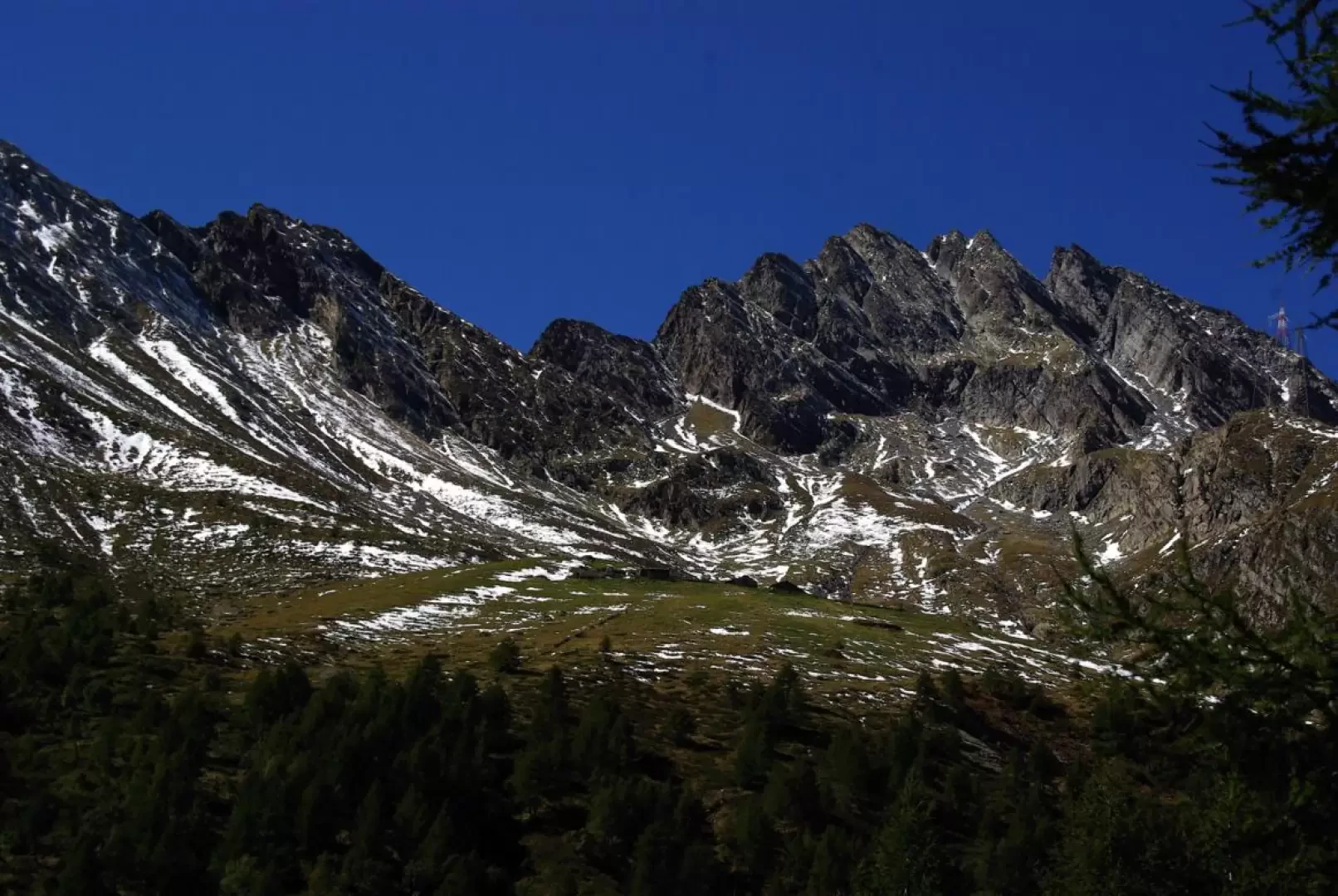
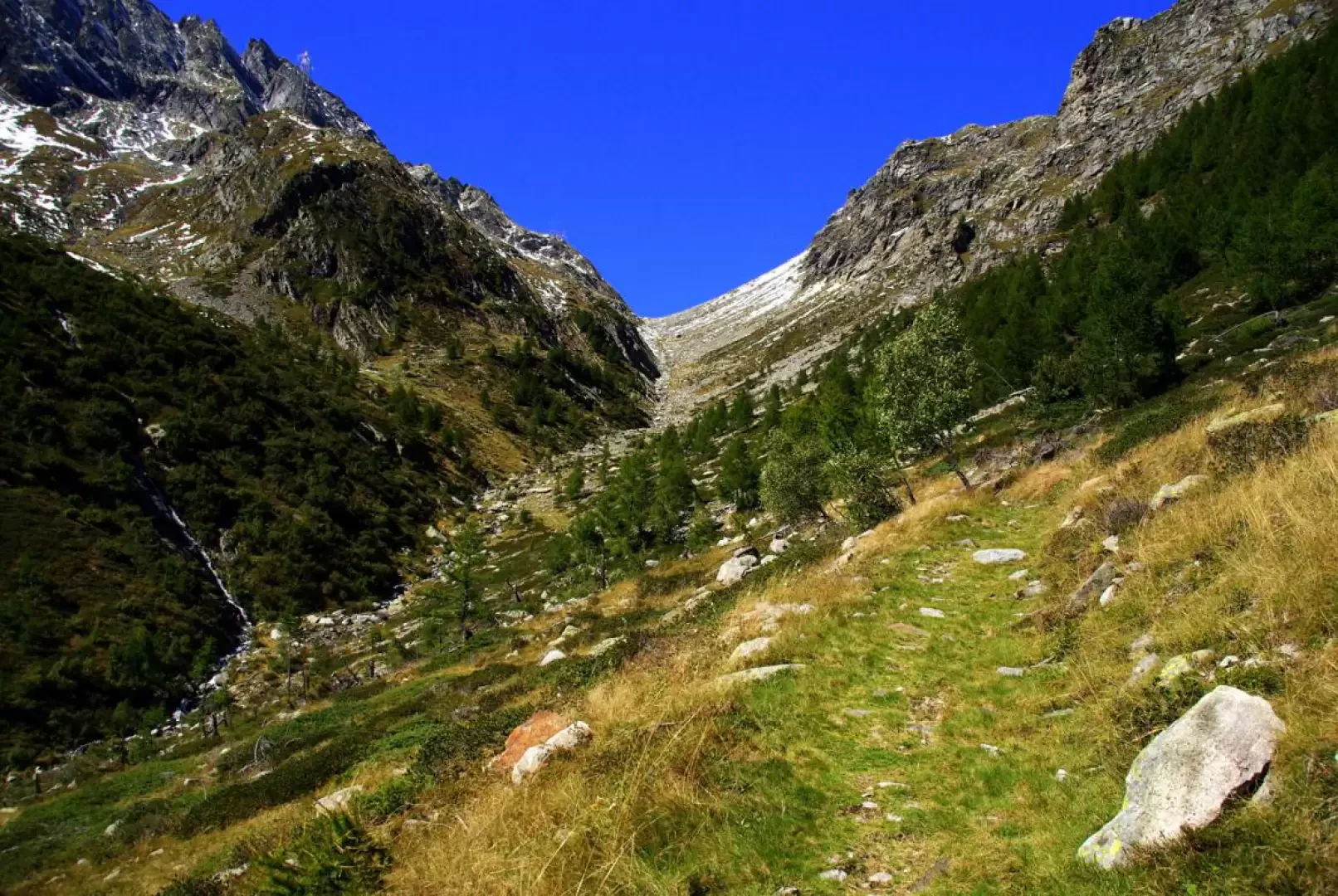
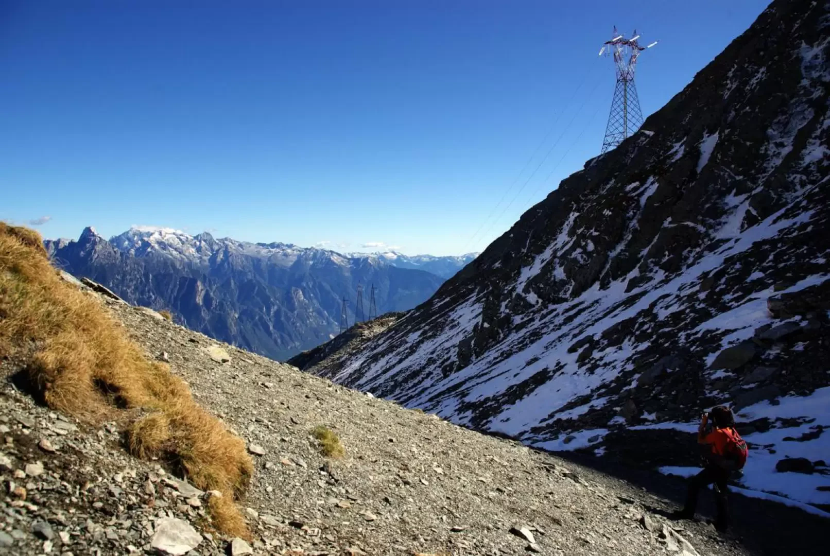
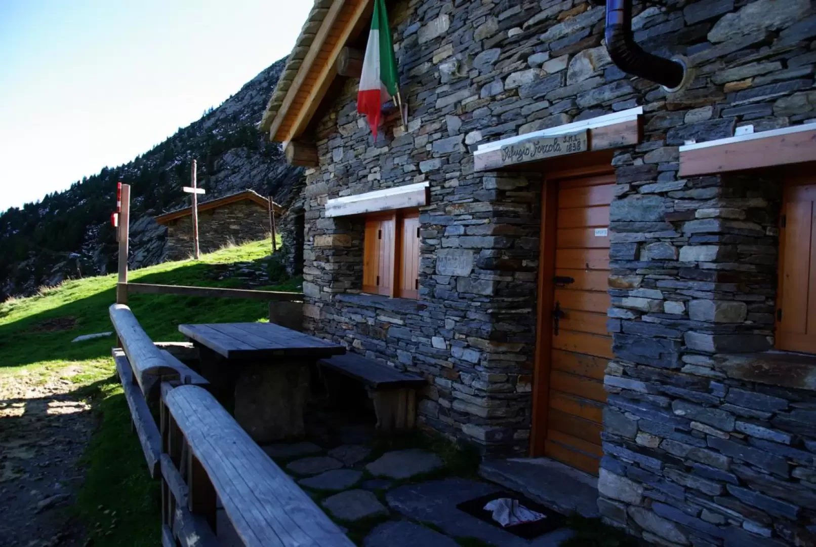
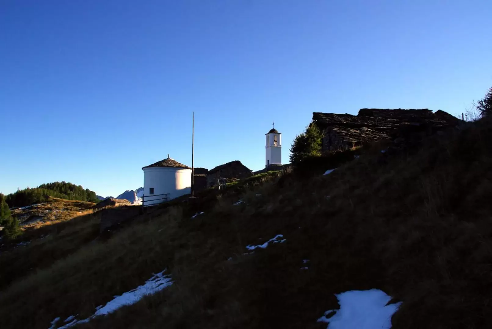
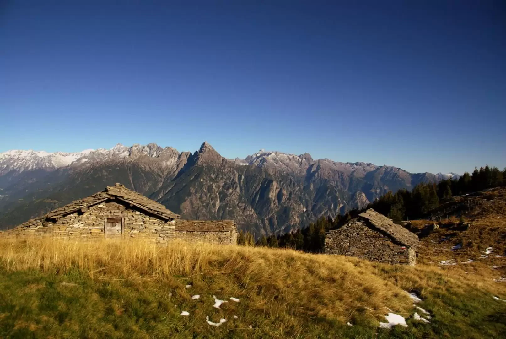
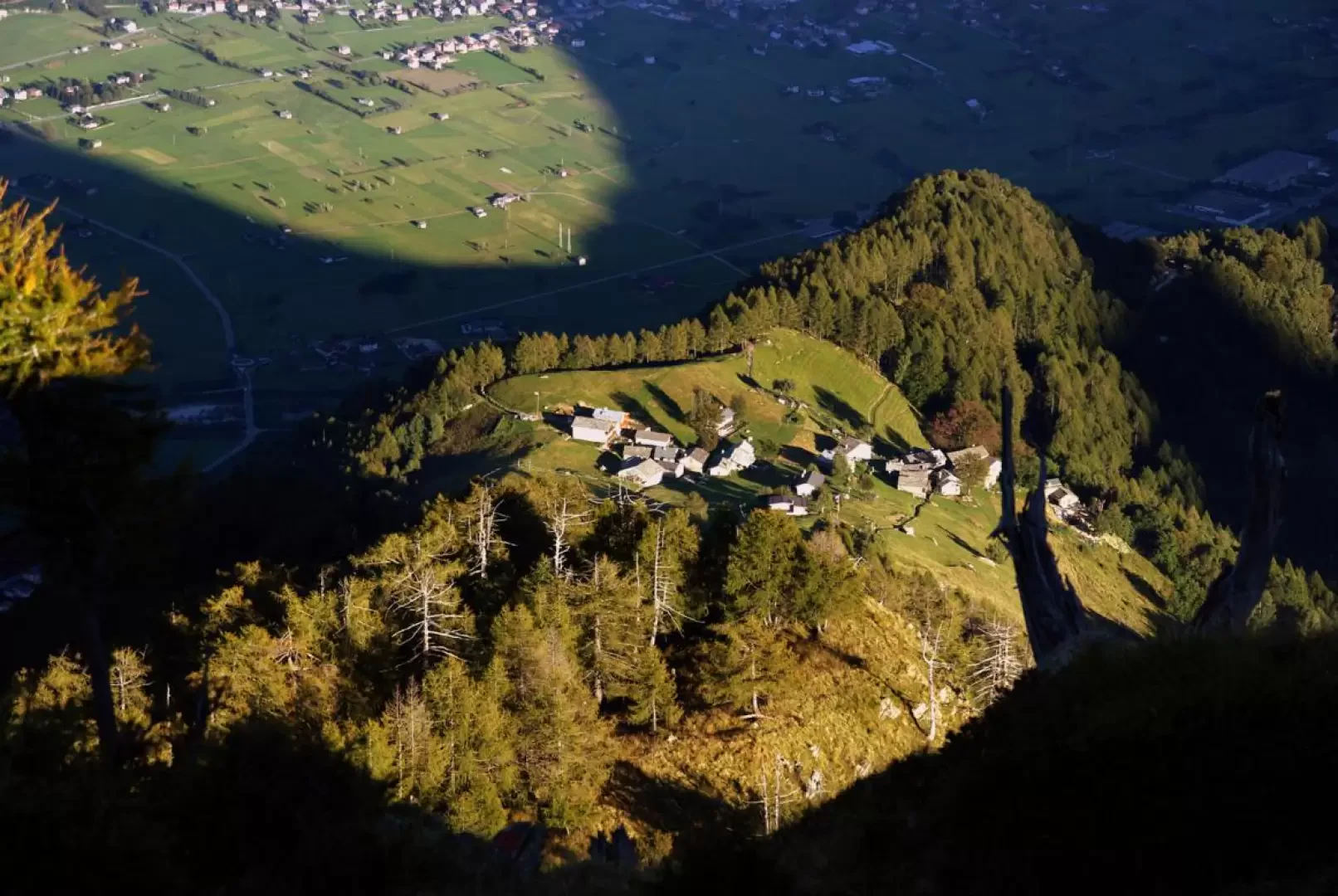
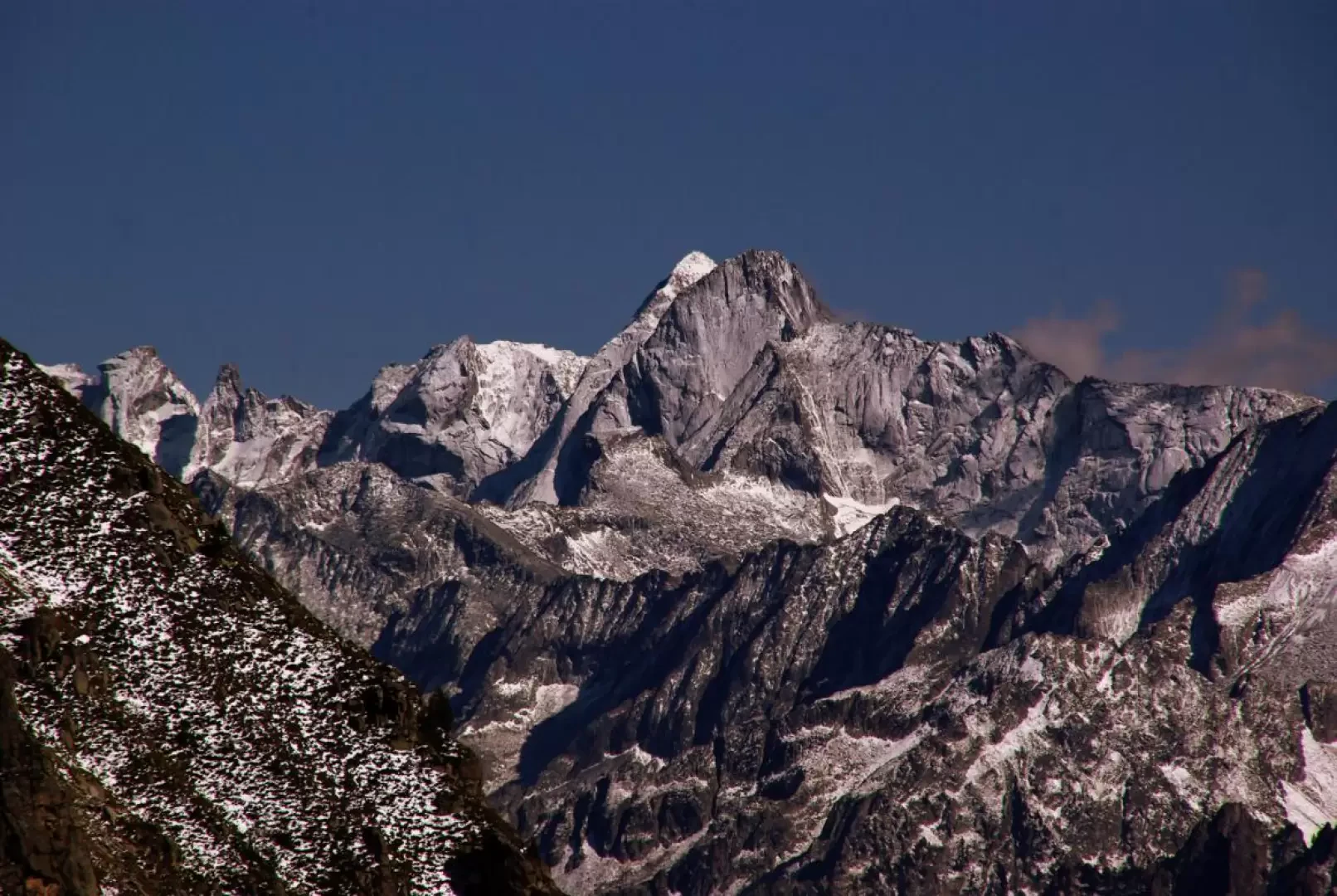
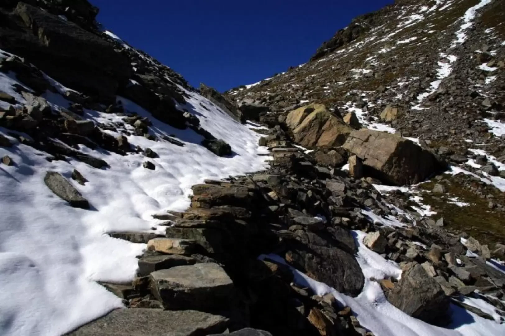
From Voga 1057m, continue for a short distance on the asphalted and cemented forest track (closed to the unauthorised) to Alpe Cigolino; near a large high-tension pylon, the path for Passo della Forcola branches off to the left - indicated -. The ascent through a sparse broadleaf forest leads to the last few metres of the forest track to Dardano 1334m: from the parking area, the path branches off again and, along a barely noticeable little valley with larch trees, reaches the panoramic terrace of Alpe Buglio 1544m. The route continues with a long, easy traverse - sometimes up and down - that reaches the valley floor near an aqueduct outlet about 1800m [Bivio per l'Alpe Forcola]. The valley becomes completely stony and the track climbs the right-hand side in hairpin bends; then, at the only remnants of the medieval mule track, the slope softens and reaches the Forcola Pass 2226m. Limited views towards the Swiss Forcola Valley and the Mesolcina mountains. Back at the crossroads near the aqueduct, turn right and soon, among the pastures, you reach the buildings of Alpe Forcola 1838m (the first hut you come across is the Bivacco Forcola, owned by the municipality of Menarola, well furnished and always open). Clear indications point to the long traverse to Alpe Scima: it begins with a scenic flight of steps and continues with a slender up and down that takes in all the numerous ravines of the slope. When you reach Alpe Scima 1875m - characterised by its small round church and isolated bell tower - follow a grassy track on the vast plateau suspended over the Pilotera valley (a side valley of the Bodengo valley) and reach the thin ridge that precipitates towards the plateau below with Alpe Cermine 1346m (the path is initially very exposed and delicate with a few isolated rock steps, then the track eases off a little and follows a sparse wood). In the absence of any signposts, before reaching the Cermine huts, we gradually turn left through the pastures until we reach an obvious path that we follow to the left again. You immediately enter a dense and very dark spruce forest by following a sort of descending corridor; in a damp woodland environment, you begin a very long traverse up and down through many gullies until you reach the main furrow of the Valle della Forcola: a series of tight hairpin bends leads you to ford the Crezza stream. On the other bank, climb up to join a wide mule track that, followed for a long time to the right, leads to the initial forest track at the second hairpin bend above the car park.
Galleria fotografica