Ignaga Pass

Edited by:
Franco Pelosato
Updated at: 15/03/2025
Access
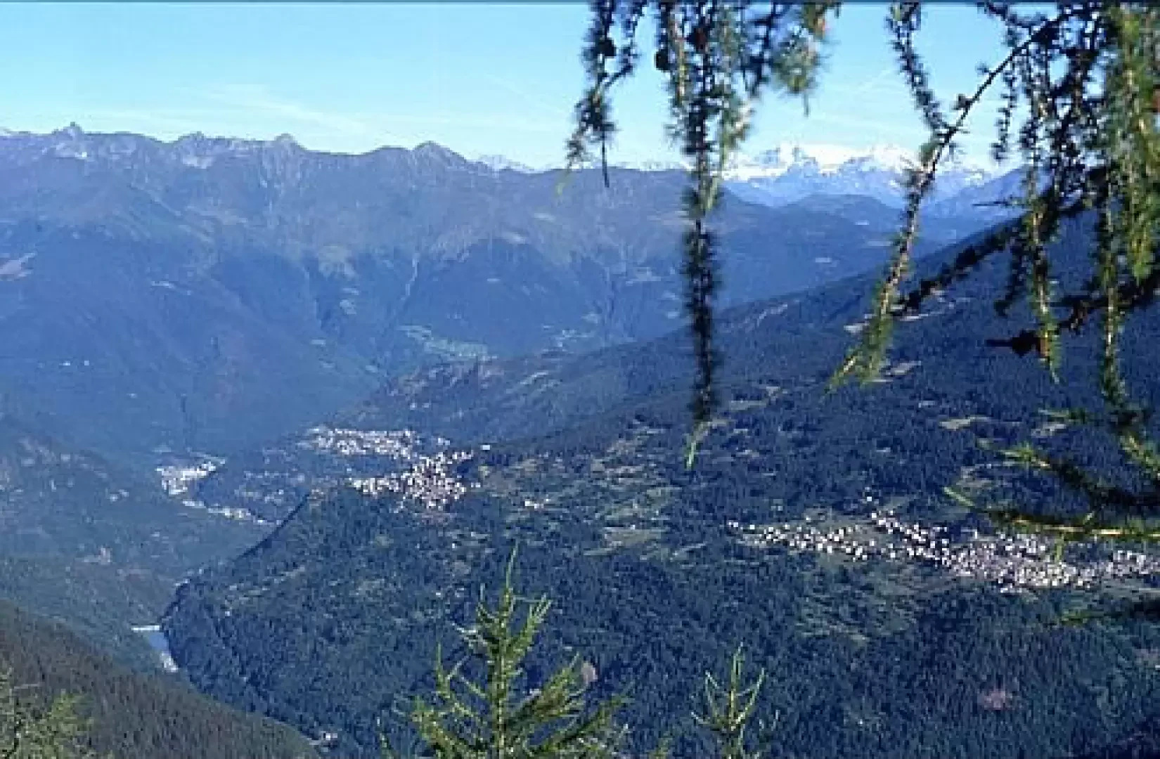
One of the starting points, on foot, for reaching the Ignaga pass via the Campo pass, from Valcamonica (province of Brescia) is Rasega - a locality in the hamlet of Valle in the municipality of Saviore dell'Adamello. To reach the locality of "La Rasega" take state road 42 as far as CEDEGOLO, then turn right onto provincial road N° 6 for Fresine and Valle (the junction is located immediately after the bottleneck in the centre of Cedegolo; not to be confused with the second junction, for Cevo and Saviore, which is located further on, in the village of Demo). The route climbs for about 10 km (at Fresine continue straight on) and then, after the hamlet of Valle, continues along the valley on a conveniently level tarmac road for another 2 km or so until you come to a group of farmhouses and a small football field, where you can park: either immediately before the sports field or immediately afterwards.
Introduction
A hike that takes place, as far as the Campo pass, along a convenient military "mule track" obtained before the 1915-1918 war from an ancient route that dates back to prehistoric times, and which in later times, until the 1950s, was decisive for the economy of the municipalities of Valsaviore, Paspardo and Cimbergo in that it allowed the use of the mountain pastures beyond the "Campo pass", even when these were in a different state. From the Campo pass onwards, the trail becomes more appropriately alpine, with a short equipped section.
Description
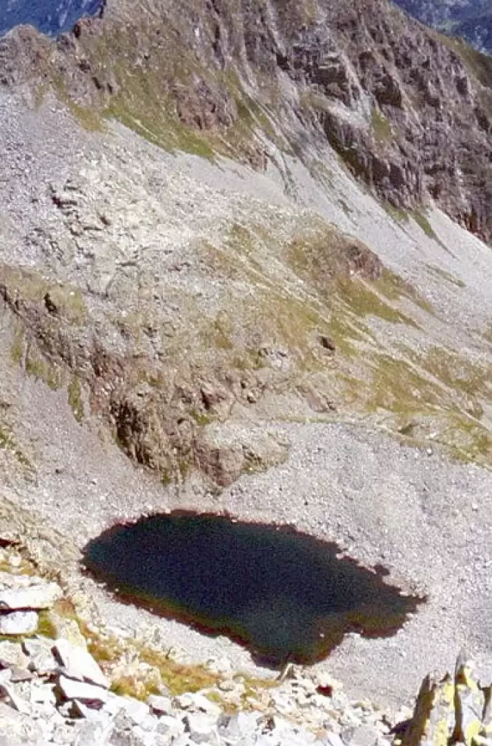
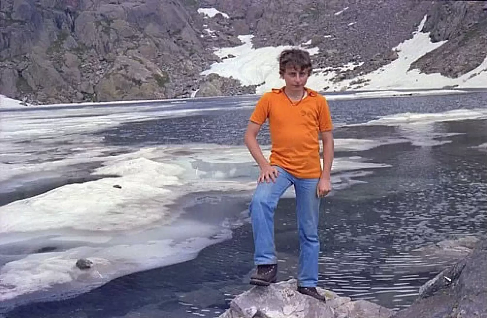
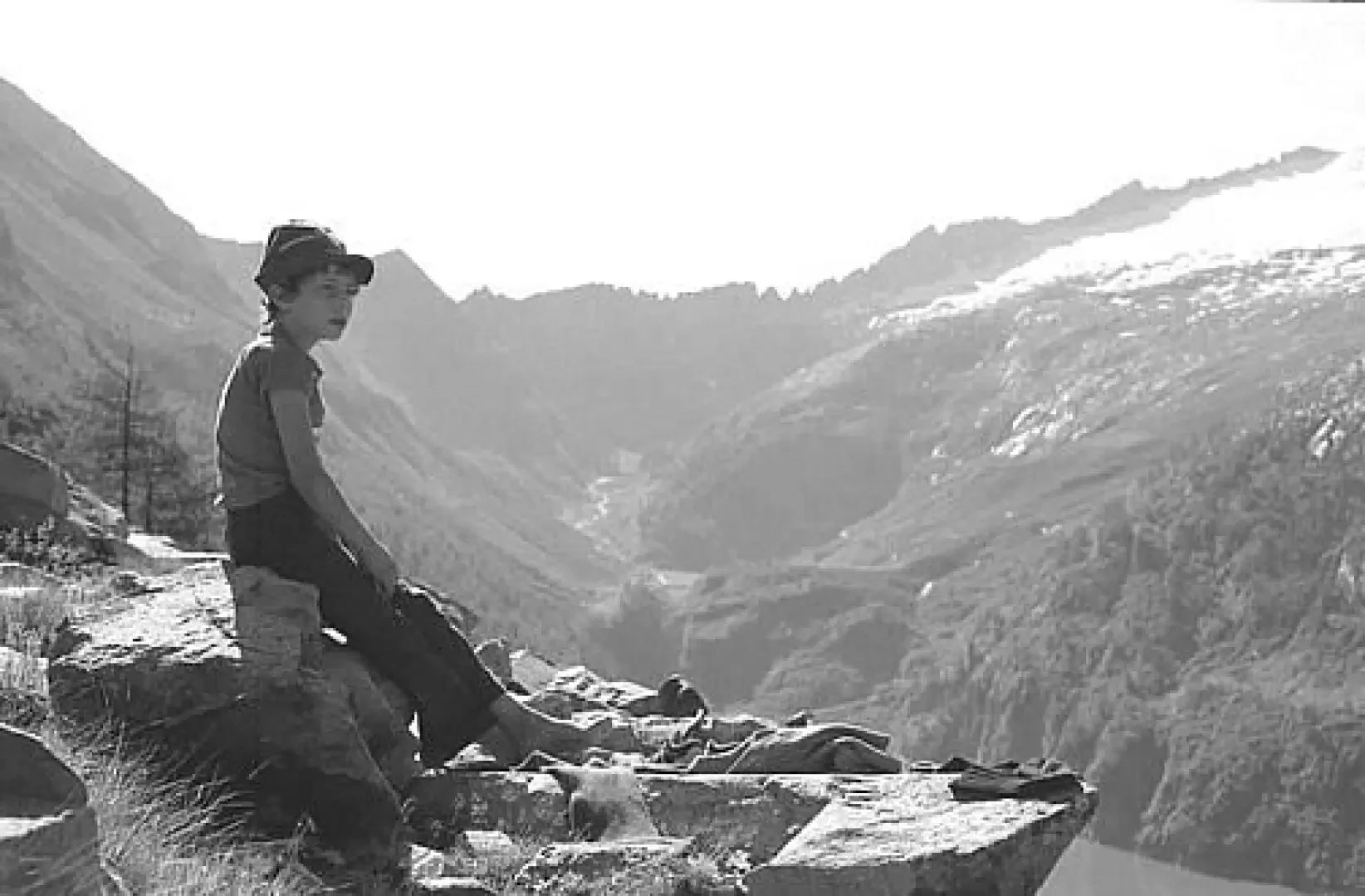
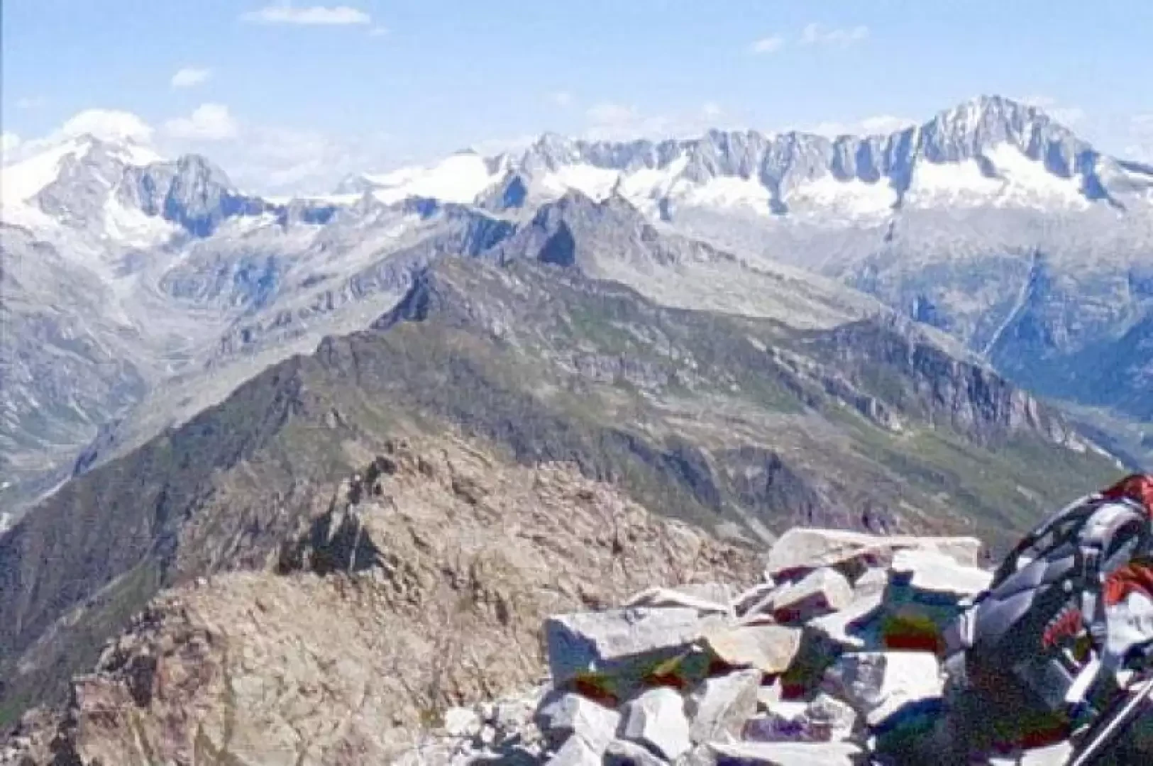
The trail starts from the clearing immediately before the sports ground, cross the Poja stream over the carriageway bridge, then turn right down the valley and then immediately left, (there are signposts with the words passo di campo). The path (mule track) is well signposted by the CAI and bears the No. 20 marker; this was the route to reach the Giudicarie valleys from Valsaviore and was therefore also frequented in past centuries by commercial traffic; it is currently still suitable as a bridle path but would need some work. It zig-zags its way through the dense fir forest (excellent for mushroom searches); you pass by the Campellio malga (baita de Campéi - currently the baita is not used) after about an hour's walk - 1607 m; from here, proceed to the right of the grassy clearing. After another twenty minutes or so, you pass by a boulder with five crosses inscribed on it, in memory of the death (shooting) of five soldiers, which occurred during the war of liberation, in circumstances that created great controversy and conflict between partisans and the local population. Further on, after an hour and forty minutes from the departure from the Rasega, we come to the junction of the path to Lake Arno, with CAI signpost No. 20A (we are at an altitude of about 1870). At an altitude of about 1980, there is a junction for Adamé, path sign no. 33, which is now little used; this path, which is completely flat, was once known as "la vià de Stuchi", as it was built during the construction of the hydroelectric works for the tunnel that brings water from Adamé to Lake Arno, and initially the work was carried out (or commissioned?) by the Stucchi-Prinetti company on behalf of the GEA (Società Generale Elettriche dell'Adamello). Towards Adamé, the path had numerous completely artificial, timbered sections to cross particularly impervious areas, which have now been completely destroyed since the 1950s, so it is not recommended to use it. After a quarter of an hour's walk and having 'circled' around Monte Zucchello, (the path has a downward slope for a stretch), you are already within the 'Arno basin', and you reach the junction of path no. 20B coming from Lago d'Arno (altitude approx. 2000 m). From this point, the path is called the 'traversera' path because it crosses longitudinally the entire right-hand shore of the basin of Lake Arno. Continuing on towards the Campo pass, after about 25 minutes you pass an artificial clearing made of dry stone walls where the route of an inclined plane (funicular railway) is still clearly visible, connecting the road level with the Alpine barracks below during the 'Great War'; it can also be seen that the part of the barracks towards the dam still has its walls, while the part on the Campo pass side are completely ruined, as the latter part was demolished by an avalanche in 1916 that caused numerous deaths among the Alpine soldiers. As you pass Traversera, you can admire the grandeur of the mountains facing you, namely: - from right to left - cima Barbignaga, cima Sablunera, which dominates the entire left-hand side, then monte Frisozzo (2899 m), monte Re di Castello (2891 m) and finally the sega d'Arno, and then, on the opposite side: the corno della Vecchia and monte Campellio. Along the path we also come across (about 40 minutes after the junction of path no. 20B, at an altitude of about 2090 m) a stone which is part of the pavement with the inscription: "GIOAN ANDREA BOLDINI RSTUAVAT STRADA ANO 1792". i.e.: 'Giovanni Andrea Boldini restored (the road) in the year 1792', testifying to the importance of this communication route to Trentino in those days. After about half an hour's walk, at the stream (dry from late July onwards) which descends from the valley between Monte Campellio and the corno della Vecchia, we arrive at the junction of the CAI path signposted No. 89A (it is this latter path, coming from the lake, which joins our mule track - signpost No. 20 -). Finally, after another half-hour's walk, we reach the Campo pass (2288 m); here there are the remains of several military works, especially on the last limestone spurs of the Sega d'Arno, on our right; in particular trenches and tunnels dug into the rock with the accesses on the Lake Arno side and with the weapon emplacements on the Val di Fumo side, as the pass was a state border until 1918 and therefore a war front until the same date. At the Campo pass, we turn left onto the path [1], for a certain stretch it is horizontal and coincides with an old trench, then it descends to go round a rocky promontory, then climbs steeply and after a few hairpin bends tackles, with the help of a few sections of fixed ropes, the rocks from which the outflow of the small Avolo lake (2393m) above descends. We continue the ascent, partly on moraine, partly on dry grassland, staying on the outer edges of the basin containing the small lake; we then tackle a steep morainic slope studded with drystone walls, the remains of barracks from the First World War, until we reach the Avolo pass. The Avolo pass is a shallow incision on the rocky spur that delimits the Avolo basin to the north and extends eastwards almost perpendicularly to the Val di Fumo, also delimiting the basin of Lake Campo; it is all surrounded by the remains of artefacts from the Great War. Now we continue on an ex-military mule track with ups and downs, bypassing some rocky spurs, until we reach the Ignaga pass: this is a long avalanche that interrupts the peaks separating, on the orographic left of the Adamé valley, the Valsaviore from the Fumo valley, between Mount Campellio (sima alta) and Mount Foppa. Here, too, on the pass, there are remains of trenches from the Great War; in the local chronicle of the war, it was pointed out that although the Ignaga pass was, among the passes of the mountain range to the left of the Adamé valley, the widest and the one closest and most direct on the villages of Valsaviore, it had only a modest garrison, compared to the others. The reason for this was that, as the other passes did not have military cable cars to reach it, no high-ranking officer ever bothered to climb it on foot to assess the situation: what a tradition of... felons!
Galleria fotografica