Caldenno Pass
Access
From Milan to San Pietro Berbenno along the state roads and ; at the crossroads near the railway station, turn left towards Berbenno and start climbing in wide bends to the crossroads for Postalesio and Polaggia. Continue right and you will soon come to the narrow streets of Polaggia: following the brown arrow signs, take the mountain road to Prà Isio. The track is always asphalted or cemented, but very narrow; after the last few hairpin bends - some to be completed with several manoeuvres - you come out onto the wide meadows of the Prà Isio meadow. Continue on a comfortable dirt track to the square where the public road ends.
.Introduction
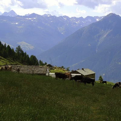
Great and rather strenuous hike, combining three valleys in a single tour, with a large difference in altitude due to the repeated descents and ascents. Great botanical and faunal interest (deer, chamois, marmots) in a man-made environment (two large alpine pastures still loaded), but all in all discreet. Very panoramic on almost the entire route of the Alta Via della Valmalenco.
.Description
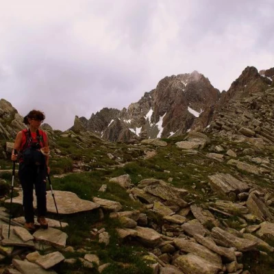
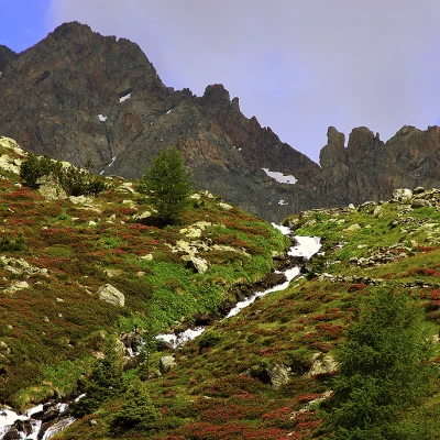
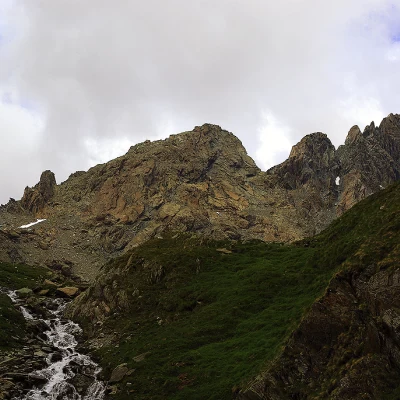
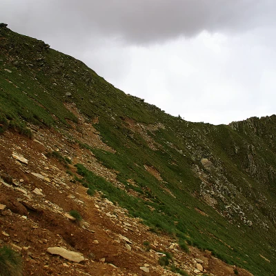
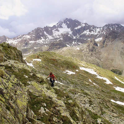
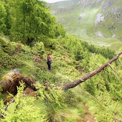
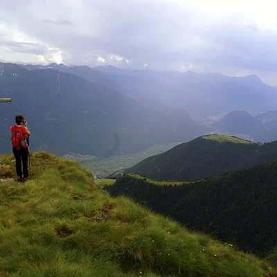
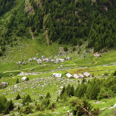
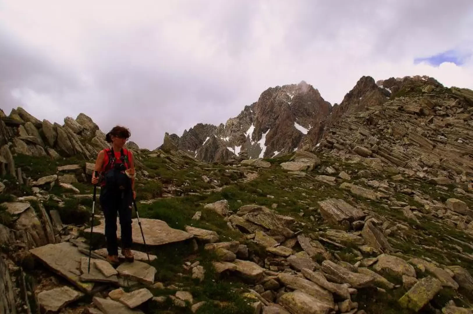
From the car park, continue along the forest track, which is forbidden to unauthorised traffic, and, with a slight ascent through a beautiful spruce wood, you will reach the wide meadows of Alpe Caldenno 1811m; just beyond the first huts, at the hairpin bend, leave the track and take a path to reach the bridge near the Consortile Dairy. Having finally crossed the stream, continue along the valley among the numerous well-restored huts and then climb up among the rhododendrons to the pastureland plateau of Alpe Palù 2099m. The path continues to climb in hairpin bends along the stream, to come out in the limited terminal amphitheatre at the foot of the red landslides coming from the Corni Bruciati; following the indications of a signpost, turn right and - continuing by sight - climb up to reach a visible horizontal landslide that we follow until we reach the Caldenno Pass 2517m (small stone cairn and marker with arrows). At this point, we are overlooking the last terraces of the Valle Airale - the Valmalenco valley - at the foot of a rocky ridge heading south-east that we must contour without any signs. We descend, always moving to the right, until we find an easy passage through the scree; alternating between walking over stones, pastureland, boulders and snow, we arrive at about the bottom of a hollow (Conca di Zana) above the visible mountain pasture of the same name. At an altitude of around 2200m, the yellow-triangle signs of the Alta Via della Valmalenco cross: we follow them steeply uphill to a false pass, identifiable by two low cairns; from here, we proceed on a false level on the upper terraces of Zana, parallel to the border ridge with the Valle del Bosco - Alpe Colina. [This ridge can be climbed in its entirety, alternating between goat tracks and sections of easy climbing on boulders and short, articulated walls, max grade II]. At an altitude of 2417m - the lowest point of the ridge - you leave the tracks of the Alta Via to take the little path that quickly descends to Lago di Colina 2096m. To find the signposts for the return journey, it is necessary to go round the lake shores on the south side and start climbing up the steep slopes of Monte Colina in the sparse larch woodland; a long falsopiano transfer overlooking the Valtellina leads up to the dominant Croce Capin 2278m: this can be reached on very steep grassy tracks that zigzag up the coast. From the very panoramic rocky pulpit of the cross, the path - very narrow and very exposed - continues in a semi-plan to the right, re-entering the groove of the Valle Postalesio. Having entered a steep grassy gully, it descends rapidly, alternating the path of the banks according to the greater availability of tree protection; when the slope decreases, the path becomes picturesque in a damp larch grove carpeted with rhododendrons and gradually reaches the valley floor just at the small chapel of S.Margherita at Alpe Caldenno. Retrace the forest track back to the Prà Isio car park.
General information
Signposts:red/white, yellow/red, yellow triangle, red/white
Type of route:circular
Recommended period of time: June, July, August, September, October
Objective hazard: narrow, landslide-prone and exposed paths
Sun exposure: south
