Paraj Auta, from Pavone Canavese Castle
Access
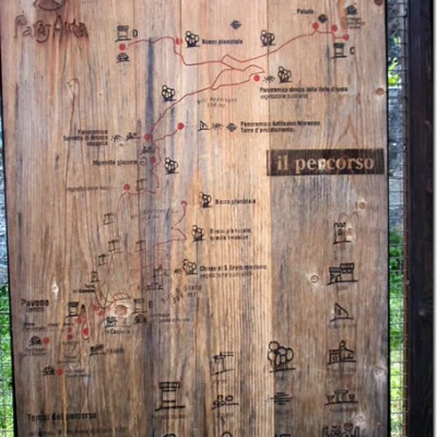
At the motorway exit in Ivrea, turn right onto the SS565 and at the first traffic lights turn right again onto the provincial road (Via Circonvallazione). After passing through the built-up area of Pavone Canavese, at a traffic light, turn left onto Via Marconi. Continue as far as the next set of traffic lights near the church of S. Rocco, where you turn right into Via Dietro Castello. At the next set of traffic lights, turn left towards the Castello di Pavone. Park right near the notice board at entrance B of the "Paraj Auta".
.Introduction
The "Paraj Auta" (high wall) is a modest elevation (354m) located between Pavone Canavese and Ivrea (Bellavista district).
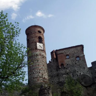
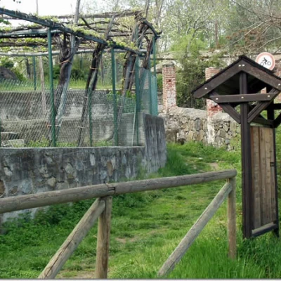
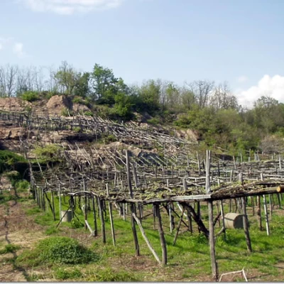
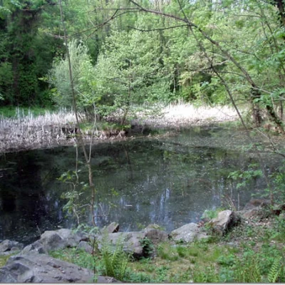
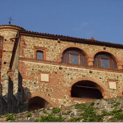
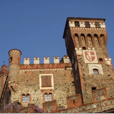
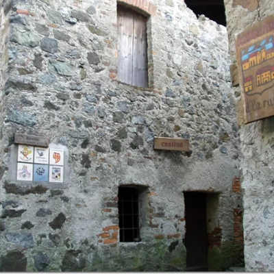
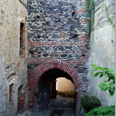
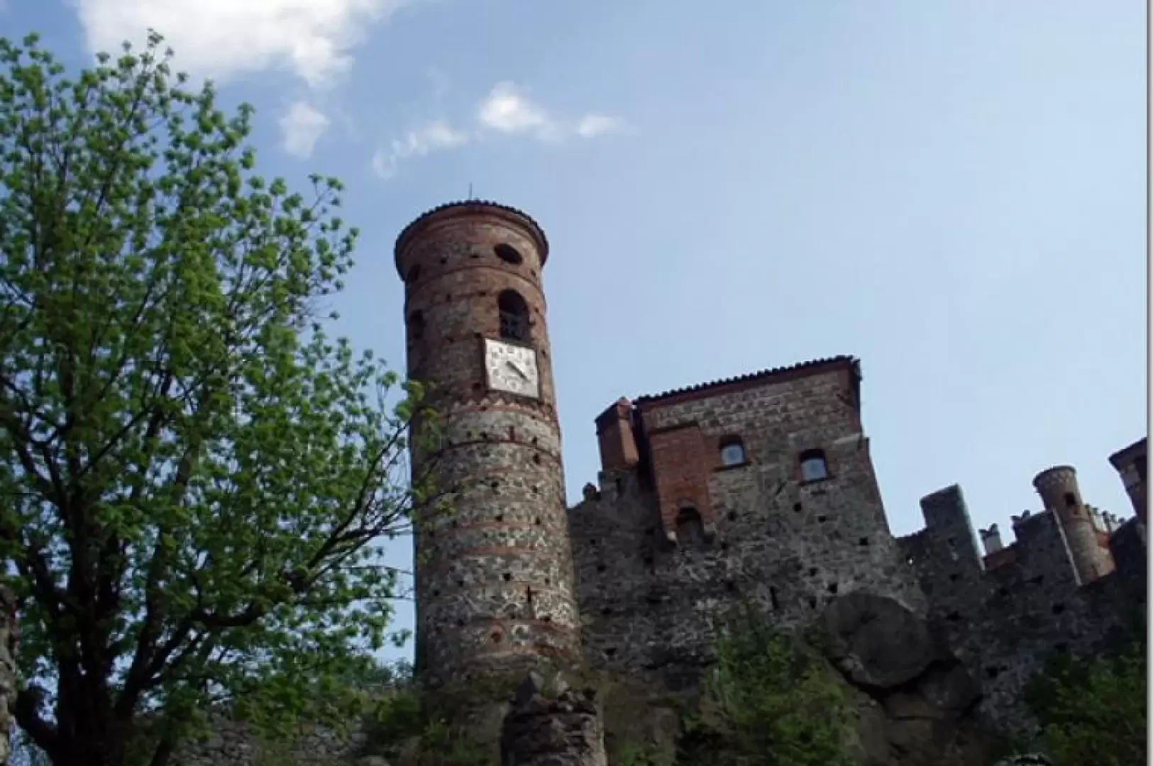
The hill's conformation, of basic granulite, is the effect of the action of the Valle d'Aosta glacier over the course of the various geological eras. From its four main humps (Brich San Grato, Brich Bonfurnera, Brich Appareglio and Monte della Banche) one can see the morainic arch of Ivrea and part of the Canavese plain below. The 'Paraj Auta' is for the most part exploited as woodland with several centuries-old trees and chestnut trees; the sunny areas are cultivated as vineyards (some toppie planted in the rock are interesting), while in the arid and rocky areas the 'xerotermophiles' have taken root. Other depressions, on the other hand, are covered by swamp ponds. The proposed itinerary retraces, with various ups and downs, the convenient paths marked by information posts (naturalistic, geological and archaeological) until it crosses the four main entrance notice boards. In the area there are numerous traces of the peoples who have lived there over the centuries: cup marks, watchtowers, the medieval chapel of San Grato with a hermitage and, of course, the Castle of Pavone and 'Ij Rusèt', the 'Ricetti'. Pavone Castle originates in the 9th century from several fortified walls erected as protection against Hungarian and Saracen invasions. Later, in the 11th century, the bishop of Ivrea had a square tower built. Over the centuries other buildings and towers were added until the restoration ordered by Alfredo D'Andrate (who bought the castle in 1885). Inside the castle, now equipped as a conference centre with restaurant and hotel, there is a courtyard with a well and the small Romanesque church of San Pietro. Under the castle walls are 'Ij Rusèt', the Ricetti, from the Latin 'receptum' meaning shelter, refuge, fortified place. In the Ricetti (normally used in the past to guard the harvest), people and livestock would find refuge in case of danger, passing through a tower-gate. In the first week of June, Pavone Canavese hosts the 'Ferie Medievali', historical re-enactments in medieval costumes.
Description
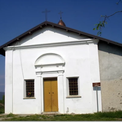
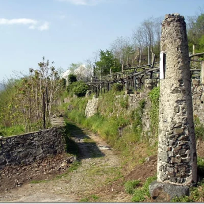
0h00' From the car park at Peacock Castle (270m) take the mule track behind the notice board and walk up it between the walls for 4/5 minutes until you come to a path marked with a large white arrow on a wall on the right. Turn onto the path, reach a picnic area and climb up the track of paved steps to the Chapel of San Grato and Romitorio (306m).
0h06' Note the information board next to the church on the vegetation of arid soils with some notes on the "xerotermophilous" species present, i.e. suitable for a hot, dry climate. With a wide turn to the left, we descend among the vineyards until we come to a mule track on the right, locally known as the "Strada del Pozzo" (Well Road), just near the eleventh (counting from the Chapel of San Grato and Romitorio) wooden cross. Taking the mule track, with a slight incline, one goes around the Bric Bonfurnera. The road makes a sharp bend to the right near a wall of ferns (there are no less than eight different species: Asplenio tricomane, Asplenio nord, Asplenio germanico, Felce femmina, Felcetta fragile, Felce maschio, Felce pelosa and Felce dolce). A few steps and you reach the Passo del Gatto (288m), where you take, on the left, a nice path limited by a low, shabby wall.
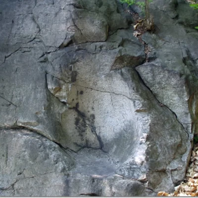
0h17' After a short ascent, you will come to the turnoff to the left for the "Sete dla Madona", the "Seat of the Madonna". The name of this modest glacial pothole (produced by the erosive action of the melting waters of the ancient glacier in Valle d'Aosta) derives from the legend according to which the Virgin Mary, who had arrived in Pavone Canavese but was expelled by the inhabitants because she was believed to be a gypsy, took refuge here before proceeding to Oropa (where she was instead recognised by the inhabitants, who erected a sanctuary in her honour). Returning to the main path, and after a further five minutes' walk, turn right following a new track indicated by a post. Passing the remains of a mediaeval watch and signal tower (flanked by a room for sheltering horses) and skirting a small marshy lake, you reach Brich Appareglio (354m) (an archaeological excavation is fenced off in the area).
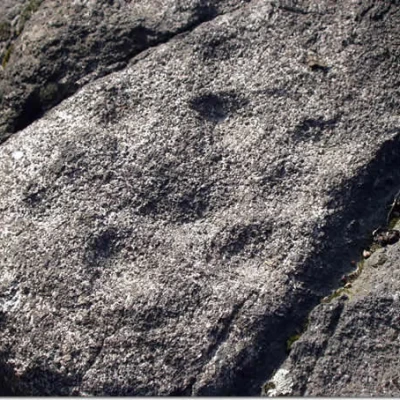
0h33' Back on the main path, turn right, downhill, and after a few minutes, on the left, there is a short diversions to some rock engravings (these are hemispherical cup-marks). Continuing slightly downhill, in the vicinity of the "Cimitero delle Lepri" (Hare Cemetery), a marker indicates on the right the diversions for Monte delle Banche (316m).
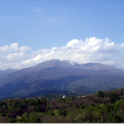
0h51' On the summit of smooth rocks, there is a fine view of Mombarone, the morainic arch of Ivrea and part of the Canavese plain below. Proceeding east-northeast, you find a path (not very evident at the start) that soon leads back to the main trail and then to Passo delle Banche (281m). We now descend to the right, in an east-northeast direction, to the Stagno di Bellavista and pass below the ruins of the Maridon Tower. Downhill, with a small stretch on asphalt, you reach the notice board at the entrance C of the "Paraj Auta" (238m; 1h08').
1h08' To return, take the dirt track to the right, towards C. Biava, and when you reach a small marshy lake, turn left onto a short path under the Maridon Tower. Having reached the outward path, return to Passo delle Banche (316m).
1h25' , leave the dirt track to the right that descends near the Fire Station, go up to the first hairpin bend and take the mule track to the right, downhill, that leads to the notice board at entrance D of the "Paraj Auta" (245m).
1h33' Returning to the Banche Pass, turn right and retrace the main road already taken on the outward journey until it crosses the road that descends from the Cappella di San Grato e Romitorio. The road ends a few dozen metres below the car park of Pavone Castle. To complete the hike, we suggest turning right and descending to the crossroads on the left with via Ricetti. Following Via Ricetti in a semicircle, descend to the Torre-Porta and the notice board located at entrance A of the "Paraj Auta", right next to the churches of Santa Marta and Sant'Andrea (242m).
2h20' In another five minutes you can climb back up to the car park of Pavone Castle, completing the excursion.
General Information
Trail:
Signposts: -Trail type: a/r
Recommended period: May, June, July, August, September, October, November
Sun exposureeast
Objective Danger:none
Exposed Trails:none
Useful Equipment: normal hiking equipment
Water: -
