Olgiasca, from Colico
Access
From Milan to Colico along State Road 36; from the exit junction, go back towards the town centre and park in the cemetery squares or at a nearby florist.
Introduction
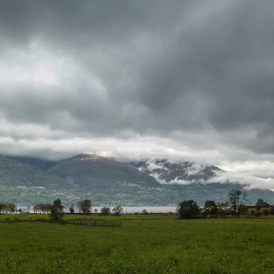
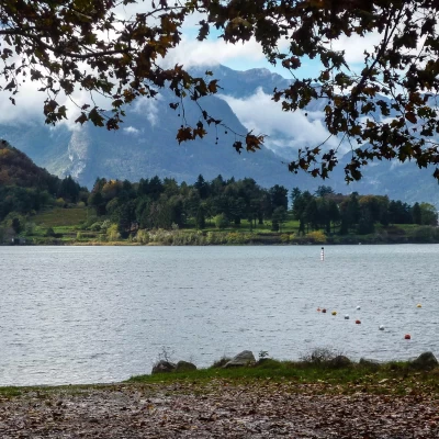
The Colico plain, situated at the northern end of Lake Como and at the mouth of the Valtellina and Valchiavenna, is characterised by the alignment of four low rocky hills at the edge of the lake: Montecchio Est 296m (hosting the ruins of a mighty Spanish military fortification from the 17th century), Montecchio Nord 272m (still garrisoned by an armed fortress from the First World War), Montecchio Sud 331m (only a trigonometric point, with a small adjustment station for shots) and the Olgiasca peninsula 370m (which collaborates to form the small and striking gulf of Laghetto di Piona). The first two Montecchi can be visited with guided tours; the other two - the destination of this excursion - are more neglected, but much more interesting for the range of natural environments they offer the visitor.
Description
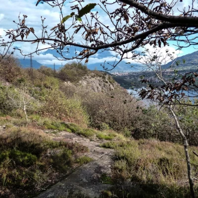
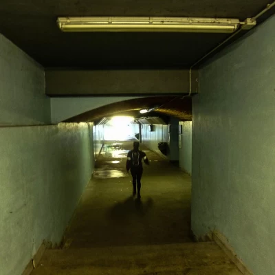
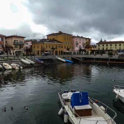
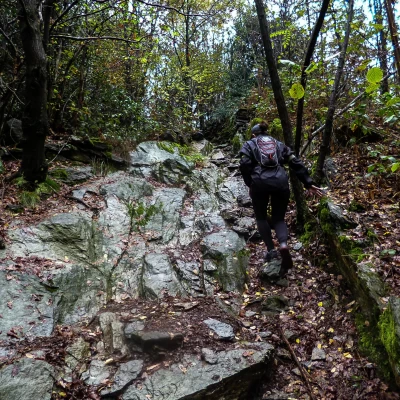
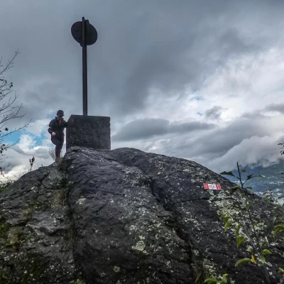
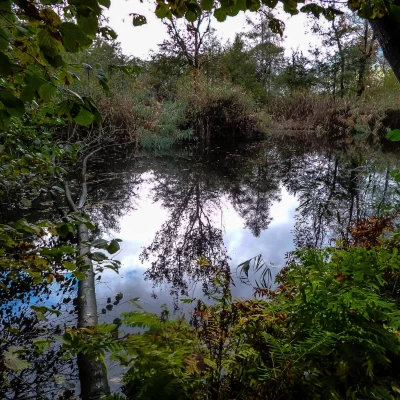
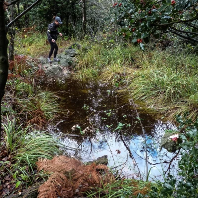
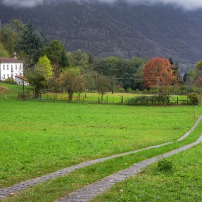
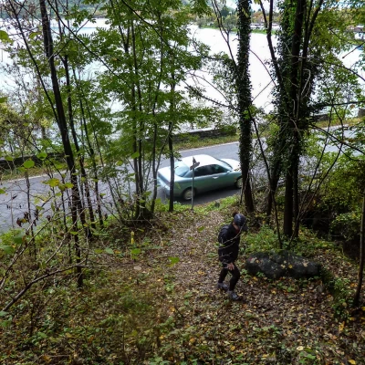
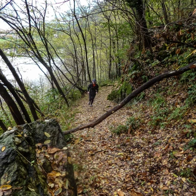
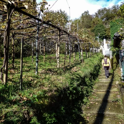
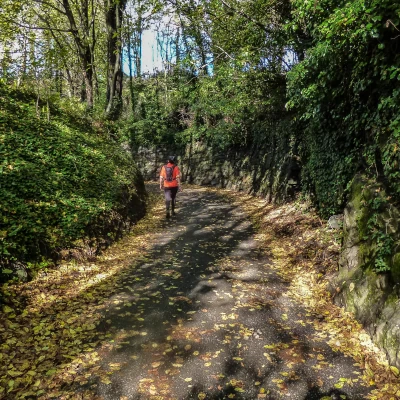
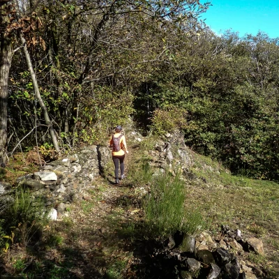
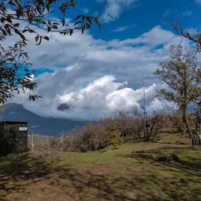
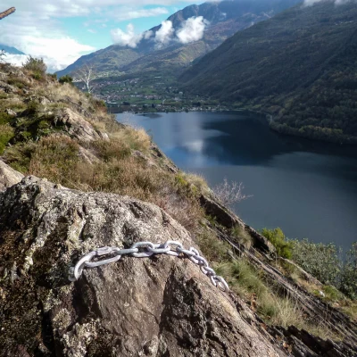
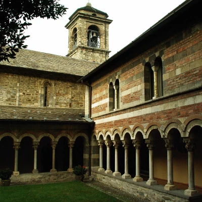
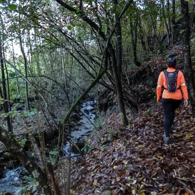
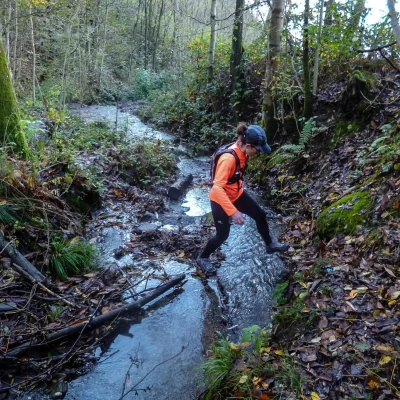
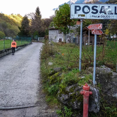
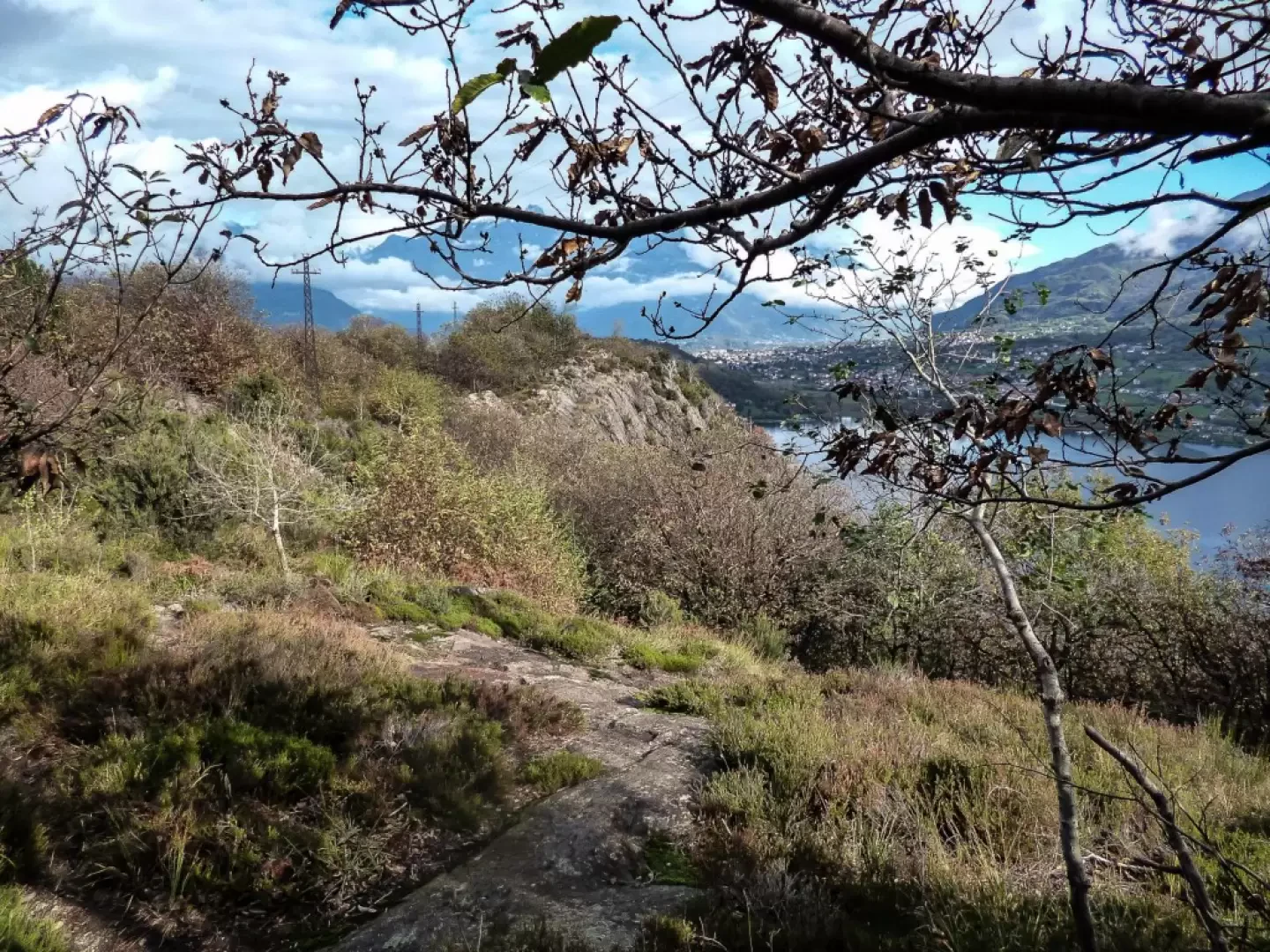
From the car park in Colico 200m from the railway station, take the subway to the small port of Piazza Garibaldi; proceed along Lungolario Polti to the entrance to the Lido: go up Via Lido and, just before the railway bridge, turn right into Via dei Ciach: follow it for about 800m until a small dirt road branches off to the right. After only 100 metres you take a small path on the left that begins the ascent of Montecchio Sud 331m; at times rocky and always immersed in vegetation, the path reaches a fork: turning left you climb up to the trigonometric point, a rocky ridge with a highly panoramic view of the upper part of Lake Como, and especially of the shores of Dongo, Gravedona and Domàso. Having made the brief diversions, return to the main path, which immediately begins to descend towards the basin that hosts the marshy Laghetto delle Canne; continue the descent until you are just a few metres from the shore of the Lario. Crossing a small ridge with a few uncomfortable steps, you skirt a wetland area until you find yourself along a road leading to some isolated houses: follow it to the right and, crossing a vast meadow, you arrive at the small tourist port of Piona. Following the edge of the grassy lido and then the boundary of some campsites, you follow a paved driveway that converges on Provincial Road 72 at the eastern end of the small lake of Piona. Cross the road and - following it to the right for a few tens of metres - you will find the beginning of the 'Strada Vegia' path. This is one of the two ancient passages (the other is the Sentiero del Viandante) that connected the villages on the eastern shore of the lake with Colico, Valtellina and Valchiavenna before the present provincial road was carved into the rock. The route is about 2 km with marked ups and downs, eventually crossing the provincial road again at Crottino, where the footpath to Olgiasca begins. Climbing a long and winding flight of steps, you reach the small church square, where a former military road with short hairpin bends begins, ending in a square among beautiful villas; a small path skirts the fence of the last dwelling on the right and climbs to the top of the hill. Serpeggiating through the woods between numerous dry stone walls and post ruins, follow the main track that, after passing a "roccolo", reaches the summit rocks 370m above sea level (on the southern edge, overlooking the waters of the Laghetto di Piona, you can see the chains of the "Sass Negher" rock gym below). The path now continues steeply downhill through the scrub until it reaches a fence (land belonging to Piona Abbey) which, followed to the left, leads to the parking area of the religious centre. From an artistic point of view, a visit to at least the church and cloister is very interesting. Beginning the return journey, follow the cobbled access road to the abbey and, after a few hundred metres, leave it for a steep mule track to the left that shortly returns to Olgiasca; through a suggestive maze of alleyways you return to the main access stairway to the small hamlet. Retrace your steps along the "Strada Vegia" and, having reached the provincial road in Piona, continue uphill under the railway (recent rock climbing wall) and across the construction site roads for the maintenance of the Highway 36. Near a wash-house with a fountain, a neglected little path begins in the woods that leads up a small valley with a stream, following the slopes of Monte Legnone at its base. Passing a few isolated mountain huts and a few active farmsteads, you come out onto a carriage road at Posallo 413 m; following the signs of the Sentiero del Viandante (Wayfarer's Path) to the left, ford the Perlino stream to reach a timber storage area. Take the first track to the left that descends along the watercourse (descending section of the Sentiero dei Torrenti) and head, amidst an increasing number of houses, to the locality of Villatico; following the Vicolo Madonnina and the Via Villatico, descend quickly to Colico, until you cross the Via Nazionale. Follow the pavements to the right and you will soon reach the railway station square.
