Old hamlets of Morbegno
Introduction
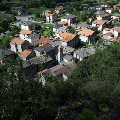
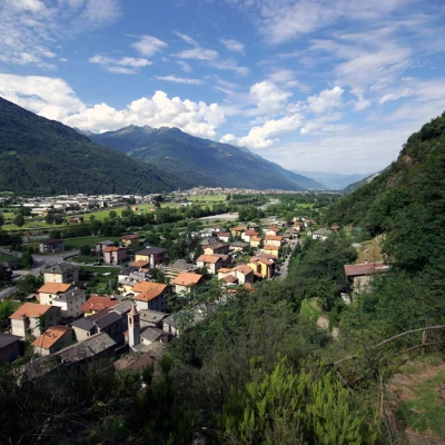
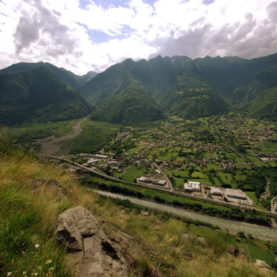
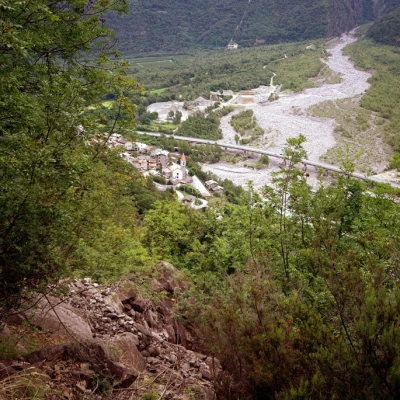
A hike that is doable all year round, but annoying because of the heat in the summer season. It does not have a culminating destination, but is worth the effort for the fact that it follows ancient access routes to isolated hamlets in the woods, amidst vanishing signs of the work of farmers over many generations. If the day is clear, the panorama over the Bassa Valtellina is very wide; if the ground is covered with wet snow (see altitude), care must be taken in some passages.
Description
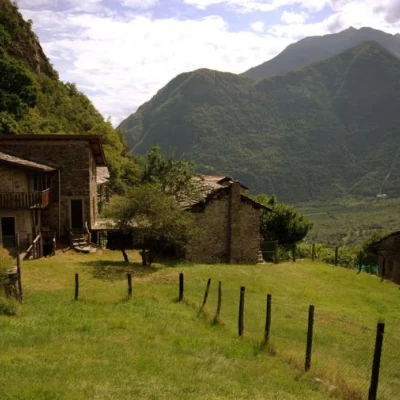
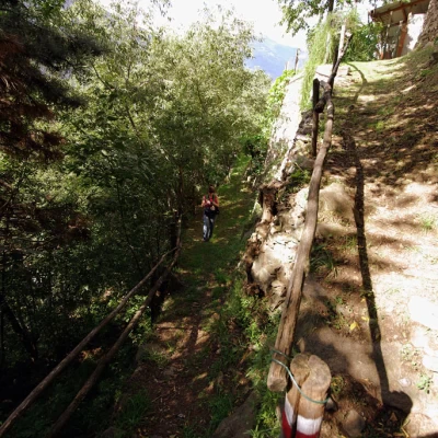
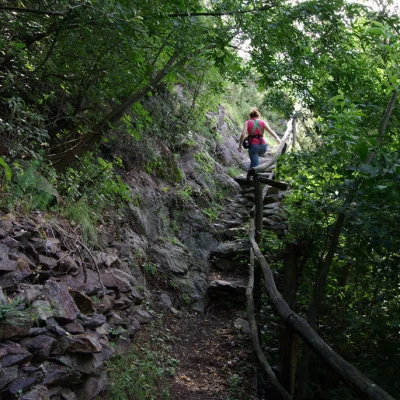
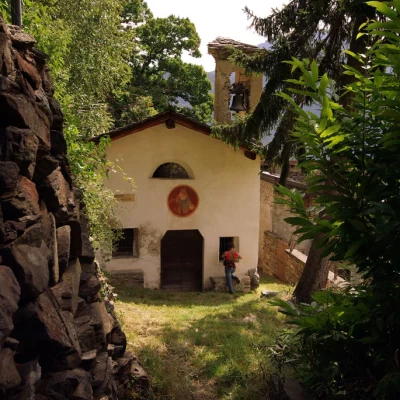
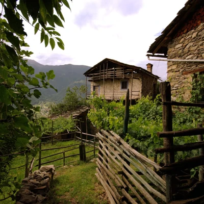
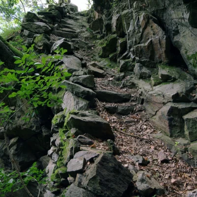
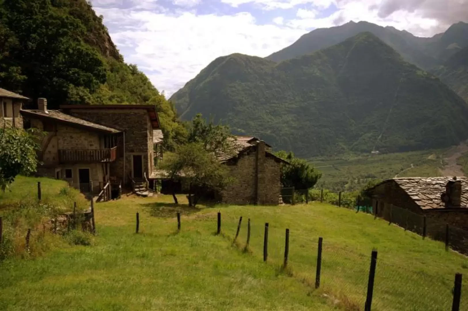
From the car park, continue along the road until you come up against the mountain at a retaining wall encompassing a small chapel; turn right towards the centre: pass by a church and, just before a fountain, enter a courtyard on the left; at the end, on a wall, the writing 'Porcìdo' indicates the start of the steep path. The track, amidst terraces planted with vines and vegetables, alternates between semi-flat stretches along the retaining walls and flights of steps connecting the various levels. Ruins of rustic houses are encountered, testifying to the fact that until a few decades ago the entire slope was inhabited for food exploitation. For a short stretch, the path has to adapt to the very recent construction of a rock net (landslide of 2007), then it begins to climb again in the mixed broadleaf forest adapted to Mediterranean temperatures (prevalence of chestnut, oak, arboreal heather and broom). It then crosses a steep rocky belt, where the path, maintaining the same characteristics of alternating altitudes, exploits a series of ledges on terrain at times of dubious consistency and stability. At the end of this section and having abandoned its shaky protections in the valley, it comes out on a panoramic grassy terrace, which precedes new terraces - now flatter - at the entrance to the agglomeration of huts at Porcìdo. This is a district that is currently inhabited on an occasional basis, for weekends and holidays and for tending a few permanent sheep. We come to a path and follow it to the right, slightly downhill between more or less restored buildings, passing by the church, until the 'Desco' sign. The path begins to descend very clearly between the low walls, but as soon as it reaches the meadows it tends to get lost among the grass and brambles: a few old markers on the trunks help to keep the direction. Here too, one proceeds over the remains of terracing, but the condition of the connecting steps is really precarious and treacherous; gradually the path tends to the left, to take advantage for the steep descent hairpin bends of a wooded gully where the path was created in part artificially, between suspended steps and supporting embankments. The collapse of some ancient chestnut trees and the presence of micro landslides do not lead to optimism about the long-term viability of this route. - A variant in the upper part of the gully is now overgrown by brambles and inaccessible - In the lower part, the gully widens out and the path, again to the left, moves away from the steep areas and along ancient landslides of small stones, heads into an area of wetter woodland, on the traces of an old track serving the boulder walls protecting the hamlet of Desco. In a short time, you reach the hamlet and along the tarmac road - to the right - at the foot of the slope that you have just traversed, you return to Panìga.
