Nissod, from Domianaz
Access
At the motorway exit of Châtillon, turn left towards the centre of the town; when you reach the little central square, turn right and follow the entire street to a crossroads: go straight on, following the signs for the hilltop villages (Domianaz). Go up the hill, passing several villages, until you come to the junction for the panoramic road towards Saint-Vincent near Albard: ignore the latter, turning left and, after four hairpin bends, you will come to the characteristic little church of Domianaz: turn right and you will reach the small car park 🅿️ behind the chapel where you can leave your car.
[0h13'] - [5,7km]
How to get there with GMAPS
How to get there with Apple Maps
The directions given here were verified at the time of the route survey. Before setting off, it is advisable to ensure that no substantial changes have occurred on the route to the starting point. We therefore recommend the use of the satellite navigation apps provided by Google or Apple for up-to-date and detailed directions.
Introduction
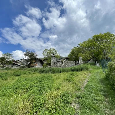
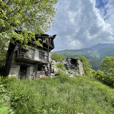
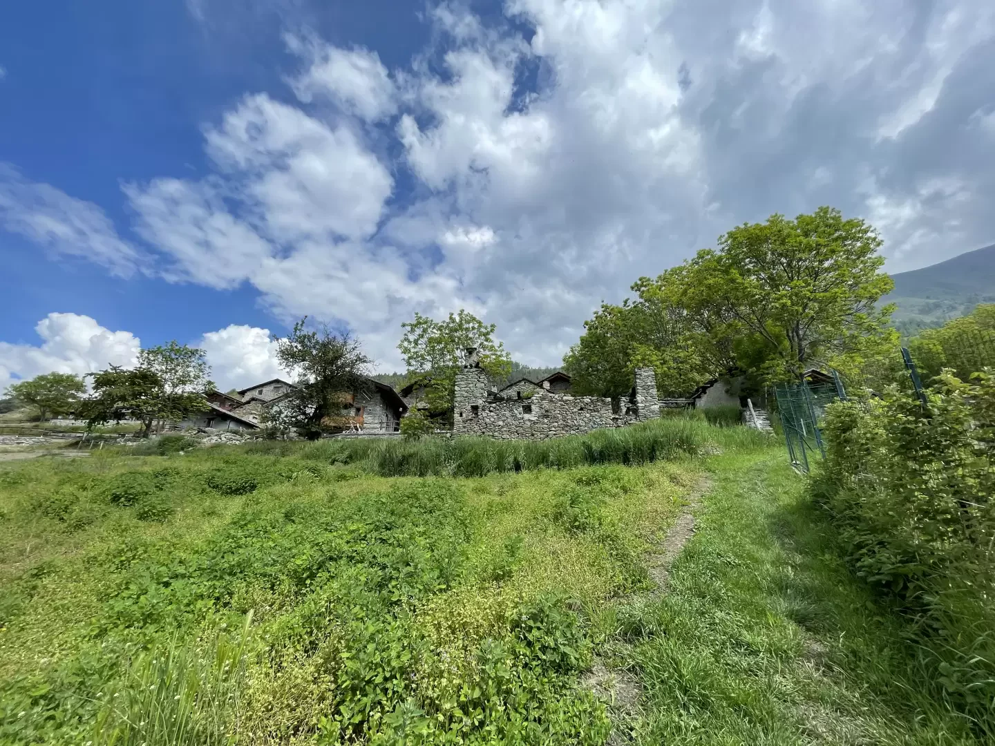
Nissod is a small village located on a convenient shelf on the southern slopes of Mont Zerbion. Inhabited only in the summer as the winding communal access road is not cleared of snow in winter. Inside the village is the chapel dedicated to Saint-Bernard, the Exaltation of Our Lady of All Powers and the Cross. Built in the 18th century, it has recently been restored and its façade bears a beautiful fresco dedicated to the saint created in 2000 by Prof. Girardi.
Because of its southern exposure, it is advisable not to take this itinerary during the hot parts of the day or in the height of summer: spring remains the preferred season.
The proposed itinerary starting from Domianaz is the quickest and most direct route to the village from the bottom.
The itinerary is the quickest and most direct to the village from the bottom.
Description
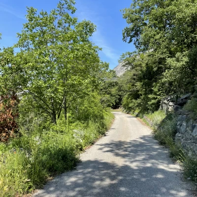
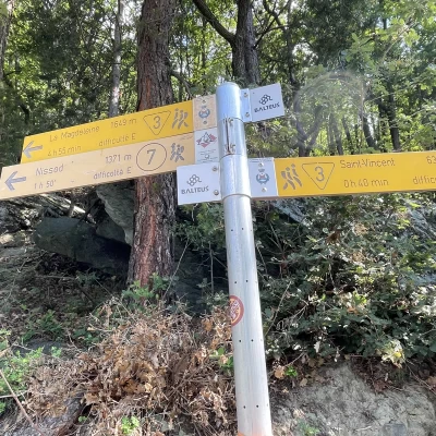
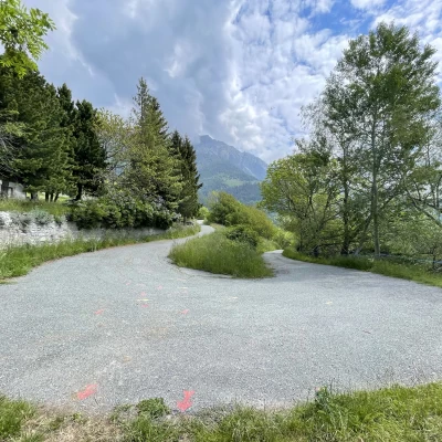
0h00' From the car park, go back a few metres until you come back onto the communal road: keep to the right and walk for a few hundred metres on the small tarmac road until the first hairpin bend after which, on the left, you will see a signpost indicating the direction to take.
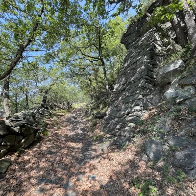
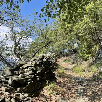
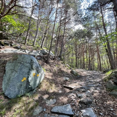
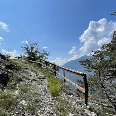
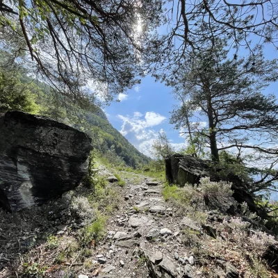
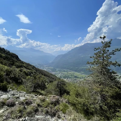
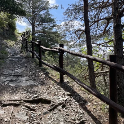
0h05' We begin to climb up a beautiful mule track, marker , paved in places and bordered by dry stone walls. The ascent is steady, but the work of man in the past has made it never excessively steep. One heads westwards, in some places there are wooden railings, until one comes to a cross: here the path changes direction, heading north towards the rocky massif below Nissod. This first section of the trail is immersed in a forest of downy oaks (Quercus pubescens) and a few sporadic firs, which occasionally open up to allow interesting panoramic views of Saint-Vincent. After a series of twists and turns, the path crosses the waters of the Saint-Vincent stream and leads to its orographic right-hand side.
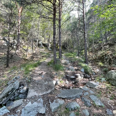
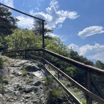
0h40' The itinerary takes on a decidedly higher level with a series of hairpin bends in the coniferous forest, which is decidedly more shady. You reach a clearing (1105m, 0h50'), accompanied by a railing and a bench, from which there is an interesting view of the mountains to the south of the Dora Baltea: from Mont Lyan to the Becca di Salé.
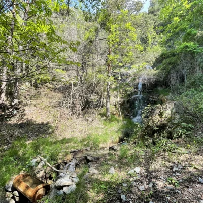
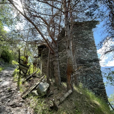
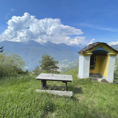
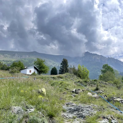
1h30' The trail starts to climb again and soon crosses the stream again, near a pretty little waterfall. Shortly afterwards, we come to a farmhouse located near an old marble quarry. Continue uphill until you come to a rocky outcrop with white patches: by now the path softens, passes near the marble quarry and soon reaches a beautiful votive shrine. The forest now gives way to the pastureland below Nissod and leads close to some vegetable gardens before becoming a small farm track. Below the imposing mass of Monte Zerbion, the path joins the tarmac road: follow it for a few hundred metres until you come to a panel indicating the arrival at Nissod. We follow the road by turning left and, after a few metres, turn right onto a small path that enters the village. We pass a beautiful rural building, with an attached barn, and finally reach the chapel of Saint-Bernard, patron saint of the village (1382m) and shortly afterwards the village fountain 💧1h45' .
The descent follows the same route as the ascent 1h00' .
Punti di interesse
Collections
- escursioni con partenza da Domianaz - sulla mappa
- escursioni ai villaggi della Valle d'Aosta - sulla mappa
- escursioni a Châtillon - sulla mappa
- escursioni in media Valle d'Aosta - sulla mappa
- escursioni in Valle d'Aosta - sulla mappa
