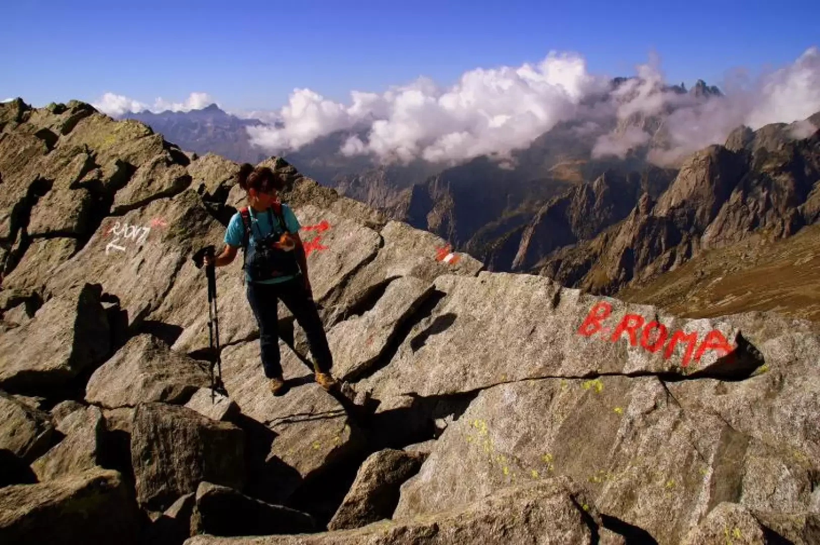
Bocchetta Roma, from Predarossa
Access
From Milan to Ardenno along state roads 36 and 38; at the roundabout at the railway station, turn left towards Val Masino. Go up the entire valley along the provincial road to the hamlet of Filorera: here, instead of continuing on to San Martino, take the road to Predarossa on the right. After 12 kilometres of bends and hairpin bends, you reach the terminal square where you can park without any problems. Note that an intermediate section of this road is unpaved and can only be travelled by normal vehicles with extreme caution; particular atmospheric conditions (avalanches, thunderstorms, prolonged rain...) often lead the local authorities to order its closure. In this case, the hike is about 3 hours longer.
Introduction
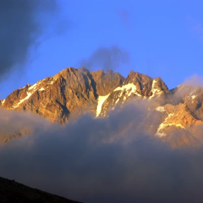
A hike that is grandiose because of the panorama dominated by Monte Disgrazia and the Corni Bruciati; it partially follows the last stretch (return to the valley) of the famous Sentiero Roma and - up to the Bocchetta - is the initial ascent of the skyrace race 'Trofeo Kima'. For those who are passionate about it, the petrographic-mineralogical interest of the area is very high.
Description
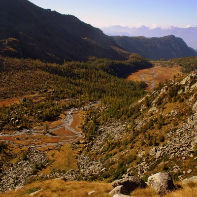
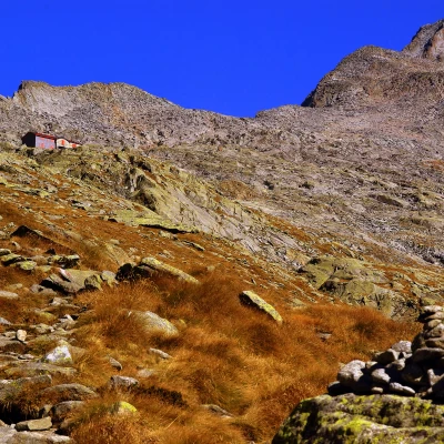
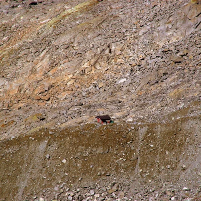
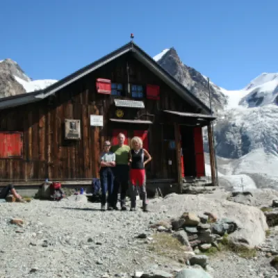
From the large forecourt, following the signs, we follow the uneven track that leads to the beginning of the path - recently readapted by ERSAF (SIC-site of community importance) - that surrounds on the left the splendid esplanade of Predarossa 1955m. At its end, we climb up the frontal moraine of the Disgrazia glacier, now covered with grass, bushes and the last larch trees. The path, stony and sometimes torrential, soon leads to a second, partially marshy shelf, where the lateral moraines also converge. On the right side of the valley loom the red walls of the Corni Bruciati; in front of them the path - now very steep and stepped in blocks - ascends a kind of gully that leads to the upper terrace of the Valle di Predarossa. A moderate but continuous ascent is made with a long diagonal until reaching the visible Rifugio Ponti 2559m.
This last section presents a variety of route variants - more or less direct - due to the large passage.
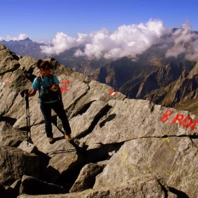
The path continues - always very well signposted - behind the refuge: it alternates short stretches of gravel track with long traverses on large ganda, where it is necessary to move with precision from one granite block to another. It takes about an hour to reach the Bocchetta Roma pass 2898m.
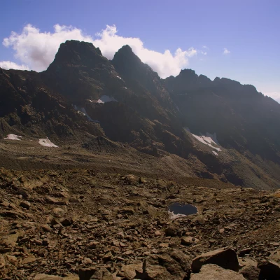
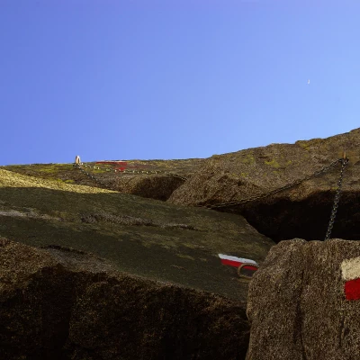
From here it is possible - in about an hour's round trip walk - to reach the visible Kima bivouac on the Sentiero Roma path in the amphitheatre of Val Cameraccio. To do this, you have to descend from the WEST side of the Bocchetta with a well-equipped route - chains, hollowed-out steps and metal supports - down to the basal snowfield and then cross a stretch of scree with ups and downs.
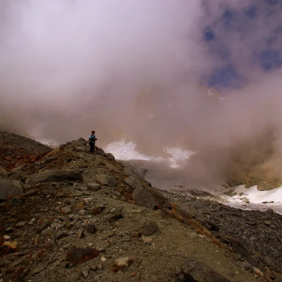
For the return trip, it is interesting to take a different route to the Ponti hut. Without any traces or signposts, amidst even very large boulders and sloping slabs (passages up to grade II, which can be avoided with wide turns), you tend to the edge of the lateral moraine of the Disgrazia glacier, which you reach near a flow of red boulders. The summit of the moraine is traversed by a small path - at times exposed and always landslide-ridden - which is the approach route for the ascent to Monte Disgrazia. Having descended to the hut, the path descends from the moraine onto a marked path coming from the left (formerly Rifugio Desio at Passo di Corna Rossa). In a short time to the Ponti hut and from here take the outward path back to the Predarossa square.
General Information
Signposts:red/white vignettes
Type of route:partially circular
Recommended period:July, August, September, October
Sun exposure:south
