Bocchetta di Campello Monti, from Rimella
Access
Exit the A26 motorway at Romagnano Sesia-Ghemme. Continue in the direction of Varallo along the SS299 supestrada. At Varallo turn right onto the road for Val mastallone and follow it to Rimella.
.Introduction
The itinerary takes us to explore one of the valleys from Rimella and the route up to Bocchetta di Campello Monti, which used to be a hamlet of Rimella, although separated by an impassable snow hill several months of the year.
Description
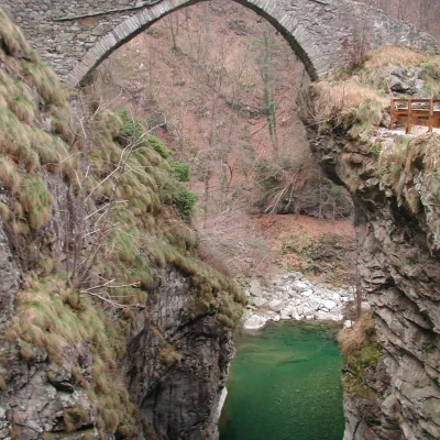
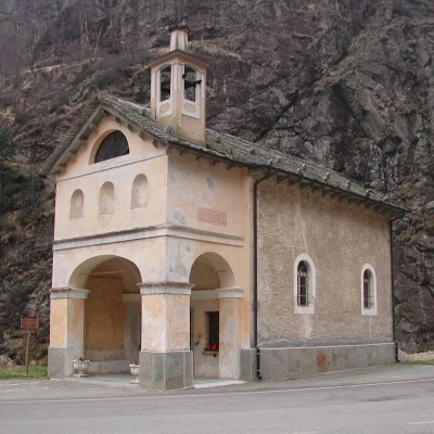
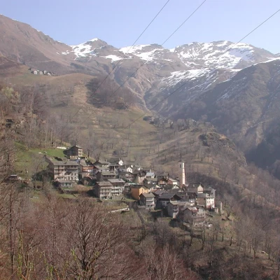
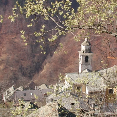
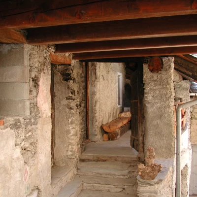
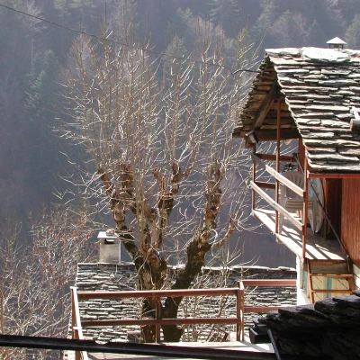
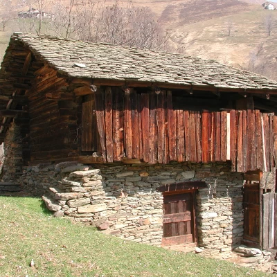
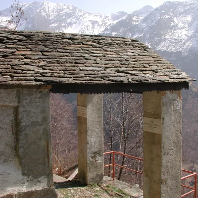
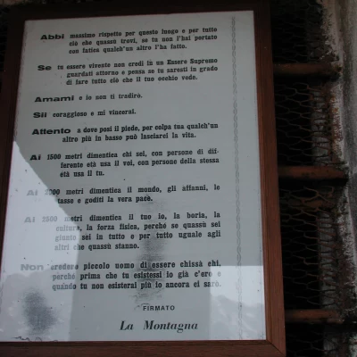
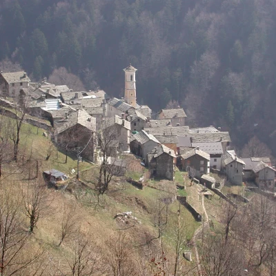
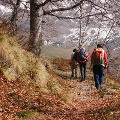
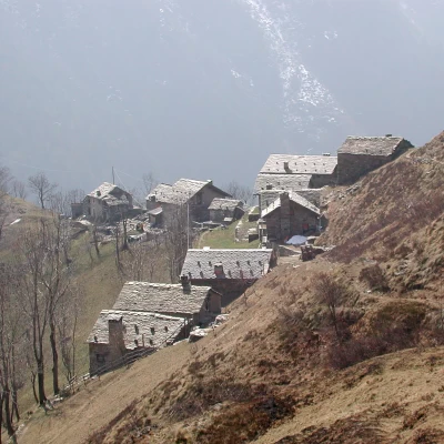
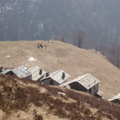
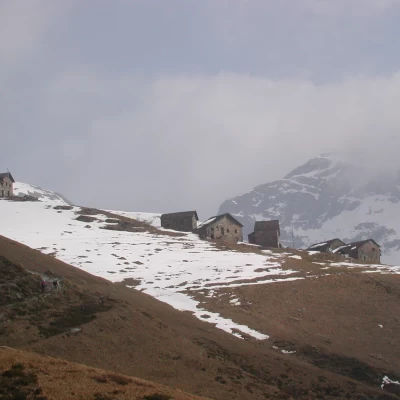
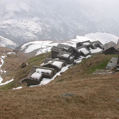
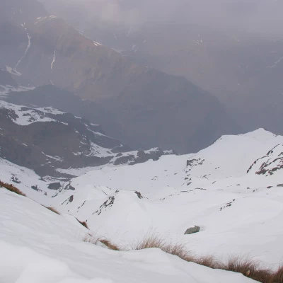
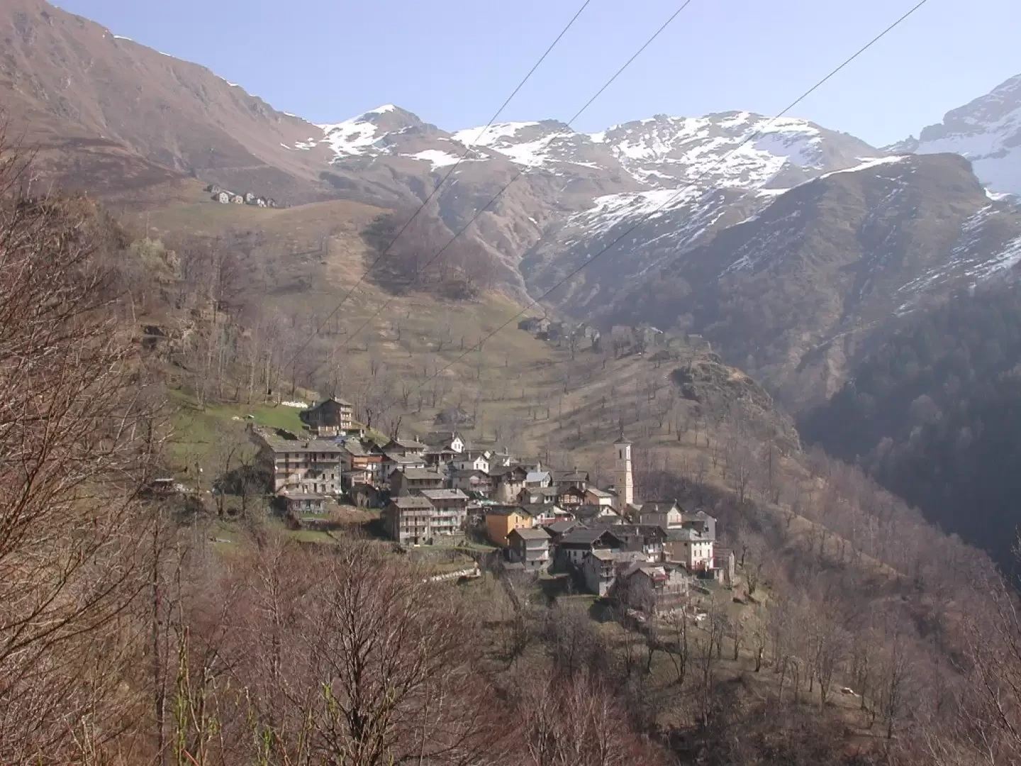
On the way up to Rimella, you can stop and visit the hamlets along the road, some connected by beautiful stone bridges (there are 14 hamlets in Rimella, located along the valleys), and once you reach the hamlet of Chiesa, it is worth entering the Baroque parish church, considered one of the most sumptuous in Valsesia. Dedicated to San Michele, it was rebuilt between 1777 and 1780; next to the church is the museum (open on summer holidays from 10 a.m. to 12 noon and from 2 p.m. to 4 p.m.), which collects archaeological finds and relics on the history of Rimella's Walser community. After a tour of the hamlet, drive up the road that ends near San Gottardo and park to the right, at the picnic area; we left our rucksacks in the car and drove down to visit the beautiful hamlet of San Gottardo (Rund), 1329 m, with its houses, distinctive bell tower, characteristic views, and a very old rascard. After the tour, we went back to pick up our rucksacks and crossed the road to the Colma. After a short uphill walk, we came across the chapel of the dead, with a stone slab beneath a cross. Engraved on the stone is the date 1551, which, as we have seen, commemorates the end of the transport of the dead from Campello Monti to Rimella via the Colma pass; after this very long and arduous pilgrimage, the coffins were placed in this chapel for a pause for prayer before descending to the village and were taken over by the people of Rimella who came up to wait for them. In the chapel there is a beautiful letter addressed to all those who climb the mountains, which I have photographed because it is worth reflecting on... After the chapel, the beautiful path continues along the hillside, passing by quarries of beola, which were used to cover roofs; in the past they were brought down to the valley with sledges and sedan chairs, then with a cable car. We meet up with several alpine pastures, Selle, Wan, and we see San Giorgio Under du Vàrch, below, after San Gottardo; in the distance we see Alpe Pianello, where there is a CAI refuge in Borgomanero; from Alpe Pianello (1801 m), in half an hour we reach the Colma or Bocchetta di Campello Monti pass (1924 m). From the Bocchetta there is a beautiful view of Monte Rosa, which we missed due to the weather not being too favourable. Return along the same route. We did the tour in early spring, so the slope to the orographic left of the valley was still very snow-covered; if you do it later in the season, the tour can become circular; from Alpe Pianello you descend to Alpe Ratte (1694 m). Then, continuing along the ridge separating the two upper courses of the Enderwasser, we reach the Rondecca alp, Rundakku (1565 m). The huts are arranged on a saddle of the ridge and overlooked by a rocky spur. At this point, the path starts from a recently renovated house, descends steeply, reappearing clearly a little further down, and penetrates into the bush, where one can see many birds-of-prey plants, the fruits of which are not edible but can be used to make an alcoholic beverage. After crossing the stream, the trail ascends to the hamlet of St. George, Under du Vàrch, and from here descends to St. Gotthard, Rund (1329 m).
Galleria fotografica
