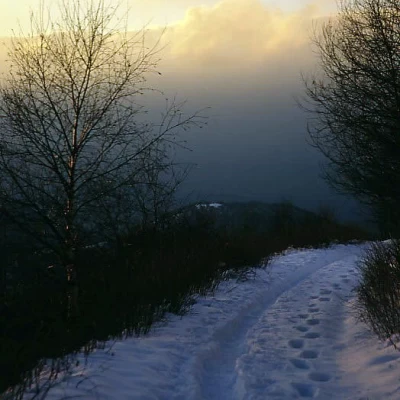
Monte San Primo
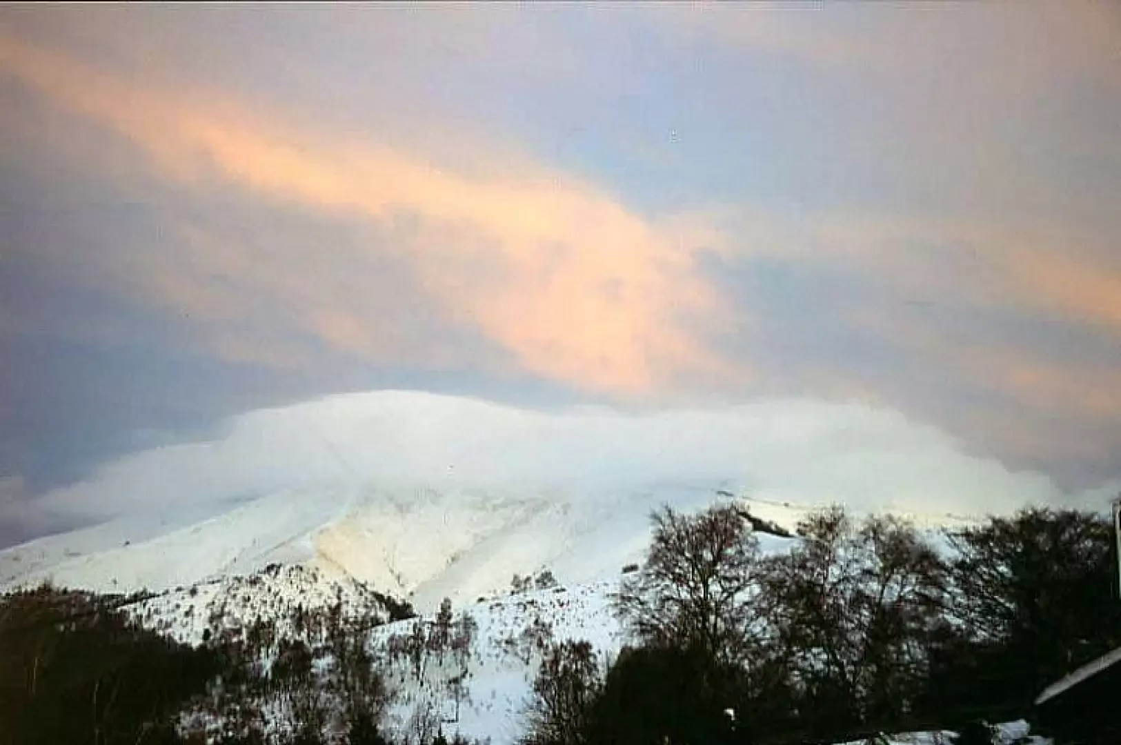
Introduction
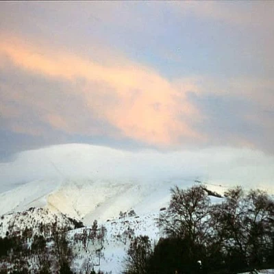
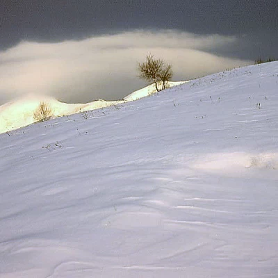
Mount San Primo is located at the northern tip of the triangle dividing the Lecco and Como branches of the lake of the same name. The hike is easy and quiet, doable all year round and by various means (foot, mountain bike, ski, snowshoes), even suitable for children in summer. From the summit, the panorama over the whole of Lake Como is simply grandiose.
Description
From the pass (Stoppani hut), take the little flat road that starts a few metres before the pass on the Valsassina side and follow it for a long time, first through the woods, then passing Colma del Bosca, Monte Cornet, Alpe Spessola and reaching the ridge at the arrival point of the ski lifts on the north side (Magreglio). Continue on the ridge, or on the path on the south side of the mountain, to the summit. Author
- Consults all the ski-mountaineering reports of Franco Rossi
- Consults the page of [[Franco Rossi]]
Bibliography
- I. Mozzanica, Itinerari nel Triangolo Lariano, Electa edizioni, 1999
Cartografia
- Lago di Como-Lago di Lugano, Carta escursionistica n°91, 1:50000, Kompass, 200x
Galleria fotografica
