Mount Rujoch
Introduction
The last hike before the arrival of the snow! It was quite long and demanding, made worse by the rain and fog, but very satisfying. A 'loop' tour that starts at an altitude of 1200m and reaches the 2415m of the Rujoch mountain and descends to an altitude of 1400m.
.Description
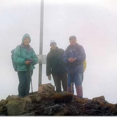
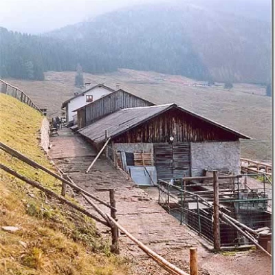
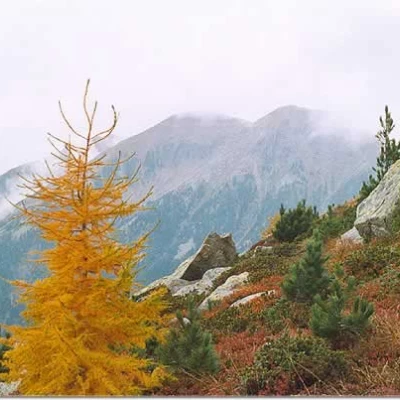
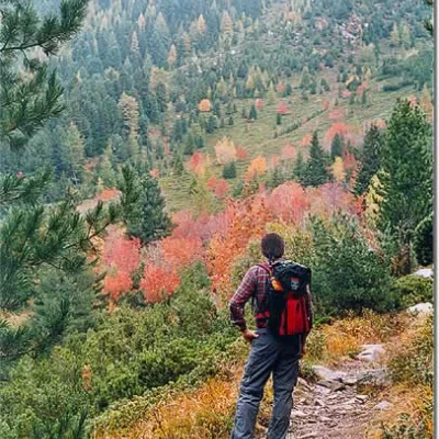
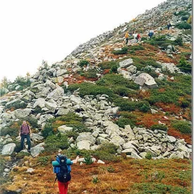
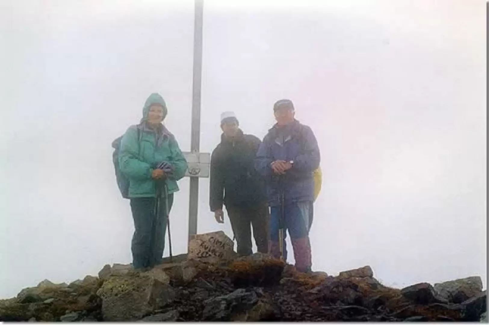
Having reached the village of Regnana (church) 1215 m, we head NE passing by Grovi (1220 m) following trail marker 443 (European E5) up the Val del Rio Regnana. Coming out of the forest, we ascend the slope and appear at Malga Stramaiolo (1678 m), continue past Passo del Campivel (1831 m) and then cross Val Spruggio at altitude. The deep red patches of vegetation invite you to stop and enjoy this autumnal spectacle. And here is the beautiful Rifugio Tonini a (1902 m), very well equipped and welcoming. As we set off again, we realise that the weather is gradually getting worse and there is a lot of fog, but by now no one feels like going back :) We begin a breathtaking ascent from 1902 to 2415 m, following trail marker 461. An area of large stones up to the Val Mattio pass (2308 m). We continue on the ridge... a pity we cannot enjoy the surrounding landscape, but our attention is all focused on looking for the trail signs in the thick fog and trying to keep upright on the porphyry boulders made slippery by wet lichen. Rujoch summit at last! Walking along the ridge, we pass Cima dell'Uomo Vecchio (2233 m) and then continue our descent to Passo Polpen... while the rain pours down. At Passo Polpen (1939 m), we take trail marker 462 to the left, which takes us towards Passo Redebus at 143 5m, which divides Valle di Pine from Valle dei Mocheni.
.