Round Motto

Access
From Como to Gravedona along state road 340 "Regina"; in the centre of the village, turn uphill towards "Dosso del Liro": the road climbs the slope through various hamlets. The detour to Livo is left off to the right and you soon reach Dosso del Liro; follow the narrow main road in hairpin bends and head long into the valley. Having ignored the car park at Pian Castagnaio (signs for a path to Rifugio Vincino), you come to a fork in the road near a modern little chapel: take the right-hand direction and proceed - lastly on a good dirt road - to the end of the track. Parking is scarce, also due to the need to leave space for turning around.
.Introduction
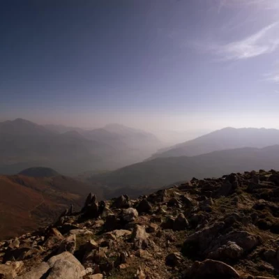
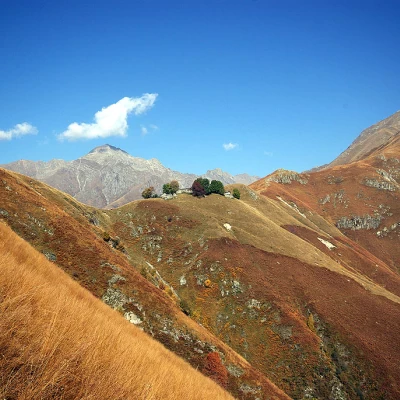
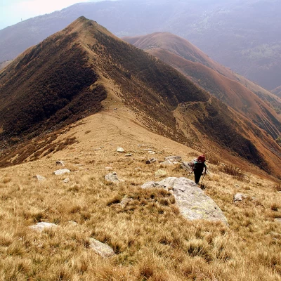
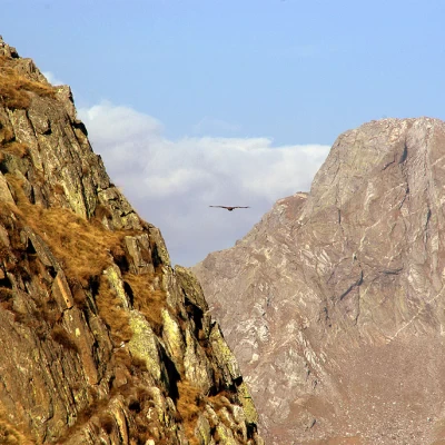
Exemplary excursion to get your bearings in the complex and little-known orography of the region: in fact, the entire route runs along a grassy ridge - only at the end rocky - that allows you to see from Lake Como to the border ridges with the Swiss Mesolcina and the Italian Val Bodengo. A route without any particular difficulty, but very tiring due to the gradient, the total exposure to the sun and the stony ground moved by the numerous goats and sheep. No water after Piaghedo.
.Description
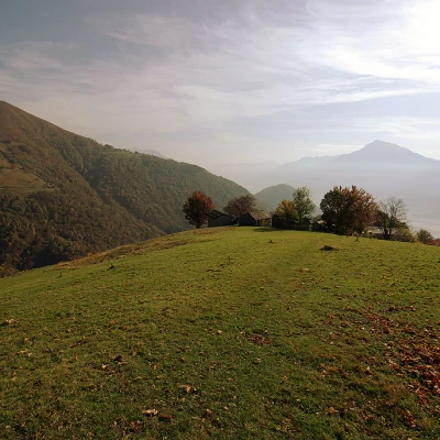
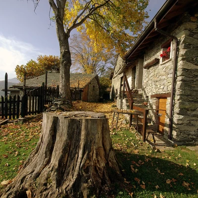
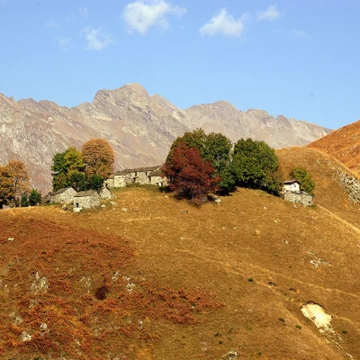
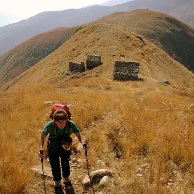
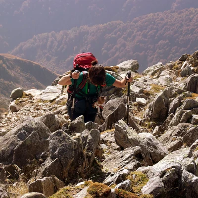
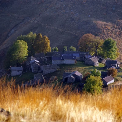
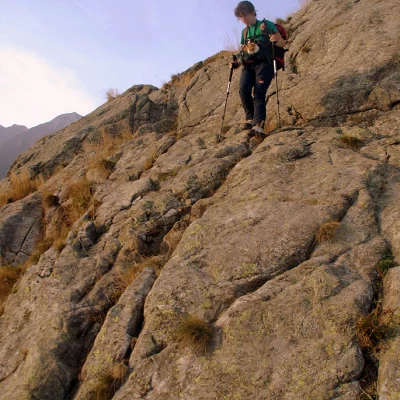
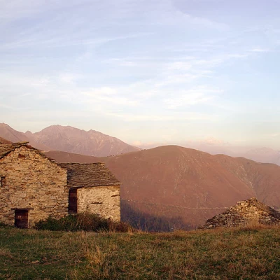
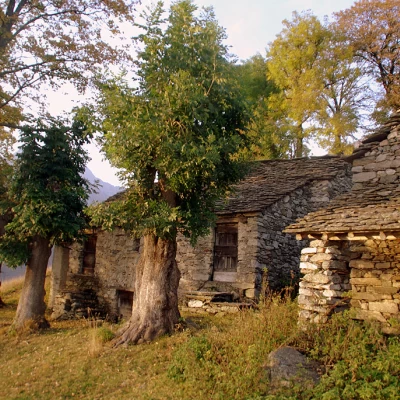
Where the track ends, next to the cable of a short cable car, a path begins that immediately forks: it is best to follow the track upstream, which in a moment takes us to Prà Naro (Prennaro on the maps) 1012m, a small cluster of dwellings on a panoramic hillside overlooking Lake Como and Valtellina. From here, apart from a few short detours on the sides, we follow the pastureland ridge to the summit. We begin to climb and immediately come across the seasonal settlement of Sortaiolo 1119m, surrounded by beautiful specimens of beech and ash trees; then the path climbs up to drier terrain invaded by ferns and, avoiding the 1360m altitude on the right-hand side, leads to the picturesque grassy saddle with the few houses of Piaghedo 1348m (last water). Continue uphill and you reach the three huts of Monte di Piaghedo ("Monte" in the Alto Lario region is the alpine pasture, understood as the ensemble of pastures, seasonal dwellings and agro-pastoral service buildings); you flank an aqueduct building and reach an altitude of 1689m, which can be skirted on the flanks. It is then necessary to lose altitude for about fifty metres until reaching a saddle with a voluminous cairn of stones. The track, at times not very evident but always identifiable, tackles the slope along the line of maximum slope up to the 1979m altitude of Dosso Bello: we find ourselves in front of an apparent crossroads at the base of the terminal rocky dome. It is immediately advisable to disregard the line that climbs vertically - in reality it is a landslide accumulation of mobile stones - and to take the tracks to the right and left. The right-hand path is more comfortable, but it is very loose and landslide-prone, not very exposed and leads to the eastern shoulder of Motto Rotondo, which is wide and stony. The path to the left, which leads off a little further down, is solid and rocky, but very exposed and reaches the western shoulder, which is made up of large, stacked boulders, between which one must climb. The summit of Motto Rotondo 2264m (on the maps listed but almost never mentioned) is wide, stony and normally frequented by many goats.
For the descent, it is best to choose the first of the two paths described and then take the long way up again: even more beautiful views if you wait for the sunset.
General information
Tour:south ridge
Type of route: a/r
Recommended period: April, May, June, July, August, September, October, November
Objective hazardstones moved by goats
Exposure to sunshine:south
Exposed sections:path just below the summit
Water: last at Piaghedo
