Motta di Caspoggio, from the Cristini district

Edited by:
Marco Bonati
Updated at: 03/12/2025
Access
From Milan to Sondrio along State roads 36 and 38; at the roundabout at the entrance to the town turn left onto the provincial road for Valmalenco. Continue for a few kilometres as far as the contrada Tornadù: at the crossroads keep to the right, crossing the Mallero stream; continue briefly until you come to Torre Santa Maria - a few houses, the bulk of the village is on the other bank -. Shortly after, on the right, is the signposted diversions to the contrada Cristini. Park as far as possible at the end of the road.
Introduction
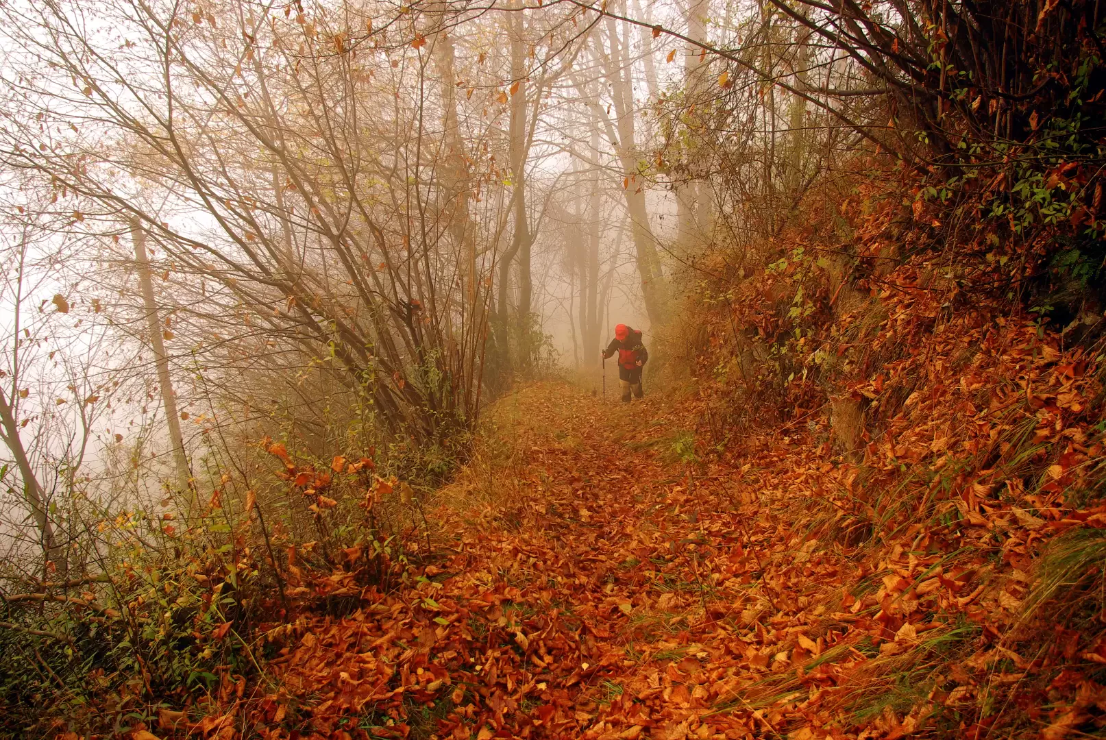
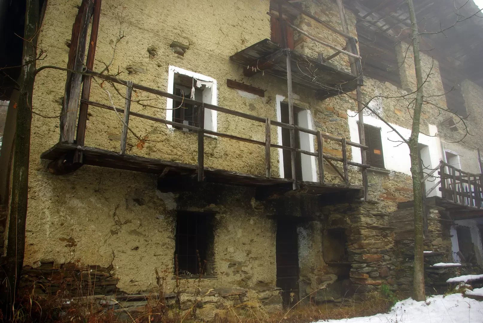
Simple excursion, but particular and ethnographically interesting. The destination - a slight rise on the ridge of Monte Palino that forms the Torre/Caspoggio border - is just a scenic expedient to visit two villages that are no longer permanently inhabited: evidence of the widespread anthropic presence of past centuries on these slopes. The wooded and bushy terraces that we cross today were tenaciously cultivated with rye, buckwheat and potatoes until the 1960s. Last vestiges of modernity, an abandoned primary school as good as new and a tumbledown public telephone post sign. This is the final, but now overlooked by most, stage of the Alta Via della Valmalenco.
.Description
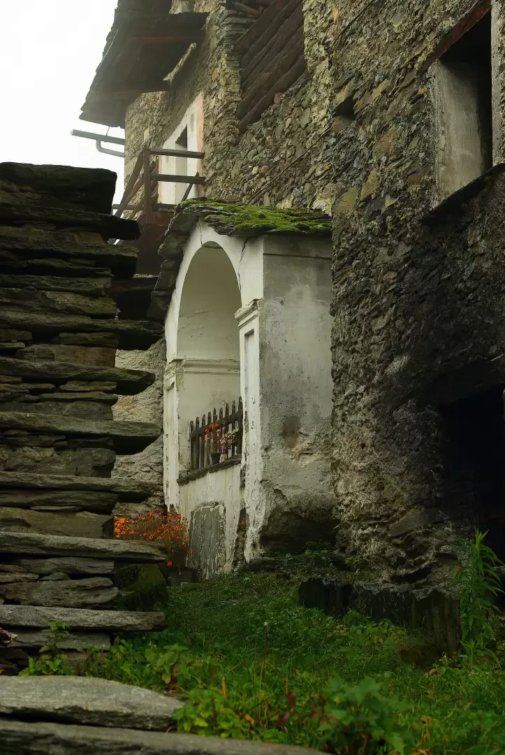
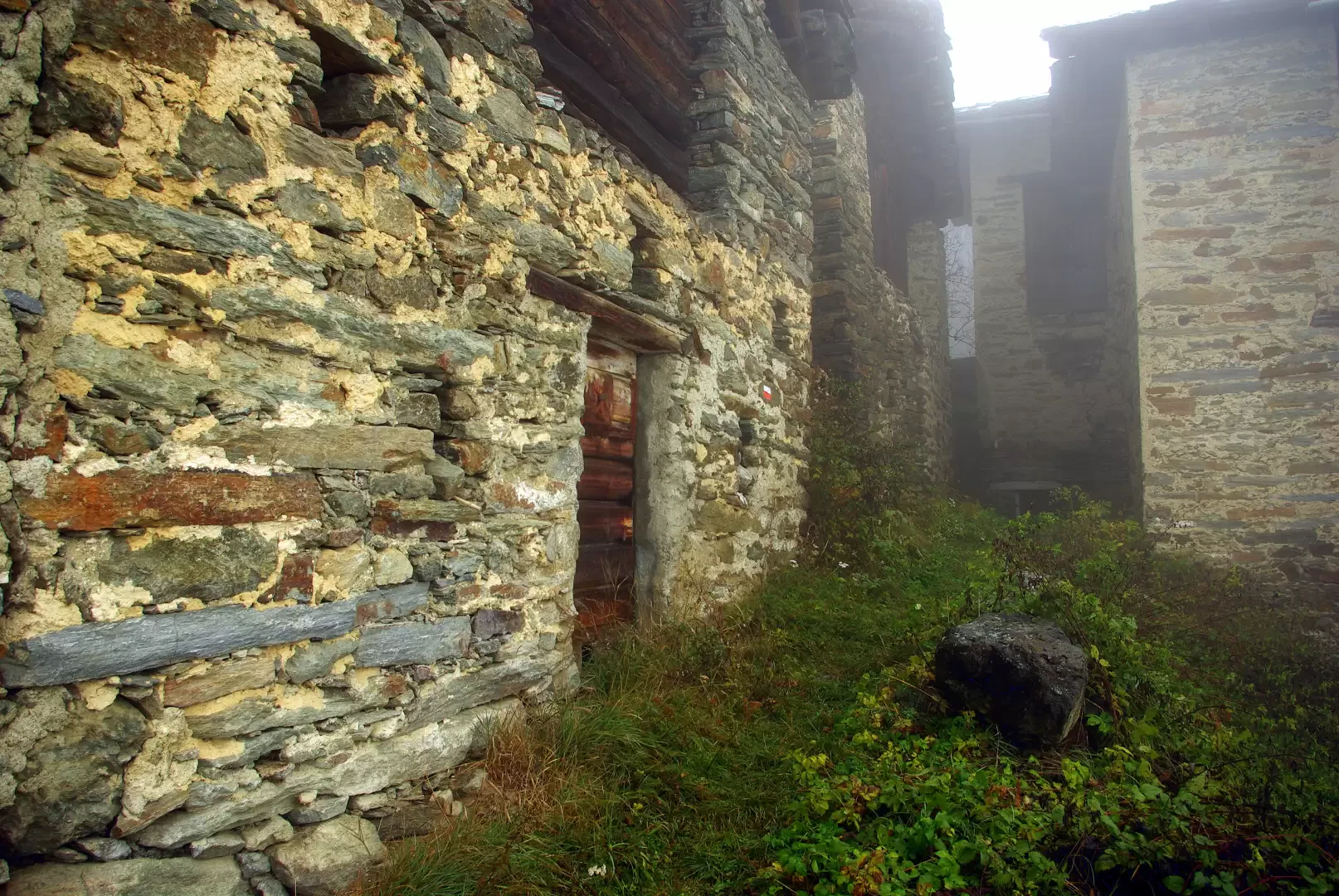
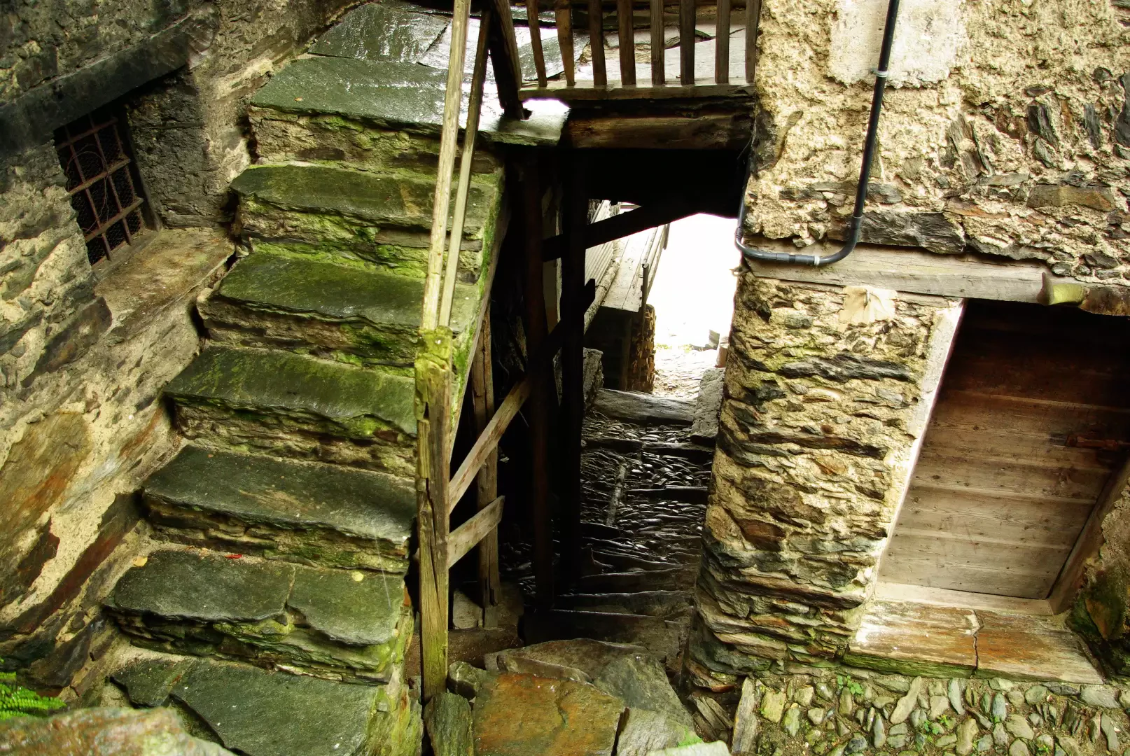
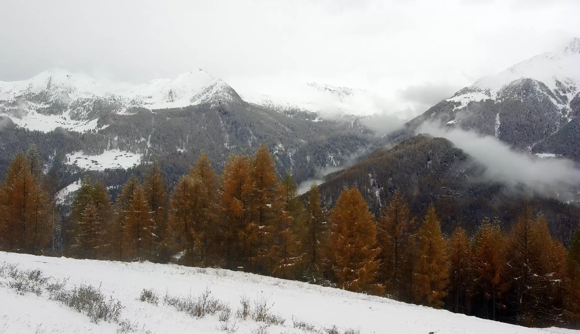
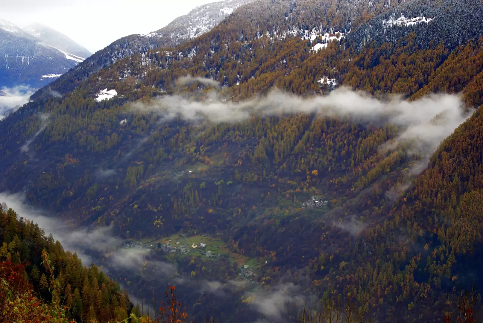
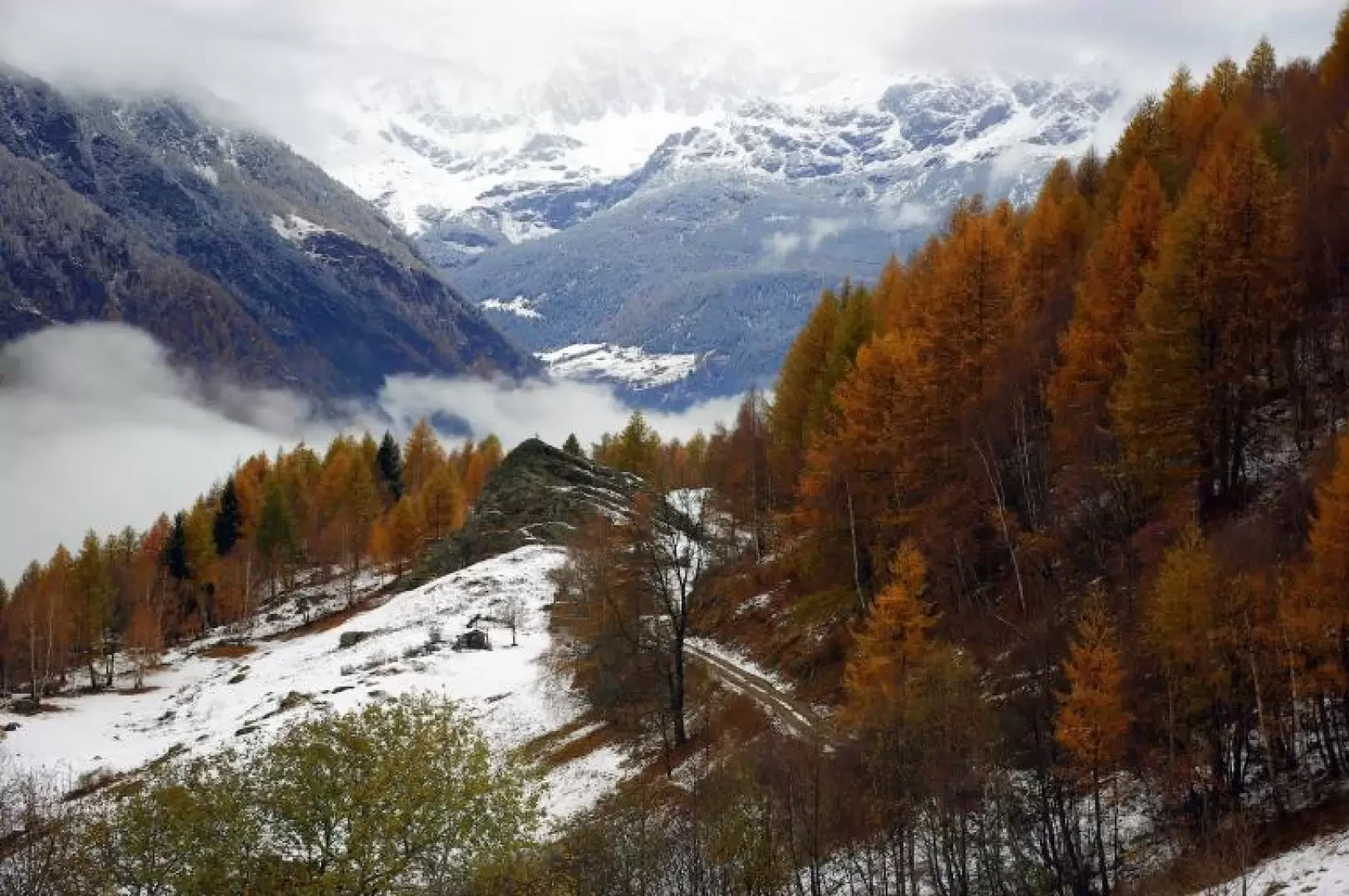
From the car park - notice board with a map of the paths in the whole of Valmalenco - you immediately climb to the left on a ramp overhanging the Val Dagua below; after a few bends you come to the houses of the Scaià district, which, given their proximity to Cristini, still serve as stables or agricultural depots. The beautiful mule track, with regular hairpin bends, runs through the coppice forest gaining altitude - neglecting a fork to the right - and, preceded by the crossing of a disused cable car, reaches the first houses of Dagua (1230m). It is worth taking a moment to visit the alleys of the hamlet, amidst courtyard stairways and covered passages: everywhere the signs of abandonment prevail over indications of some activity still present here and there. Neglecting a new fork to the left that leads to the former primary schools, continue uphill into the woods; a traverse to the left heralds the presence of the church - recent: 1955 - of the next contrada Gianni. The village, larger but more scattered than Dagua, has the same semi-deserted characteristics. The path continues out of the houses and soon turns into a grassy track: after a few hundred metres it joins a steep dirt road serving the Caspoggio ski slopes; following it downhill, you soon reach the Motta di Caspoggio saddle (1480m): a few huts arranged at the foot of a small rocky peak topped by a cross. On a clear day the view encompasses the entire furrow and the mountains of the middle Valmalenco.
Return along the outward route.
General information
Way:from Torre di Santa Maria
Signposts: Alta Via della Valmalenco
Galleria fotografica