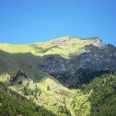
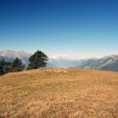
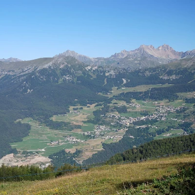
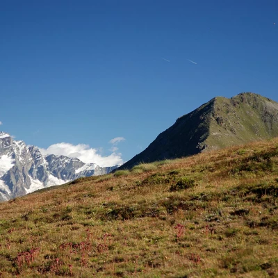
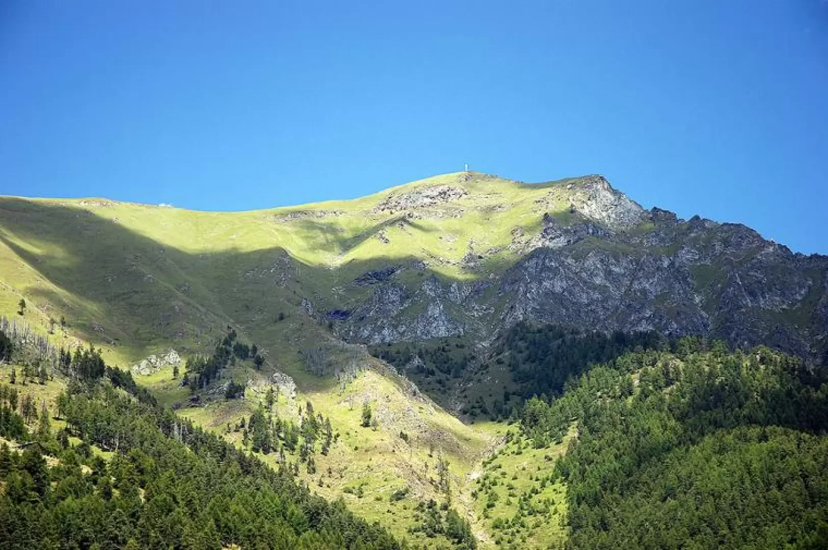
Mount Zerbion, from Nissod
Access
Uscendo dall’autostrada a Châtillon, si svolta a sinistra in direzione del centro cittadino. Raggiunta la piazzetta principale, si gira a destra e si percorre l’intera via fino a un incrocio. Da qui, si prosegue dritto seguendo le indicazioni per i villaggi collinari, in particolare Domianaz. La strada si inerpica sulla collina attraversando diversi villaggi, fino a raggiungere il bivio per la strada panoramica verso Saint-Vincent, nei pressi di Albard. Si ignora questa deviazione, svoltando a sinistra; dopo quattro tornanti, si arriva alla pittoresca chiesetta di Domianaz.
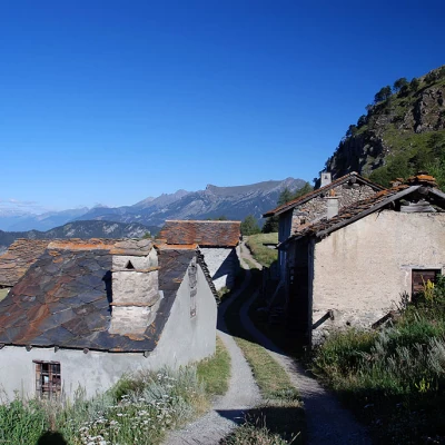
Proseguendo lungo la stradina comunale per circa 6 chilometri, si costeggia un’area dedicata agli sport popolari. Successivamente, con una serie di curve, si raggiunge il bivio per Travod. Anche in questo caso si trascura la deviazione a destra e si segue la strada principale fino al villaggio di Nissod. Nei pressi di un fontanile 💧 si trova un piccolo parcheggio 🅿️ dove è possibile lasciare l’auto.
È importante notare che, durante la stagione invernale, la strada non viene sgomberata dalla neve. Tuttavia, in assenza di neve, è percorribile con la dovuta cautela.
[0h29'] - [13,1km]
Come arrivarci con GMAPS
Come arrivarci con Mappe Apple
Le indicazioni fornite sono state verificate con attenzione alla data di rilevamento dell'itinerario. Tuttavia, si consiglia vivamente di controllare eventuali variazioni intervenute successivamente, soprattutto riguardo al percorso di accesso al punto di partenza. Prima di intraprendere il viaggio, è opportuno consultare strumenti di navigazione aggiornati per ottenere indicazioni stradali precise e attuali. Raccomandiamo l'utilizzo di app per la navigazione satellitare, come Google Maps o Apple Maps, per garantire la massima accuratezza e sicurezza del tragitto.
Description
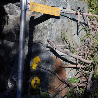
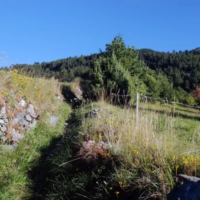
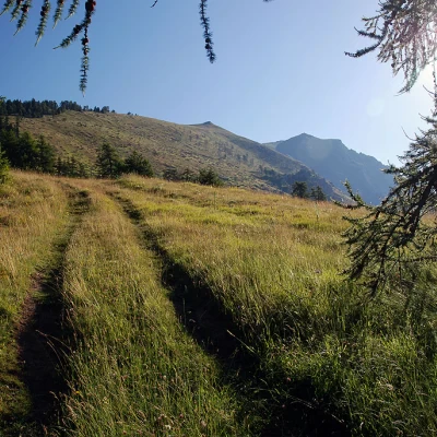
Take the mule track, marked
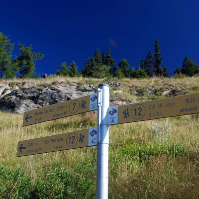
, and start climbing up the pastures above Nissod. Cross the farm road and continue along the mule track into the forest. The ascent is rather steep and, as a result, you quickly gain altitude. The route tends to the right, passing near a ruin in the woods. Shortly afterwards, a second ruin is encountered and we begin to proceed to the left. It continues to climb with a series of turns until it emerges from the forest. Continue diagonally to the left, crossing pastures, until reaching the Deviaz pastures (1689m, 0h35'). Here, take the farm track again and head to the left, following the signs of the yellow arrows. Follow the track for a few hundred metres until you reach the pleasant village of Cheney (1734m, 0h45'). At the fountain, turn right, leave the track and climb up the mule track until entering the forest again. At the first fir trees, leave the mule track to follow a farm track that climbs up the forest with a series of slight bends until it reaches an area of pastureland again: here, the Madonna on the summit begins to be clearly visible. After a slightly uphill stretch in the direction of the summit, you cross path
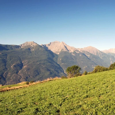
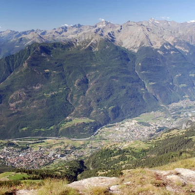
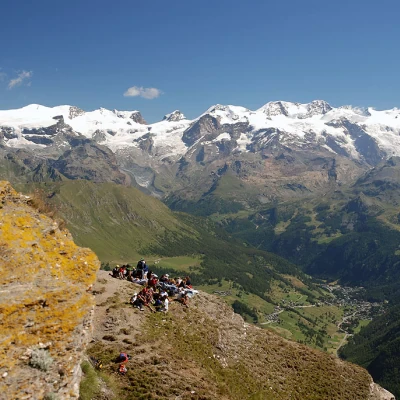
coming from the Col di Joux: at the post, turn left and start walking up a rather steep stretch. The steep ascent is short, however, and you quickly reach the plateau that precedes Francou: on the plateau there is a bench that suggests you stop for a moment to enjoy the stupendous panorama.
On a rock you can see the marks of the paths Sentiero
and
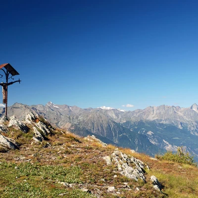
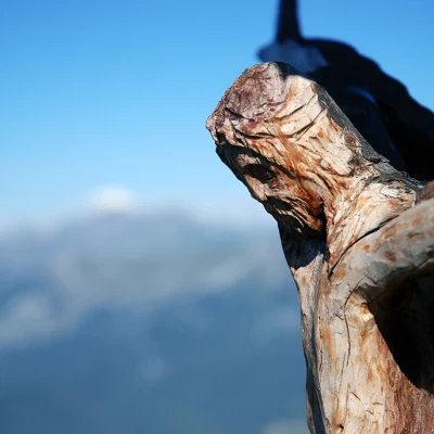
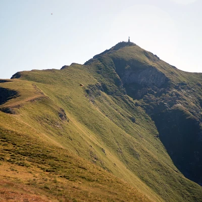
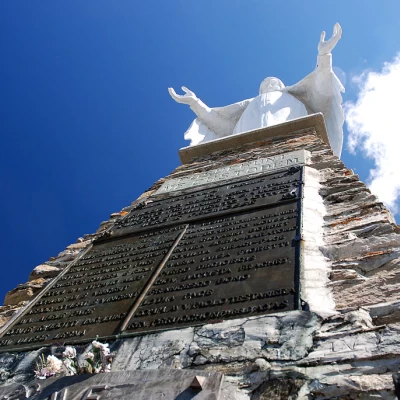
, which fork at this point. We ascend to the right through a strip of sparse forest until we reach the characteristic ridge. The ascent does not let up; as you ascend, the panorama opens up and becomes more and more grandiose. Slowly one reaches the summit where a small Christ on the Cross is placed. The march continues along the wide ridge that tapers off to become a beautiful crest. The path, always easy and evident, goes up the ridge and joins the one coming from Col Portola: the summit is now reached... a few metres and you arrive at the foot of the majestic statue of the Madonna that marks the summit of Mont Zerbion (2,720m, 3h00').
The descent can be along the same path as the outward journey (1h30') or, for the more undaunted, you can descend towards Col Portola following the wide path accompanied by the Stations of the Cross. When you reach Col Portola (2414m, 0h30'), turn left and meet the signs for path
. One descends the prairie following the path, which is quite evident and leads to a short plateau. It curves to the left and leads to the edge of a small forest. Follow the yellow arrows around a rocky knoll, taking care not to confuse the path with cattle tracks (always find the yellow arrows). Once around the knoll, descend through the forest until reaching the pastures of Francou Damon (2044m, 1h00') and, shortly afterwards, reaching Francou Desot (2021m, 1h05'). Here, follow the farm track briefly before rejoining the path again, which leads through the pastures to the bench encountered during the ascent. From here, follow the same route as on the outward journey until reaching Nissod (1382m, 2h00'), the starting point of the hike.
