Mount Zeda

Edited by:
Giancarlo Beretta
Introduction
Monte Zeda is, together with Cima della Laurasca, perhaps the most frequented mountain in the [[Val Grande National Park]]. During the ascent, you pass through the historic areas where the 'Cadorna Line' was built to defend the Italian borders and where fortifications and military trenches can still be seen today. You also pass by the well-restored Pian Vadà bivouac owned by the CAI of Intra (for the keys, contact the Park Authority), which was inaugurated back in September 1889. During the ascent, especially of the terminal ridge, you can see beautiful views of Lake Maggiore, the peaks of the Valgrande and the adjacent green valleys with the clearly visible remains of the ancient constructions testifying to the industriousness of the old valley dwellers.
Description
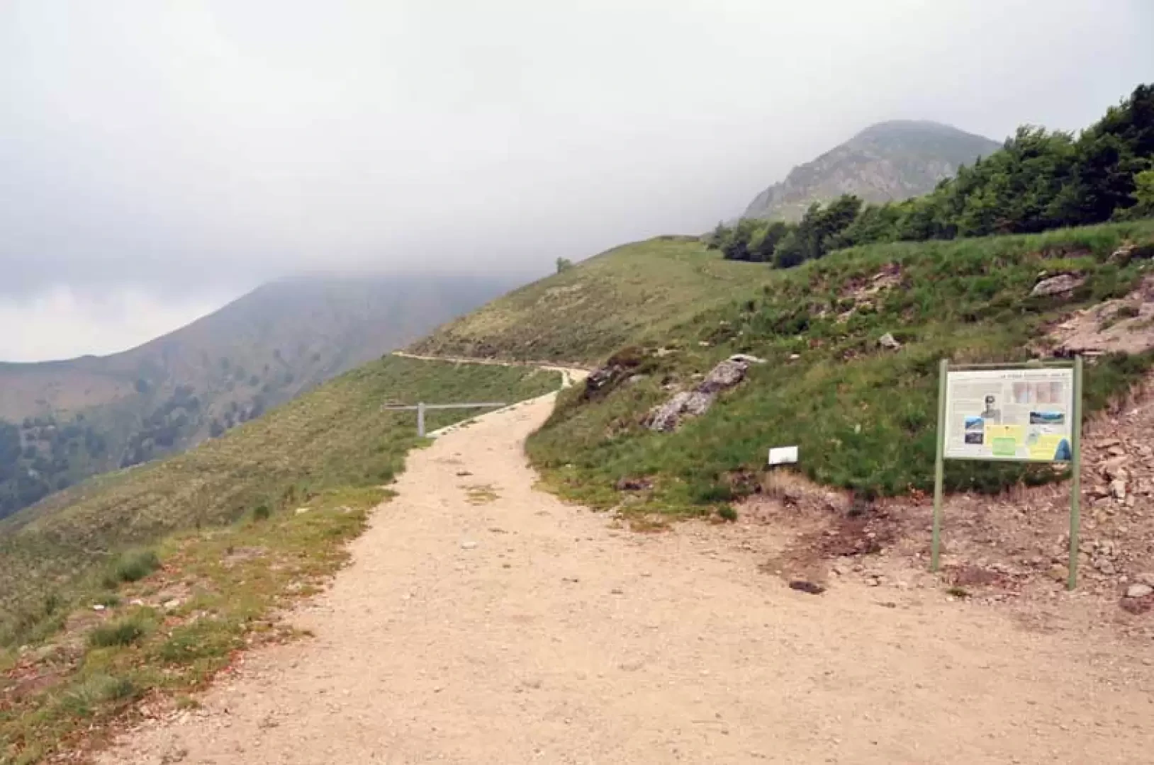
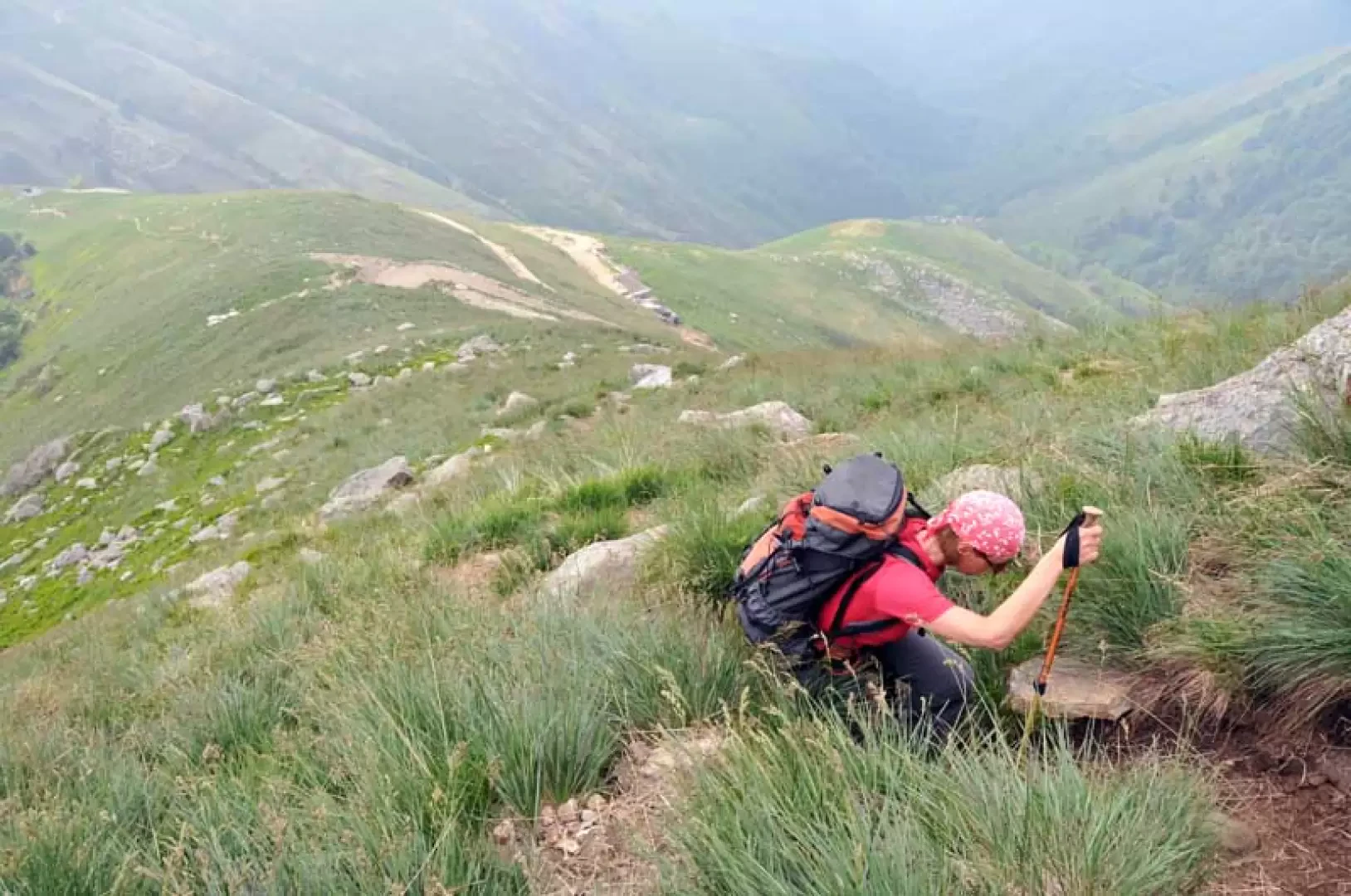
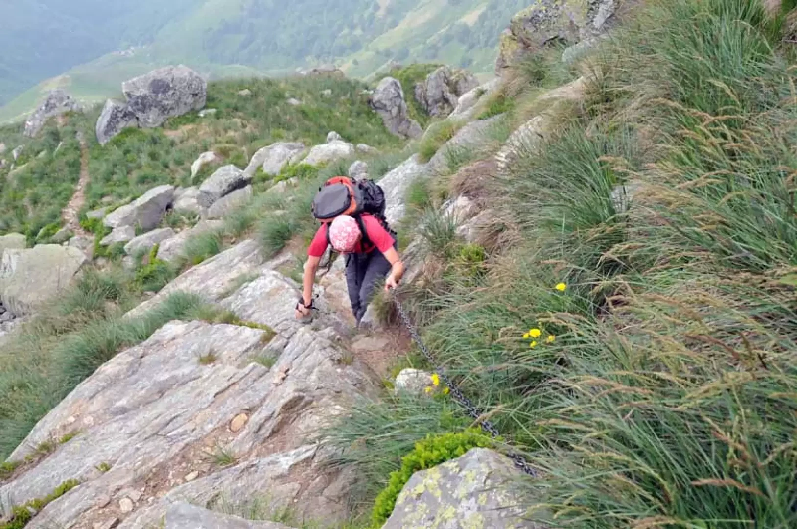
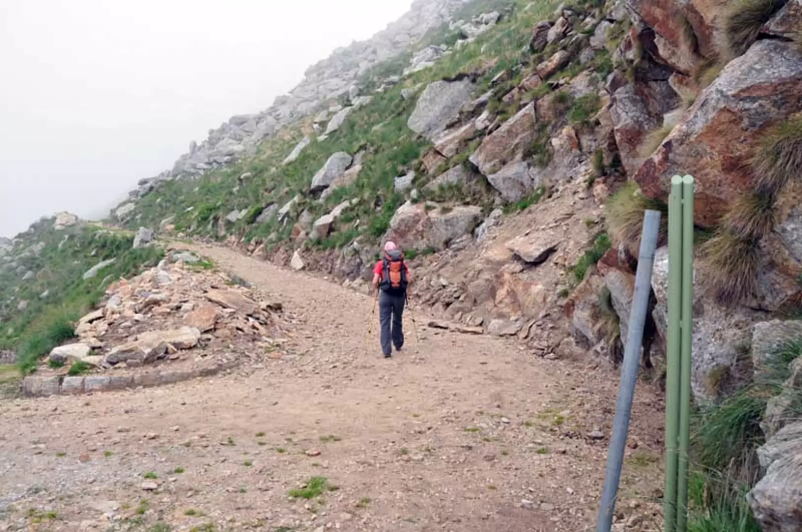
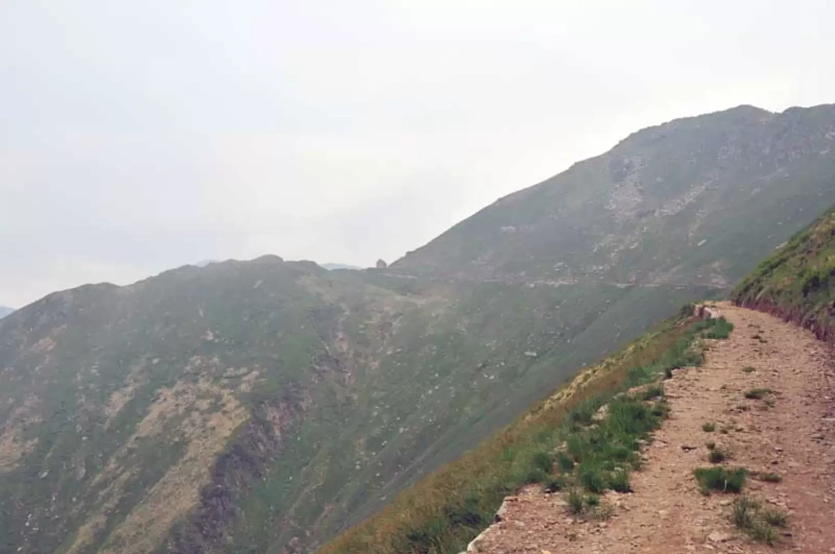
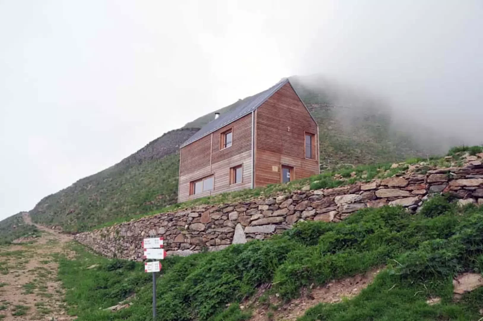
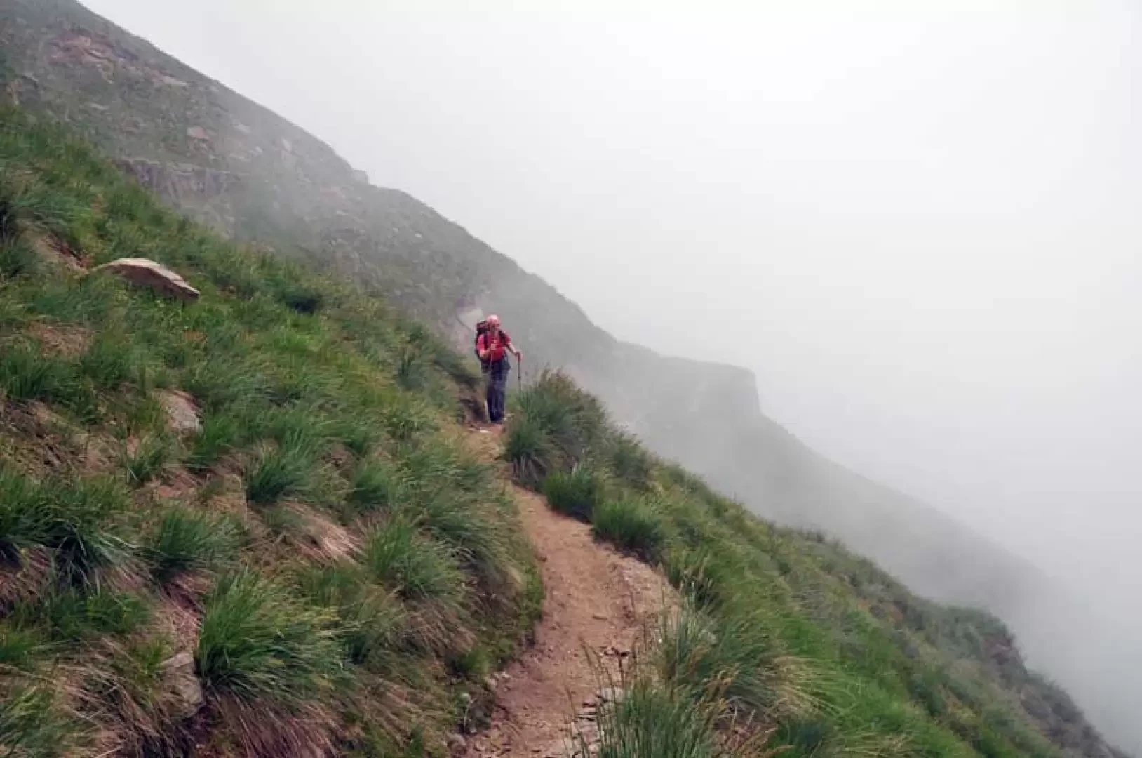
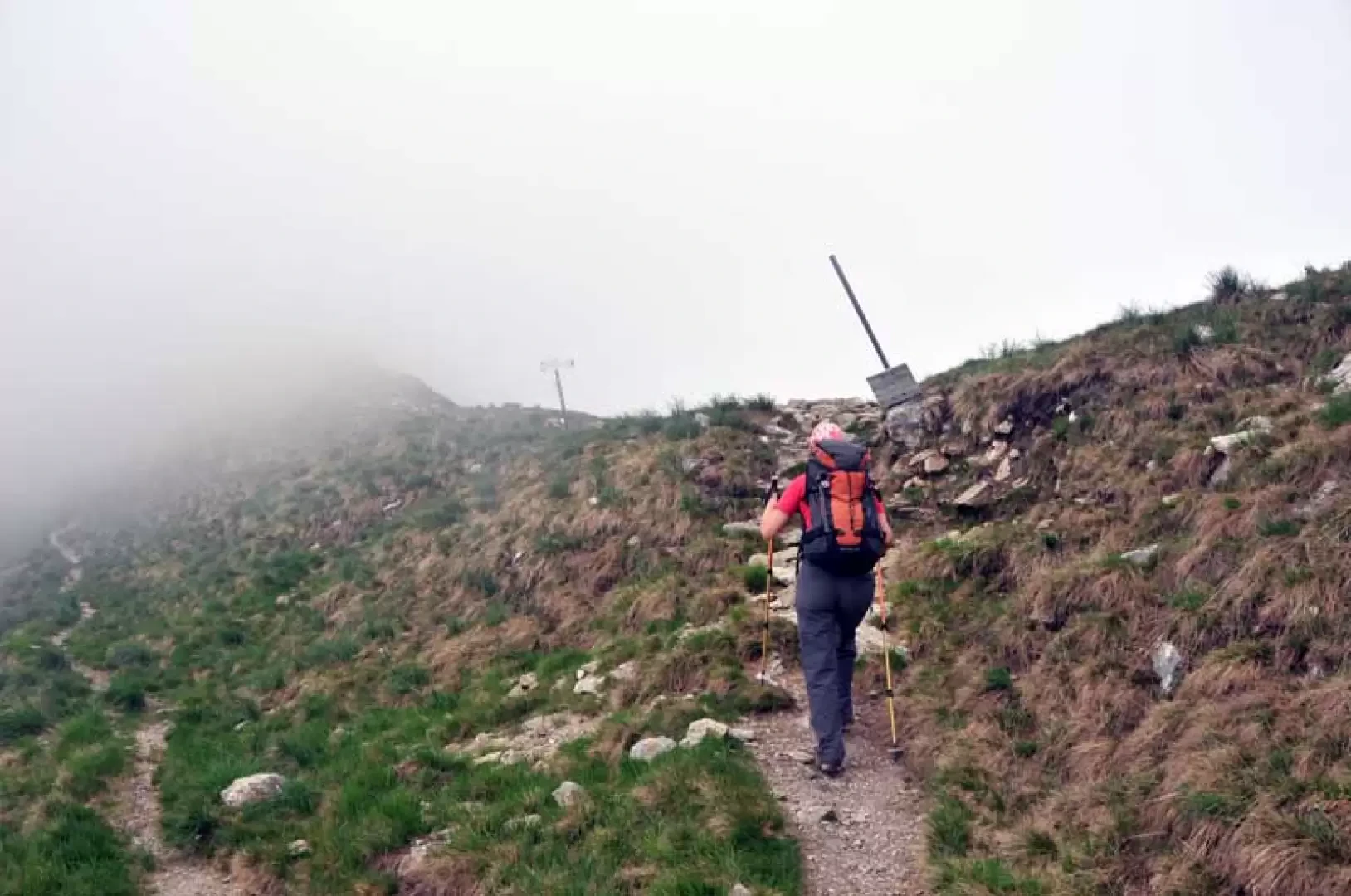
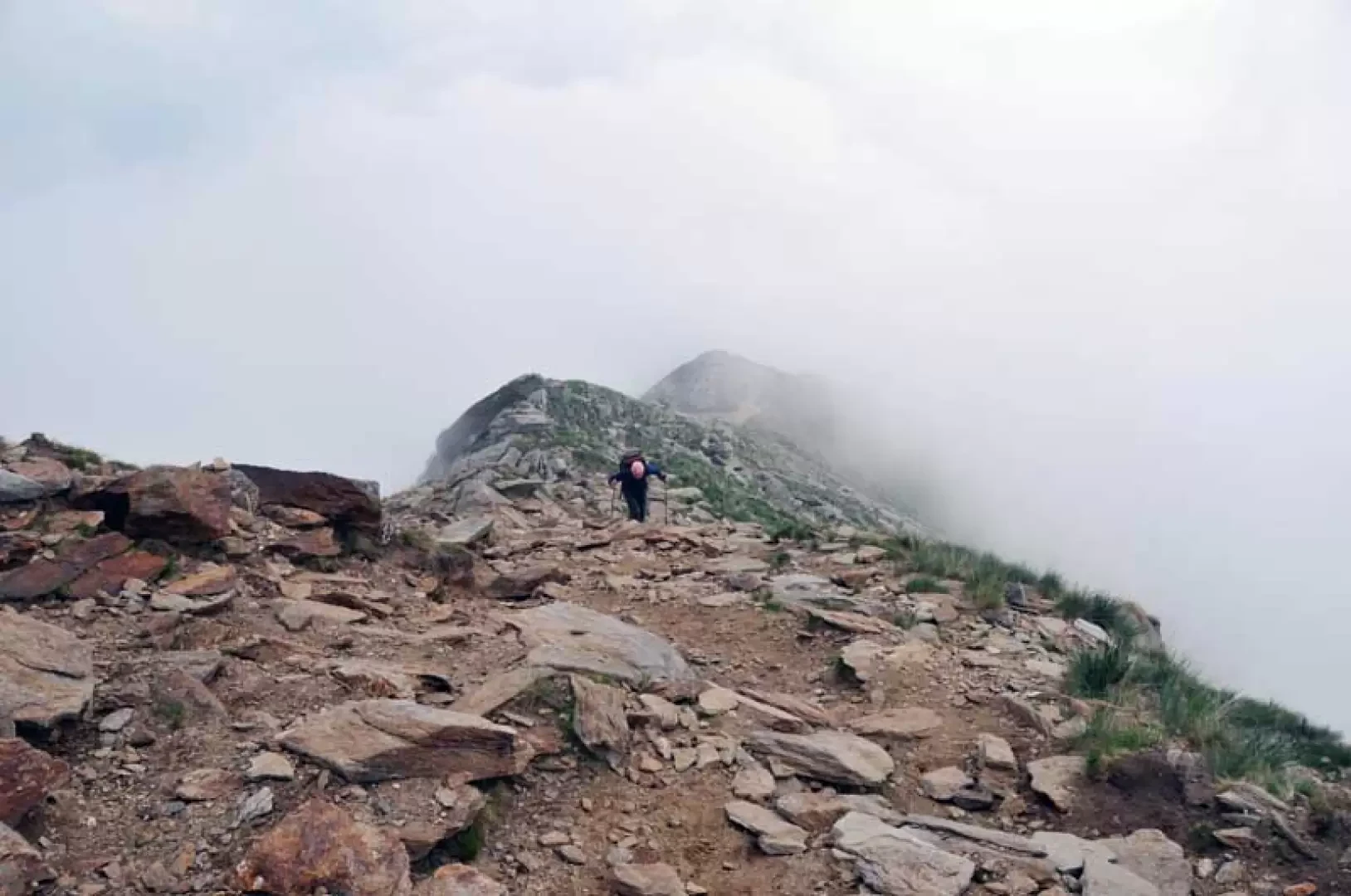
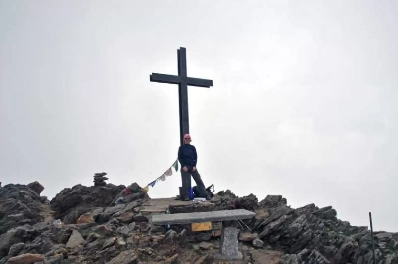
From the forecourt in front of the farmhouse, take the off-road track that passes to the right and with an almost flat and straight route you will soon reach Passo Folungo (1381m). From this point, turn right towards the evident signposts that indicate an ascent along the wide grassy ridge; continuing along the wide ridge that gradually becomes steeper, you pass a water outlet, leave the road on the left that crosses it (1434m) and arrive at a low rocky prominence with the aid of a short equipped section. Just above it, you come to cross the road again near a hairpin bend (1612m) and take it, now walking comfortably around Monte Vadà from below. From the road, you can already see the outline of the new Pian Vadà bivouac (1711m) at a hill, which you soon reach. Continue along the path to the left of the bivouac, passing by an explanatory panel of the "Linea Cadorna" (Cadorna Line), and continue along the path halfway up the hillside without an excessive gradient to reach a col (1834m), where there are some markers and from where the ascent of the crest that leads to the summit begins. The route first follows the line, never too narrow but with steep sides, and then shifts slightly to the south slope (Valgrande), climbing steadily up the stony path to the summit cross.
.Galleria fotografica