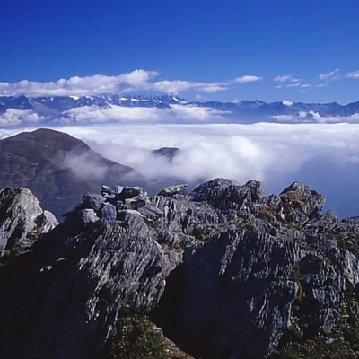
Mount Venerocolo
Access
By car from the Val Camonica (BS), turn left, shortly after the village of Cedegolo, into the Val Paisco in the direction of the Passo del Vivione, as far as the hairpin bend between km 16 and 17 (indicator board at the hairpin bend); there is a discreet car park about 100 m upstream of the hairpin bend (altitude 1532).
Introduction
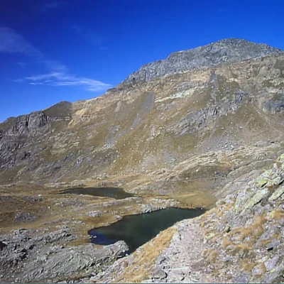
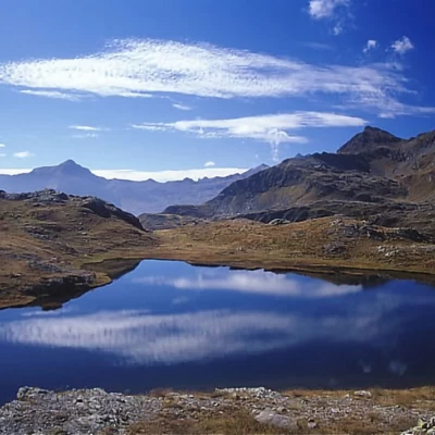
A wonderful excursion to a secluded corner of the Orobian Alps. The proposed tour is a little long, but you will pass lakes that are genuine gems, with a variety of landscapes that are constantly being photographed. Really recommended in early autumn, with its clear atmosphere, varied colours and fine air. From the summit, the panorama is first-rate, ranging from Bernina to Adamello and then Concarena and Presolana to the mists of the plains. The peak is also known as Monte Tre Confini, but the term Venerocolo has been retained here, as there is another Monte Tre Confini in the vicinity of Monte Gleno, in the same region a little to the west.
.Description
On foot, follow the cart track up the Sellero valley (barrier at the beginning), keeping to the right side of the valley. You reach a first plateau, after admiring the beautiful waterfall in the main valley. A second ramp leads to a second plateau, where the Malga Sellerino is located. At the height of the building, leave the main path of the gorge to take a track to the left, which often gets lost: a few wooden posts with red and white marks allow you to follow its course, which is still simple at the bottom of the gorge; with a last ramp, first over steep meadows and then over scree, you reach the Sellerino pass. With the S ridge on the right, you reach the summit of Monte Tre Confini (always keeping to the edge, sometimes leaning to the left, especially in the final part). So far, 3.30 hours. Descend to the opposite ridge NW at first along the flush, then to avoid a rocky section go directly N along a gully of scree aiming at the mule track below at a small lake. On reaching the mule track, follow it practically level as far as Passo del Venerocolo. Descend on the opposite side of the beautiful lake of the same name and then leave the turnoff for Schilpario on the right. The path now climbs slightly halfway up the slope below M. Tre Confini, reaching the beautiful San Carlo lakes and then with a long traverse, always halfway up the slope, never tiring, the Passo del Gatto carved into the rock. Descend on the SE side towards Passo del Vivione, now visible in the background, following the beautiful mule track with wide hairpin bends; by now, having reached Lake Valbona, it is best to reach it directly, avoiding the wide semicircle of the mule track on the opposite side. Continue along the mule track and finally along a cart track to Passo del Vivione. Unfortunately, to return to the starting point from here, there is no alternative but to follow the tarmac road on the Camonica side for about 4 km. Cartography
- Kompass map no. 94 scale 1:50,000
Cartography
- Kompass map no. 94 scale 1:50,000
