Monte Spigo, from Torriglia
Access
From Genoa, drive up the SS 45 road towards Piacenza until you take the exit for Torriglia (about 25 km from the Molassana district).
Introduction
The ring of Mount Spigo between Panteca Chapel and Costa Chapel from Torriglia
.Description
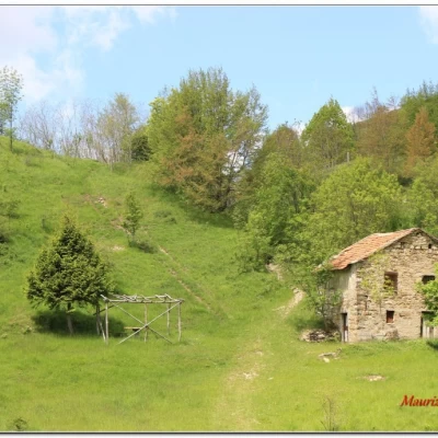
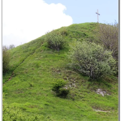
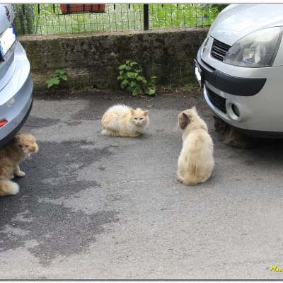
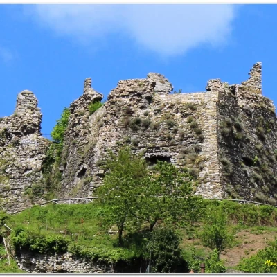
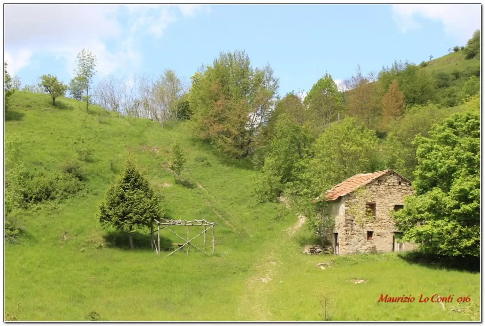
You park at Torriglia 764 m (from June to September it may be difficult for paid areas), go back and after a bend, turn right through the built-up area. There is a difficult point, due to the 2015 flood that lowered the level of the torrent (go ahead and then deviate, passing to the left, until you find the path again). You find the asphalt again, between beautiful little villas; then, you keep to the left, entering a dense forest (watch out for the many dogs guarding the houses...). Finally, you come out onto a grassy plateau to the right of which stands a stone house. Just above it is the Panteca Chapel (1h) where a festival is held every 29 August. One does not continue straight ahead, as would be natural, but turns sharply to the right on a steep incline, with a view that gradually opens up over Torriglia. At last you can see the summit and, with a final steep ramp, you reach the summit at 1128 m (20') with the cross that was affixed in 2007. Continue further and, with significant ups and downs, in about 30', cross the narrow carriageway that leads to Pentema (from the Pentema pass). Here we turn right and take a break at a bench; then continue on to Donetta (10' + 15'). Here a gang of mice plot who knows what... (see individual photos*). Instead of descending to Torriglia, we continue with the idea of reaching the top of Lavagnola. However, from Cappella della Costa 862 m (30'), given the length of the remaining part of the route and having seen a signpost indicating a 15' walk from Torriglia, we desisted. We begin the descent to the village (today we set off a little later than usual and so we prefer not to lengthen the trip too much...), which is reached in 20' (plus all the zig zags inside the characteristic village...). There is a beautiful view of the Torriglia Castle above, for a fairly peaceful little tour, with a few points of interest... All in all: a discrete day difference in altitude 400 mt Dif. E. just over 3h Total. plus all the breaks to see the various places encountered.
Photos trip:
http://cralgalliera.altervista.org/Torriglia016.pdf
http://cralgalliera.altervista.org/altre2016.htm
NB: In the event of an excursion, always check with FIE, Cai, any park authorities or other institutions, pro loco, etc, that there have been no changes that have increased the difficulties! No liability is accepted. This text is purely indicative and not exhaustive.
Info Hiking Section Cral Galliera: http://www.cralgalliera.altervista.org/esc.htm
trips 2016 at link: http://www.cralgalliera.altervista.org/gite016.pdf
General Information
Trail signposting: Trail marked with FIE symbols
Type of route: circular
Recommended period: April, May, October
Sun exposure: south
Objective Danger:none
Exposed Trails:none
Useful Equipment:normal hiking equipment
Water: Torriglia
