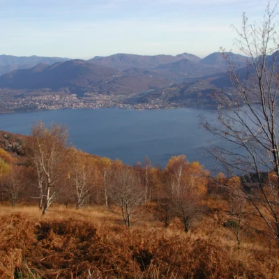
Mount Spalavera, from Colle
Access
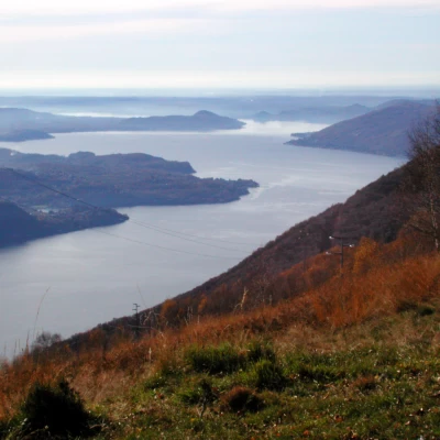
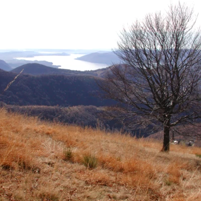
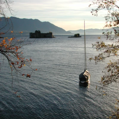
Exit the Voltri Sempione motorway at Verbania and follow the direction for Verbania, then, once in the town, continue towards Premeno and up to Pian Cavallo; continue after the Auxological Institute, along the road which becomes narrower, and arrive at Colle, where we stop. After the Auxologico centre, the road is very scenic, and at a certain point there is an open space, on the right, where you can park to look out over Lake Maggiore. For the return journey I recommend going down from Colle to Trarego and from there along the coast road that runs along Lake Maggiore, a route that offers beautiful views of the lake and the Cannero Castles.
Introduction
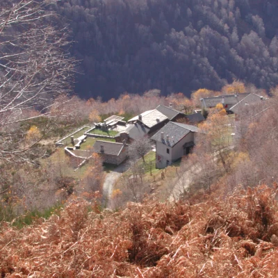
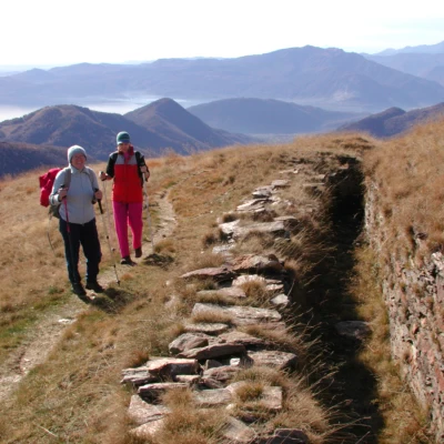
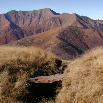
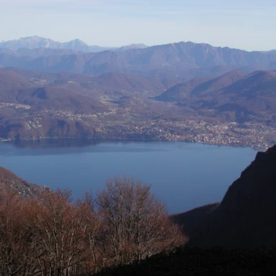
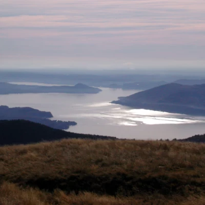
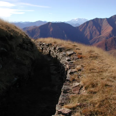
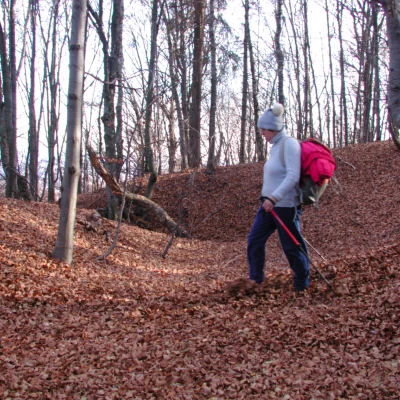
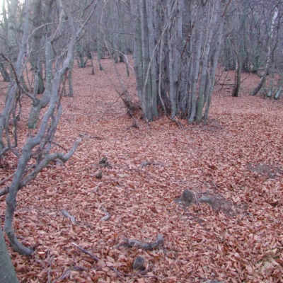
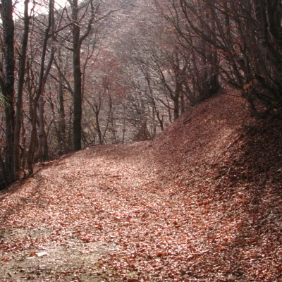
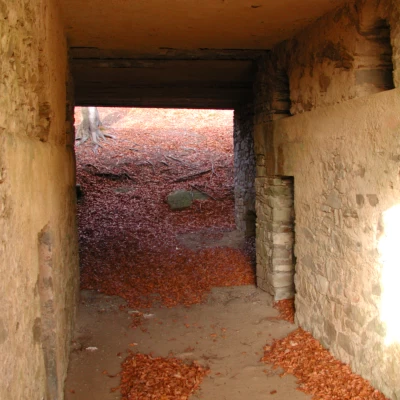
The ascent to Spalavera is short, but interesting, because it allows you to visit the trenches of the Cadorna Line, which are still very well preserved (for more information on the Cadorna Line and fortifications, see the introduction to the report at Cima di Morissolo) the fortifications of Cima d'Alpe and those of the Spalavara mountains, Bavarione and Vadà, defended the ridge that climbs from Piancavallo to Monte Zeda, and together with those that continue from Trarego to Colle, reinforced the batteries located in the cavern under Monte Morissolo. In Colle, too, you can visit the emplacements to the east of the car park, behind the fence of the houses; you get there by descending for a few dozen metres along the asphalt road from which we arrived and then climbing up the dirt road to the left. The lower roads, which connect the villages and hamlets in the area, now paved, are those built by General Cadorna, commander-in-chief of the Italian army during the First World War, to connect trenches, communication trenches, depots, tunnels, hospitals, and artillery positions; the general was born in Pallanza, and therefore an excellent connoisseur of these places. Those above are the mule tracks, dirt tracks, paths, now used by hikers on foot or by mountain bike. The Cadorna Line starts above Premeno, reaches Colle and Trarego with the present asphalt road, from Colle it continues with a dirt road to the Archia farmstead, reaches the Folungo pass, climbs to Pian Vadà, at 1836 metres, and from here reaches the saddle between Monte Marona and Monte Zeda, beyond there is the Valgrande, Pogallo and its courts. It was not continued because the war ended; after the war, only the carriage road to Cicogna was finished; in Cadorna's plans, it should have continued to Pogallo and from there to Zeda. From the summit of Monte Spalavera there is a beautiful panorama of Lake Maggiore, Monte Rosa, the Grigne, Monte Lema and Tamaro, Monte Zeda, and far away, Monviso.
.Description
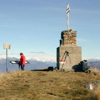
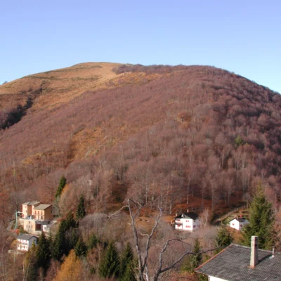
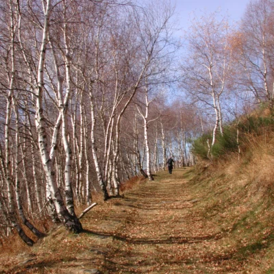
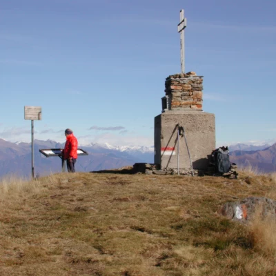
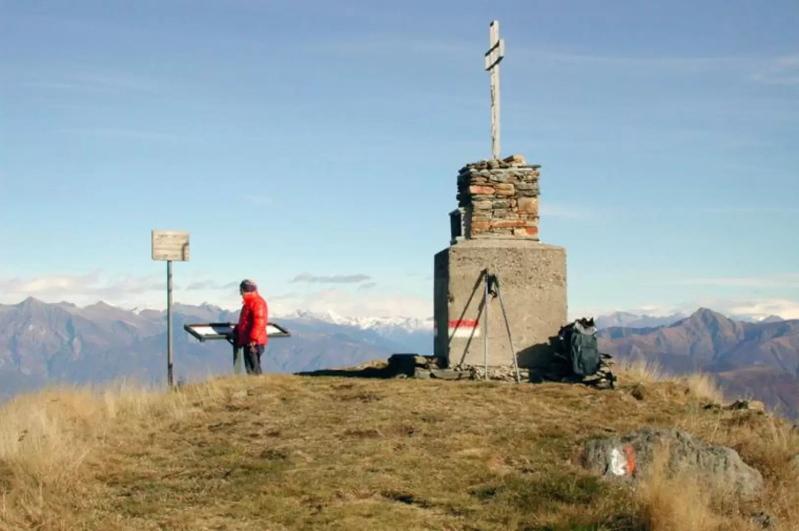
From Colle (1238m), passing by the monument to the partisans who fell during the War of Liberation, climb up what was once the old military road, which rises above the dwellings and with little slope but long traverses and wide hairpin bends, passing by fountains and military works, cuts across the south-eastern slope of Monte Spalavera while all around us the view sweeps over the lake below, the surrounding mountains and those further away. Near the summit, the mule track becomes a somewhat steeper path; there are three lines of trenches, and on the summit a spiral walkway protects the gun emplacements (1534m, 1h15'). The view sweeps 360 degrees; on the summit is a cross with a plaque: "...they are mountains, rugged mountains, they look like bridges ready for eternity...". Descent: descend to the north, first along the grassy slope, then among the rhododendrons, and finally in the beech wood, encountering other trenches until you reach a col, from which a cart-track, at times downhill, at times with ups and downs, bypassing the north and north-east sides of the Spalavera, takes you back to Colle and the car (45 minutes).
