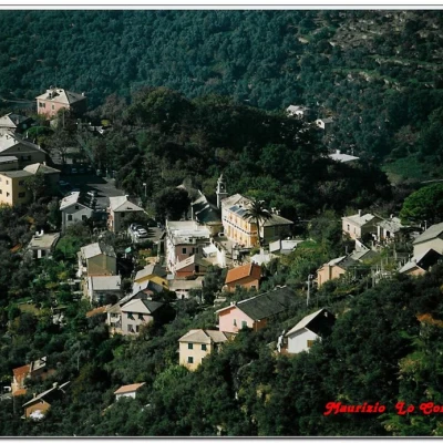
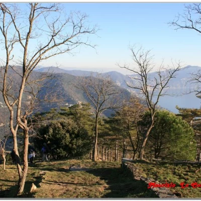
Monte Santa Croce, from Sant'Ilario
Description
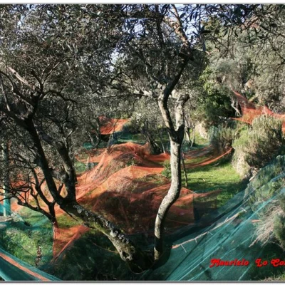
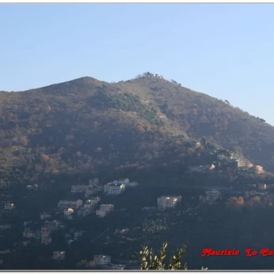
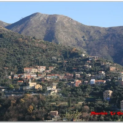
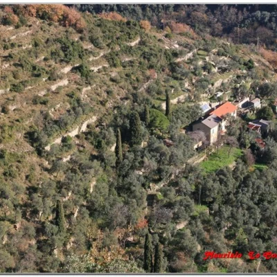
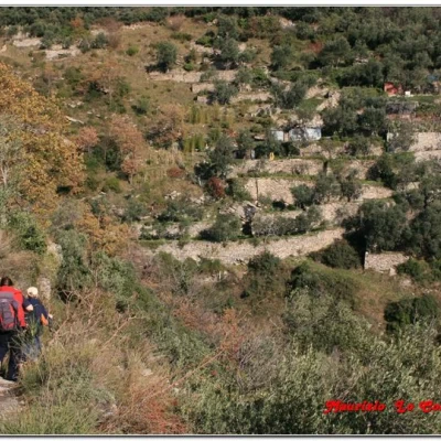
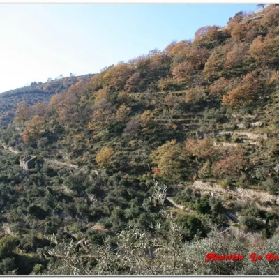
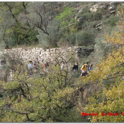
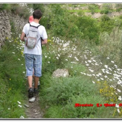
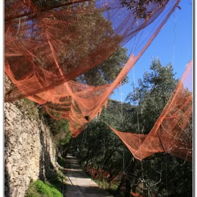
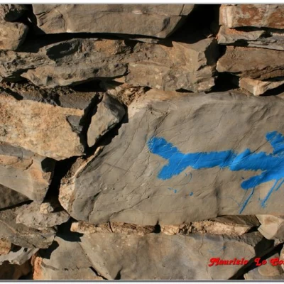
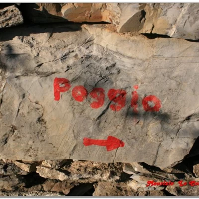
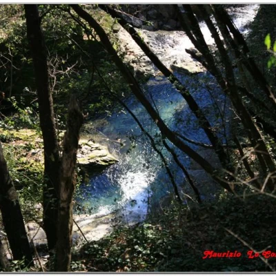
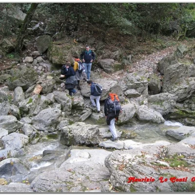
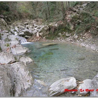
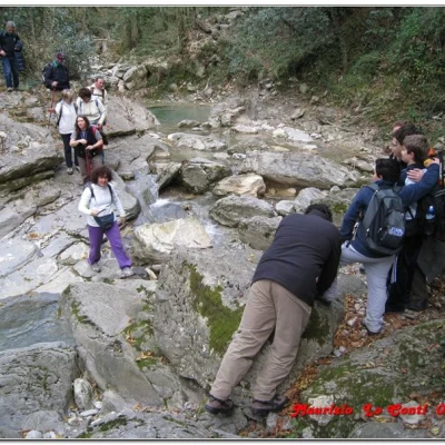
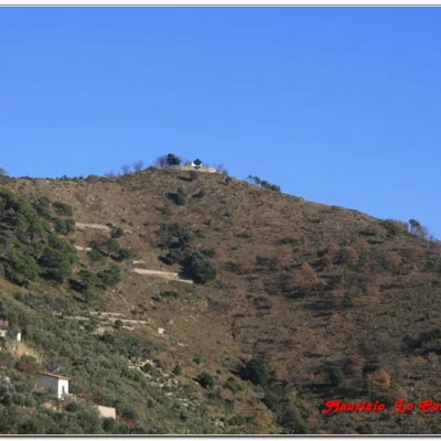
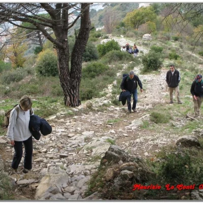
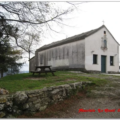
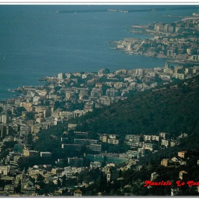
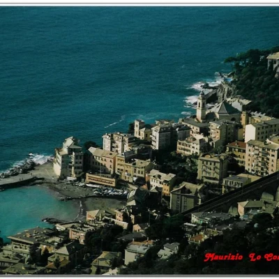
The excursion begins at the terminus of the Amt 516 urban line at Sant Ilario (185 m); walk horizontally and to the east along the church square to take via della Scuola dell'Agricoltura; when it ends, from the entrance to the school, take the uphill creuse on the left (via Lastrego) and, immediately afterwards, on the right, via L. Cremona. Arriving at an old washhouse, we take via Poggetto di Sopra, which climbs up through olive groves to Serra di Musanega (270 m). Here there is a wide view of the Gulf of Paradise and we head along via Serra di Musanego (eastwards). You continue along the coast on a scenic route, but partly obstructed by the adjacent motorway, arriving at Sessarego. From there, you cross the village to the trattoria Paradiso, near a crossroads. One ignores the downhill path to the right (with the main path one quickly descends to Bogliasco) and the stairway to the left (which follows a high variant apparently more difficult to negotiate). Instead, one opts for the lane that on the level flanks the building with the trattoria on the left and continues between strips. One notices blue arrows alternating with red ones, which help in this part of the path that is little frequented. You pass a small stream and a ruined house on the left, while the motorway viaduct is getting closer and closer (the path can be difficult, almost EE, due to the thick weedy vegetation and if it becomes too much you can always retrace your steps and use the variant from Sessarego to Bogliasco mentioned earlier). Before arriving at the locality of Poggio, we cross a stream, which forms beautiful little lakes and, given the abundance of water, presents some minor problems in crossing it... Afterwards, we continue uphill on tarmac to the piazzale di San Bernardo (217 m ), where there is the 'Il Tipico' restaurant. Here you cross the FIE signpost a dot and a red line. The right branch descends in 30' to Bogliasco (for those in a hurry), while the left branch goes towards S. Croce. The summit, presided over by a beautiful little church, is situated at about 516 metres and can be conquered in 40/50 minutes (in the last stretch, leave the FIE sign and turn right on an evident track, towards the visible structure). The panorama is extensive and a long break is well deserved. From there, you retrace your steps to S. Bernardo, to quickly descend (in all, about 1h from the summit) to Bogliasco, with the point and red line symbol. The total distance covered is about 4h (3h outward and 1h downward - not returning to S.Ilario, but descending immediately to the riviera the return is quick).
At Aurelia on the right in 15' you return to Capolungo, where the Amt buses pass, while on the left, a few metres away, is the railway station (use the pedestrian crossing).
NB: it is also possible to walk up from Nervi to Sant'Ilario (almost 1h more to add to the basic route described here) following the directions for the first part of the route (up to the Church of S. Ilario, at an altitude of 185) found at the link: http://www.inalto.org/content/il_balcone_di_nervi
More info at the links
http://escursionismogalliera.xoom.it/idea/07.pdf page 3
http://escursionismogalliera.xoom.it/articles/nervicamogli.pdf
and also at
http://escursionismogalliera.xoom.it
NB: in the case of an excursion, always check with FIE, Cai, any park authorities or other institutions, pro loco, etc, that there have been no changes that have increased the difficulties! No liability is accepted. This text is purely indicative and not exhaustive.


