Monte San Martino and Corna di Medale

Edited by:
Marco Bonati
Updated at: 28/07/2024
Introduction
In the huge choice of hiking routes around Lecco, with this combination of equipped trails, two of the most emblematic peaks in the area are reached via lesser-known routes. The technical difficulties are truly modest and the interest of the excursion is linked to the extraordinary panorama that accompanies the entire route. There are plenty of painted signs along the trails, but often (especially along the return route) the directions are not indicated at the forks.
Description
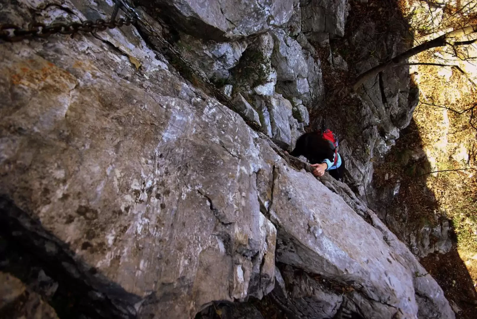
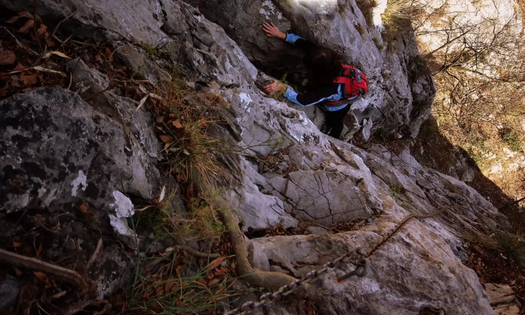
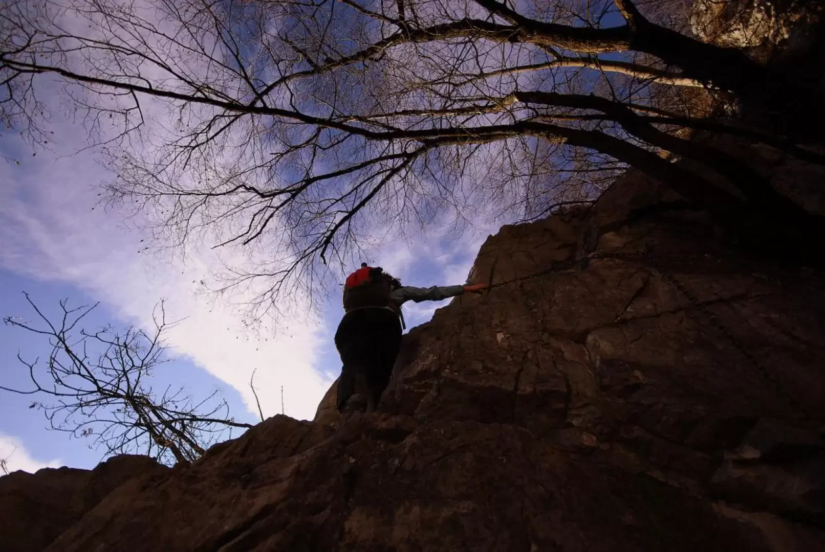
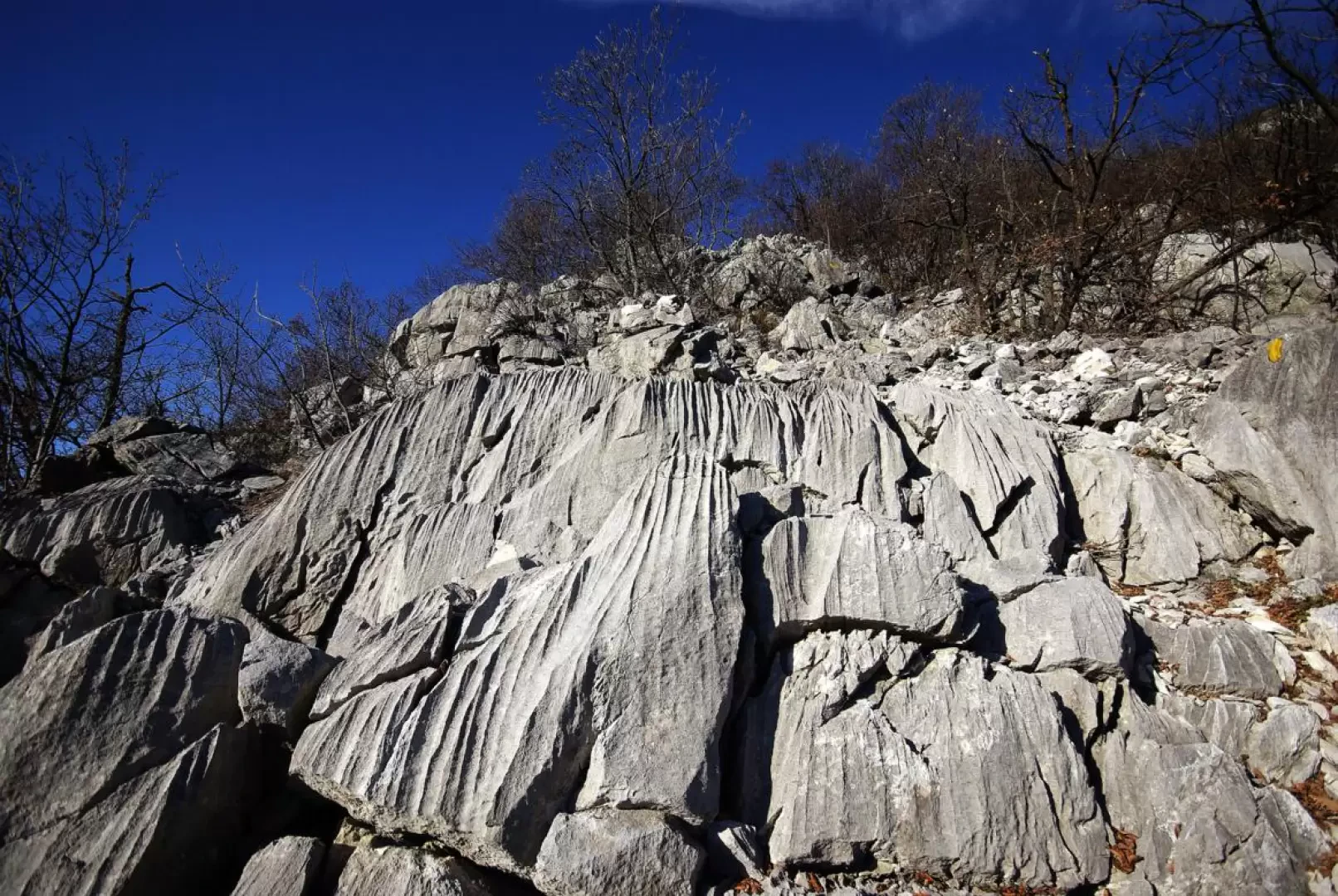
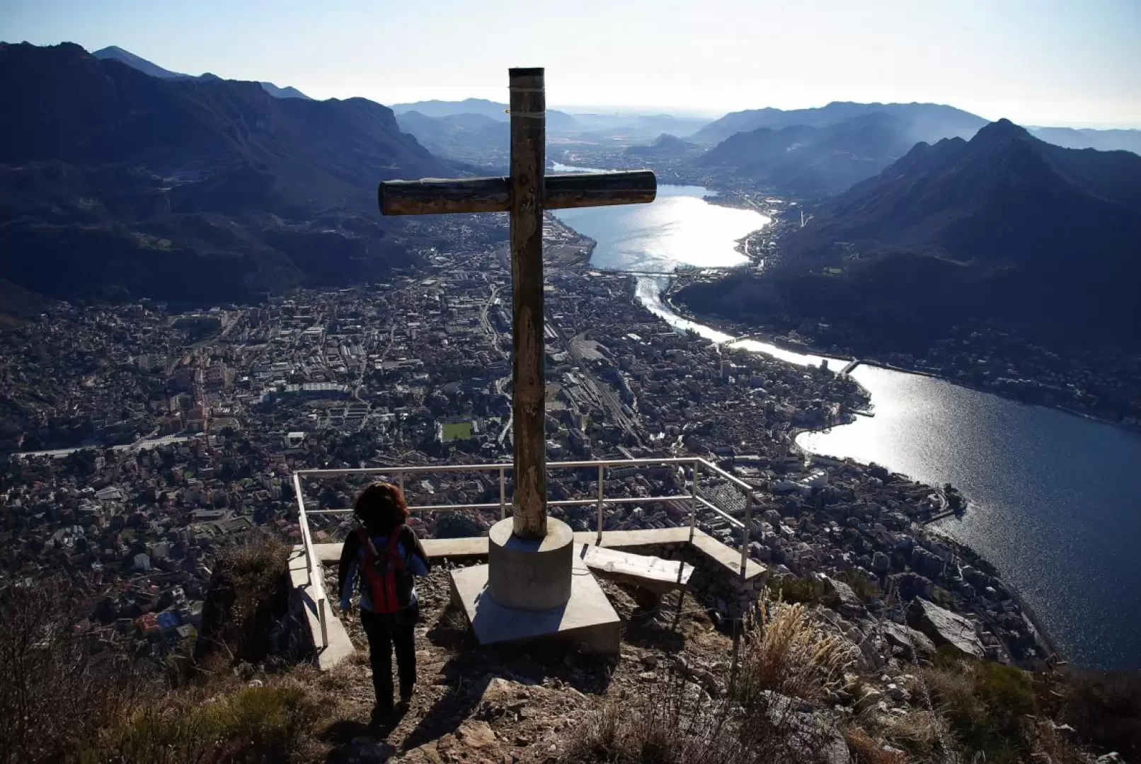
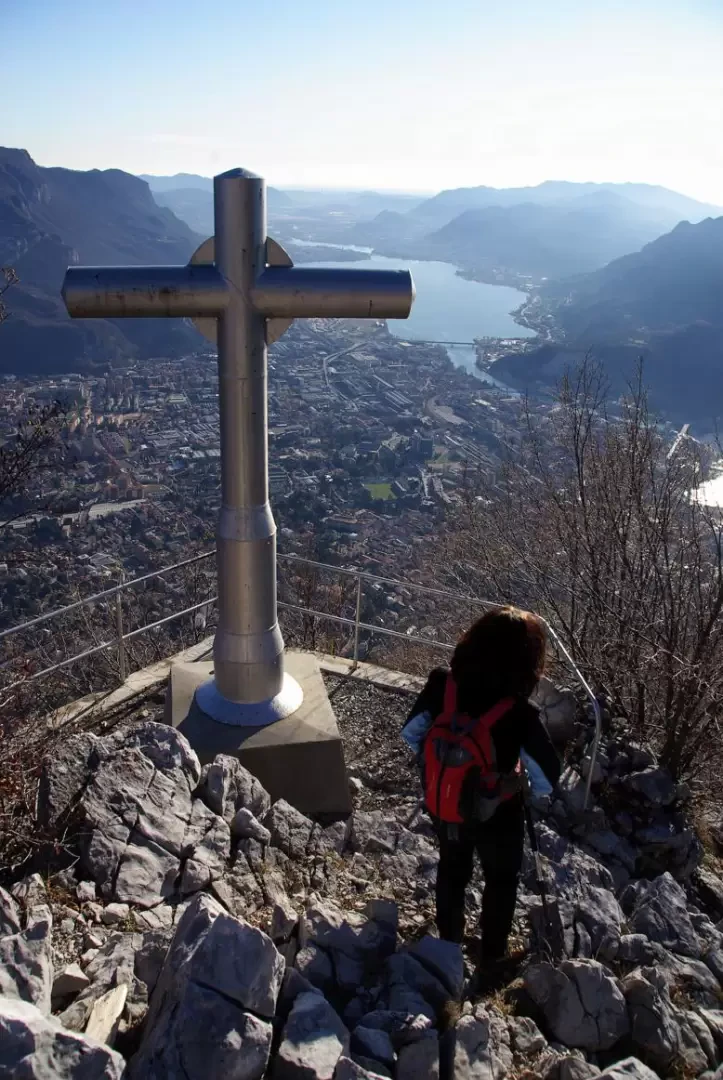
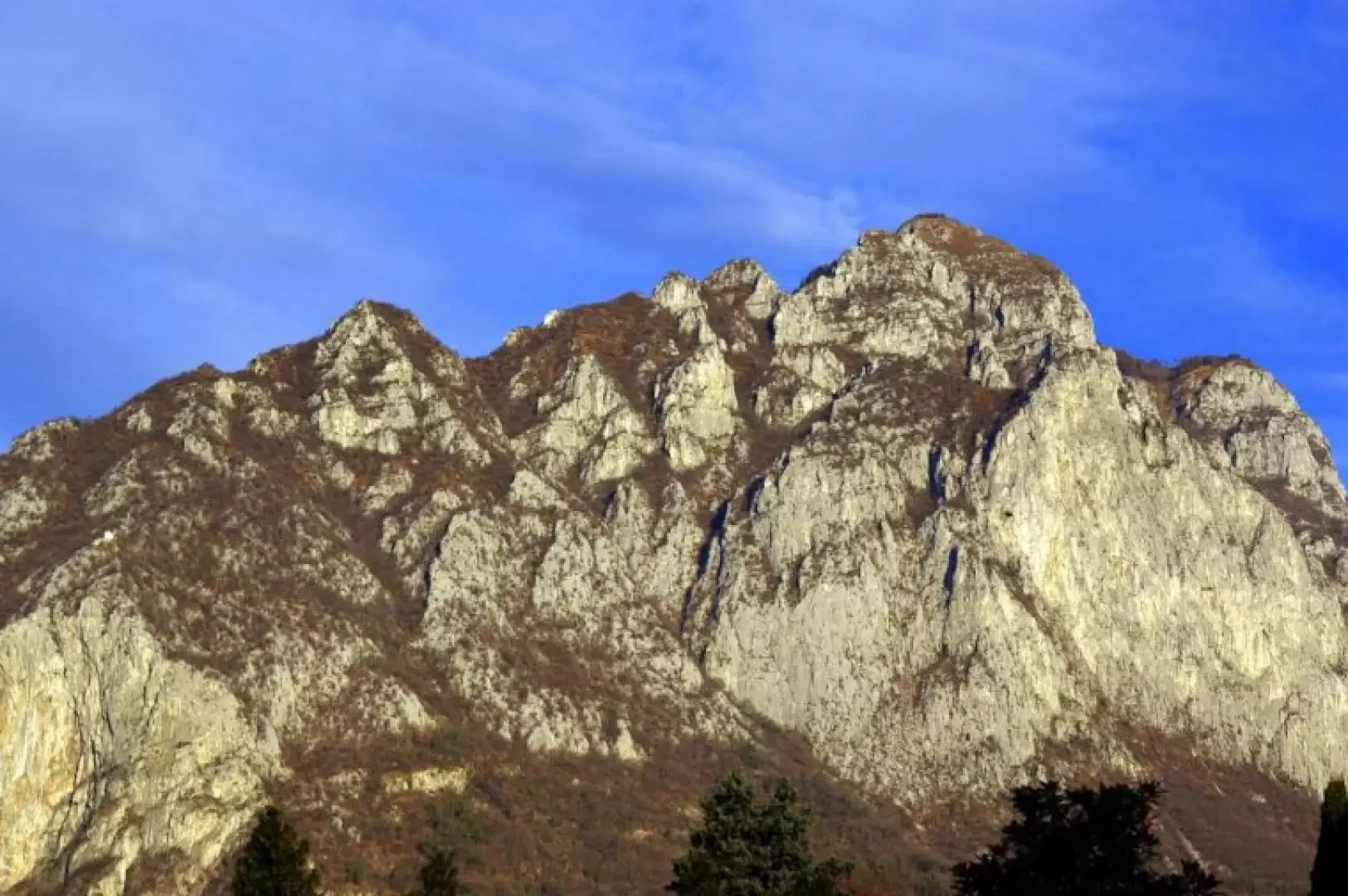
From the widening near the cemetery about 400 m, take a steep asphalt road uphill (barrier always open); at the first fork, turn left onto a flat road and continue until just beyond a hairpin bend, where a signpost indicates to climb a flight of steps. The steep flight of steps leads near a rockfall net where the mule track for Monte S. Martino begins; the track climbs up the stony forest for a few hundred metres until it reaches an area of compact rocky slabs (Palestra del S. Martino), where a small arrow on the trunk of a tree invites us to detach ourselves from the main direction and continue left on the Sentiero della Vergella. A short up-and-down traverse leads to the base of a sort of rocky gully: here begins the long chain (for progression, not safety) that allows you to ascend the easy slabs to the left until you reach, via a ledge, a sort of panoramic pulpit. We then continue on easier terrain, always rocky, alternating between gravelly stretches and compact rock jumps in the sparse oak forest. At the crest of the ridge, you reach the chapel of the Madonna del Carmine 746 m, with a terrace overlooking Lecco, the lake and the Adda valley. A marker on the right side of the chapel indicates the start of Sentiero Silvia, which continues the ascent line along the coast towards the visible peak of Monte S. Martino. The trail climbs up the thicket with regularity and, after approaching the Baita del Falco (cable car), passes a couple of rocky jumps that are not particularly challenging but a little exposed. At a saddle on the side of the lake, the path converges with the main route - coming from the Rifugio Piazza below - for the summit; a traverse protected downstream by a chain makes it possible to reach the very panoramic pulpit with the 'Crocione' of Monte San Martino 1046 m. Looking to the left towards the entrance to the Valsassina, one notices the peak, with a similar cross, of the Medale [a very well known alpinistically rock face, traversed by dozens of difficult climbing routes]: it can be reached via a small path up and down the hillside, sometimes exposed, to the signposted junction at Bocchetta della Medale 1020 m. Here, neglecting the main route to the left (Monte Coltignone and Piani Resinelli), turn right along a thin, jagged ridge that, amidst the bushes, sometimes leaning on the sides, reaches the cross at the summit of the Medale wall 1029 m. [The actual summit is occupied by a landing pad for rescue helicopters]. For the return journey, follow the same path to the junction - previously indicated - for the Rifugio Piazza and proceed on a steep descent alternating with flat traverses, to the Cappella della Madonna del Carmine (at two unmarked forks, keep to the left). From the terrace, neglecting the Sentiero della Vergella, follow the steps of the S.Martino mule track, rejoining the ascent route near the slabs of the rock gym. From here back to the car park for the outward route.
Galleria fotografica