Monte Rotondo, from Vaud
Introduction
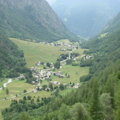
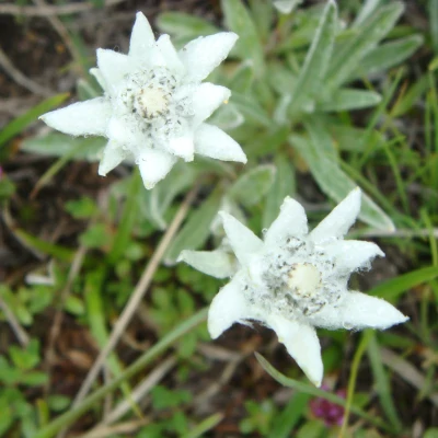
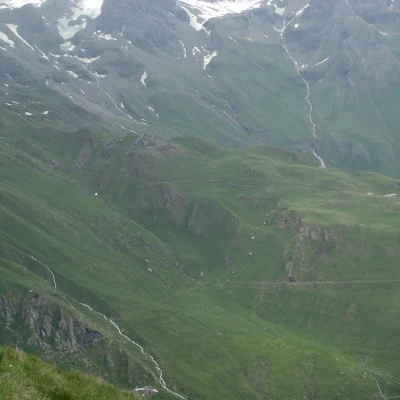
The hike takes place for the most part on dirt tracks that are not at all monotonous and have gradients that have nothing to envy to mountain trails. From the summit, Monte Rotondo offers, in addition to the many edelweisses, an enjoyable panorama of the green basin of Ollomont and the peaks that surround it, from the Grand Combin group to Mont Gelé and the valleys that descend from them.
Description
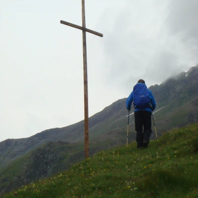
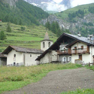
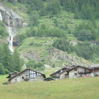
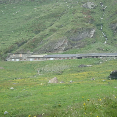
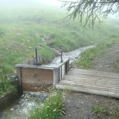
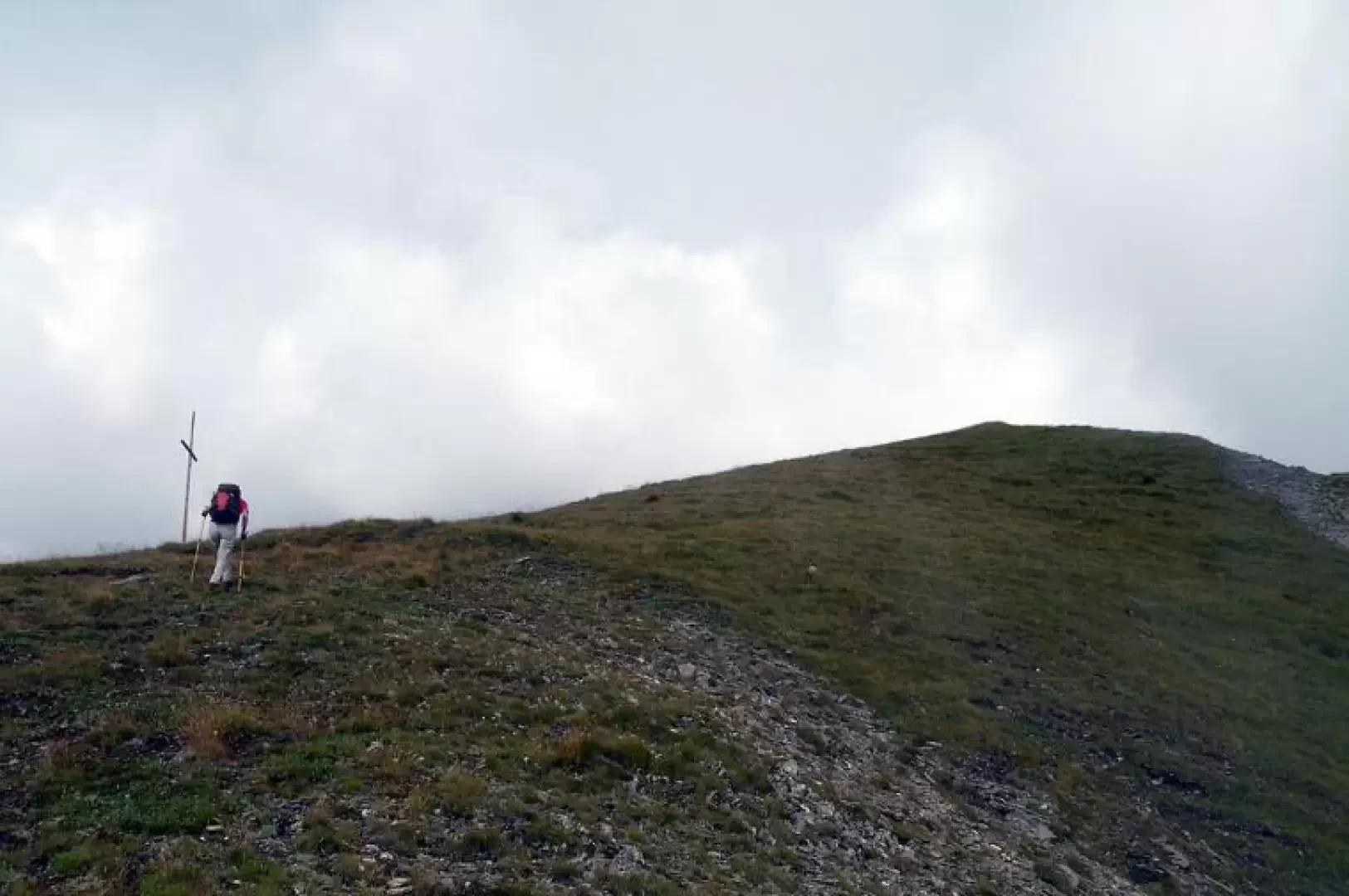
From the car park, head towards a series of wooden huts on the left as you leave the village, where, near a small chapel, you will find the starting points for the itinerary. The path rises through the low pastures until it soon reaches a hut and, turning just to the right of it, crosses a dirt road that climbs to the left at a good gradient. Following the hairpin bends, you pass a few water taps and, after a few steeper hairpin bends, make a traverse halfway up the slope to reach the Chevrière alpine pasture (1928m); after passing it, go up another couple of hairpin bends and cross a wide dirt road that, turning left, now climbs slightly. A little before reaching the alpine pasture of Togne (2070m), there is another dirt road that climbs to the right and after a short, slightly uphill stretch, you arrive at the Ansermin hut: looking up now, you can see the cross that you will have to reach. You cross the Tour des Combins mule track (from this point on, the route will no longer be marked by the yellow marks) and continue until you come to a subsequent crossroads in view of an alpine pasture: turn right and after a few hairpin bends where the gradient increases slightly, you will reach the Tsa d'Ansermin alpine pasture (2388m) where you will find yourself in front of the outline of our destination. We pass in front of the hut and now spot a number of tracks heading eastwards and skirting the slopes of the mountain; walking along the track, which at times is not very evident, we must try to stay on the higher one which, with a slightly exposed but panoramic route, reaches below the vertical of the peak. Following the track, which becomes more and more shaky, one ascends laboriously and directly towards the visible cross until reaching a small area of small debris and broken rocks; one then arrives at a sloping rock that contours to the right and, walking along the short ridge, one soon reaches the wooden cross of the summit and immediately afterwards arrives at the grassy cusp of the peak.
.