Monte Roggione , from Rifugio Ponte


Edited by:
Marco Bonati
Updated at: 05/10/2024
Access
From Milan to Sondrio along state roads 36 and 38; at the roundabout at the entrance to the town turn left towards Valmalenco. Drive up the valley and past Lanzada: after two dark tunnels, at a hairpin bend, passing under a wooden arch (marked "Rifugio Ponte"), park in a wide dirt track.
Introduction
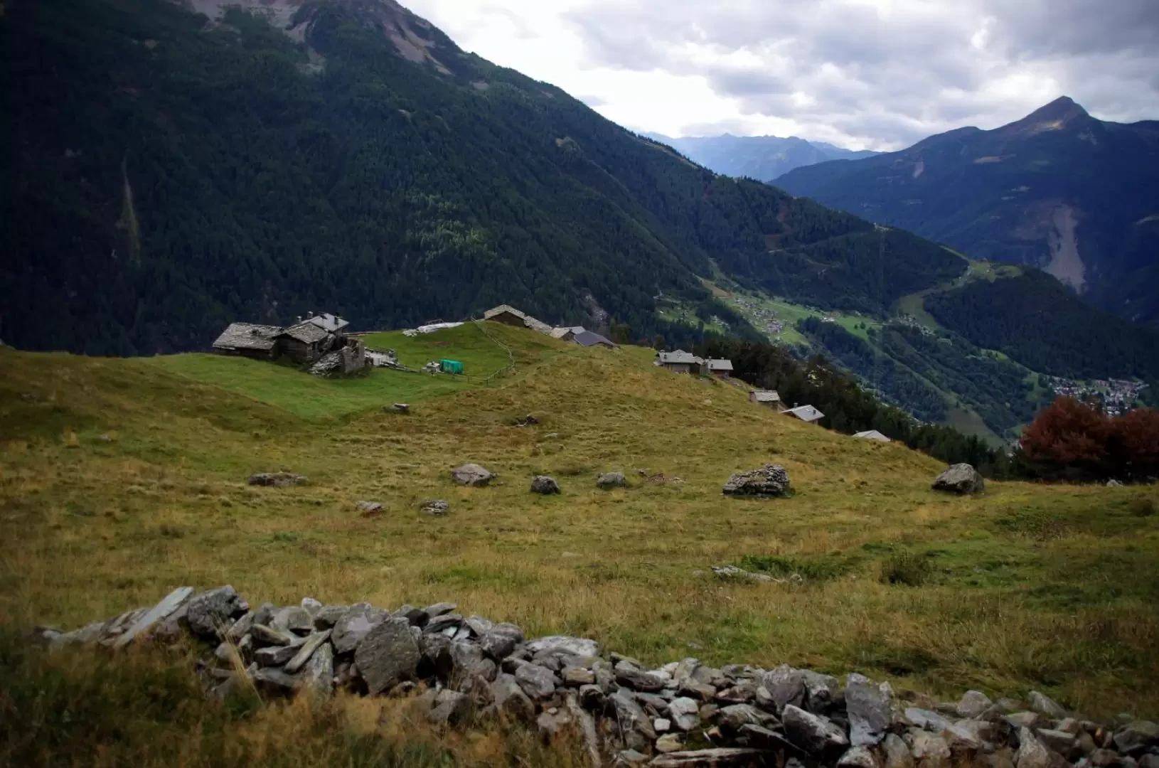
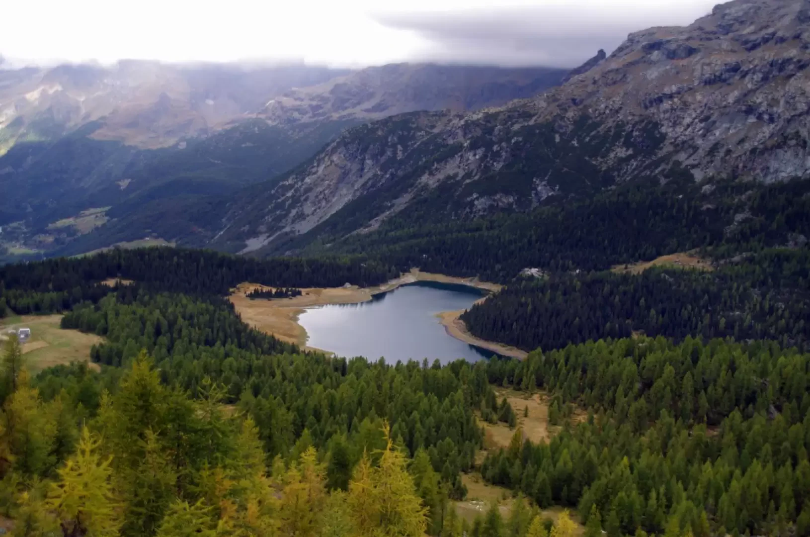
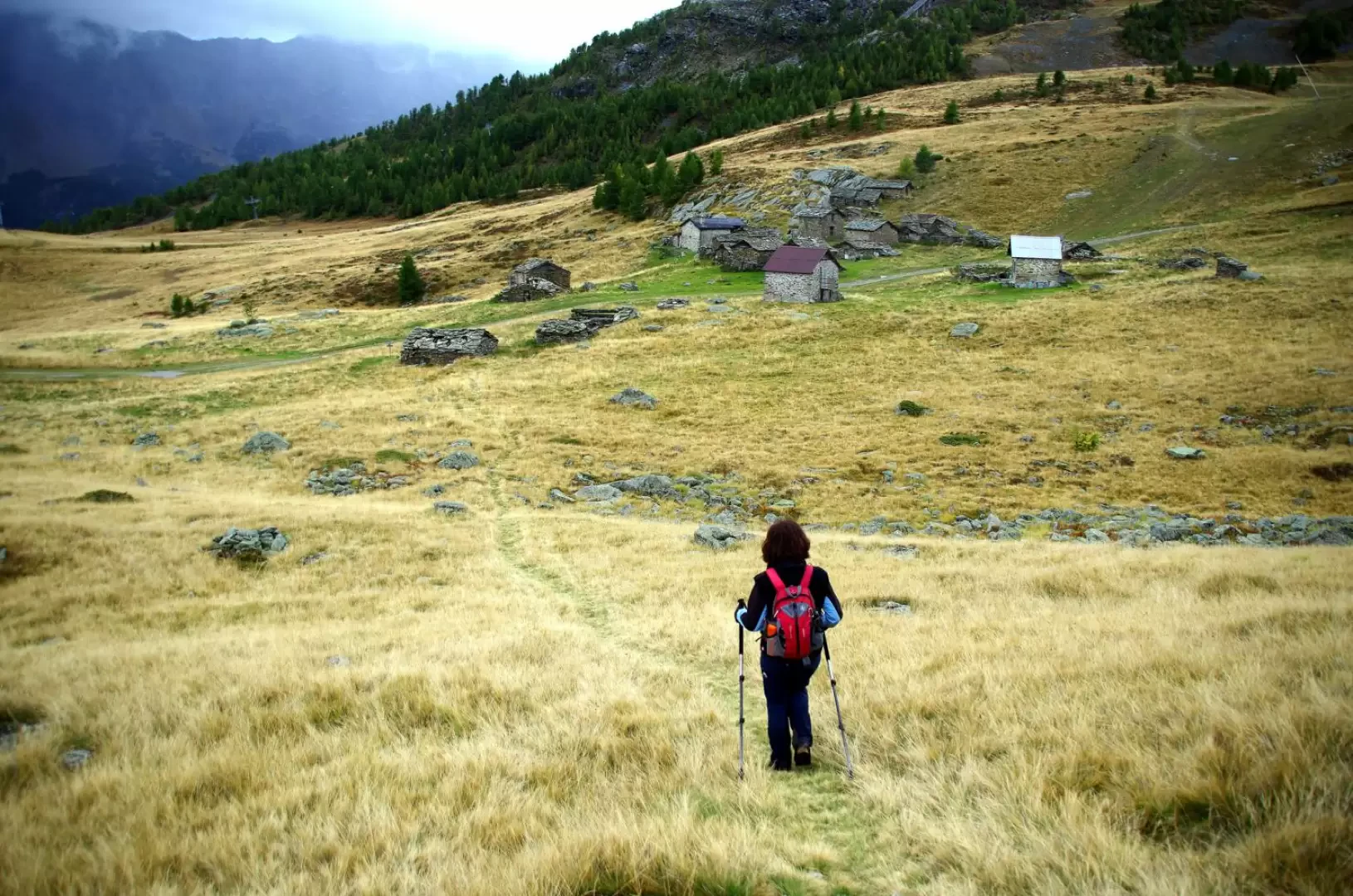
Little-known, but extremely scenic location on the basin of Lake Palù and the northern slopes of the Disgrazia group peaks. Unfortunately, the entire area around Monte Roggione is devastated by the ski slopes and their facilities and services.
Description
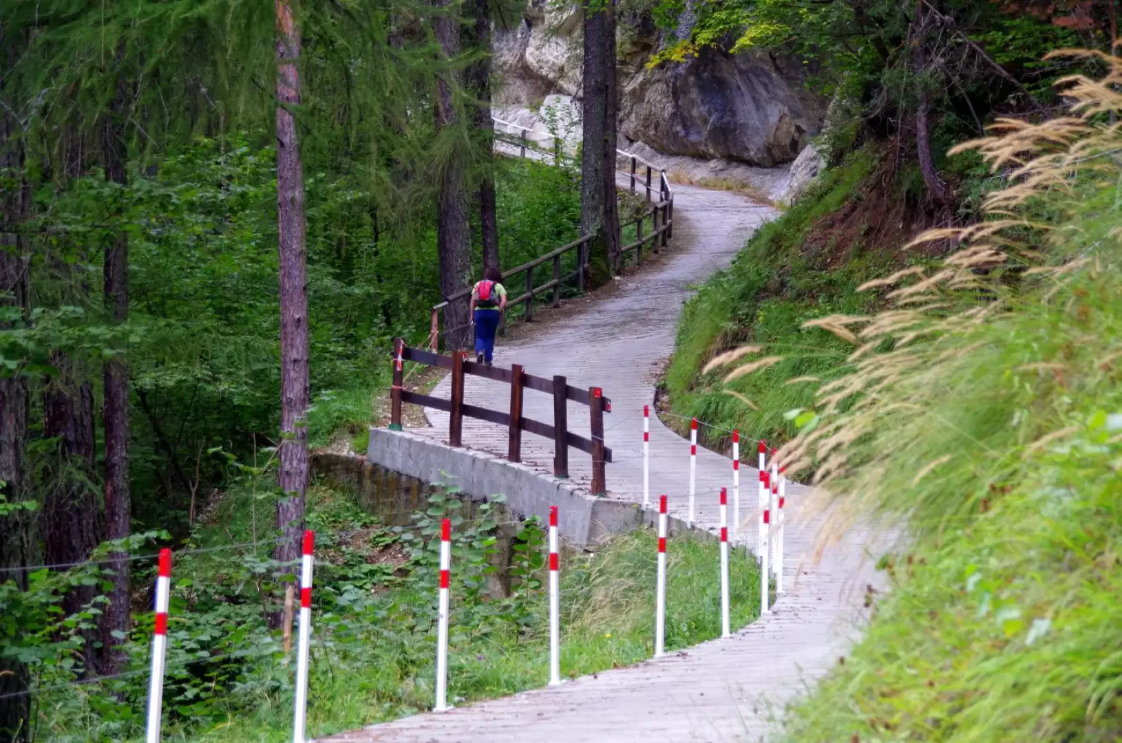
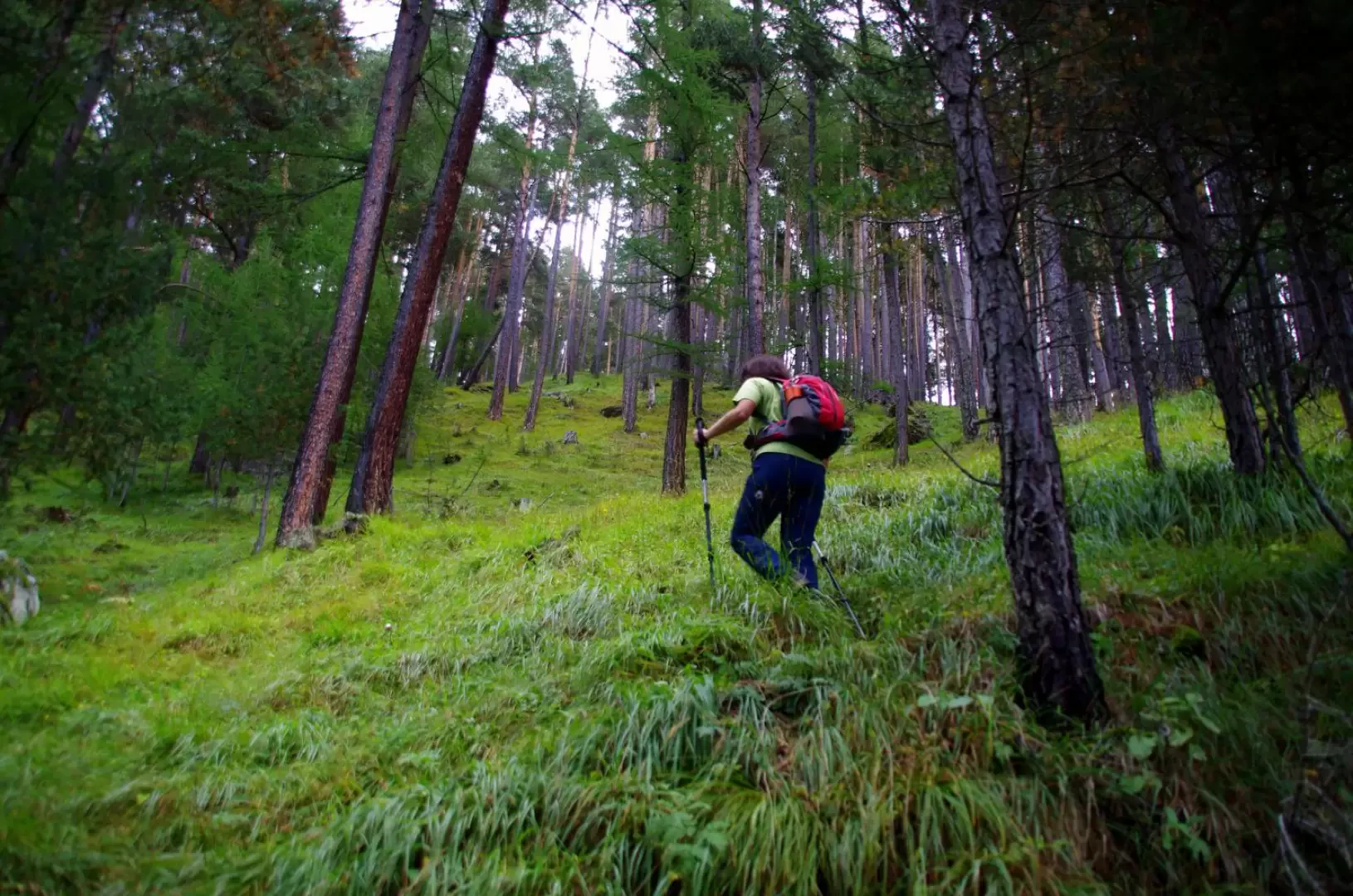
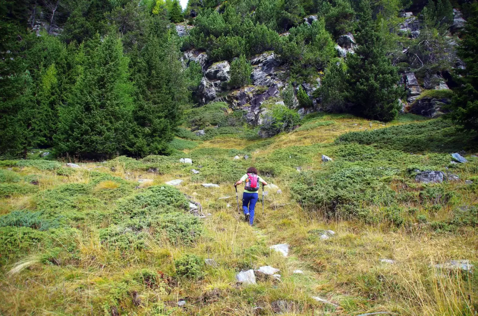
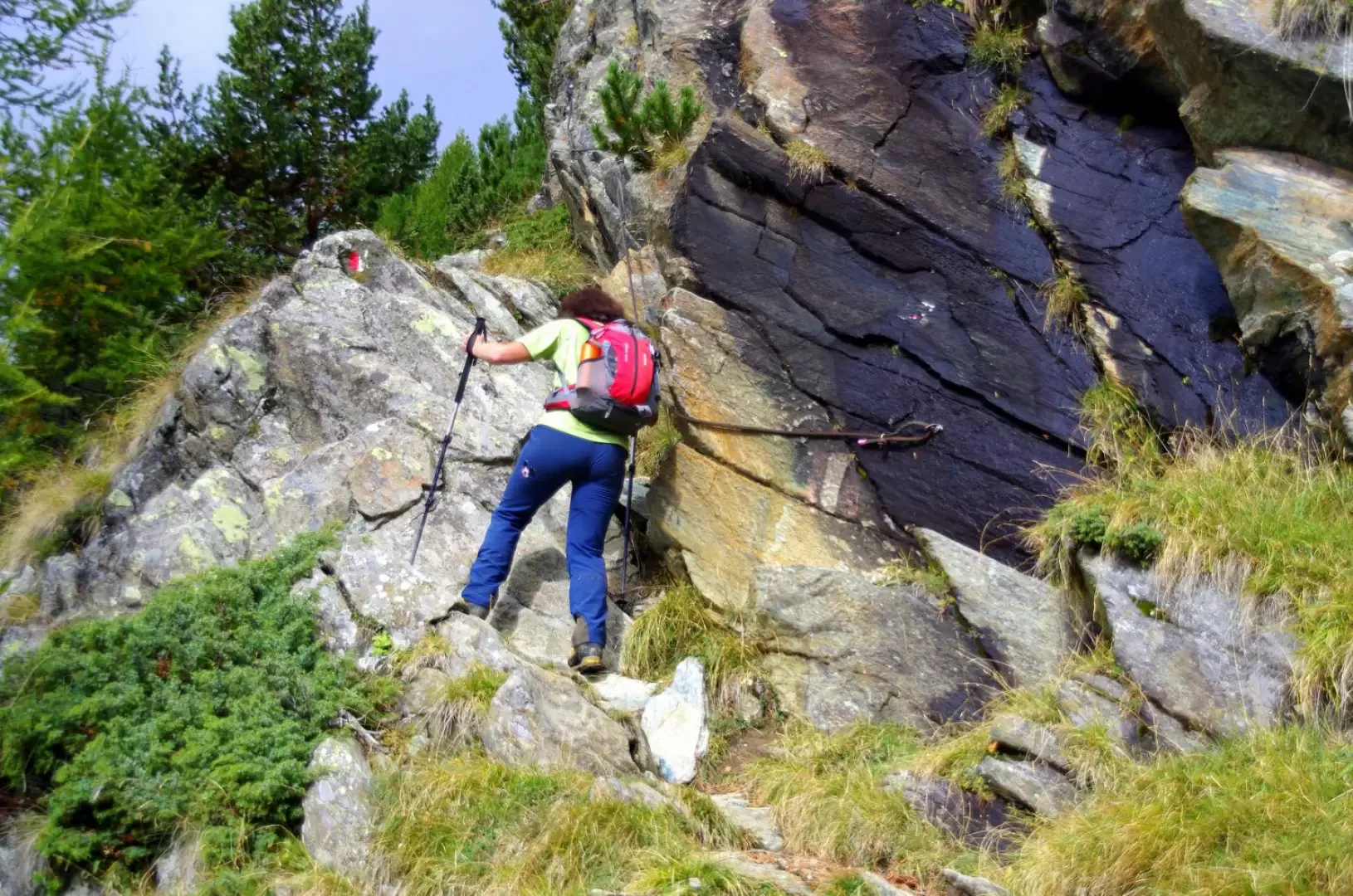
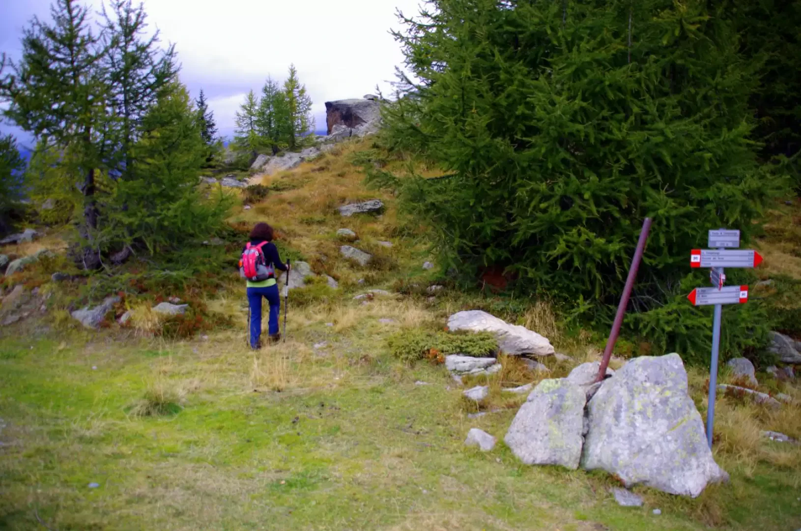
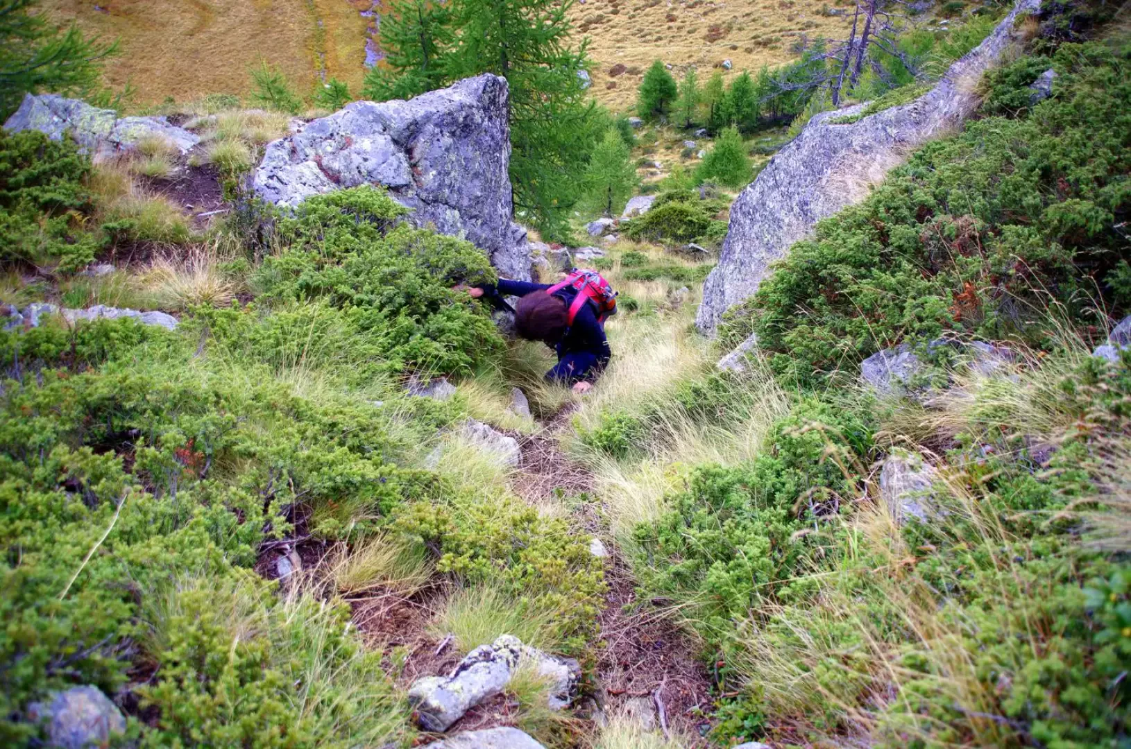
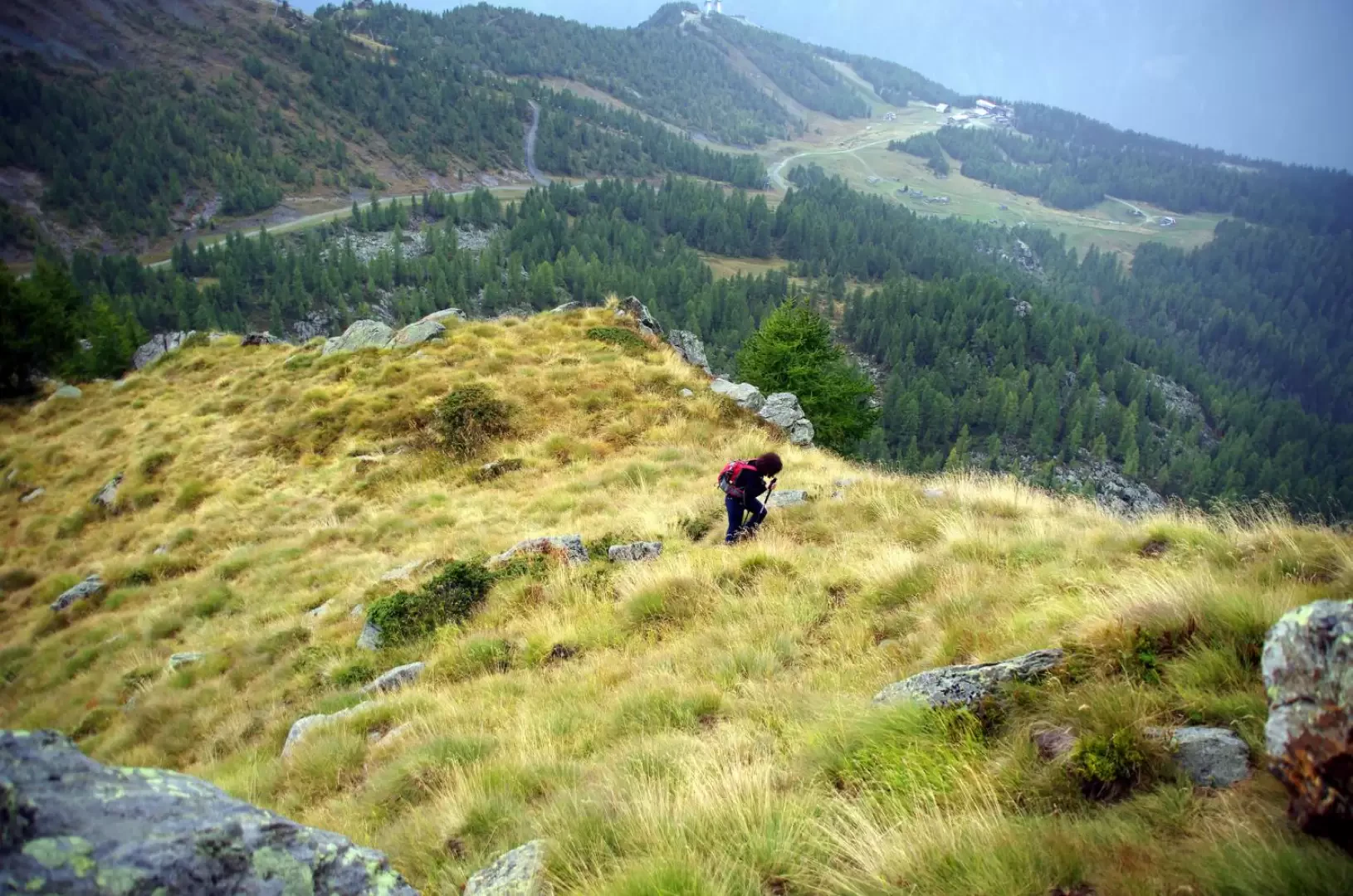
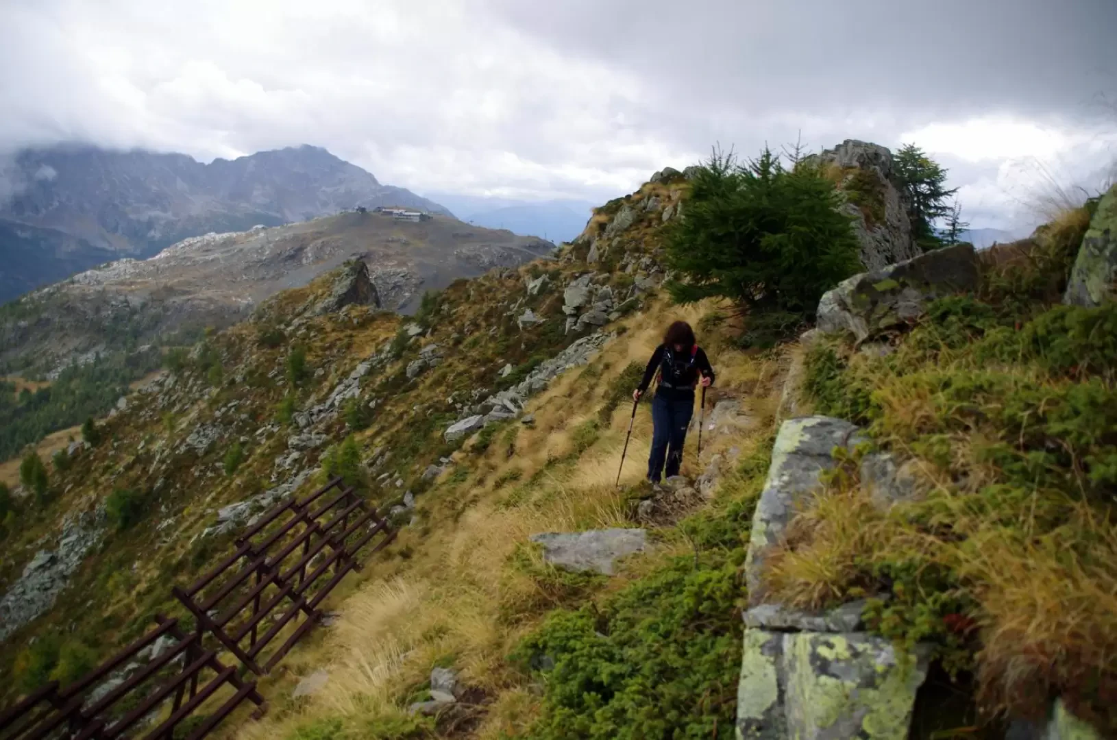
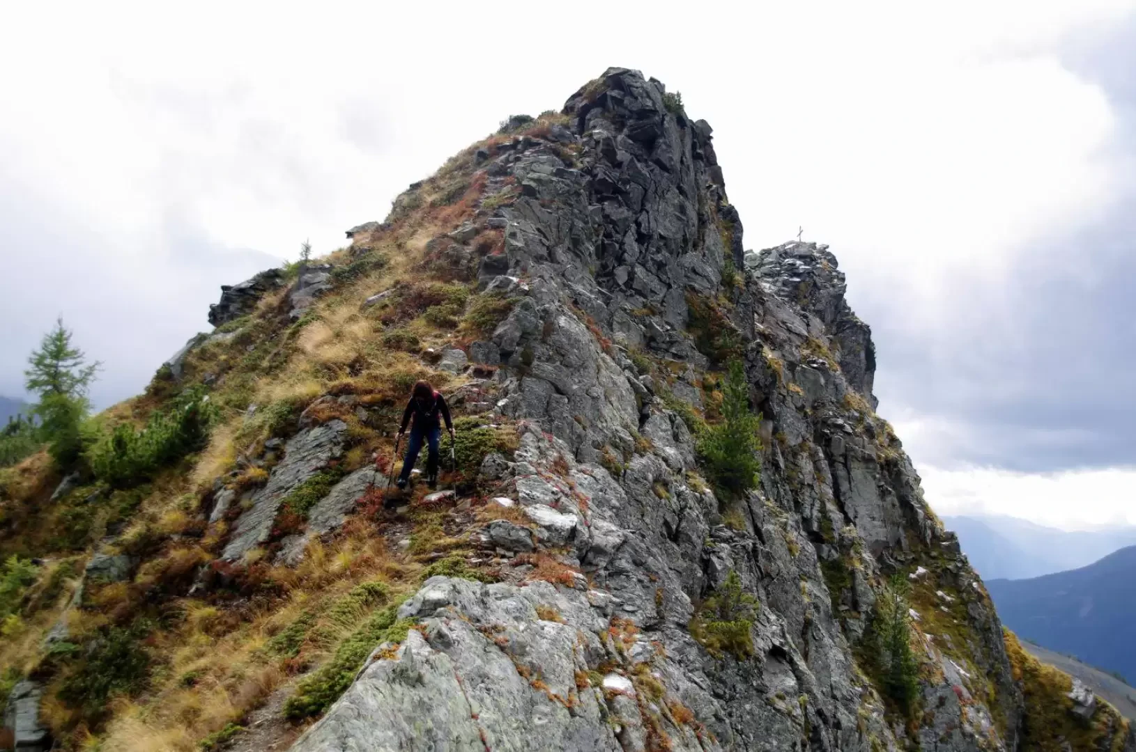
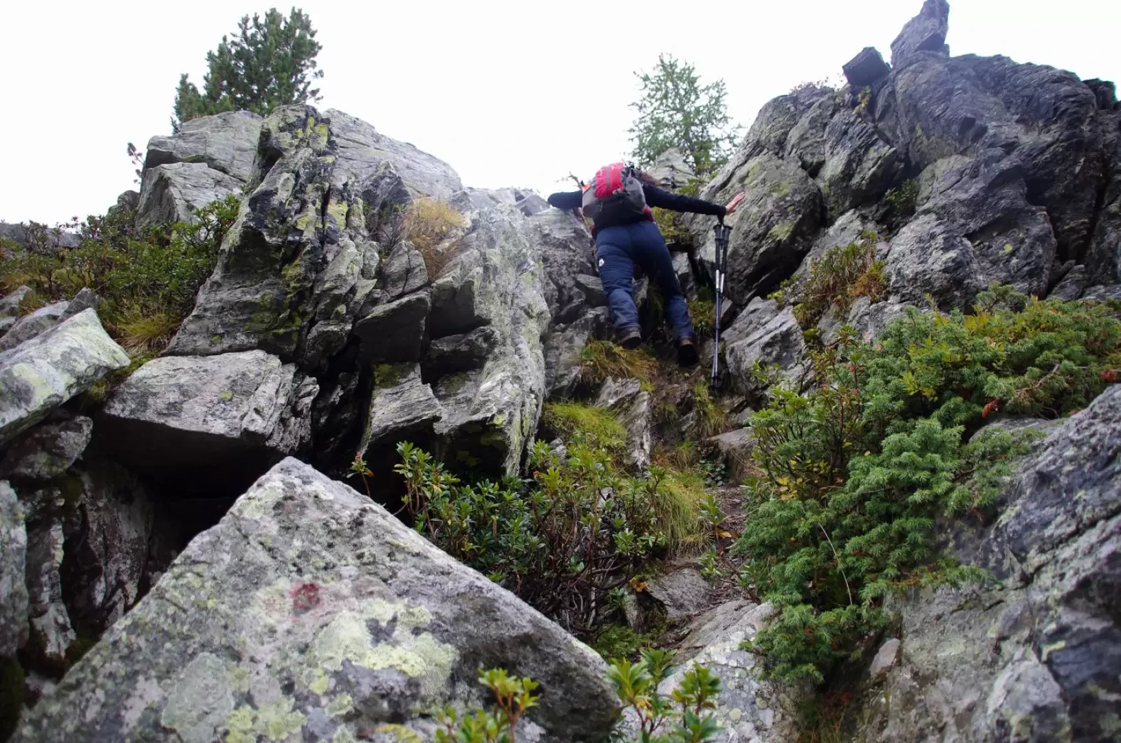
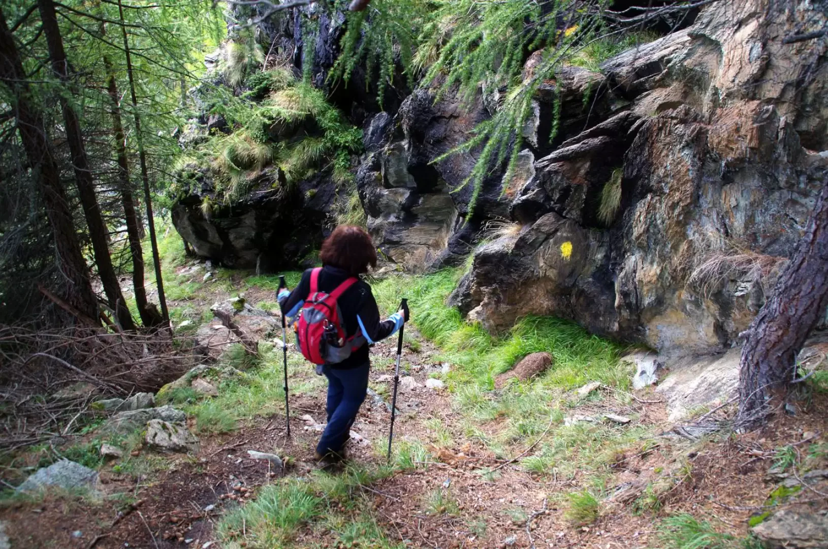
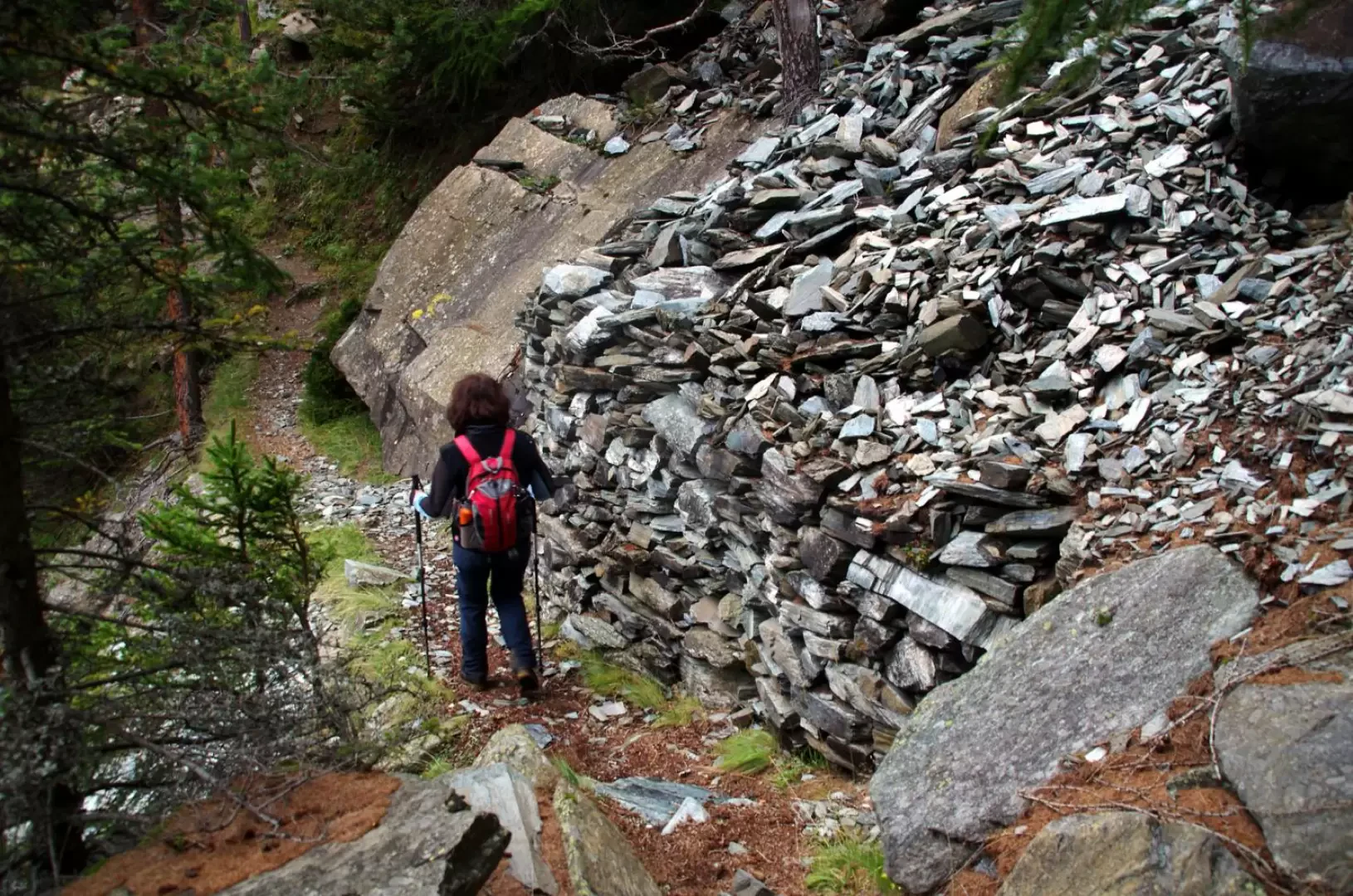
From the forecourt near the hairpin bend at Q 1300m, take the very steep cemented track to Maggengo Ponte; about 50m after a crucifix overlooking the hamlets of Lanzada, on the right, a small path leads off up a steep hump covered by a thick pine forest; At a fork in the road, continue to the right and, after a series of bends in the wood, reach the terrace of Cima Sassa 1721m, near the car park at the end of the forest track abandoned at the start. Go back along the road as far as the drinking trough at the entrance to the alpine pasture: here the old mule track to Franscia begins; at the right-hand edge of the clearing of the alpine pasture, near a drystone wall, a signpost indicates to continue to the left: the path goes along the upper edge of Cima Sassa and - with a long upward traverse - reaches a clearing at the base of the summit rocks of Mante Motta. The trail turns left and with a few easy ledge passages assisted by old handrail cables reaches the western shoulder of Monte Motta in the direct vicinity of Rifugio Motta 2180m (adjacent rock gym). We climb up a ski slope to the right that contours Monte Motta: having passed a chairlift, we can make out - on the right and more or less at the same altitude as us - the position of the Campolungo Pass 2167m; with a steep and landslide traverse (and also encountering a useful little path) we reach it. Directly next to a signpost, a little to the left, begin the very faint tracks to the summit. At the beginning, climb up between luxuriant rhododendron bushes across stepped ledges, until you reach the summit of three rocky towers (which are based on the northern edge of the Campolungo Pass and have some climbing routes), via a narrow grassy gully; this is followed by the key passage of the ascent, a rocky slab to be climbed up along a convenient slot: there is an old safety cable on site, which is, however, too short upwards. Climb up the crest on ledges of the eastern slope and you reach a vast plateau of pastureland; a new rocky surge of piled up boulders (panoramic window on Lago Palù) forces you to traverse again to the right until you reach a passage on the edge, here very thin and exposed. Having ascended a sort of anticima, one realises that it is curiously bifid in length: a wide and deep crevasse separates it into two structures. From here, the ridge, passing above some avalanche barriers, becomes more comfortable and - across a slope of piled boulders and little grass - reaches the rocky summit of Monte Roggione 2361m, characterised by an ancient, small wooden cross. Continue between the boulders of the northern ridge, which soon give way to a steep slope of grasses and colonising bushes: here the track is clearly visible and continues without difficulty (except for a single short grade I pass in a small gully) to the beautiful Bocchel del Torno hollow 2203m. From here, following the signs of the Alta Via della Valmalenco, descend for a few tens of metres along a ski slope, until a marker indicates on the right the start of an up and down path that - on the side of Monte Roggione - reaches the huts of Alpe Campolungo 2020m. Here the signs tend to disappear: one must cross a vast marshy plateau to the south-east until one finds oneself on the flat stretch of a new ski slope; following it towards the valley, after a few metres, at a small heap of stones, the trail starts again. The track descends steeply, keeping close to the basal rocks of Monte Motta; past a water intake and a rubble dump of a disused mine above, it joins a wide, flat mule track coming from Campo Franscia: follow it to the right, soon reaching the pastures of Cima Sassa. From here, retrace the steep outward path to the car park. Alternatively, it is possible to follow the forest track in its entirety or its shortcuts between Cima Sassa and Ponte.
General information
Signposts: -
Type of route: a/r
Recommended period: June, July, August, September, October
Sun exposure: southeast
Objective hazard -
Exposed sections:some exposed sections (Grade I climbing passages)
Useful equipment:normal medium mountain hiking equipment
Galleria fotografica