Monte Reale, from Cascine
Access
On the Genoa-Milan motorway, leave the Ronco Scrivia station and turn left. You pass the village of Ronco Scrivia and turn right over a bridge, passing the cemetery. You climb up a narrow carriageway and then turn left uphill with the road tending to widen as far as the hamlet of Cascine, where you leave your car (few parking spaces)
.Description
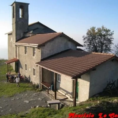
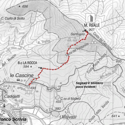
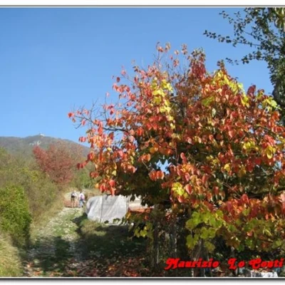
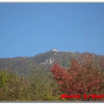
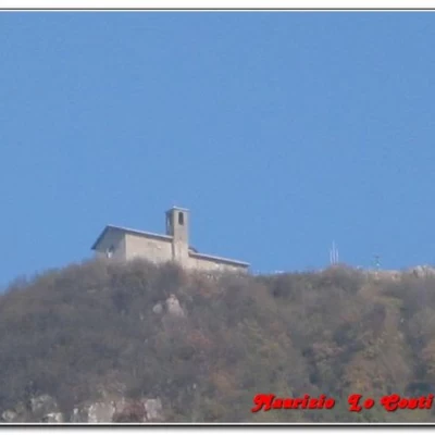
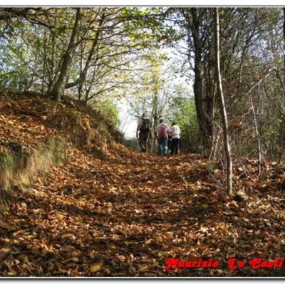
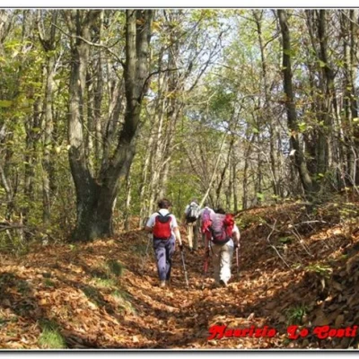
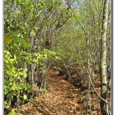
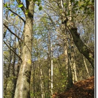
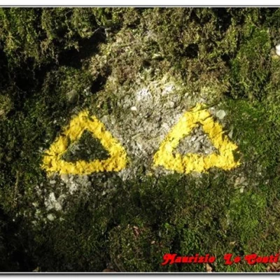
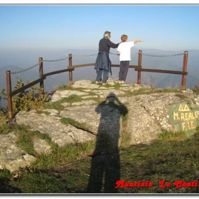
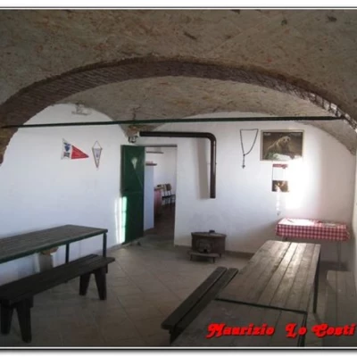
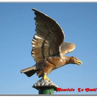
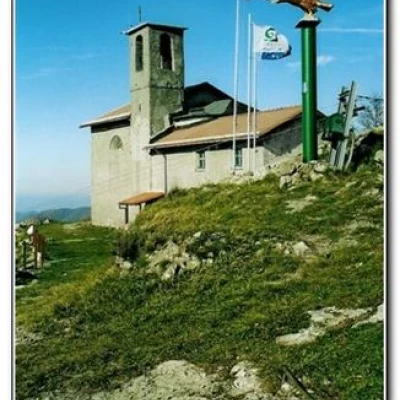
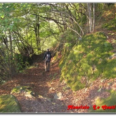
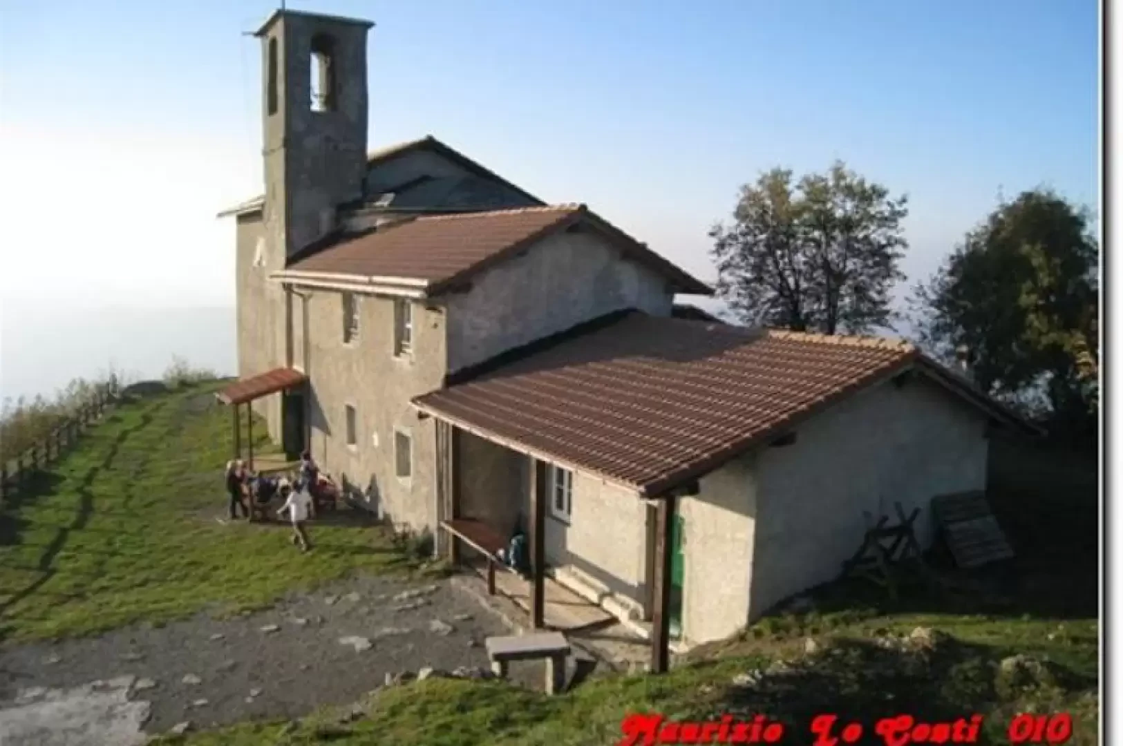
From Cascine (500 m), a high hamlet of Ronco Scriva (which can also be reached on foot in about 45'), choose the Fie two yellow empty triangles. At a fork, turn left, ignoring the road that continues horizontally marked with two yellow XXs. After the last houses, the dirt road continues its ascent (a track cuts across the hairpin bend and the choice is irrelevant) to a small chapel. A flat section follows, as the chestnut forest asserts itself. You pass the cable car station that supplies the building at the top and then the route climbs sharply with a series of hairpin bends through the dense chestnut forest. When you reach the fork with the three yellow dots, turn left and you are soon at the little church, which is usually closed, at an altitude of 907 (1h from the start at a hiking pace). Attached to the building, there is a refuge that is always open and well maintained (and a closed night part, with 8 beds). Praise is truly due to those who look after the facility so well (the association of friends of Monte Reale http://www.monte-reale.it/ and 0109350040). From the summit, the view is varied and splendid, and a few benches and tables invite you to take a long break. We return by the ascent route in 45'.
An alternative route is up from Minceto (reachable by car from Ronco Scrivia). The village is situated at 676 metres above sea level and the three yellow points are used (approx. 50' diff. T/E).
In the past, it was possible to do a loop going up from Cascine and down to Minceto. Then, you would close the loop with the two yellow triangles and return to Casine. Currently, this last marker is barely visible and the path is half-treated. Therefore, this option is not recommended.
If you would like some photos at the links
http://www.cralgalliera.altervista.org/altre2009.htm
direct link
http://digilander.libero.it/MAURIZIOLC/reale09.pdf
other photos of the area at the links
http://xoomer.virgilio.it/cralgalliera/reale.pdf
http://xoomer.virgilio.it/cralgalliera/reale06.pdf
http://digilander.libero.it/MAURIZIOLC/reale08.pdf
NB: In the case of an excursion, always check with FIE, Cai, the park authority or other institutions, pro loco, etc., that there have been no changes to the area, that there have been no changes that have increased the difficulties! No liability is accepted. This text is purely indicative and not exhaustive.
