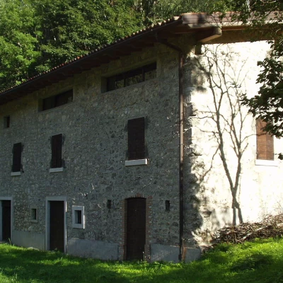
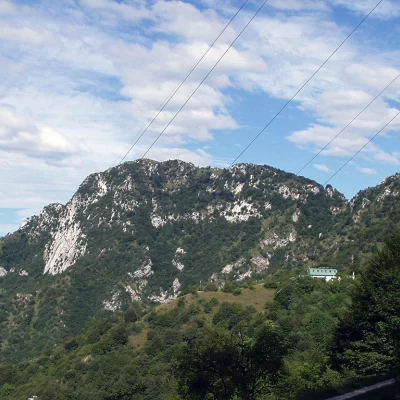
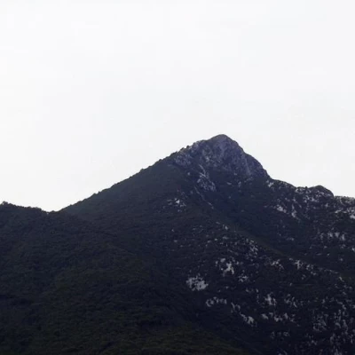
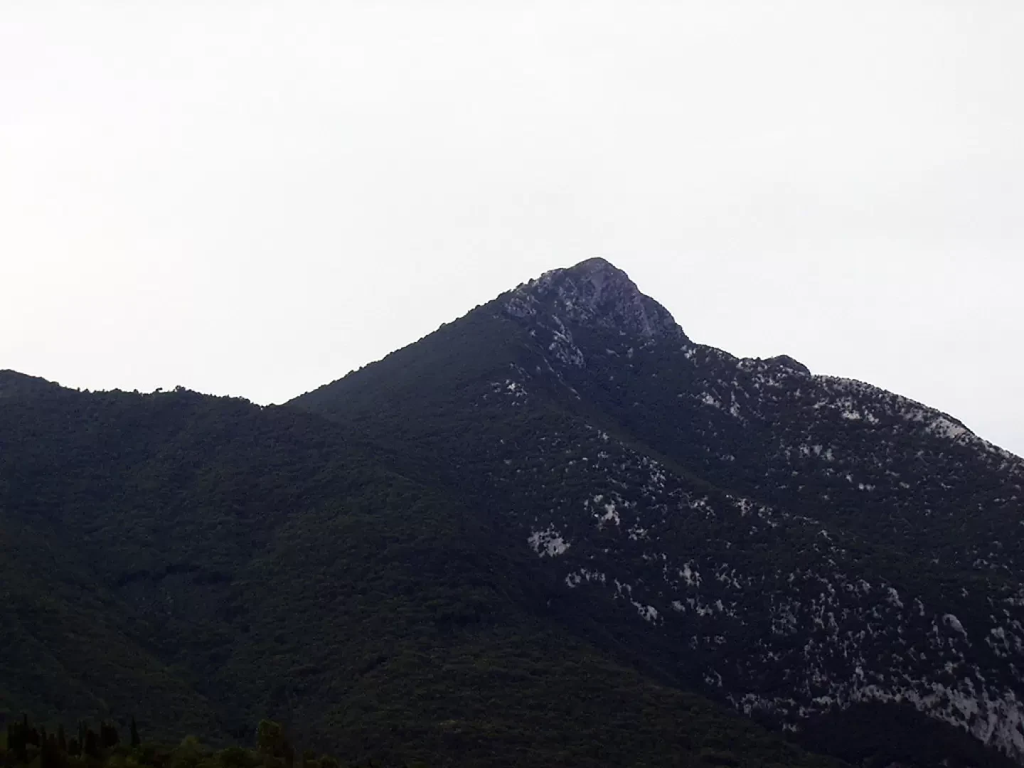
Monte Pizzoccolo, from Palazzo di Archesane
Access
Brescia Ovest exit on the motorway. Continue eastwards along the Tangenziale Sud/ and then onto the bis/Gardesana Occidentale. Leave the turnoff for Salò on the right, and along the coast of Lake Garda, pass through Gardone Riviera, Fasano and Maderno. After crossing the bridge over the Toscolano stream, take the road to the left for the hamlet of Gaino. Once in Gaino (274m), cross the village and take the small road to the left that climbs the high valley of the paper mills, narrow in the gorge of the Toscolano stream. At the bottom of the valley, we reach the Camerate bridge (300m) and, immediately afterwards, a second bridge, where we cross the Toscolano stream and enter the Archesane valley. The bridle path, which is rather uneven in places, climbs up to the Santella di Persèign (460m) and proceeds to the Maerni crossroads (550m), locally known as 'Vìe che spart'. Keep to the left and, still on a rough road, proceed along the northern slopes of Monte Pizzocolo to the locality of "il Palazzo di Archesane" (816m), where you can park near a lay-by.
.Introduction
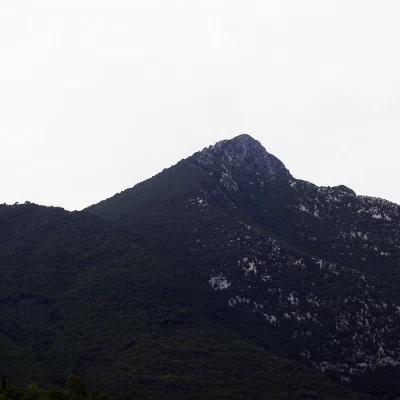
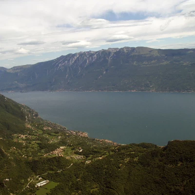
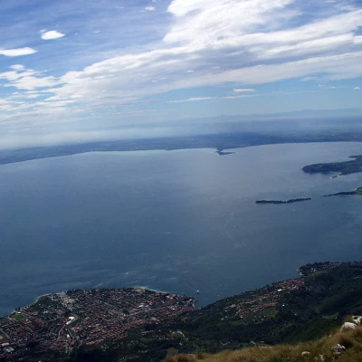
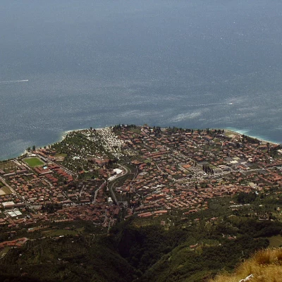
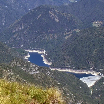
Mount Pizzocolo, together with the Monte Baldo chain on the Veronese shore, is certainly the mountain that most characterises the hinterland of Lake Garda. Giosuè Carducci himself wrote in his 'Odi Barbare' (Barbaric Odes), referring to the Monte Baldo chain and Monte Gu, a name once used in the Veronese dialect to indicate Monte Pizzocolo (probably as a shortening of the French adjective 'aigu' meaning acute): ... 11 Baldo, paternal mountain, protects the beauty from above 12 with its cloudy brow: 13 Gu seems a titan to her fallen in battle, 14 supine and threatening. ... (Odi Barbare - Sirmione, book 1, chapter 15) The name 'pizzocolo' (in the local dialect 'pishocòl') probably derives from 'pizzo' and 'zoccolo', perhaps because of its hoof-like shape (although in some places around Verona it is said to resemble Napoleon's profile) or from 'pinzocol', which in Val di Ledro and Alto Garda means 'protruding rock'. The panorama from Monte Pizzocolo is, despite the modest altitude, simply incredible: it goes from the Adamello group, to Monte Rosa, to the Apennines, to the lower and middle Lake Garda, to the Monte Baldo chain, to Montegargnano, to Lake Valvestino, etc. Some even claim that, in particular climatic conditions and air clarity, the Venice lagoon can be observed. Near the summit there are also some military ruins from the First World War 1915-18, although this area was not directly the scene of battle. The proposed itinerary starts from "il Palazzo di Archesane", an ancient building, probably dating back to the first half of the 17th century, and hunting lodge of the Delay counts, in the past one of the most important families of the Riviera and a dynasty also famous for having supplied the Serenissima Republic of Venice with the three thousand bombards destined for the victorious battle of Lepanto. The ascent from Valle di Archesane takes place along a dirt road through dense woodland on the north-western slopes of Monte Pizzocolo to Passo di Spino, near the 'Antonio Duse' Regional Ornithological Observatory and the Giorgio Pirlo Refuge at Spino. We proceed along another stretch in the woods to the "Passo delle Merle", from where there is a magnificent panorama of Lake Garda below. The final part of the climb is on beautiful grassy slopes.
Description
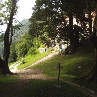
From the car park near "il Palazzo di Archesane" (816m), take the wide dirt track
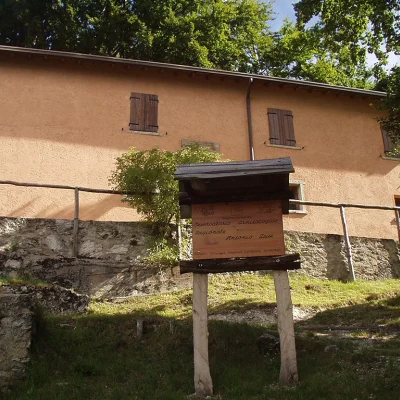
, in the first section coinciding with the "Sentiero Forestale Valle di Archesane" (Archesane Valley Forest Path), which climbs up through the pastures. During the ascent, as far as the 'Doss de Montagnù' crossroads, you come across some information boards on the classification and life of the main tree species in the area. We then enter the forest, which, given the particular climatic conditions and soil potential of the Archesane Valley, has a particularly complex structure with trees of good stature. We ascend, quite steeply, walking among tall trees often indicated by the corresponding information boards, i.e.: Beech (Fagus sylvatica L., in the local Fó dialect), Mountain Maple (Acer pseudoplatanus L., in the local dialect "Acer dé mut"), Mountain Elm (Ulmus glabra Huds., in the local dialect "Ulem"), Greater Ash (Fraxinus excelsior L., in the local dialect "Fràsen") and Carpino Nero (Ostrya Carpinifolia Scop., in the local dialect "Carpen").
Furrowing up through the dense woodland, leave the signpost for the "Sentiero Forestale Valle di Archesane" on the right at "Doss de Montagnù" (1080m), which, after a wide circle, descends just before "il Palazzo di Archesane". A few more minutes' walk and we reach Passo di Spino (1160 m, 0h50'), right near the ornithological observatory, with Rifugio Pirlo already in view and, in the background, Monte Spino, Marmera and Monte Forametto.
We now turn left, marker
, leaving the dirt track to the right for Rifugio Giorgio Pirlo allo Spino, and re-enter the woods along the twists and turns of a small war road (known as "delle Merle"). The track rises along the northern flank of the "delle Prade" ridge and comes out at the Passo delle Merle (1352m, 1h20'), locally referred to as "Località le Merle - Dos delle Prade". From the pass, the view over the lower Lake Garda is stupendous.
Leaving the mule track on the right, signposted
, for Pirello and Sant'Urbano, we proceed, level, to the left among splendid raspberry bushes. You pass a few ruins from the First World War 1915-18 and, after a short distance, take a steep little path, on the left, that cuts a couple of hairpin bends off the main mule track. The path now goes round the Ciprelli, two grassy knolls that form the highest part of the Dosso delle Prade, along a stretch of mule track known as "la Stangàa" (perhaps derived from the Germanic word "stanga" to indicate a protective fence) and then descends to the "Sguàs de cimènto", a modest waterhole fenced off on one side by a low wall. Nearby is a casemate or reserve from the First World War 1915-18 for the use of the Royal Italian Army.
The dirt track now climbs up to the "Sguàs dele pìle" (1440m), near which the path, signposted
-
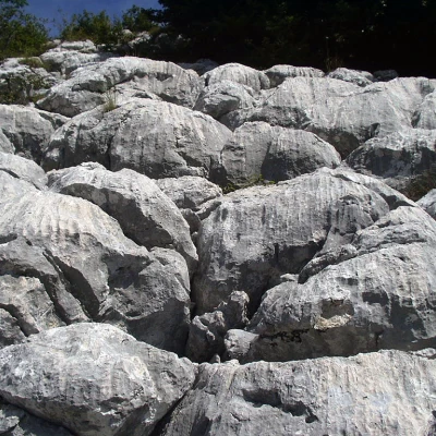
, the "Via di Valle", from Malga Valle, also arrives. A little higher up, on the left, are clearly visible areas of "campi solcati", macroforms of epigeal karstification linked to the dissolving action of the water.
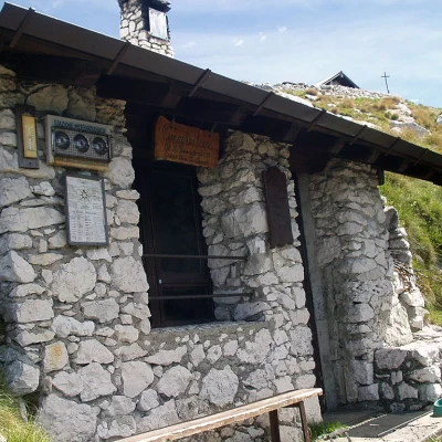
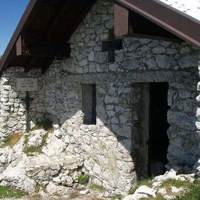
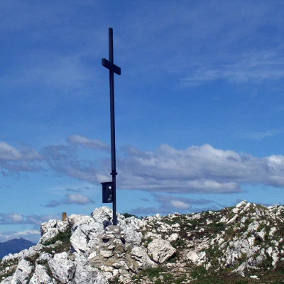
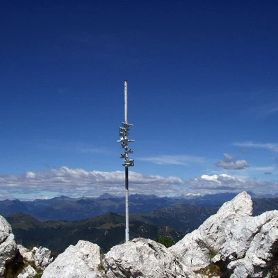
The mule track, now a little uneven, passes next to a rocky ravine where the Madonna del Pizzocolo is located, touches on a second area of "campi solcati", and leads, by now close to the summit, to the Bivacco Due Aceri, built on the remains of previous military ruins. A few metres further up is the little church to the Fallen of All Wars and the Mountain, also built on old military ruins. A few more metres and you reach the summit of Monte Pizzocolo where a cross stands. An observation point has been set up to the side with a few pieces of pipe pointed at the main peaks that can be observed.
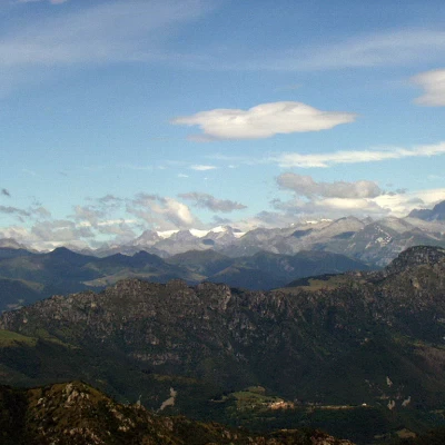
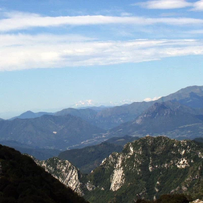
The panorama from Monte Pizzocolo is, despite the modest altitude, simply incredible: it goes from the Adamello group, to Monte Rosa, to the Apennines, to the lower and middle Lake Garda, to the Monte Baldo chain, to Montegargnano, to Lake Valvestino, etc. Some even claim that, under particular weather conditions and clearness of the air, the lagoon of Venice can be observed.
The return journey takes place along the same route as the ascent. We return to the Passo delle Merle (1352m, 0h50'), descend to the right to the Passo di Spino (1160m, 1h10') and, again to the right, through the woods of the Valle di Archesane to "il Palazzo di Archesane" (816m, 1h50').
