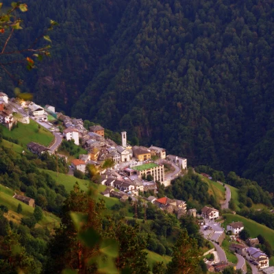
Monte Pitalone, from Arzo
Access
From Milan to Morbegno along the state roads and ; in the centre of the town you reach Piazza S.Antonio and from here, passing under a school building, take the provincial road "Transorobica" to Passo S.Marco. When you reach the locality of Arzo, park near the large church.
[0h..'] - [..km]
How to get there with GMaps
How to get there with Apple Maps
Introduction
Short excursion for purely panoramic purposes suitable for filling a half-day available. Mount Pitalone, observed from the opposite side of the Valtellina, is certainly not well identifiable: in fact, it is an indistinct wooded shoulder (however listed on the maps) with a rocky crag overlooking the Bassa Valle. It is known as 'the mountain of Morbegno' mainly due to the fact that in winter, for long months, it prevents the sun from shining on the old town centre.
Description
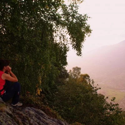
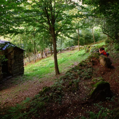
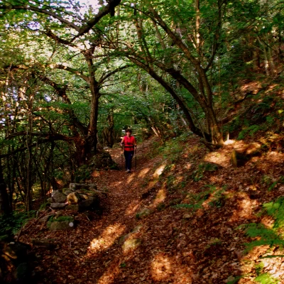
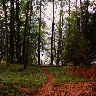
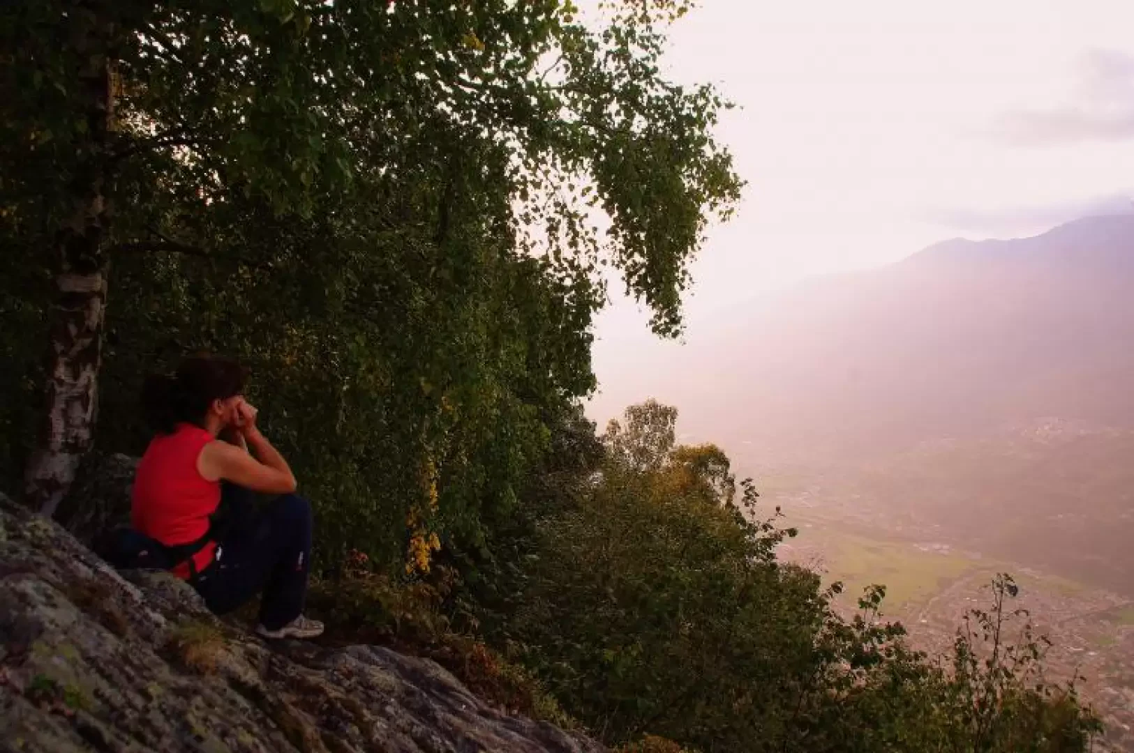
From the car park, cross the provincial road to take the tarmac road that leads to the cemetery; then continue past a farmstead and climb up eight hairpin bends in the woods. The road turns into a beautiful dirt track that leads eastwards halfway up the slope above Talamona. Along the way it is necessary to note the, albeit exuberant, white-painted tracks: you must leave the track just beyond a restored hut a few metres above the road. At an altitude of about 950 m, climb back up the direction on a beautiful mule track between dry stone walls that retraces the route taken on the dirt track further uphill: the route is up and down through fir and chestnut woods, interspersed with clearings with more or less active rural buildings. You reach a large clearing used for country festivals of the Alpe Pitalone Consortium: the path continues westwards, barely visible in the grass; in view of a wooden fence overlooking the Bitto Valley, you should spot a small path on the left that climbs the steepest slope. Follow it without any problems, helped in the rare forks by sparse red marks. The path is steep in places, always winding through the woods: at about 1040 m you come to a drinking fountain and, a little further on, at about 1100 m, a sloping clearing with a view of the village of Albaredo below. After a last surge, the trail tends to level out among increasingly sparse trees, until it enters a meadowy hollow corresponding to the summit mapped as Monte Pitalone 1334 m. Reaching between the bushes the northern edge of the clearing, at some rocks, you can look out carefully for the panoramic viewpoint: in front of you is the entire Costiera dei Cech (the slope between Valchiavenna and Valmasino) and all the Valmasino peaks included in the Valli di Zocca and Torrone.
Return along the outward route.
