Monte Piscino, from Biorca

Introduction
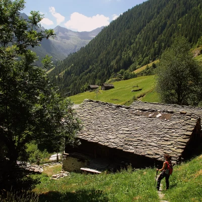
A scenic hike through now abandoned alpine pastures on the less 'fortunate' side of Val Tartano: avalanches in winter and water shortages for livestock in summer. In spite of the disuse, great traces of ancient work remain on the route: paved mule tracks, dry stone wall embankments, ledges carved into the rock: sometimes it is worth facing some slight orientation difficulties to encounter spontaneous engineering works destined for rapid degradation.
Description
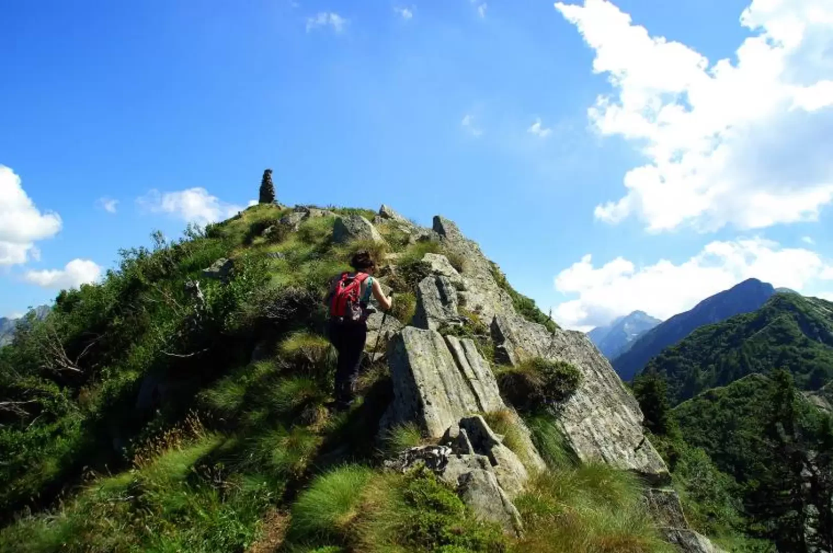
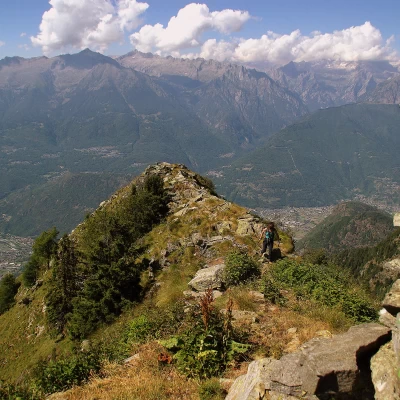
From the contrada Biorca 1140 m, continue briefly along the Val Corta dirt track until you take the first asphalted turnoff to the right: a few hairpin bends lead to the few houses of the contrada Fognini 1298 m. Following the painted signs in the meadows, you reach a fork in the road: continue to the right and continue the ascent, which soon enters the forest. The beautiful mule track climbs up the fir forest with a series of bends and, overcoming a difference in altitude of about 300 metres, leads to the very wide clearing of Alpe Piscino. The few huts extend between 1600 and 1750 m altitude. On these pastures, the track becomes obliterated and signs become rare and deteriorated: it is necessary to climb with successive reference points. At first, one heads for the only hut with a wooden fence, the one apparently higher up, a little to the right, at the edge of the forest. Having reached it, go up vertically to cross a strip of larch woodland (remains of water-collecting equipment) until you reach a last hut (date engraved on a stone near the door: 1958); behind the building, you intercept a good path that must be followed to the right: it takes you through three landslide valleys (in winter, avalanches that run out near the car park) and then gets lost. At this point, a meadowy depression is visible on the upper left: one easily reaches it along a meadow bordered by several dry stone walls ("barek"). The depression reached 1880 m (listed but not named on the maps; locally "la furscèla") overlooks an impassable gully on the mountains of the commune of Talamona. Turning to the left shoulder of the gully, you return to the forest and find a steep marked track: it is very bumpy and stony, but easily identifiable among larch and alder trees. Once out of the forest belt, the path, with the same basic characteristics, becomes very exposed in places on the cliffs of the northern slope, and finally follows an easy ridge of scattered boulders for a few dozen metres. Paying attention to the exposure, we reach the flat summit of Monte Piscino 2091 m ("Scima del Piscìi") characterised by a very high cairn of stones. There is a vast panorama over the entire lower Valtellina as far as a large section of Lake Como, the Costiera dei Cech and the Masino mountains. Return along the ascent route.


