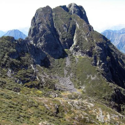
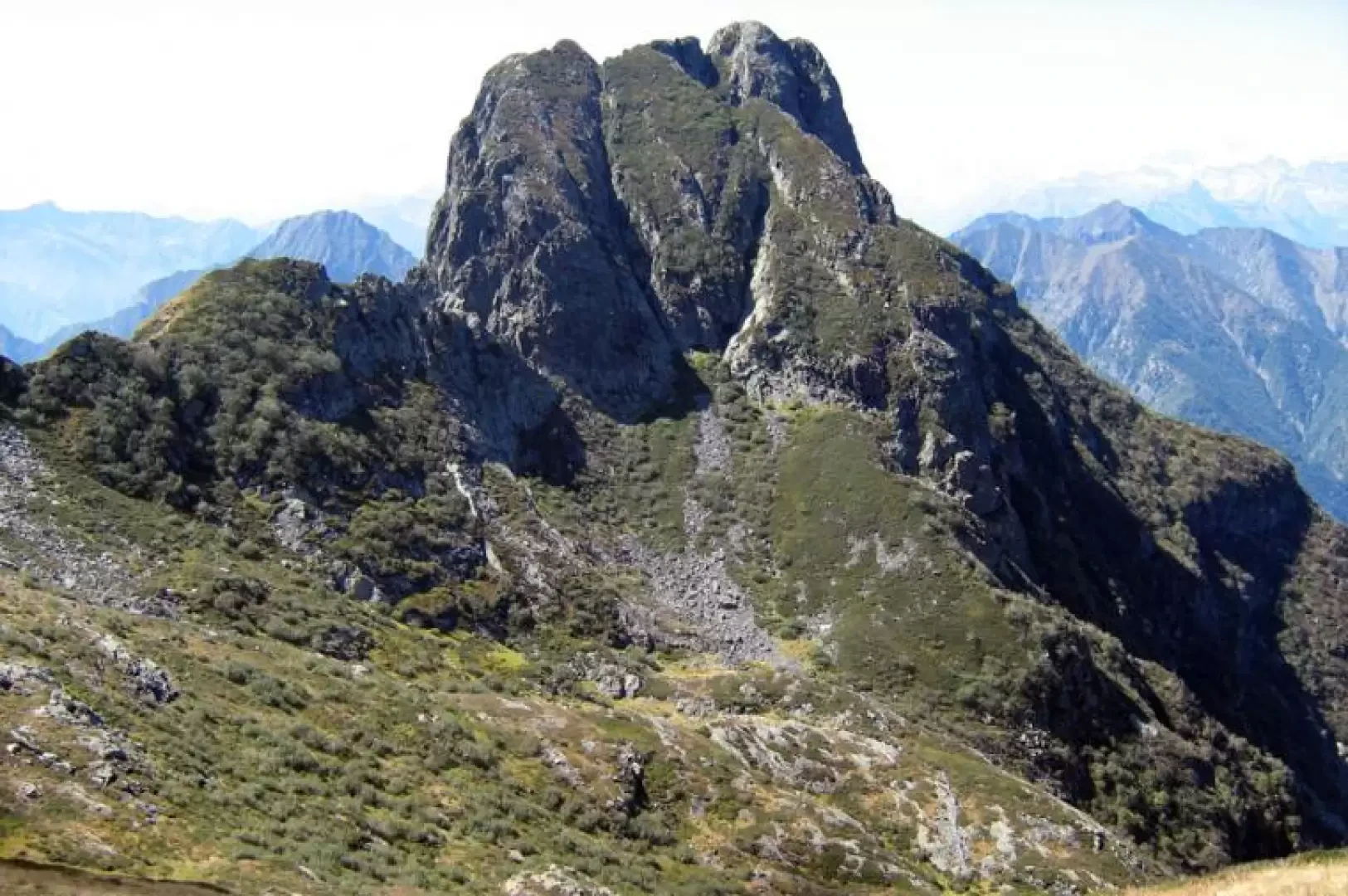
Mount Pedum, from Fondighebi
Access
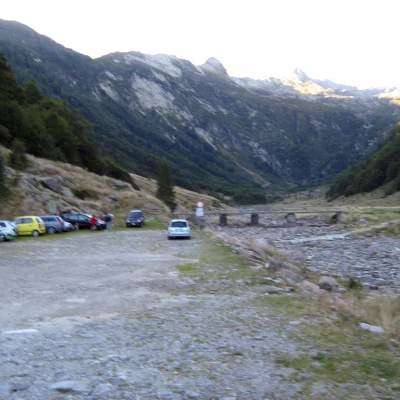
From the SS33 Simplon road, take the exit for Val Vigezzo, and when you reach Malesco, take the road for Va Loana, at the end of which you will park in the locality of Fondighebi.
Introduction
Beautiful nature hike, giving the opportunity to immerse oneself in the Val Grande National Park. The final part of the hike, which involves the ascent to Pedum, is a little exposed and challenging, but reaching the top is well worth the effort and effort to reach it.
Description
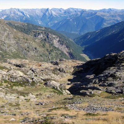
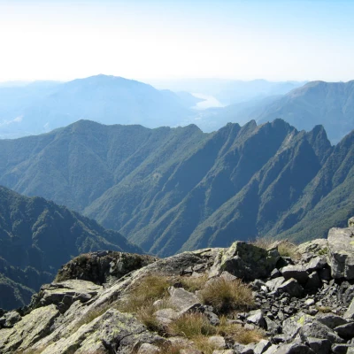
From Fondighebi 1256m, walk southwards along the entire valley, taking the obvious path that leads first to Alpe Cortenuovo 1792m, then to Alpe Scaredi 1841m. From Alpe Scaredi, follow the signs for the Laurasca peak and then turn right halfway up the slope to reach the Scaredi pass 2095m. Continuing along the ridge with a beautiful panorama, you reach Bocchetta di Campo 1994m, recently renovated and available for bivouacs. From Bocchetta di Campo, you can admire the majesty of Monte Pedum. Descend by tracks into the valley below until you reach the foot of the mountain, the route is very clear, and then begin the demanding ascent to the summit of Mount Pedum 2111m. Tiring final ascent but fully rewarded by the beauty of the panorama.
.