Monte Oriolo, from Barni
Access
From Lecco or Como, take State Road 639 to Erba. From here you take the SP40 'Valassina' and pass the towns of Ponte Lambro, Caslino, Canzo, Asso, continuing on to Lasnigo; just before the village, on the right, look for the turning for Coca di Crezzo. Go through the entire wooded and agricultural valley and, when the road begins to descend towards Barni, turn left for the restaurant 'La Madonnina'. At the last hairpin bend before the restaurant, park in a clearing for loading timber.
Introduction
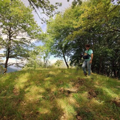
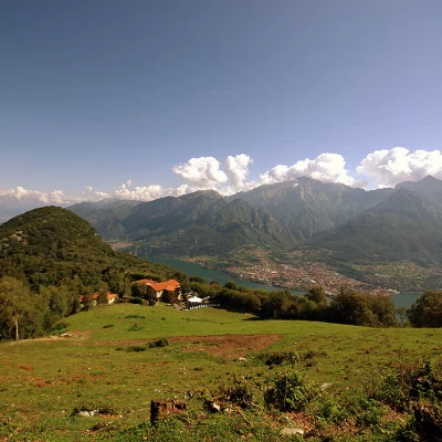
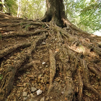
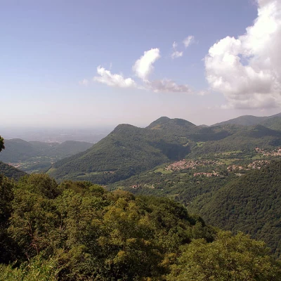
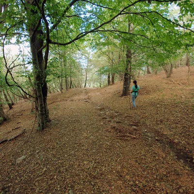
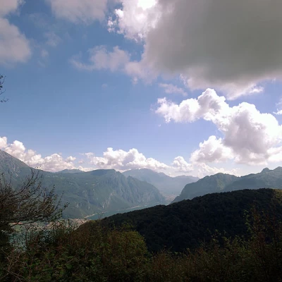
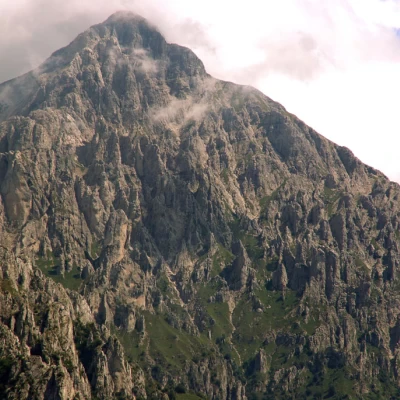
Short, shady hike that leads over the wooded crest dividing the Valassina from the Conca di Crezzo. The arboreal flora varies from the damp and dark chestnut/beech forest to the arid and sunny querceta. At times there are panoramic views of the Lecco branch of the Lario and the Grigne; on the opposite side the view includes all the pre-Alpine elevations of the Larian Triangle.
.Description
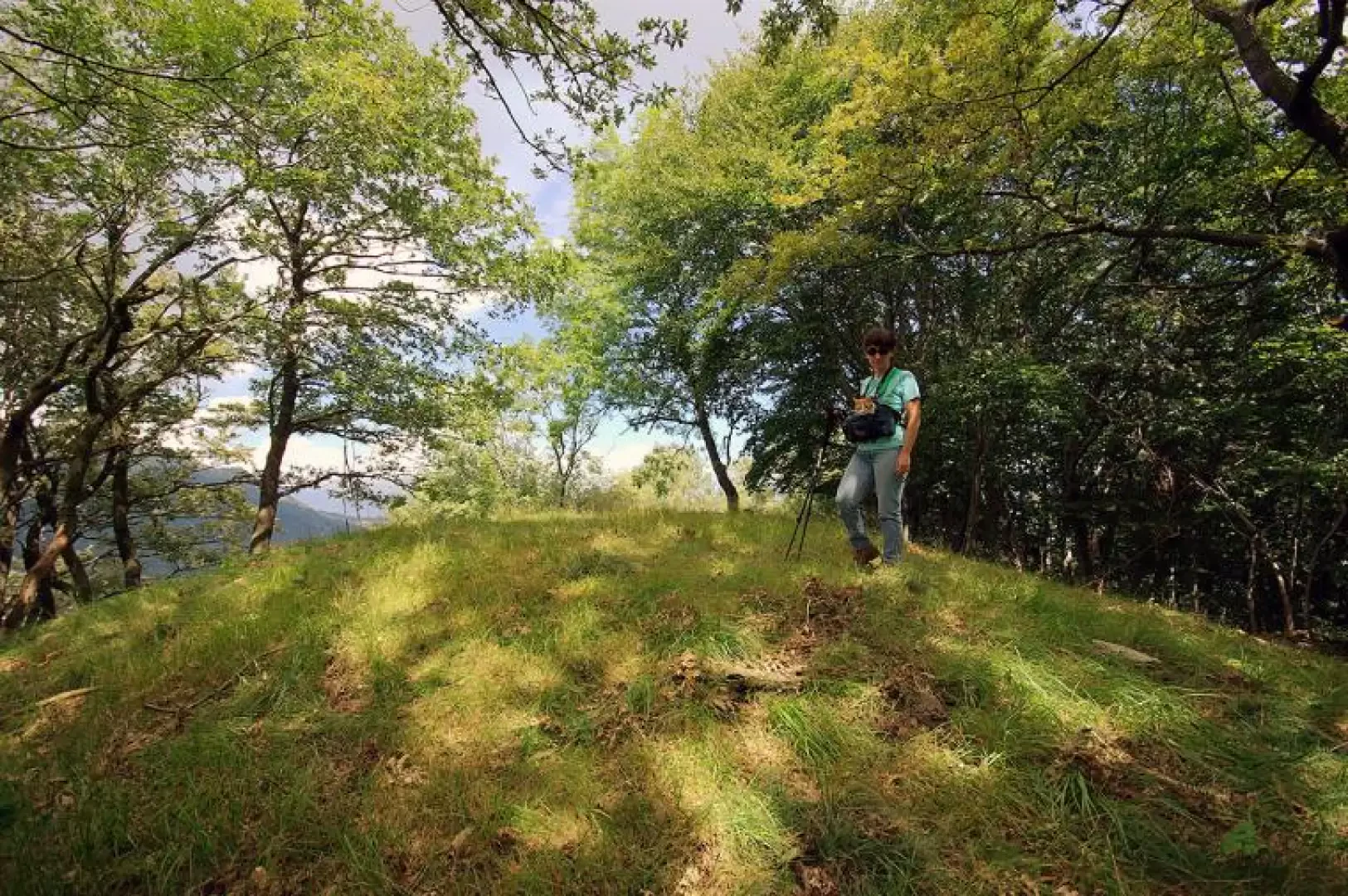
From the car park clearing, continue south-westwards along the track marked out by forestry vehicles, taking care to omit the secondary branches. The main track, past a shed with a horse corral, climbs up the side of the hump with wide hairpin bends with a surface made uneven by rainwater runoff on the impermeable clay soil. We soon reach a grassy clearing and from here, on the steepest line of the wide ridge, we reach the summit of Monte Colla 1101m occupied by the antennas of a repeater. Continue across a meadow to re-enter the culminating forest and find a trail that follows the profile of all the elevations to the southernmost, Monte Oriolo 1076m. Along this route, alternating eastwards or westwards, you can admire the strictly alpine and alpine views of the Grigne or the high hills of the Larian Triangle converging on the Ghisallo Pass, well known to cyclists.
If you want to keep the excursion short in order to occupy a free half-day, the return can only be along the outward path. Otherwise, it is possible to descend from Monte Oriolo to Lasnigo along a very steep and uncomfortable path and then retrace the Conca di Crezzo carriageway to the car park at "La Madonnina".
